Redgleam (Harwood Common)
715m (2346ft)
The North Pennines, County Durham, England
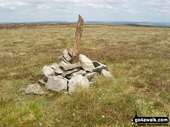
Not familiar with this top?
You can walk/hike to the top of Redgleam (Harwood Common) by using any of these 3 easy‑to‑follow route maps:

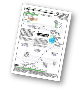
Walk du152 Great Stony Hill and Dead Stones from Burnhope Reservoir
Easy walking on wild moorland
   |
|---|
Vital Statistics:
| Length: | 11.5ml (18.5km) |
|---|---|
| Ascent: | 1,631ft (497m) |
| Time: | 5.75hrs |
| Grade: |  (Moderate) (Moderate) |
Route Summary:
Burnhope Reservoir - Ireshope Moor - Coldberry End - Great Stony Hill - Scaud Hill - Redgleam (Harwood Common) - Burnhope Seat - Dead Stones - White Edge (Burnhope Reservoir) - Lamb's Head - Highwatch Currick - The Malakoff - Bents Head - Stripe End - Burnhope Reservoir


Walk du132 Three Pikes, Great Stony Hill and Viewing Hill from Langdon Beck
Fine views in all directions - can be boggy!
|
|---|
Vital Statistics:
| Length: | 14ml (22.5km) |
|---|---|
| Ascent: | 1,743ft (531m) |
| Time: | 7 hrs |
| Grade: | (Moderate) |

Route Summary:
Langdon Beck - Tarn Hole - Tarn Hole Edge - Three Pikes - Grasshill Common - Causeway Hill - Coldberry Edge - Great Stony Hill - Scaud Hill - Redgleam (Harwood Common) - Swallow Hole - Holdenhurth Band - Herdship Fell - Viewing Hill - Backside Fell Bothy - West Common - Touting Hill - Cow Green Reservoir - Widdybank Fell - Langdon Beck

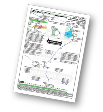
Walk du114 Three Pikes and Burnhope Seat from Burnhope Reservoir
Easy walking on wild moorland
|
|---|
Vital Statistics:
| Length: | 14ml (22.5km) |
|---|---|
| Ascent: | 1,904ft (580m) |
| Time: | 7 hrs |
| Grade: |  (Hard) (Hard) |
Route Summary:
Burnhope Reservoir - Ireshope Moor - Coldberry End - Three Pikes - Coldberry End - Great Stony Hill - Scaud Hill - Redgleam (Harwood Common) - Burnhope Seat - Dead Stones - White Edge (Burnhope Reservoir) - Lamb's Head - Highwatch Currick - The Malakoff - Bents Head - Stripe End - Burnhope Reservoir
See Redgleam (Harwood Common) and the surrounding tops on our free-to-access 'Google Style' Peak Bagging Map:

The North Pennines
Less data - quicker to download
See Redgleam (Harwood Common) and the surrounding tops on our unique, downloadable, PDF Peak Bagging Map:

NB: Whether you print off a copy or download it to your phone, this PDF Peak Baggers' Map might prove incredibly useful when your are up there on the tops and you cannot get a phone signal.
You can find Redgleam (Harwood Common) & all the walks that climb it on these unique free-to-access Interactive Walk Planning Maps:
1:25,000 scale OS Explorer Map (orange/yellow covers):
1:50,000 scale OS Landranger Map (pink/magenta covers):
 Fellow go4awalkers who have already walked, climbed, scaled, summited, hiked & bagged Redgleam (Harwood Common)
Mark Davidson walked up Redgleam (Harwood Common) on August 8th, 2008 [from/via/route] Walk du152 Great Stony Hill & Dead Stones from Burnhope Reservoir [with] Alone [weather] High white cloud - bit cool for August
Kevin Foster climbed it on September 4th, 2018 [from/via/route] du132 from Langdon Beck. [with] Henry. [weather] Cloudy but with plenty of sunny breaks. - Great Stony Hill had the feel of a proper mountain top with great views all round. The track skirting Viewing Hill was very easy walking after what had gone before. The only problem was having to leave it to make a pathless ascent & descent off Viewing Hill itself. Be warned on reaching Cow Green visitor car park the walk is far from over as there is another 4 km of road walking to go to return you back to the starting point at Langdon Beck. Overall a very enjoyable walk though.
Darren Mortimer bagged it on May 6th, 2017 [from/via/route] Burnhope Reservoir [with] Dermot Palmer [weather] Overcast with the odd sun & windy on the tops. - If Peat Hags are your thing then this walk ( du114 ) is for you
Christine Shepherd hiked Redgleam (Harwood Common) on April 20th, 2016 [from/via/route] Walked from Burnhope reservoir using walk du 114 [with] On my own [weather] Sunny with a pleasant breeze.
Ray O'hara summited on June 24th, 2013 [from/via/route] DU132 [weather] overcast, but summits clear - Nice views across to Great Dunn Fell & Cross Fell
To add (or remove) your name and experiences on this page - Log On and edit your Personal Mountain Bagging Record
More Photographs & Pictures of views from, on, or of, Redgleam (Harwood Common)
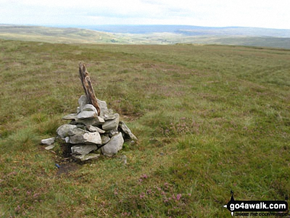

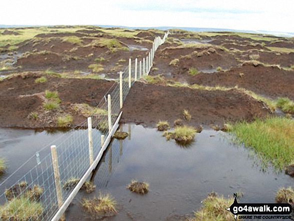
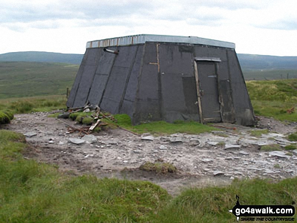


Send us your photographs and pictures on, of, or from Redgleam (Harwood Common)
If you would like to add your walk photographs and pictures to this page, please send them as email attachments (configured for any computer) along with your name to:
and we shall do our best to publish them.
(Guide Resolution = 300dpi. At least = 660pixels (wide) x 440 pixels (high).)

You can also submit photos via our Facebook Page.
NB. Please indicate where each photo was taken and whether you wish us to credit your photos with a Username or your First Name/Last Name.