The 30 nearest, easy-to-follow, circular walks, routes & maps to UK Postcode BT74

The thirty nearest, easy-to-follow, circular walks, routes & maps to UK Postcode BT74 in Walk Grade Order

Walk 1 Walking Bootprint Icon

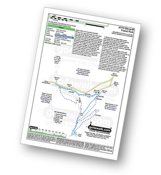
Walk at114 Glenariff Forest Park

Forest paths and cascading waterfalls

Download Map and Route Details for walk at114

Vital Statistics:

Length:6.75 miles (11 km)
Ascent:722ft (220m)
Time:3.25hrs
Grade:Grade 3 Walking Easy
Walk 2 Walking Bootprint Icon

Walk dg110 Dunskey Castle from Portpatrick

Fabulous coastal views and an ancient castle

Download GPS Waypoint Data for walk dg110
Download GPX Waypoint Data for walk dg110
Download Map and Route Details for walk dg110

Vital Statistics:

Length:6 miles (9.5 km)
Ascent:1,011ft (308m)
Time:3.25hrs
Grade:Grade 4 Walking Moderate
Walk 3 Walking Bootprint Icon

Walk dg102 White Loch of Myrton from Back Bay

Fairly level walk to an ancient stone circle

Download GPS Waypoint Data for walk dg102
Download GPX Waypoint Data for walk dg102
Download Map and Route Details for walk dg102

Vital Statistics:

Length:8.75 miles (14 km)
Ascent:834ft (254m)
Time:4 hrs
Grade:Grade 4 Walking Moderate
Walk 4 Walking Bootprint Icon

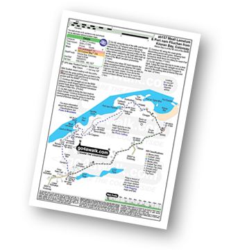
Walk ab157 Meall Lamalum and Port nam Fliuchan from Kiloran Bay, Isle of Colonsay

Wild scottish island walking with few paths

Download GPS Waypoint Data for walk ab157
Download GPX Waypoint Data for walk ab157
Download Map and Route Details for walk ab157

Vital Statistics:

Length:7.25 miles (11.5 km)
Ascent:1,175ft (358m)
Time:3.75hrs
Grade:Grade 4 Walking Moderate
Walk 5 Walking Bootprint Icon

Walk dg121 Rhinns of Kells from Galloway Forest Park

A classic

Download GPS Waypoint Data for walk dg121
Download GPX Waypoint Data for walk dg121
Download Map and Route Details for walk dg121

Vital Statistics:

Length:13 miles (22 km)
Ascent:3,823ft (1,165m)
Time:8 hrs
Grade:Grade 8 Walking Hard
Walk 6 Walking Bootprint Icon

Walk dg126 Cairnsmore of Carsphairn from Craigengillan

Fine views though the ground can be rough

Download GPS Waypoint Data for walk dg126
Download GPX Waypoint Data for walk dg126
Download Map and Route Details for walk dg126

Vital Statistics:

Length:9.75 miles (15.5 km)
Ascent:2,881ft (878m)
Time:6½ hrs
Grade:Grade 7 Walking Hard
Walk 7 Walking Bootprint Icon

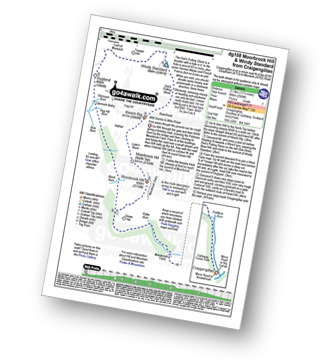
Walk dg108 Moorbrock Hill and Windy Standard from Craigengillan

Fine views though the ground can be rough

Download GPS Waypoint Data for walk dg108
Download GPX Waypoint Data for walk dg108
Download Map and Route Details for walk dg108

Vital Statistics:

Length:13.75 miles (22 km)
Ascent:3,206ft (977m)
Time:8.25hrs
Grade:Grade 8 Walking Hard
Walk 8 Walking Bootprint Icon

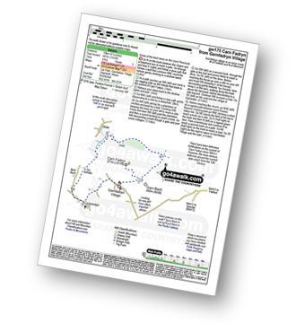
Walk gw175 Carn Fadryn from Garnfadryn Village

Some of the best views on the Lleyn Peninsula

Download GPS Waypoint Data for walk gw175
Download GPX Waypoint Data for walk gw175
Download Map and Route Details for walk gw175

Vital Statistics:

Length:6.25 miles (10 km)
Ascent:1,533ft (467m)
Time:4 hrs
Grade:Grade 5 Walking Moderate
Walk 9 Walking Bootprint Icon

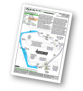
Walk c103 St Bees Head Lighthouse andd Sandwith from St Bees

The start of Wainwright's Coast to Coast path

Download GPS Waypoint Data for walk c103
Download GPX Waypoint Data for walk c103
Download Map and Route Details for walk c103

Vital Statistics:

Length:8.25 miles (13 km)
Ascent:1,549ft (472m)
Time:4½ hrs
Grade:Grade 5 Walking Moderate
Walk 10 Walking Bootprint Icon

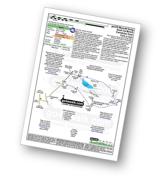
Walk gw238 Mynydd Graig Goch via Bwlch Cwmdulyn from Cors y Llyn

The UK's 'newest' mountain

Download GPS Waypoint Data for walk gw238
Download GPX Waypoint Data for walk gw238
Download Map and Route Details for walk gw238

Vital Statistics:

Length:4.5 miles (7 km)
Ascent:1,336ft (407m)
Time:3 hrs
Grade:Grade 4 Walking Moderate
Walk 11 Walking Bootprint Icon

Walk gw203 Craig Cwm Silyn, Garnedd-goch and Mynydd Graig Goch from Cors y Llyn

The UK's 'newest' Welsh mountain

Download GPS Waypoint Data for walk gw203
Download GPX Waypoint Data for walk gw203
Download Map and Route Details for walk gw203

Vital Statistics:

Length:7 miles (11.5 km)
Ascent:2,123ft (647m)
Time:4.75hrs
Grade:Grade 5 Walking Moderate
Walk 12 Walking Bootprint Icon

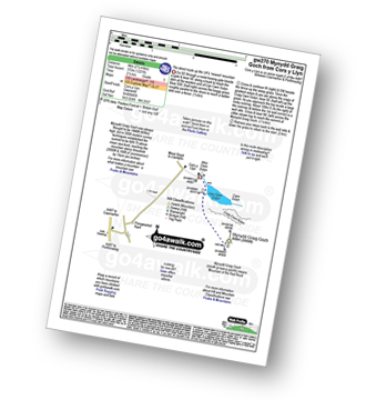
Walk gw270 Mynydd Graig Goch from Cors y Llyn

The direct route up the UK's 'newest' mountain

Download GPS Waypoint Data for walk gw270
Download GPX Waypoint Data for walk gw270
Download Map and Route Details for walk gw270

Vital Statistics:

Length:2.5 miles (4 km)
Ascent:1,221ft (372m)
Time:2.25hrs
Grade:Grade 3 Walking Easy
Walk 13 Walking Bootprint Icon

Walk gw126 Snowdon via The Llanberis Path

Long but straight forward route up Snowdon

Download GPS Waypoint Data for walk gw126
Download GPX Waypoint Data for walk gw126
Download Map and Route Details for walk gw126

Vital Statistics:

Length:9 miles (14.5 km)
Ascent:3,344ft (1,019m)
Time:6.75hrs
Grade:Grade 7 Walking Hard
Walk 14 Walking Bootprint Icon

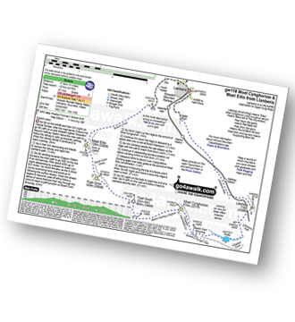
Walk gw118 Moel Cynghorion, Foel Gron and Moel Eilio from Llanberis

Superb views

Download GPS Waypoint Data for walk gw118
Download GPX Waypoint Data for walk gw118
Download Map and Route Details for walk gw118

Vital Statistics:

Length:11 miles (17.5 km)
Ascent:4,175ft (1,273m)
Time:8 hrs
Grade:Grade 7 Walking Hard
Walk 15 Walking Bootprint Icon

Walk gw158 Garnedd Ugain, Snowdon, Moel Cynghorion, Foel Gron and Moel Eilio from Llanberis

Testing hike over Snowdon & her sisters

Download GPS Waypoint Data for walk gw158
Download GPX Waypoint Data for walk gw158
Download Map and Route Details for walk gw158

Vital Statistics:

Length:13.25 miles (21 km)
Ascent:5,651ft (1,723m)
Time:10½ hrs
Grade:Grade 9 Walking Very Hard
Walk 16 Walking Bootprint Icon

Walk gw186 Garnedd Ugain, Snowdon (Yr Wyddfa) & Moel Cynghorion from Llanberis

For when climbing just Snowdon is not enough

Download GPS Waypoint Data for walk gw186
Download GPX Waypoint Data for walk gw186
Download Map and Route Details for walk gw186

Vital Statistics:

Length:11.5 miles (18.5 km)
Ascent:4,179ft (1,346m)
Time:8.75hrs
Grade:Grade 8 Walking Hard
Walk 17 Walking Bootprint Icon

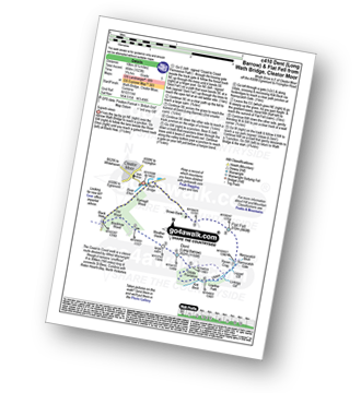
Walk c410 Dent (Long Barrow) and Flat Fell from Wath Bridge, Cleator Moor

Superb views

Download GPS Waypoint Data for walk c410
Download GPX Waypoint Data for walk c410
Download Map and Route Details for walk c410

Vital Statistics:

Length:6.25 miles (10 km)
Ascent:1,523ft (464m)
Time:3.75hrs
Grade:Grade 5 Walking Moderate
Walk 18 Walking Bootprint Icon

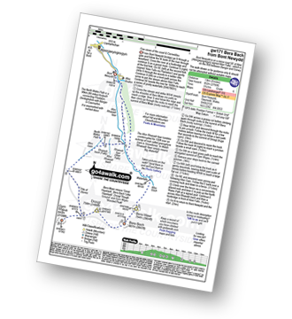
Walk gw171 Bera Bach from Bont Newydd

Fine views of the coast & Carneddau

Download GPS Waypoint Data for walk gw171
Download GPX Waypoint Data for walk gw171
Download Map and Route Details for walk gw171

Vital Statistics:

Length:8.25 miles (13 km)
Ascent:2,795ft (852m)
Time:5.75hrs
Grade:Grade 6 Walking Moderate
Walk 19 Walking Bootprint Icon

Walk gw193 Foel Fras from Bont Newydd

Fine views of the coast & Carneddau

Download GPS Waypoint Data for walk gw193
Download GPX Waypoint Data for walk gw193
Download Map and Route Details for walk gw193

Vital Statistics:

Length:9.75 miles (15.5 km)
Ascent:3,165ft (965m)
Time:6.75hrs
Grade:Grade 7 Walking Hard
Walk 20 Walking Bootprint Icon

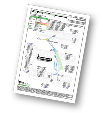
Walk gw101 Aber Falls (Rhaeadr-fawr) from Bont Newydd

Easy stroll to a stunning waterfall

Download GPS Waypoint Data for walk gw101
Download GPX Waypoint Data for walk gw101
Download Map and Route Details for walk gw101

Vital Statistics:

Length:3 miles (5 km)
Ascent:459ft (140m)
Time:1½ hrs
Grade:Grade 2 Walking Easy
Walk 21 Walking Bootprint Icon

Walk gw183 Bera Bach, Foel Grach and Drum (Carneddau) from Bont Newydd

Fine views of the coast and the Carneddau

Download GPS Waypoint Data for walk gw183
Download GPX Waypoint Data for walk gw183
Download Map and Route Details for walk gw183

Vital Statistics:

Length:14.75 miles (23.5 km)
Ascent:3,890ft (1,186m)
Time:9.25hrs
Grade:Grade 8 Walking Hard
Walk 22 Walking Bootprint Icon

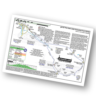
Walk gw122 The Cwm Llafar Horseshoe

Superb ridge walk

Download GPS Waypoint Data for walk gw122
Download GPX Waypoint Data for walk gw122
Download Map and Route Details for walk gw122

Vital Statistics:

Length:9 miles (14.5 km)
Ascent:3,660ft (1,116m)
Time:7 hrs
Grade:Grade 7 Walking Hard
Walk 23 Walking Bootprint Icon

Walk gw181 Y Lon Goed from Chwilog

Easy country walking on an ancient pathway

Download GPS Waypoint Data for walk gw181
Download GPX Waypoint Data for walk gw181
Download Map and Route Details for walk gw181

Vital Statistics:

Length:4 miles (6.5 km)
Ascent:177ft (54m)
Time:1.75hrs
Grade:Grade 1 Walking Easy
Walk 24 Walking Bootprint Icon

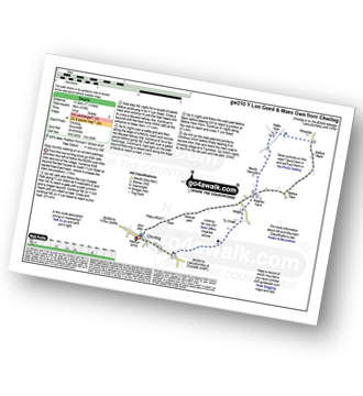
Walk gw210 Y Lon Goed and Maes Gwn from Chwilog

Easy country walking on an ancient pathway

Download GPS Waypoint Data for walk gw210
Download GPX Waypoint Data for walk gw210
Download Map and Route Details for walk gw210

Vital Statistics:

Length:7.25 miles (11.5 km)
Ascent:315ft (96m)
Time:3 hrs
Grade:Grade 2 Walking Easy
Walk 25 Walking Bootprint Icon

Walk gw110 Snowdon via The Snowdon Ranger Path

Probably the easiest way to climb Snowdon

Download GPS Waypoint Data for walk gw110
Download GPX Waypoint Data for walk gw110
Download Map and Route Details for walk gw110

Vital Statistics:

Length:7.75 miles (12.5 km)
Ascent:3,200ft (975m)
Time:6.25hrs
Grade:Grade 6 Walking Moderate
Walk 26 Walking Bootprint Icon

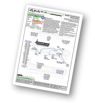
Walk gw246 Foel-ganol and Yr Orsedd from Hafod-y-gelyn

Magnificent short ridge walk

Download GPS Waypoint Data for walk gw246
Download GPX Waypoint Data for walk gw246
Download Map and Route Details for walk gw246

Vital Statistics:

Length:6 miles (9.5 km)
Ascent:1,621ft (494m)
Time:4 hrs
Grade:Grade 5 Walking Moderate
Walk 27 Walking Bootprint Icon

Walk c403 Lank Rigg and Whoap from Friar Well

Quiet and lonely - marvellous

Download GPS Waypoint Data for walk c403
Download GPX Waypoint Data for walk c403
Download Map and Route Details for walk c403

Vital Statistics:

Length:8.75 miles (14 km)
Ascent:1,854ft (565m)
Time:5 hrs
Grade:Grade 6 Walking Moderate
Walk 28 Walking Bootprint Icon

Walk gw194 Y Garn (Glyderau), Foel-goch, Mynydd Perfedd, Carnedd y Filiast (Glyderau) and Elidir Fawr from Nant Peris

High level walk with superb mountain views

Download GPS Waypoint Data for walk gw194
Download GPX Waypoint Data for walk gw194
Download Map and Route Details for walk gw194

Vital Statistics:

Length:10.75 miles (17 km)
Ascent:4,699ft (1,432m)
Time:8½ hrs
Grade:Grade 8 Walking Hard
Walk 29 Walking Bootprint Icon

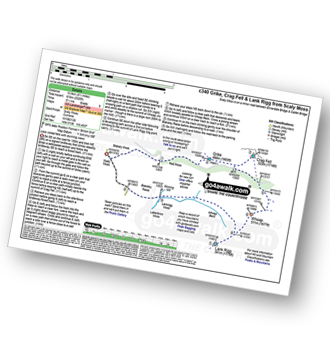
Walk c340 Grike, Crag Fell and Lank Rigg from Scaly Moss

Less visited fells with stunning views

Download GPS Waypoint Data for walk c340
Download GPX Waypoint Data for walk c340
Download Map and Route Details for walk c340

Vital Statistics:

Length:7.75 miles (12.5 km)
Ascent:2,028ft (618m)
Time:5½ hrs
Grade:Grade 6 Walking Moderate
Walk 30 Walking Bootprint Icon

Walk gw201 The Nantlle Ridge from Rhyd-Ddu

Classic Welsh Ridge Walk

Download GPS Waypoint Data for walk gw201
Download GPX Waypoint Data for walk gw201
Download Map and Route Details for walk gw201

Vital Statistics:

Length:9.5 miles (15.5 km)
Ascent:4,017ft (1,224m)
Time:7.75hrs
Grade:Grade 7 Walking Hard

Do not miss our pick of the Best Walks in the UK


Follow go4awalk.com on Twitter Follow go4awalk.com on Facebook