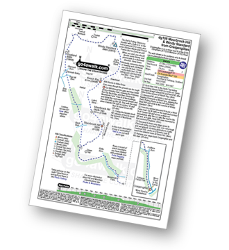
Route outline for walk dg108:
Craigengillan - Craigengillan Bridge - Galloway Forest Park - Polifferie Burn - Poldores Burn - Tup Knowe - Soms Knowe - Scar Knowe - Moorbrock Farm - Poltie Burn - Green Hill (Moorbrock) - Moorbrock Hill - Moorbrock Hill (North Top) - Luke's Stone - Keoch Rig - Deil's Putting Stone - Chapman's Cleugh - Windy Standard - Trostan Hill - Dugland - Clennoch Bothy - Green Hill (Moorbrock) - Craigengillan
Points of Interest/Notes on this walk:
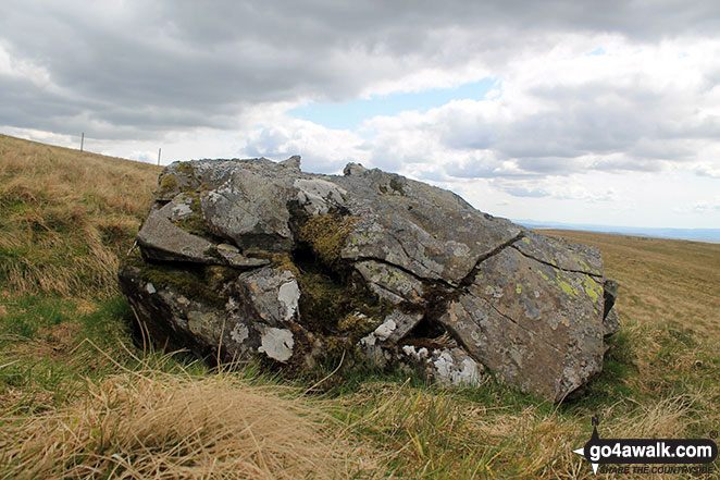
Note: The Deil's Putting Stone is a boulder with a hole in it. In the hole is around £2 in coins, plus some German Marks and French Francs (but no Euros as yet). When you visit, you should donate some money & promenade in a clockwise direction, 3 times. Obviously, removing money or heading anti-clockwise can only be bad. I mean really really bad. I'm not talking just a bit bad here, but BAD. Y'see. BAD! So don't do it. UPDATE: When I visited it again, the top of the stone had (been) broken off! (this is VERY BAD!!)
Peaks, Summits and Tops reached on this walk:
 0 Munros |
 0 Corbetts |
 1 Graham |
 0 Murdos |
 2 Donalds |
 1 Scottish Marilyn |
 0 Bridgets |
Peak Bagging Statistics for this walk:
The highest point of this walk is Windy Standard at 698m (2291ft). Windy Standard is classified as a Graham (No. 107). Windy Standard is also classified as a Donald (No. 31) and a Scottish Marilyn (534th highest in Scotland, 602nd highest in the UK). The summit of Windy Standard is marked by an Ordnance Survey Trig Point.
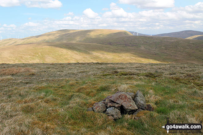
Completing this walk will also take you to the top of Moorbrock Hill at 650m (2133ft). Moorbrock Hill is classified as a Donald (No. 65). The summit of Moorbrock Hill is marked by a rock.
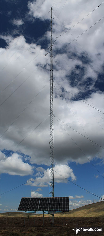
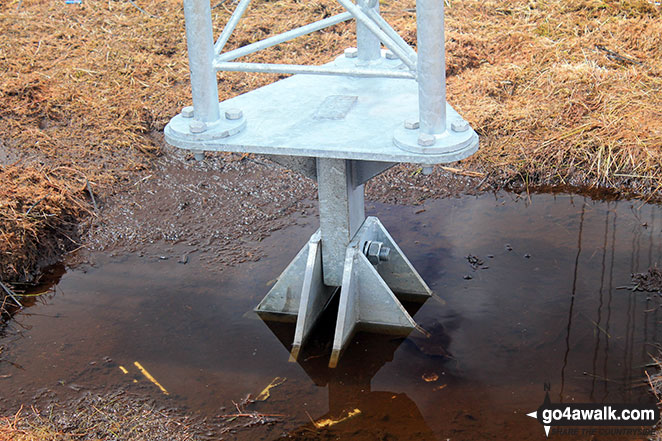
You will also reach the summit of Keoch Rig at 611m (2005ft). Keoch Rig is Unclassified The summit of Keoch Rig is marked by a huge telecommunications mast.
Along the way you will also bag:
- Keoch Rig at 611m (2005ft). Keoch Rig is Unclassified The summit of Keoch Rig is marked by a huge telecommunications mast.
- Dugland at 608m (1995ft). Dugland is Unclassified
You can find this walk and other nearby walks on these unique free-to-access Interactive Walk Planning Maps:
1:25,000 scale OS Explorer Map (orange/yellow covers):
1:50,000 scale OS Landranger Map (pink/magenta covers):
Some Photos and Pictures from Walk dg108 Moorbrock Hill and Windy Standard from Craigengillan
In no particular order . . .

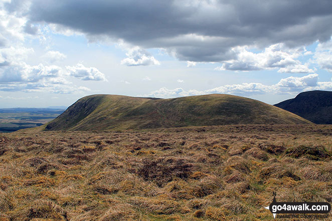
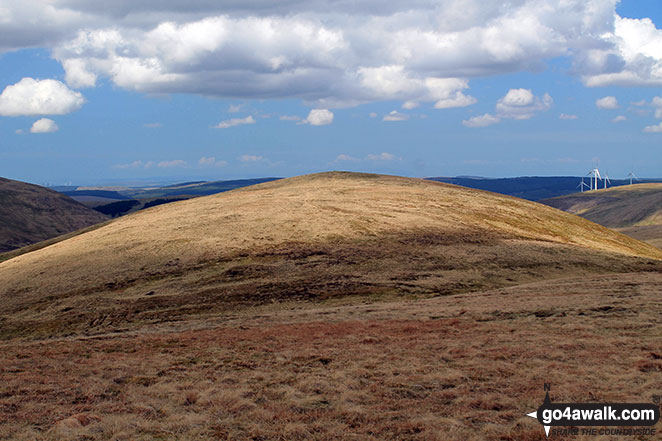
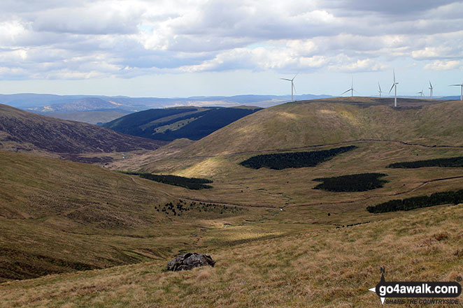
Keoch Rig, Moorbrock Hill, Beninner and Cairnsmore of Carsphairn from Dugland
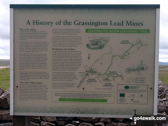
Information Board detailing the history of the Grassington Lead Mines at Yarnbury
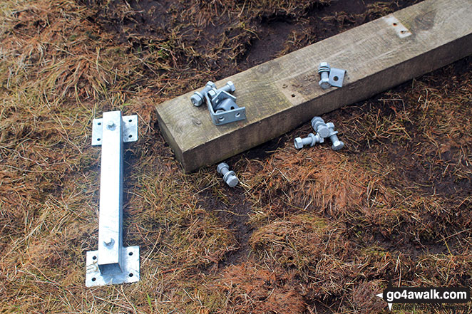
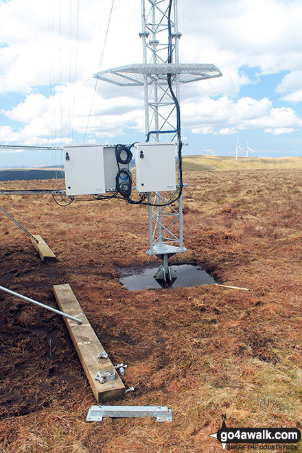
A few bits left over after erecting the telecommunications mast on Keoch Rig
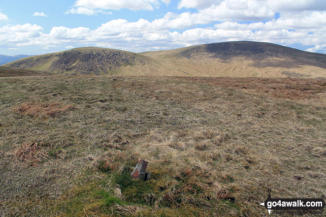
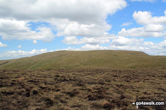
Moorbrock Hill summit with Keoch Rig (left) and Windy Standard (right) in the background
. . . load all 26 walk photos from Walk dg108 Moorbrock Hill and Windy Standard from Craigengillan
Send us your photographs and pictures from your walks and hikes
We would love to see your photographs and pictures from walk dg108 Moorbrock Hill and Windy Standard from Craigengillan. Send them in to us as email attachments (configured for any computer) along with your name and where the picture was taken to:
and we shall do our best to publish them.
(Guide Resolution = 300dpi. At least = 660 pixels (wide) x 440 pixels (high).)
You can also submit photos from walk dg108 Moorbrock Hill and Windy Standard from Craigengillan via our Facebook Page.
NB. Please indicate where each photo was taken.

