|
Vital Statistics:
| Length: | 9¾mls (15.5km) |
| Ascent: | 2,881ft (878m) |
| Time: | 6½hrs |
| Grade: |  |
Route outline for walk dg126:
Craigengillan - Craigengillan Bridge - Galloway Forest Park - Polifferie Burn - Poldores Burn - Tup Knowe - Soms Knowe - Scar Knowe - Moorbrock Farm - Poltie Burn - Green Hill (Moorbrock) - Poldores Burn - Beninne Gairy - Beninner - Nick of The Lochans - Cairnsmore of Carsphairn - Green Hill (Moorbrock) - Craigengillan
Peaks, Summits and Tops reached on this walk:
 0 Munros |
 1 Corbett |
 0 Grahams |
 0 Murdos |
 1 Donald |
 1 Scottish Marilyn |
 0 Bridgets |
Peak Bagging Statistics for this walk:
The highest point of this walk is Cairnsmore of Carsphairn at 797m (2615ft). Cairnsmore of Carsphairn is classified as a Corbett (No. 164). Cairnsmore of Carsphairn is also classified as a Donald (No. 10) and a Scottish Marilyn (367th highest in Scotland, 399th highest in the UK). The summit of Cairnsmore of Carsphairn is marked by an Ordnance Survey Trig Point.
Completing this walk will also take you to the top of Beninner at 710m (2330ft). Beninner is Unclassified
You can find this walk and other nearby walks on these unique free-to-access Interactive Walk Planning Maps:
1:25,000 scale OS Explorer Map (orange/yellow covers):
1:50,000 scale OS Landranger Map (pink/magenta covers):
Some Photos and Pictures from Walk dg126 Cairnsmore of Carsphairn from Craigengillan
In no particular order . . .
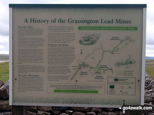
Information Board detailing the history of the Grassington Lead Mines at Yarnbury
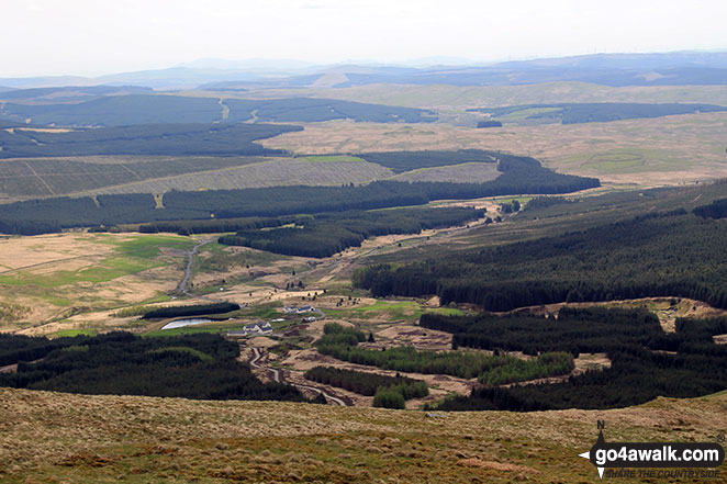
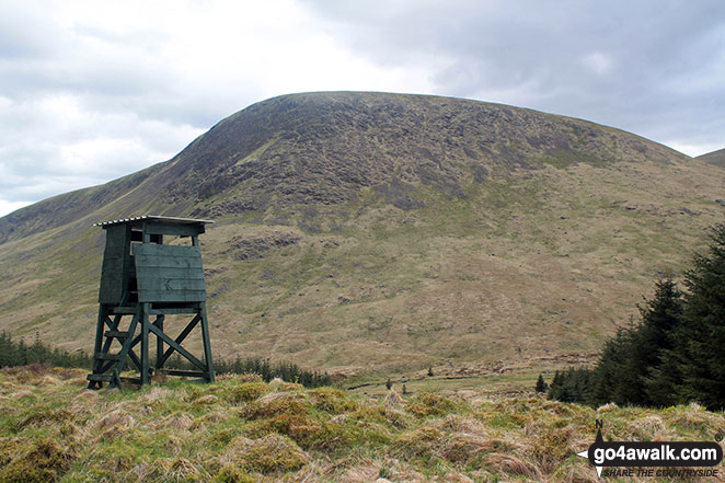
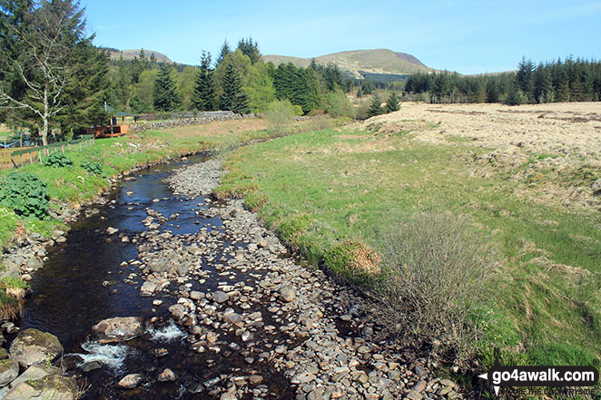
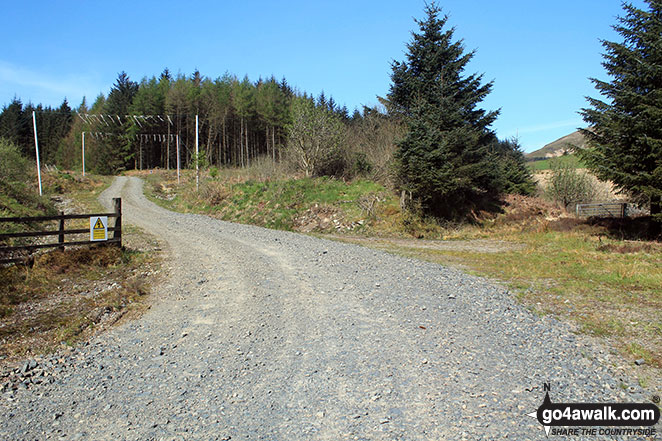
Polifferie Burn from Craigengillan Bridge with Moorbrock Hill in the distance
Send us your photographs and pictures from your walks and hikes
We would love to see your photographs and pictures from walk dg126 Cairnsmore of Carsphairn from Craigengillan. Send them in to us as email attachments (configured for any computer) along with your name and where the picture was taken to:
and we shall do our best to publish them.
(Guide Resolution = 300dpi. At least = 660 pixels (wide) x 440 pixels (high).)

You can also submit photos from walk dg126 Cairnsmore of Carsphairn from Craigengillan via our Facebook Page.
NB. Please indicate where each photo was taken.