Snowdon (Yr Wyddfa)
1085m (3561ft)
The Snowdon Area, Snowdonia, Gwynedd, Wales
Snowdon (Yr Wyddfa) is the highest point in the county of Gwynedd, the highest point in Snowdonia National Park and the highest point in England and Wales.
Snowdon (Yr Wyddfa) means 'The Burial Place' in Welsh and is pronounced 'ur-oo-ith-va'.
The summit of Snowdon (Yr Wyddfa) is marked by an Ordnance Survey Trig Point.


Not familiar with this top?
You can walk/hike to the top of Snowdon (Yr Wyddfa) by using any of these 12 easy‑to‑follow route maps:

Walk gw100 Mount Snowdon (Yr Wyddfa) from Pen-y-Pass
The easiest way up Mount Snowdon
   |
|---|
Vital Statistics:
| Length: | 6.5ml (10.5km) |
|---|---|
| Ascent: | 2,938ft (895m) |
| Time: | 5½ hrs |
| Grade: |  (Moderate) (Moderate) |

Route Summary:
Pen-y-Pass - Pyg Track - Bwlch y Moch - Miners' Track - Snowdon Mountain Railway - Snowdon (Yr Wyddfa) - Miners' Track - Pyg Track - Bwlch y Moch - Pen-y-Pass


Walk gw198 The Welsh 3000's (Snowdon Area) from Pen-y-Pass
A classic horseshoe walk - but Crib Goch is not for the faint hearted!
|
|---|
Vital Statistics:
| Length: | 7ml (11km) |
|---|---|
| Ascent: | 3,805ft (1,160m) |
| Time: | 6.25hrs |
| Grade: | (Moderate) |

Route Summary:
Pen-y-Pass - Pyg Track - Bwlch y Moch - Craig Fach - Crib Goch - Garnedd Ugain (Crib y Ddysgl) - Snowdon Mountain Railway - Snowdon (Yr Wyddfa) - The Scree Path - Bwlch y Saethau - Bwlch Ciliau - Y Lliwedd - Y Lliwedd (East Top) - Lliwedd Bach - Miners' Track - Pen-y-Pass

Walk gw134 Mount Snowdon (Yr Wyddfa) avoiding Crib Goch from Pen-y-Pass
The shortest way up Wales' highest
|
|---|
Vital Statistics:
| Length: | 7.5ml (12km) |
|---|---|
| Ascent: | 3,034ft (925m) |
| Time: | 6 hrs |
| Grade: | (Moderate) |

Route Summary:
Pen-y-Pass - Pyg Track - Bwlch y Moch - Craig Fach - Miners' Track - Snowdon Mountain Railway - Snowdon (Yr Wyddfa) - Miners' Track - Glaslyn - Llyn Llydaw - Pen-y-Pass

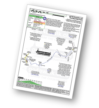
Walk gw140 Snowdon via The Rhyd-Ddu Path
An alternative route up Wales' highest
|
|---|
Vital Statistics:
| Length: | 8ml (12km) |
|---|---|
| Ascent: | 3,131ft (954m) |
| Time: | 7.75hrs |
| Grade: | (Moderate) |
Route Summary:
Rhyd-Ddu - The Rhyd-Ddu Path - Pen Ar Lon - Bwlch Main - Snowdon (Yr Wyddfa) - Bwlch Main - Llechog (Rhydd Ddu Path) - Pen Ar Lon - The Rhyd-Ddu Path - Rhyd-Ddu,.

Walk gw110 Snowdon via The Snowdon Ranger Path
Probably the easiest way to climb Snowdon
|
|---|
Vital Statistics:
| Length: | 7.75ml (12.5km) |
|---|---|
| Ascent: | 3,200ft (975m) |
| Time: | 6.25hrs |
| Grade: | (Moderate) |

Route Summary:
Snowdon Ranger Car Park - Snowdon Ranger Railway Station - Llwyn Onn - Maen Bras - Snowdon Ranger Path - Bwlch Cwm Brwynog - Clogwyn Du'r Arddu - Snowdon Mountain Railway - Snowdon (Yr Wyddfa) - Snowdon Ranger Path - Snowdon Ranger Car Park

Walk gw136 The Snowdon (Yr Wyddfa) Horseshoe from Pen-y-Pass
A classic - but Crib Goch is not for the faint hearted!
|
|---|
Vital Statistics:
| Length: | 7.5ml (12km) |
|---|---|
| Ascent: | 4,100ft (1,250m) |
| Time: | 6½ hrs |
| Grade: |  (Hard) (Hard) |

Route Summary:
Pen-y-Pass - Pyg Track - Bwlch y Moch - Craig Fach - Crib Goch - Garnedd Ugain (Crib y Ddysgl) - Snowdon Mountain Railway - Snowdon (Yr Wyddfa) - The Scree Path - Bwlch y Saethau - Bwlch Ciliau - Y Lliwedd - Y Lliwedd (East Top) - Lliwedd Bach - Gallt y Wenallt - Afon Glaslyn - Miners' Track - Pen-y-Pass

Walk gw105 Snowdon via The Watkin Path from Nantgwynant
Snowdon via The Watkin Path
|
|---|
Vital Statistics:
| Length: | 7.75ml (12.5km) |
|---|---|
| Ascent: | 3,682ft (1,122m) |
| Time: | 6½ hrs |
| Grade: | (Hard) |

Route Summary:
Nantgwynant - Bethania - Castell - Gladstone Rock - The Watkin Path - Bwlch Ciliau - Bwlch y Saethau - The Scree Path - Snowdon (Yr Wyddfa) - The Scree Path - Bwlch y Saethau - Bwlch Ciliau - The Watkin Path - Gladstone Rock - Castell - Bethania - Nantgwynant

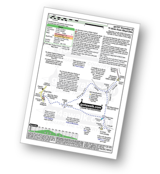
Walk gw107 Snowdon and Yr Aran from Rhyd-Ddu
An alternative route up Wales' highest
|
|---|
Vital Statistics:
| Length: | 9ml (14.5km) |
|---|---|
| Ascent: | 3,982ft (1,214m) |
| Time: | 7½ hrs |
| Grade: | (Hard) |
Route Summary:
Rhyd-Ddu - Rhyd-Ddu Path - Pen Ar Lon - Bwlch Main - Snowdon (Yr Wyddfa) - Allt Maenderyn - Bwlch Cwm Llan - Yr Aran - Pen Ar Lon - Rhyd-Ddu

Walk gw117 Snowdon and Yr Aran via The Watkin Path from Bathania, Nantgwynant
The longest but prettiest route up Snowdon
|
|---|
Vital Statistics:
| Length: | 9.5ml (14.5km) |
|---|---|
| Ascent: | 4,517ft (1,377m) |
| Time: | 8 hrs |
| Grade: | (Hard) |

Route Summary:
Nantgwynant - Bethania - Castell - Gladstone Rock - The Watkin Path - Bwlch Ciliau - Bwlch y Saethau - The Scree Path - Snowdon (Yr Wyddfa) - Rydd Ddu Path - Clogwyn Du - Allt Maenderyn - Yr Aran - Clogwyn Birth - Nantgwynant

Walk gw126 Snowdon via The Llanberis Path
Long but straight forward route up Snowdon
|
|---|
Vital Statistics:
| Length: | 9ml (14.5km) |
|---|---|
| Ascent: | 3,344ft (1,019m) |
| Time: | 6.75hrs |
| Grade: | (Hard) |

Route Summary:
Snowdon Mountain Railway Llanberis Station - Cader Ellyll - Llanberis Path - Halfway Station - Clogwyn Station - Bwlch Glas - Snowdon (Yr Wyddfa) - Bwlch Glas - Clogwyn Station - Halfway Station - Llanberis Path - Cader Ellyll - Llanberis.

Walk gw186 Garnedd Ugain, Snowdon (Yr Wyddfa) & Moel Cynghorion from Llanberis
For when climbing just Snowdon is not enough
|
|---|
Vital Statistics:
| Length: | 11.5ml (18.5km) |
|---|---|
| Ascent: | 4,179ft (1,346m) |
| Time: | 8.75hrs |
| Grade: |  (Hard) (Hard) |

Route Summary:
Snowdon Mountain Railway Llanberis Station - Cader Ellyll - Llanberis Path - Halfway Station - Llechog (Llanberis Path) - Clogwyn Station - Garnedd Ugain (Crib y Ddysgl) - Bwlch Glas - Snowdon (Yr Wyddfa) - Clogwyn Du'r Arddu Path - Snowdon Ranger Path - Moel Cynghorion - Bwlch Maesgwm - Llanberis.

Walk gw158 Garnedd Ugain, Snowdon, Moel Cynghorion, Foel Gron and Moel Eilio from Llanberis
Testing hike over Snowdon & her sisters
|
|---|
Vital Statistics:
| Length: | 13.25ml (21km) |
|---|---|
| Ascent: | 5,651ft (1,723m) |
| Time: | 10½ hrs |
| Grade: |  (Very Hard) (Very Hard) |

Route Summary:
Snowdon Mountain Railway Llanberis Station - Cader Ellyll - Llanberis Path - Halfway Station - Llechog (Llanberis Path) - Clogwyn Station - Garnedd Ugain (Crib y Ddysgl) - Bwlch Glas - Snowdon (Yr Wyddfa) - Clogwyn Du'r Arddu Path - Snowdon Ranger Path - Moel Cynghorion - Bwlch Maesgwm - Foel Goch (Snowdon) - Foel Gron - Moel Eilio (Llanberis) - Llanberis.
See Snowdon (Yr Wyddfa) and the surrounding tops on our free-to-access 'Google Style' Peak Bagging Maps:

The Snowdon Area of Snowdonia National Park
Less data - quicker to download
The Whole of Snowdonia National Park
More data - might take a little longer to download
See Snowdon (Yr Wyddfa) and the surrounding tops on our unique, downloadable, PDF Peak Bagging Map:

NB: Whether you print off a copy or download it to your phone, this PDF Peak Baggers' Map might prove incredibly useful when your are up there on the tops and you cannot get a phone signal.
You can find Snowdon (Yr Wyddfa) & all the walks that climb it on these unique free-to-access Interactive Walk Planning Maps:
1:25,000 scale OS Explorer Map (orange/yellow covers):
1:50,000 scale OS Landranger Map (pink/magenta covers):
 Fellow go4awalkers who have already walked, climbed, scaled, summited, hiked & bagged Snowdon (Yr Wyddfa)
Sarah Culverhouse walked up Snowdon (Yr Wyddfa) on July 18th, 2024 [weather] glorious sunshine
Iain Jones climbed it on April 3rd, 2010 [from/via/route] Llanberris [with] Ben's Stag Do - 12 August 2012 - walked from Llanberris as part of National Three Peaks Challenge; 17 January 2016 - walked from Pen y Pass via Pyg Track/Miners Track; 1 April 2017 - walked from Nant Gywnant via Watkin Path; 6 October 2021 - Trail Run from Pen y Pass to Llanberis via Miners Track & Llanberis Path; 7 March 2025 - walked via Snowdon Ranger Path
Hazel Gilbert bagged it on August 13th, 1989 [with] Lawrence Laura Abigail [weather] Sunny
David Peebles hiked Snowdon (Yr Wyddfa) on February 27th, 2023 [from/via/route] Pen-y-pass Carpark [with] Solo [weather] Poor Weather. Cold at top.
Darren Mortimer summited on August 17th, 2023 [from/via/route] gw110 via the Ranger path [with] Son,Daughter in law and grandkids [weather] Warm & sunny. - I have been told by many this is the easy way up. Not too bothered seeing as im getting on in years.
To add (or remove) your name and experiences on this page - Log On and edit your Personal Mountain Bagging Record
. . . [see more walk reports]
More Photographs & Pictures of views from, on, or of, Snowdon (Yr Wyddfa)
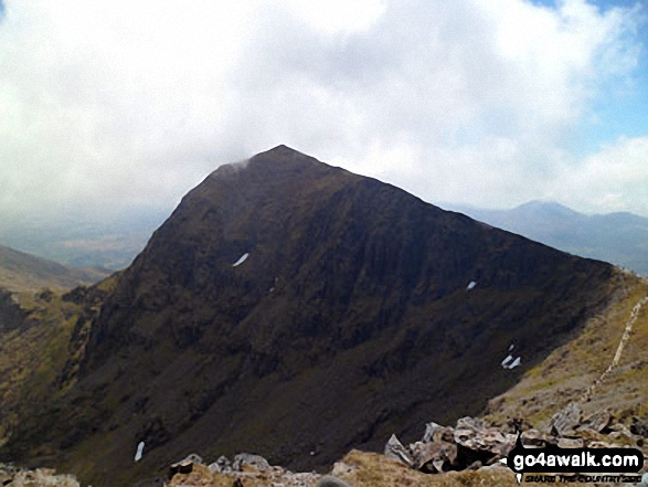

Craig Fach, Llyn Llydaw (top) and Glaslyn (bottom) from Snowdon (Yr Wyddfa)
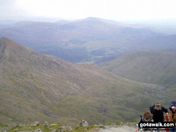
The Watkin Path, Nantgwynant and Cnicht on the horizon from the summit of Snowdon (Yr Wyddfa)
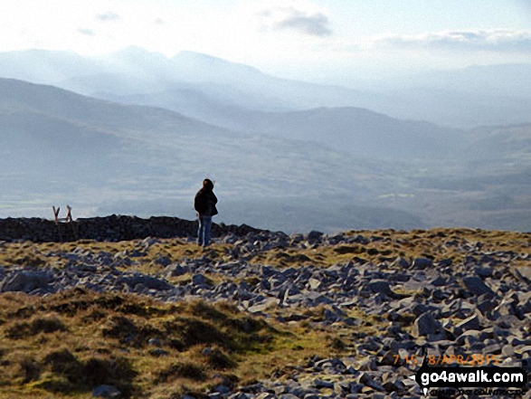
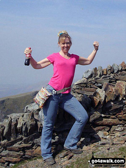
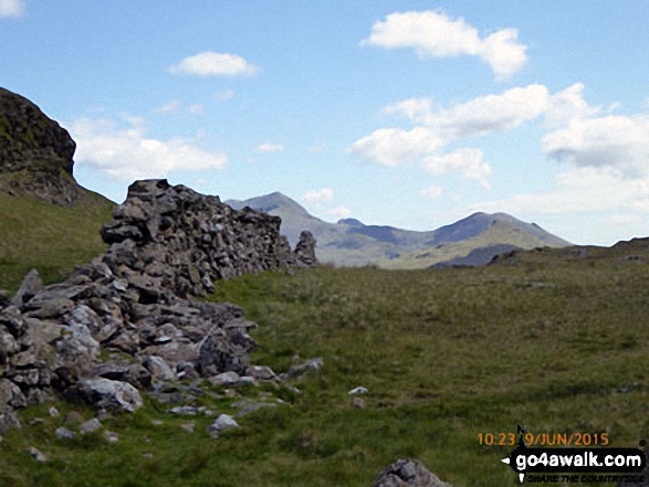
On the summit of Y Garn (Moel Hebog) with the Snowdon (Yr Wyddfa) group in the background
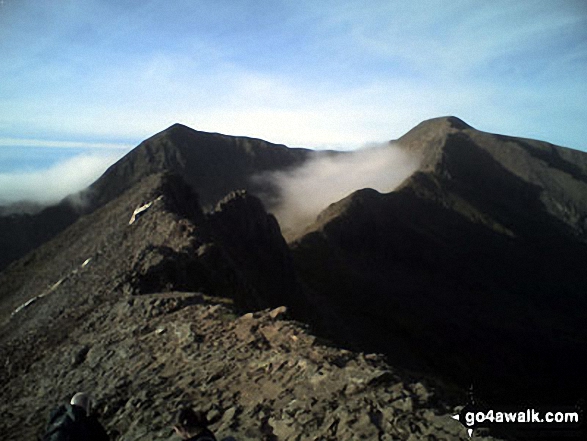
Crib Goch in all its glory with Garnedd Ugain (Crib y Ddysgl) (right) and Snowdon (Yr Wyddfa) (left) beyond from the start of Crib Goch

Crib Goch from Llechog (Llanberis Path) on the way up Snowdon (Yr Wyddfa)

Snowdon (Yr Wyddfa) (left), Yr Aran and Carnedd Moel Siabod (right) from the summit of Moel Lefn
. . . see all 210 walk photographs & pictures of views from, on, or of, Snowdon (Yr Wyddfa)
Send us your photographs and pictures on, of, or from Snowdon (Yr Wyddfa)
If you would like to add your walk photographs and pictures to this page, please send them as email attachments (configured for any computer) along with your name to:
and we shall do our best to publish them.
(Guide Resolution = 300dpi. At least = 660pixels (wide) x 440 pixels (high).)

You can also submit photos via our Facebook Page.
NB. Please indicate where each photo was taken and whether you wish us to credit your photos with a Username or your First Name/Last Name.