
![]()
Grike
488m (1602ft)
The Western Fells, The Lake District, Cumbria, England
Not familiar with this top?
You can walk/hike to the top of Grike by using any of these 3 easy‑to‑follow route maps:
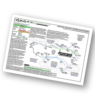
Walk c340 Grike, Crag Fell and Lank Rigg from Scaly Moss
Less visited fells with stunning views
   |
|---|
Vital Statistics:
| Length: | 7.75mls (12.5km) |
|---|---|
| Ascent: | 2,028ft (618m) |
| Time: | 5½ hrs |
| Grade: |  (Moderate) (Moderate) |
Route Summary:
Scaly Moss - Blackely Moss - Heckbarley Wood - Red Moss - Grike - Crag Fell - Black Pots - Whoap - Lank Rigg - Whoap Beck - Lankrigg Moss - Stinking Gill - Blackeley Raise - Whorl Gill - Scaly Moss
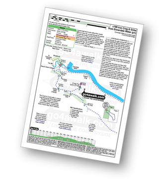
Walk c199 Iron Crag and Grike from Ennerdale Water
Superb high level route away from the crowds
|
|---|
Vital Statistics:
| Length: | 11.75ml (19km) |
|---|---|
| Ascent: | 2,970ft (905m) |
| Time: | 7½ hrs |
| Grade: |  (Hard) (Hard) |
Route Summary:
Ennerdale Weir - Ennerdale Water - Silver Cove Beck - Woundell Beck - Caw Fell - Silver Cove - Iron Crag - Crag Fell - Grike - Ennerdale Weir
Walk c267 Haycock, Iron Crag, Lank Rigg and Grike from Ennerdale Water
Excellent high level well away from the crowds
|
|---|
Vital Statistics:
| Length: | 15.25ml (24.5km) |
|---|---|
| Ascent: | 4,125ft (1,257m) |
| Time: | 9.75hrs |
| Grade: |  (Very Hard) (Very Hard) |

Route Summary:
Ennerdale Weir - Ennerdale Water - Silver Cove Beck - Woundell Beck - Little Gowder Crag - Haycock - Caw Fell - Silver Cove - Iron Crag - Whoap - Lank Rigg - Crag Fell - Grike - Ennerdale Weir
See Grike and the surrounding tops on our free-to-access 'Google Style' Peak Bagging Maps:
The Western Fells of The Lake District National Park
Less data - quicker to download
The Whole of The Lake District National Park
More data - might take a little longer to download
See Grike and the surrounding tops on our unique, downloadable, PDF Peak Bagging Maps:

NB: Whether you print off a copy or download it to your phone, these PDF Peak Baggers' Maps might prove incredibly useful when your are up there on the tops and you cannot get a phone signal.
*This version is marked with the walk routes you need to follow to Walk all 214 Wainwrights in just 59 walks.
You can find Grike & all the walks that climb it on these unique free-to-access Interactive Walk Planning Maps:
1:25,000 scale OS Explorer Map (orange/yellow covers):
1:50,000 scale OS Landranger Map (pink/magenta covers):
 Fellow go4awalkers who have already walked, climbed, scaled, summited, hiked & bagged Grike
Geoff Hand walked up Grike on July 1st, 2025 [from/via/route] Walked from Scaly Moss to Grike, then onto Crag Fell, over Whoap & onto Lank Rigg. Back to the car by Whoap beck to Blakeley raise. [with] none [weather] Started off Sunny then cloud, mist & light rain caught me up at Crag Fell - When I got back to my car, the key fob wouldn't work. Eventually it worked & I had to high tail it to Workington to get a new barrey installed in the key.
Neil Heywood climbed it on September 10th, 2014 [with] Logan Heywood Mike Hills
Ian Ashton bagged it on August 11th, 2024 [with] Solo - Ì
Christine Shepherd hiked Grike on August 13th, 2010 [from/via/route] walked from Scaly Moss using walk c340 Climbed again on 31.8.20 using the same walk. Climbed for a third time on 28.4.24 did the same walk but added on Caw Fell [with] On my own [weather] Damp but clear - My first two rounds were solo my third was with Louise who worked out a way to add caw fell to the round.
Pete George summited on March 31st, 2024 [from/via/route] Scaly Moss, Enerdale [with] Roco [weather] Warm spring day
To add (or remove) your name and experiences on this page - Log On and edit your Personal Mountain Bagging Record
. . . [see more walk reports]
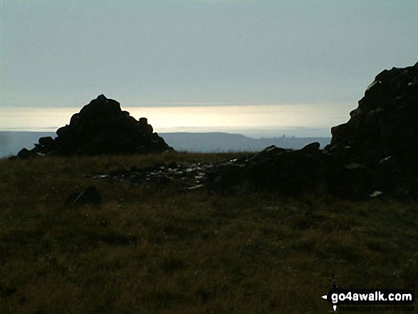
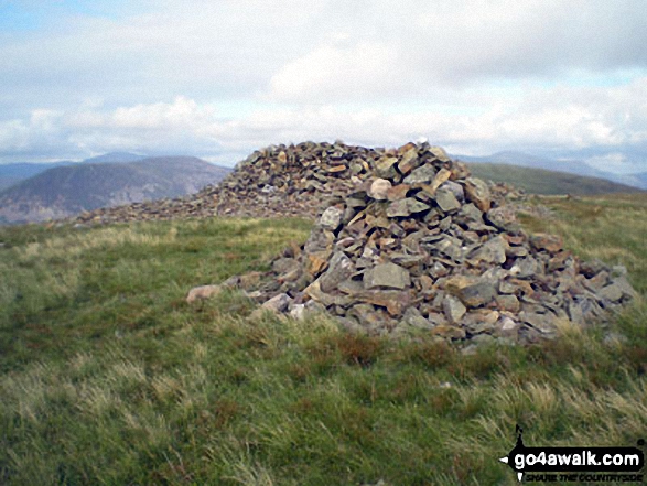
More Photographs & Pictures of views from, on, or of, Grike

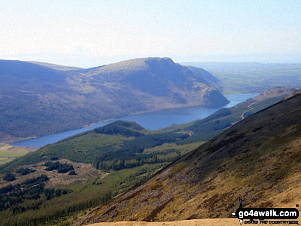
Iron Crag, Whoap, Crag Fell and Grike tower over Ennerdale Water from the summit of Red Pike (Buttermere)
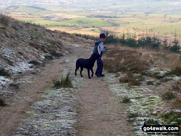
My youngest son and youngest dog on their way up Grike near Ennerdale Water
Send us your photographs and pictures on, of, or from Grike
If you would like to add your walk photographs and pictures to this page, please send them as email attachments (configured for any computer) along with your name to:
and we shall do our best to publish them.
(Guide Resolution = 300dpi. At least = 660pixels (wide) x 440 pixels (high).)

You can also submit photos via our Facebook Page.
NB. Please indicate where each photo was taken and whether you wish us to credit your photos with a Username or your First Name/Last Name.


