Bannau Brycheiniog (The Brecon Beacons National Park) - a fully detailed list of all the Mountains, Peaks, Tops and Hills (Page 1 of 2)
Bannau Brycheiniog (The Brecon Beacons National Park) is located in South Wales covering part of the counties of Blaenau Gwent, Caerphilly, Carmarthenshire, Merthyr Tydfil, Monmouthshire, Powys, Rhondda Cynon Taf and Torfaen.
If you count only the Nuttalls there are 34 tops to climb, bag & conquer and the highest point is Pen y Fan at 886m (2,907ft).
To see these Mountains, Peaks, Tops and Hills displayed in different ways - see the options in the left-hand column and towards the bottom of this page.
LOG ON and RELOAD this page to show which Mountains, Peaks, Tops and Hills you have already climbed, bagged & conquered [. . . more details]
Page 1 of 2 Go to page: 1 2 |
See this list in: Alphabetical Order
| Height Order‡
To reverse the order select the link again.
Mountain, Peak, Top or Hill:
Bagged
1. Pen y Fan
886m (2,907ft)
See the location of Pen y Fan and walks up it on a google Map Pen y Fan is on interactive maps:
Pen y Fan is on downloadable PDF you can Print or Save to your Phone: |
2. Corn Du
871m (2,859ft)
See the location of Corn Du and walks up it on a google Map Corn Du is on interactive maps:
Corn Du is on downloadable PDF you can Print or Save to your Phone: |
3. Craig Gwaun Taf (Bwlch Duwynt)
826m (2,710ft)
See the location of Craig Gwaun Taf (Bwlch Duwynt) and walks up it on a google Map Craig Gwaun Taf (Bwlch Duwynt) is on interactive maps:
Craig Gwaun Taf (Bwlch Duwynt) is on downloadable PDF you can Print or Save to your Phone: |
4. Waun Fach
811m (2,662ft)
See the location of Waun Fach and walks up it on a google Map Waun Fach is on interactive maps:
Waun Fach is on downloadable PDF you can Print or Save to your Phone: |
5. Fan Brycheiniog (Twr y Fan Foel)
802m (2,632ft)
See the location of Fan Brycheiniog (Twr y Fan Foel) and walks up it on a google Map Fan Brycheiniog (Twr y Fan Foel) is on interactive maps:
Fan Brycheiniog (Twr y Fan Foel) is on downloadable PDF you can Print or Save to your Phone: |
6. Pen y Gadair Fawr
800m (2,625ft)
See the location of Pen y Gadair Fawr and walks up it on a google Map Pen y Gadair Fawr is on interactive maps:
Pen y Gadair Fawr is on downloadable PDF you can Print or Save to your Phone: |
7. Cribyn
795m (2,609ft)
See the location of Cribyn and walks up it on a google Map Cribyn is on interactive maps:
Cribyn is on downloadable PDF you can Print or Save to your Phone: |
8. Waun Rydd
769m (2,524ft)
See the location of Waun Rydd and walks up it on a google Map Waun Rydd is on interactive maps:
Waun Rydd is on downloadable PDF you can Print or Save to your Phone: |
9. Fan Hir
760m (2,494ft)
See the location of Fan Hir and walks up it on a google Map Fan Hir is on interactive maps:
Fan Hir is on downloadable PDF you can Print or Save to your Phone: |
10. Gwaun Cerrig Llwydion (Bwlch y Ddwyallt)
754m (2,475ft)
See the location of Gwaun Cerrig Llwydion (Bwlch y Ddwyallt) and walks up it on a google Map Gwaun Cerrig Llwydion (Bwlch y Ddwyallt) is on interactive maps:
Gwaun Cerrig Llwydion (Bwlch y Ddwyallt) is on downloadable PDF you can Print or Save to your Phone: |
11. Picws Du (Bannau Sir Gaer)
749m (2,458ft)
See the location of Picws Du (Bannau Sir Gaer) and walks up it on a google Map Picws Du (Bannau Sir Gaer) is on interactive maps:
Picws Du (Bannau Sir Gaer) is on downloadable PDF you can Print or Save to your Phone: |
12. Fan Fawr
734m (2,409ft)
See the location of Fan Fawr and walks up it on a google Map Fan Fawr is on interactive maps:
Fan Fawr is on downloadable PDF you can Print or Save to your Phone: |
13. Fan Gyhirych
725m (2,379ft)
See the location of Fan Gyhirych and walks up it on a google Map Fan Gyhirych is on interactive maps:
Fan Gyhirych is on downloadable PDF you can Print or Save to your Phone: |
14. Pen Allt-mawr
719m (2,362ft)
See the location of Pen Allt-mawr and walks up it on a google Map Pen Allt-mawr is on interactive maps:
Pen Allt-mawr is on downloadable PDF you can Print or Save to your Phone: |
15. Fan y Big
716m (2,351ft)
See the location of Fan y Big and walks up it on a google Map Fan y Big is on interactive maps:
Fan y Big is on downloadable PDF you can Print or Save to your Phone: |
16. Rhos Dirion
713m (2,340ft)
See the location of Rhos Dirion and walks up it on a google Map Rhos Dirion is on interactive maps:
Rhos Dirion is on downloadable PDF you can Print or Save to your Phone: |
17. Black Mountain
703m (2,307ft)
See the location of Black Mountain and walks up it on a google Map Black Mountain is on interactive maps:
Black Mountain is on downloadable PDF you can Print or Save to your Phone: |
18. Pen Cerrig-calch
701m (2,300ft)
See the location of Pen Cerrig-calch and walks up it on a google Map Pen Cerrig-calch is on interactive maps:
Pen Cerrig-calch is on downloadable PDF you can Print or Save to your Phone: |
19. Twmpa (Lord Hereford's Knob)
690m (2,264ft)
See the location of Twmpa (Lord Hereford's Knob) and walks up it on a google Map Twmpa (Lord Hereford's Knob) is on interactive maps:
Twmpa (Lord Hereford's Knob) is on downloadable PDF you can Print or Save to your Phone: |
20. Chwarel y Fan
679m (2,228ft)
See the location of Chwarel y Fan and walks up it on a google Map Chwarel y Fan is on interactive maps:
Chwarel y Fan is on downloadable PDF you can Print or Save to your Phone: |
21. Waun Lefrith (Bannau Sir Gaer)
677m (2,221ft)
See the location of Waun Lefrith (Bannau Sir Gaer) and walks up it on a google Map Waun Lefrith (Bannau Sir Gaer) is on interactive maps:
Waun Lefrith (Bannau Sir Gaer) is on downloadable PDF you can Print or Save to your Phone: |
22. Fan Fraith
668m (2,192ft)
See the location of Fan Fraith and walks up it on a google Map Fan Fraith is on interactive maps:
Fan Fraith is on downloadable PDF you can Print or Save to your Phone: |
23. Fan Nedd
663m (2,175ft)
See the location of Fan Nedd and walks up it on a google Map Fan Nedd is on interactive maps:
Fan Nedd is on downloadable PDF you can Print or Save to your Phone: |
24. Mynydd Llysiau
663m (2,175ft)
See the location of Mynydd Llysiau and walks up it on a google Map Mynydd Llysiau is on interactive maps:
Mynydd Llysiau is on downloadable PDF you can Print or Save to your Phone: |
25. Pen Twyn Mawr
658m (2,160ft)
See the location of Pen Twyn Mawr and walks up it on a google Map Pen Twyn Mawr is on interactive maps:
Pen Twyn Mawr is on downloadable PDF you can Print or Save to your Phone: |
26. Allt Lwyd
654m (2,146ft)
See the location of Allt Lwyd and walks up it on a google Map Allt Lwyd is on interactive maps:
Allt Lwyd is on downloadable PDF you can Print or Save to your Phone: |
27. Pen Twyn Glas
646m (2,120ft)
See the location of Pen Twyn Glas and walks up it on a google Map Pen Twyn Glas is on interactive maps:
Pen Twyn Glas is on downloadable PDF you can Print or Save to your Phone: |
28. Garreg Las (Twyn Swnd)
635m (2,084ft)
See the location of Garreg Las (Twyn Swnd) and walks up it on a google Map Garreg Las (Twyn Swnd) is on interactive maps:
Garreg Las (Twyn Swnd) is on downloadable PDF you can Print or Save to your Phone: |
29. Fan Llia
631m (2,073ft)
See the location of Fan Llia and walks up it on a google Map Fan Llia is on interactive maps:
Fan Llia is on downloadable PDF you can Print or Save to your Phone: |
30. Craig Cerrig-gleisiad
629m (2,064ft)
See the location of Craig Cerrig-gleisiad and walks up it on a google Map Craig Cerrig-gleisiad is on interactive maps:
Craig Cerrig-gleisiad is on downloadable PDF you can Print or Save to your Phone: |
Page 1 of 2 Go to page: 1 2 |
View these 34 Mountains, Peaks, Tops and Hills:
- On Two Downloadable PDFs you can print or save to your phone covering:
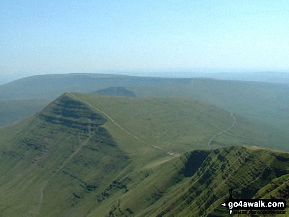
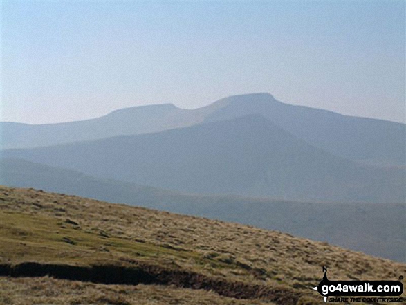
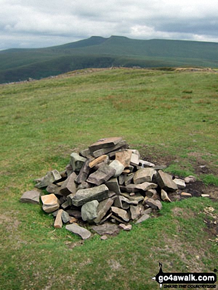
 Pen y Fan in The Brecon Beacons AreaThe Brecon Beacons
Photo: Paul Holroyd
- On an Interactive Google Map with a list of tops below it.
(makes it easier to locate a particular top) - On a Detailed List in:
Alphabetical Order | Height Order - On one page with 'yet-to-be-bagged' listed 1st
& then 'already-bagged' tops listed 2nd in:
Alphabetical Order | Height Order - On one page with 'already-bagged' tops listed 1st
& then 'yet-to-be-bagged' tops listed 2nd in:
Alphabetical Order | Height Order
Is there a Mountain, Peak, Top or Hill missing from the above google map or list?
Let us know an we will add it to our database.


