Walk po104 Pen y Fan and Cribyn from Nant Gwdi

This 8 mile, Grade 6 (Moderate), easy-to-follow, hand-crafted walk, complete with GPS Waypoints, starts at Nant Gwdi & will take about 5½ hrs to complete.

Download Walk PDF Icon
Download GPX Track Icon
Download GPS Waypoints Icon

Vital Statistics:

Length:8mls (12km)
Ascent:2,629ft (801m)
Time:5½hrs
Grade:Walk Grade 6_23_with_text.png Icon

Route outline for walk po104:

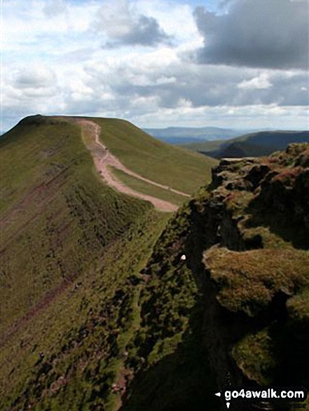
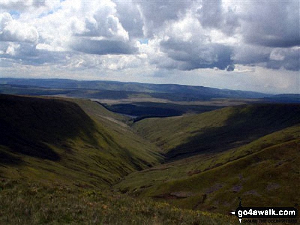
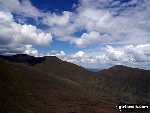
Nant Gwdi  -  Cefn Cwm Llwch  -  Pen y Fan  -  Corn Du  -  Pen y Fan  -  (Penyfan)  -  Craig Cwm Sere  -  Cribyn  -  Bryn-teg  -  Pant  -  Plas-y-gaer  -  Nant Gwdi

Peaks, Summits and Tops reached on this walk:

Hewitt Icon
2
Welsh
Mountains
Wainwright Icon
0
Wainwrights
Welsh Nuttall Icon
3
Welsh
Nuttalls
Dewey Icon
0
Welsh
Deweys
Wainwright Outlying Fell Icon
0
Wainwright
Outlying Fells
Marilyn Icon
1
Welsh
Marilyn
Bridget Icon
0
Bridgets

Peak Bagging Statistics for this walk:

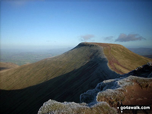
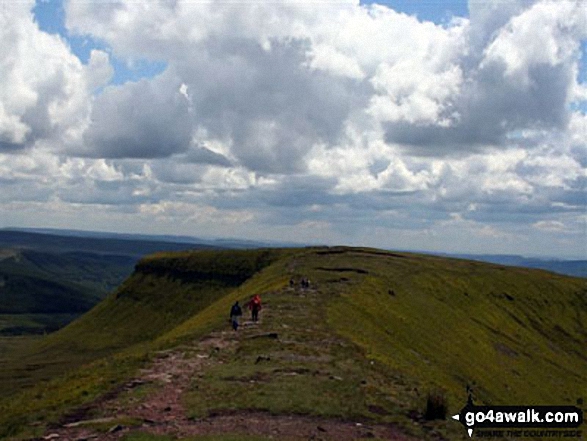
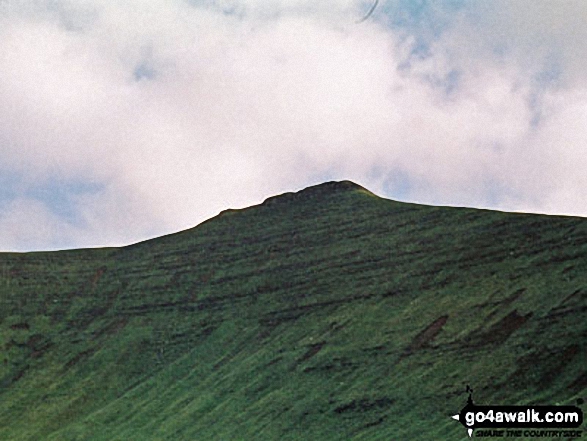
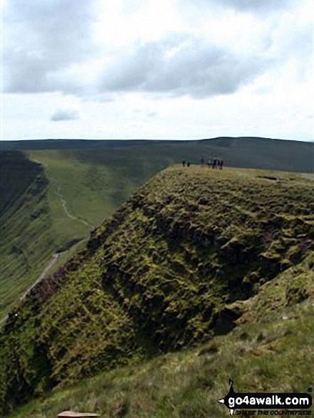
The highest point of this walk is Pen y Fan at 886m (2907ft). Pen y Fan is classified as a Welsh Mountain (Hewitt) (19th highest in Wales, 31st highest in England & Wales)

Pen y Fan is also known as a Welsh Nuttall (21st highest in Wales, 36th highest in England & Wales) and a Welsh Marilyn (10th highest in Wales, 259th highest in the UK).

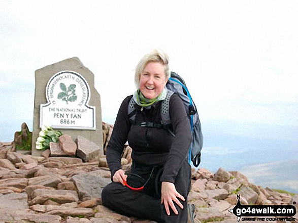
The summit of Pen y Fan is marked by an Ordnance Survey Trig Point. Pen y Fan is the highest point in The Brecon Beacons National Park and the highest point in the county of Powys.

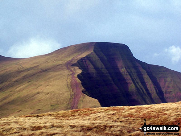
Completing this walk will also take you to the top of Corn Du at 871m (2859ft). Corn Du is also known as a Welsh Nuttall (25th highest in Wales, 43rd highest in England & Wales).

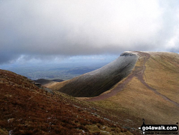
You will also reach the summit of Cribyn at 795m (2609ft). Cribyn is classified as a Welsh Mountain (Hewitt) (37th highest in Wales, 82nd highest in England & Wales)

Cribyn is also known as a Welsh Nuttall (47th highest in Wales, 99th highest in England & Wales). Cribyn means 'The Summit' in Welsh and is pronounced 'kree-bun'.

The summit of Cribyn is marked by a small cairn.


You can find this walk and other nearby walks on these unique Interactive Walk Planning Maps:

(worth a look if you're new to go4awalk.com & have never seen one of these before.)

The Brecon Beacons National Park


1:25,000 scale OS Explorer Map (orange/yellow covers):

OS Explorer OL12 Brecon Beacons National Park - Western & Central areas


1:50,000 scale OS Landranger Map (pink/magenta covers):

OS Landranger 160 Brecon Beacons


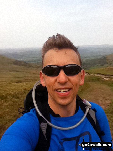
Some Photos and Pictures from Walk po104 Pen y Fan and Cribyn from Nant Gwdi

In no particular order . . .
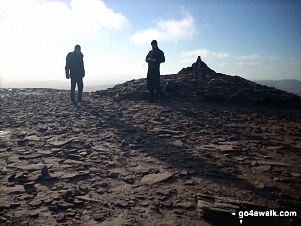
Llyn Cwm Llwch from Pen y Fan

Llyn Cwm Llwch from Pen y Fan

Photo: Joanne Lucas (4)

Bwlch Ar y Fan from Cribyn

Bwlch Ar y Fan from Cribyn

Photo: Krzysztof Ciebien (5)

On a snowy Pen y Fan

On a snowy Pen y Fan

Photo: Terry Williamson (1)

On the summit of Pen y Fan

On the summit of Pen y Fan

Photo: Paul Marshall (1)

View from Pen y Fan

View from Pen y Fan

Photo: Krzysztof Ciebien (11)

Descending Pen y Fan

Descending Pen y Fan

Photo: Krzysztof Ciebien (32)

A sprinkling of snow on Pen y Fan from Corn Du

A sprinkling of snow on Pen y Fan from Corn Du

Photo: Sion Hewitt (2)

Me on Pen y Fan

Me on Pen y Fan

Photo: Peter Brooks (1)

Approaching the summit of Cribyn with Pen y Fan in the distance

Approaching the summit of Cribyn with Pen y Fan in the distance

Photo: Joanne Lucas (1)

Cribyn from Pen y Fan

Cribyn from Pen y Fan

Photo: Sion Hewitt (1)


. . . load all 104 walk photos from Walk po104 Pen y Fan and Cribyn from Nant Gwdi


Send us your photographs and pictures from your walks and hikes

Send them in to us as email attachments (configured for any computer) along with your name/username and where the picture was taken to:

and we shall do our best to publish them.

(Guide Resolution = 300dpi. At least = 660 pixels (wide) x 440 pixels (high).)

Facebook Logo

You can also submit photos via our Facebook Page.

NB. Please indicate where each photo was taken so we can match it to a walk route.


Do not miss our pick of the Best Walks in Britain


One impulse from vernal wood, may teach you more than man, of moral evil and of good, than all the sages can - William Wordsworth: 1770-1850
Follow go4awalk.com on Twitter Follow go4awalk.com on Facebook


Find new Friends to go walking with

Walk all 214 Wainwrights in just 59 Walks. Download GPS Waypoints - Great Walks you must not miss!

Walk The Yorkshire Three Peaks Challenge Walk - All the Latest Route Information, GPS Waypoints and Split Times to keep you on Schedule

Walk The British Three Peaks Challenge Walk - All the Latest Route Information and GPS Waypoints

See our pick of The Best Walks in The Lake District - Great Walks you must not miss!

Walk our pick of the Best Lake District Ridge Walks - Great Walks you must not miss!

Walk our pick of the Best Lake District Walks to do in the rain - Great Walks you must not miss!

Walk our pick of The Best Walks in Snowdonia - Great Walks you must not miss!

Walk our pick of The Best Ridge Walks in Wales - Walks you must not miss!

Walk our pick of The Best Walks in The Brecon Beacons - Great Walks you must not miss!

Walk our pick of The Best Walks in The Yorkshire Dales - Walks you must not miss!

Walk our pick of The Best Walks in The Peak District - Walks you must not miss!

Walk our pick of The Best Walks in The Forest of Bowland - Walks you must not miss!

Walk our pick of The Best Walks in Shropshire - Walks you must not miss!

Walk our pick of The Best Walks in Cheshire - Walks you must not miss!

Walk our pick of The Best Walks in Lancashire - Walks you must not miss!

Not sure where to walk next? Try Peak Bagging - Great Walks you must not miss!

Not sure where to walk next? Walk part of a National Trail - Great Walks you must not miss!

Walks with Downloadable and Uploadable GPS Waypoint Data

Walking Kit and Gear Tested by Walkers

Full Site Search