Pen y Fan
886m (2907ft)
The Brecon Beacons Area, The Brecon Beacons, Powys, Wales
Pen y Fan is the highest point in The Brecon Beacons National Park and the highest point in the county of Powys.
Tap/mouse over a coloured circle (1-3 easy walks, 4-6 moderate walks, 7-9 hard walks) and click to select.
The summit of Pen y Fan is marked by an Ordnance Survey Trig Point.


Not familiar with this top?

   |
|---|
Vital Statistics:
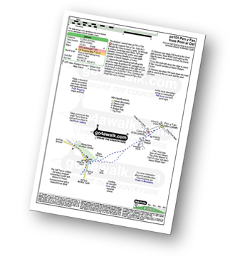
| Length: | 4ml (6.25km) |
|---|---|
| Ascent: | 1,736ft (487m) |
| Time: | 3.25hrs |
| Grade: |  (Moderate) (Moderate) |
Route Summary:
Pont Ar Daf Car Park - Blaen Taf Fawr - Bwlch Duwynt - Pen y Fan - Craig Cwm Llwch - Corn Du - Pen y Fan - Bwlch Duwynt - Craig Gwaun Taf (Bwlch Duwynt) - Blaen Taf Fawr - Pont Ar Daf Car Park


|
|---|
Vital Statistics:
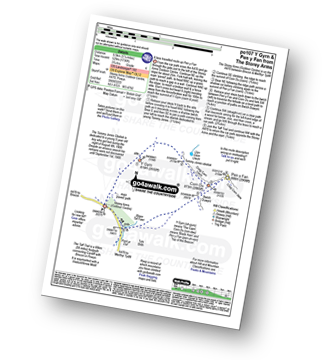
| Length: | 5ml (8km) |
|---|---|
| Ascent: | 1,736ft (529m) |
| Time: | 3.75hrs |
| Grade: | (Moderate) |
Route Summary:
The Storey Arms Outdoor Centre - Y Gyrn - Tommy Jones Obelisk - Craig Cwm Llwch - Corn Du - Pen y Fan - (Penyfan) - Bwlch Duwynt - Craig Gwaun Taf (Bwlch Duwynt) - Blaen Taf Fawr - The Storey Arms Outdoor Centre

|
|---|
Vital Statistics:
| Length: | 5.25ml (8.5km) |
|---|---|
| Ascent: | 1,736ft (529m) |
| Time: | 3.75hrs |
| Grade: | (Moderate) |

Route Summary:
The Storey Arms Outdoor Centre - Y Gyrn - Tommy Jones Obelisk - Craig Cwm Llwch - Corn Du - Pen y Fan - (Penyfan) - Bwlch Duwynt - Craig Gwaun Taf (Bwlch Duwynt) - Blaen Taf Fawr - The Storey Arms Outdoor Centre

|
|---|
Vital Statistics:
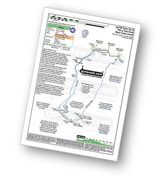
| Length: | 7ml (11km) |
|---|---|
| Ascent: | 2,288ft (697m) |
| Time: | 5 hrs |
| Grade: |  (Moderate) (Moderate) |
Route Summary:
Nant Cwm Llwch - Brecon - Llyn Cwm Llwch - Tommy Jones Obelisk - Craig Cwm Llwch - Corn Du - Pen y Fan - (Penyfan) - Cefn Cwm Llwch - Heolfanog - Cil-rhew - Pont Rhydybetws - Nant Cwm Llwch

|
|---|
Vital Statistics:
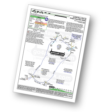
| Length: | 8ml (12km) |
|---|---|
| Ascent: | 2,629ft (801m) |
| Time: | 5½ hrs |
| Grade: | (Moderate) |
Route Summary:
Nant Gwdi - Cefn Cwm Llwch - Pen y Fan - Corn Du - Pen y Fan - (Penyfan) - Craig Cwm Sere - Cribyn - Bryn-teg - Pant - Plas-y-gaer - Nant Gwdi

|
|---|
Vital Statistics:
| Length: | 8.5ml (13.5km) |
|---|---|
| Ascent: | 2,402ft (732m) |
| Time: | 5½ hrs |
| Grade: | (Moderate) |
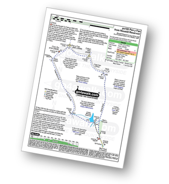
Route Summary:
Lower Neuadd Reservoir - Bwlch ar y Fan - Cribyn - Pen y Fan - (Penyfan) - Corn Du - Bwlch Duwynt - Craig Gwaun Taf (Bwlch Duwynt) - Graig Fan Ddu - Lower Neuadd Reservoir

|
|---|
Vital Statistics:
| Length: | 10ml (16km) |
|---|---|
| Ascent: | 2,850ft (869m) |
| Time: | 6½ hrs |
| Grade: |  (Hard) (Hard) |
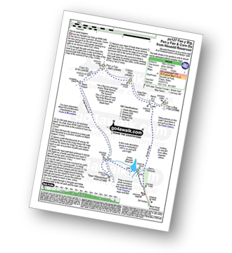
Route Summary:
Lower Neuadd Reservoir - Bwlch ar y Fan - Fan y Big - Cribyn - Pen y Fan - (Penyfan) - Corn Du - Bwlch Duwynt - Craig Gwaun Taf (Bwlch Duwynt) - Graig Fan Ddu - Twyn Mwyalchod - Lower Neuadd Reservoir

|
|---|
Vital Statistics:
| Length: | 10.5ml (17km) |
|---|---|
| Ascent: | 3,256ft (992m) |
| Time: | 7.25hrs |
| Grade: | (Hard) |

Route Summary:
Nant Cwm Llwch - Brecon - Llyn Cwm Llwch - Tommy Jones Obelisk - Craig Cwm Llwch - Corn Du - Pen y Fan - (Penyfan) - Craig Cwm Sere - Cribyn - Craig Cwm Cynwyn - Fan y Big - Bailea - Afon Cynrig - Pant - Plas-y-gaer - Nant Gwdi - Heolfanog - Cil-rhew - Pont Rhydybetws - Nant Cwm Llwch
See Pen y Fan and the surrounding tops on our free-to-access 'Google Style' Peak Bagging Maps:

The Brecon Beacons Area of Bannau Brycheiniog (The Brecon Beacons National Park)
Less data - quicker to download
The Whole of Bannau Brycheiniog (The Brecon Beacons National Park)
More data - might take a little longer to download
See Pen y Fan and the surrounding tops on our downloadable Peak Bagging Map in PDF format:

NB: Whether you print off a copy or download it to your phone, this PDF Peak Baggers' Map might prove incredibly useful when your are up there on the tops and you cannot get a phone signal.
You can find Pen y Fan & all the walks that climb it on these unique free-to-access Interactive Walk Planning Maps:
1:25,000 scale OS Explorer Map (orange/yellow covers):
1:50,000 scale OS Landranger Map (pink/magenta covers):
 Fellow go4awalkers who have already walked, climbed, summited & bagged Pen y Fan
Stephanie Doyle walked up Pen y Fan on December 2nd, 2025 [with] Friend [weather] Wet, & windy, bursts of sun - Great views
Craig Barrell climbed it on August 25th, 2025 [with] solo [weather] sunny
Tia Cain has bagged it [from/via/route] Parked in the car parks at the bottom of the path. [with] Solo [weather] Perfect & clear. - Very much up up up & very simply down down down
Nikola Jenkins hiked Pen y Fan on March 22nd, 2025 [from/via/route] Storey Arms [with] April Bryant [weather] Very misty, poor visibility
Melfyn Parry summited on September 4th, 2024 [from/via/route] Started walk from car park in the Tar Fechan forest, SO 036170. Tarmac road taken up to Lower Neuadd reservoir, which is now disused, crossed a footbridge & climbed up the grassy slope to reach the ridge at a cairn SO 019182, turned right & followed easy path for about 2 miles to reach the summit of Craig Gwaun Taf. From here it is an easy walk to the top of Corn Du & then Pen y Fan (about 25mins to gain the two tops). From Pen y Fan dropped down steep path to meet Beacons Way & then steep ascent to the top of Cribyn. Turned right & followed ridge, along Cambrian Way to Bwlch ar y Fan before another steep path up to Fan y Big. From here continue along ridge to the junction of the path back to Bwlch y Fan along Craig Cwmoergwm. From this junction I dropped down the grassy slope to the Roman Road at SO 034196 & followed the path back to the car park. [with] On my own [weather] Cool breeze with sunny spells & dry. Excellent visibility. - A really nice walk, would definitely do this one again. Stunning views.
To add (or remove) your name and experiences on this page - Log On and edit your Personal Mountain Bagging Record
. . . [see more walk reports]
More Photographs & Pictures of views from, on or of Pen y Fan

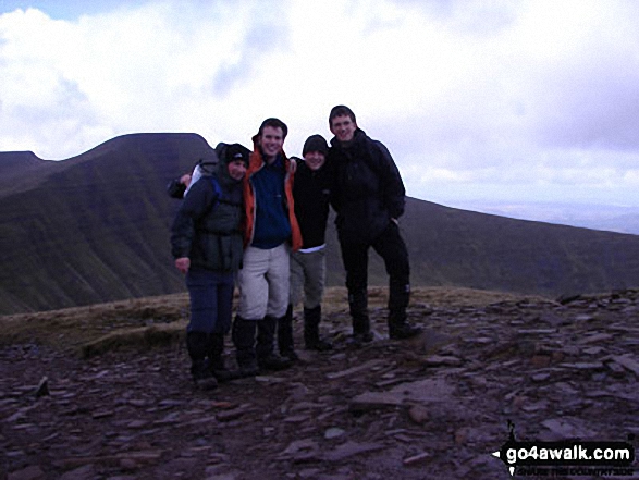
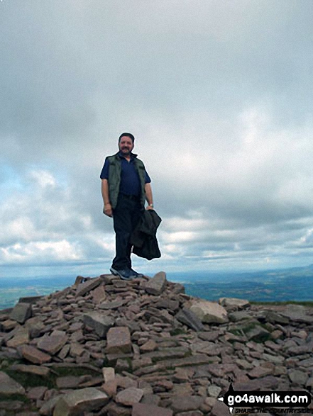

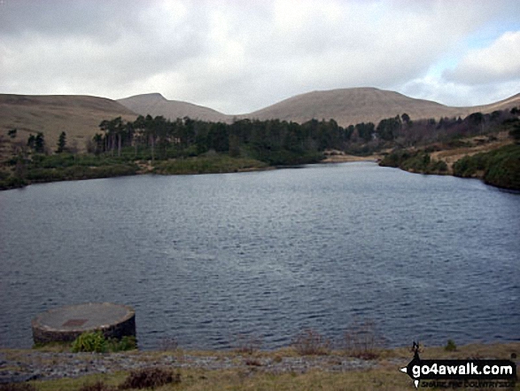
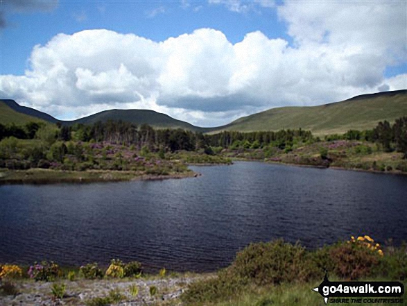
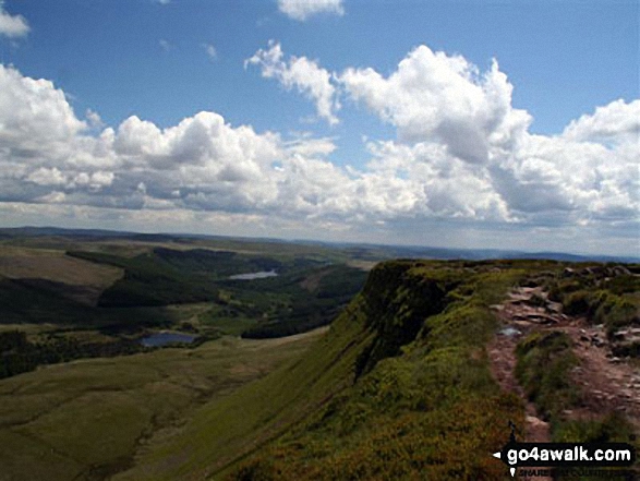

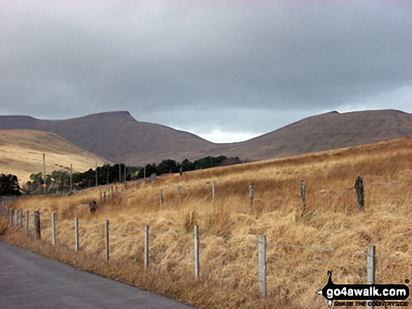
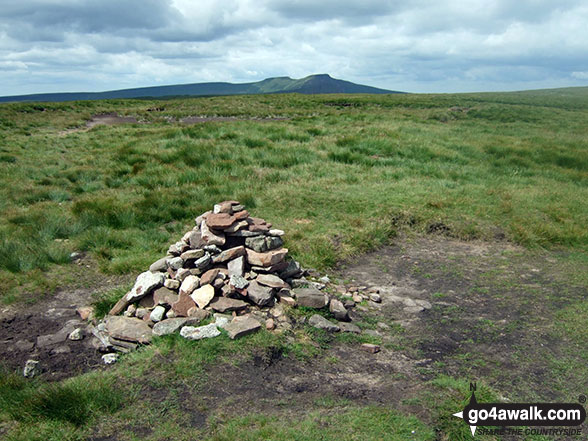
The cairn on the summit of Waun Rydd with Corn Du and Pen y Fan in the distance
. . . see all 109 walk photographs & pictures of views from, on or of Pen y Fan
Send us your photographs and pictures on, of, or from Pen y Fan
If you would like to add your walk photographs and pictures to this page, please send them as email attachments (configured for any computer) along with your name to:
and we shall do our best to publish them.
(Guide Resolution = 300dpi. At least = 660pixels (wide) x 440 pixels (high).)

You can also submit photos via our Facebook Page.
NB. Please indicate where each photo was taken and whether you wish us to credit your photos with a Username or your First Name/Last Name.