   |
Vital Statistics:
| Length: | 5¼mls (8.5km) |
| Ascent: | 1,736ft (529m) |
| Time: | 3¾hrs |
| Grade: |  |

Route outline for walk po158:
The Storey Arms Outdoor Centre - Y Gyrn - Tommy Jones Obelisk - Craig Cwm Llwch - Corn Du - Pen y Fan - (Penyfan) - Bwlch Duwynt - Craig Gwaun Taf (Bwlch Duwynt) - Blaen Taf Fawr - The Storey Arms Outdoor Centre


Points of Interest/Notes on this walk:
The Tommy Jones Obelisk is dedicated to a young 5 year old boy who got lost during the night of August 4th, 1900. Despite an anxious search his remains were not discovered until September 1st, 1900.
Peaks, Summits and Tops reached on this walk:
 1 Welsh Mountain |
 0 Wainwrights |
 4 Welsh Nuttalls |
 0 Welsh Deweys |
 0 Wainwright Outlying Fells |
 1 Welsh Marilyn |
 0 Bridgets |
Peak Bagging Statistics for this walk:
The highest point of this walk is Pen y Fan at 886m (2907ft). Pen y Fan is classified as a Welsh Mountain (Hewitt) (19th highest in Wales, 31st highest in England & Wales)
Pen y Fan is also known as a Welsh Nuttall (21st highest in Wales, 36th highest in England & Wales) and a Welsh Marilyn (10th highest in Wales, 259th highest in the UK).
The summit of Pen y Fan is marked by an Ordnance Survey Trig Point. Pen y Fan is the highest point in The Brecon Beacons National Park and the highest point in the county of Powys.
Completing this walk will also take you to the top of Corn Du at 871m (2859ft). Corn Du is also known as a Welsh Nuttall (25th highest in Wales, 43rd highest in England & Wales).
You will also reach the summit of Craig Gwaun Taf (Bwlch Duwynt) at 826m (2710ft). Craig Gwaun Taf (Bwlch Duwynt) is also known as a Welsh Nuttall (35th highest in Wales, 74th highest in England & Wales). The summit of Craig Gwaun Taf (Bwlch Duwynt) is marked by a small cairn.. Craig Gwaun Taf [Duwynt] was promoted to 'Nuttall' status in November 2016
Along the way you will also bag:
- Y Gyrn at 619m (2032ft). Y Gyrn is known as a Welsh Nuttall (174th highest in Wales, 409th highest in England & Wales).
You can find this walk and other nearby walks on these unique free-to-access Interactive Walk Planning Maps:
1:25,000 scale OS Explorer Map (orange/yellow covers):
1:50,000 scale OS Landranger Map (pink/magenta covers):
Some Photos and Pictures from Walk po158 Pen y Fan from The Storey Arms Outdoor Centre
In no particular order . . .
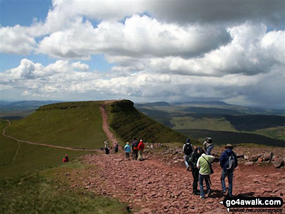

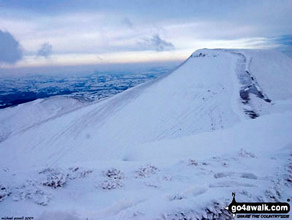
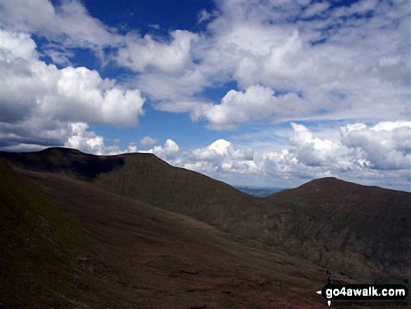
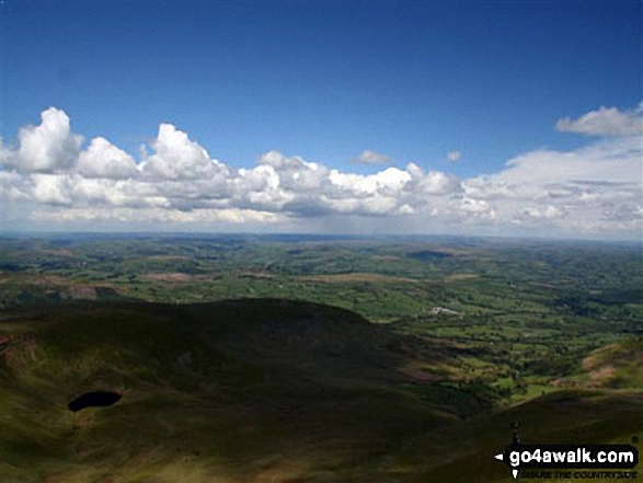
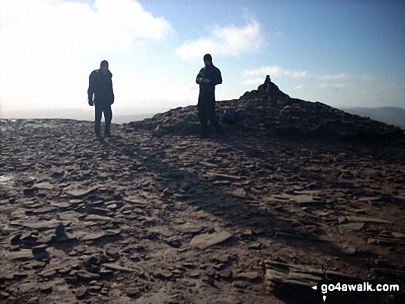
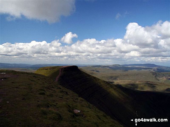

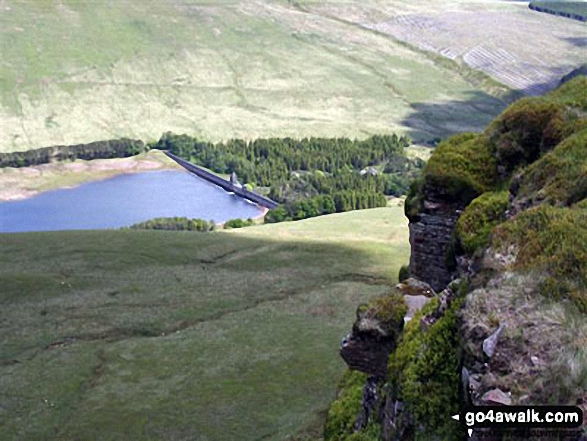


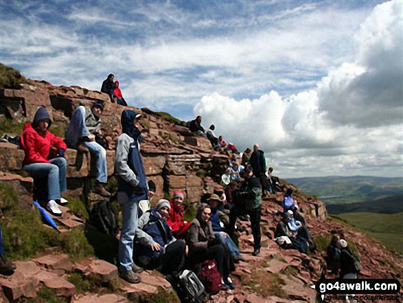

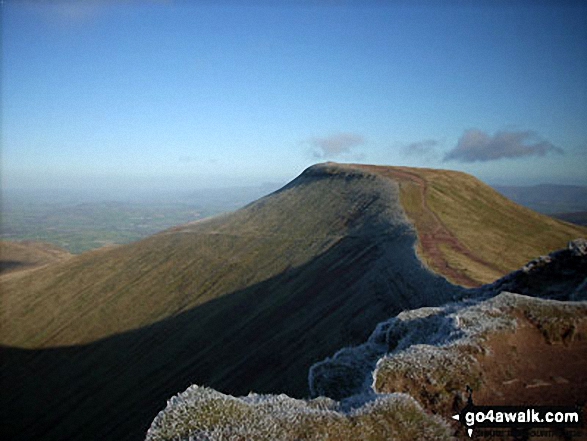
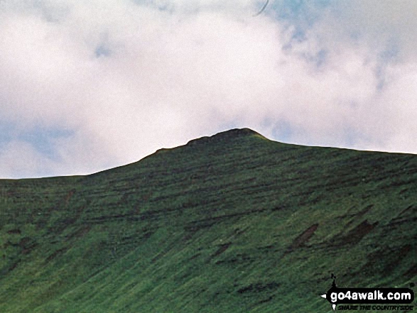

Mick and Rob, friends of 40 years make it to the top of a windswept Pen Y Fan
. . . load all 99 walk photos from Walk po158 Pen y Fan from The Storey Arms Outdoor Centre
Send us your photographs and pictures from your walks and hikes
We would love to see your photographs and pictures from walk po158 Pen y Fan from The Storey Arms Outdoor Centre. Send them in to us as email attachments (configured for any computer) along with your name and where the picture was taken to:
and we shall do our best to publish them.
(Guide Resolution = 300dpi. At least = 660 pixels (wide) x 440 pixels (high).)

You can also submit photos from walk po158 Pen y Fan from The Storey Arms Outdoor Centre via our Facebook Page.
NB. Please indicate where each photo was taken.





