The 30 nearest, easy-to-follow, circular walks, routes & maps to UK Postcode LA10

The thirty nearest, easy-to-follow, circular walks, routes & maps to UK Postcode LA10 in Walk Grade Order

Walk 1 Walking Bootprint Icon

Walk c307 Arant Haw, Calders and The Calf from Sedbergh

Wide expansive views

Download GPS Waypoint Data for walk c307
Download GPX Waypoint Data for walk c307
Download Map and Route Details for walk c307

Vital Statistics:

Length:9.5 miles (15 km)
Ascent:3,114ft (949m)
Time:6½ hrs
Grade:Grade 7 Walking Hard
Walk 2 Walking Bootprint Icon

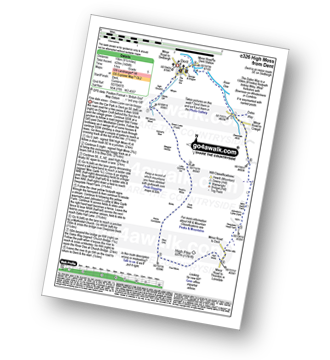
Walk c326 High Moss from Dent

Fine dale views - Green Lane can be very boggy

Download GPS Waypoint Data for walk c326
Download GPX Waypoint Data for walk c326
Download Map and Route Details for walk c326

Vital Statistics:

Length:9.5 miles (15 km)
Ascent:1,404ft (428m)
Time:5 hrs
Grade:Grade 5 Walking Moderate
Walk 3 Walking Bootprint Icon

Walk c344 Aye Gill Pike and Snaizwold Fell from Dent

Fabulous views of The Howgills and Dentdale

Download GPS Waypoint Data for walk c344
Download GPX Waypoint Data for walk c344
Download Map and Route Details for walk c344

Vital Statistics:

Length:12.75 miles (20.5 km)
Ascent:1,830ft (558m)
Time:6½ hrs
Grade:Grade 6 Walking Moderate
Walk 4 Walking Bootprint Icon

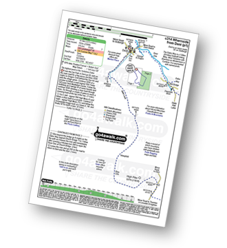
Walk c314 Whernside from Dent

The highest point in the Yorkshire Dales

Download GPS Waypoint Data for walk c314
Download GPX Waypoint Data for walk c314
Download Map and Route Details for walk c314

Vital Statistics:

Length:12.25 miles (19.5 km)
Ascent:2,306ft (703m)
Time:6.70hrs
Grade:Grade 7 Walking Hard
Walk 5 Walking Bootprint Icon

Walk c357 Aye Gill Pike, Snaizwold Fell and Great Knoutberry Hill from Dent

Download GPS Waypoint Data for walk c357
Download GPX Waypoint Data for walk c357
Download Map and Route Details for walk c357

Vital Statistics:

Length:18 miles (29 km)
Ascent:2,945ft (898m)
Time:9½ hrs
Grade:Grade 8 Walking Hard
Walk 6 Walking Bootprint Icon

Walk c374 Green Lane from Dent

Easy walks to high moorland views

Download GPS Waypoint Data for walk c374
Download GPX Waypoint Data for walk c374
Download Map and Route Details for walk c374

Vital Statistics:

Length:5.5 miles (8.5 km)
Ascent:1,004ft (306m)
Time:3 hrs
Grade:Grade 4 Walking Moderate
Walk 7 Walking Bootprint Icon

Walk c300 Crag Hill and Great Coum from Dent

High moorland views

Download GPS Waypoint Data for walk c300
Download GPX Waypoint Data for walk c300
Download Map and Route Details for walk c300

Vital Statistics:

Length:9 miles (14.5 km)
Ascent:19,112ft (583m)
Time:5.25hrs
Grade:Grade 6 Walking Moderate
Walk 8 Walking Bootprint Icon

Walk c336 Calders, The Calf and Yarlside via Cautley Spout from The Cross Keys

A stunning waterfall - can be difficult in mist

Download GPS Waypoint Data for walk c336
Download GPX Waypoint Data for walk c336
Download Map and Route Details for walk c336

Vital Statistics:

Length:6.5 miles (10.5 km)
Ascent:2,612ft (796m)
Time:5 hrs
Grade:Grade 6 Walking Moderate
Walk 9 Walking Bootprint Icon

Walk c330 Yarlside, Randygill Top, The Calf and Calders from The Cross Keys

The fabulous Howgills

Download GPS Waypoint Data for walk c330
Download GPX Waypoint Data for walk c330
Download Map and Route Details for walk c330

Vital Statistics:

Length:8 miles (12.5 km)
Ascent:3,485ft (1,062m)
Time:6½ hrs
Grade:Grade 7 Walking Hard
Walk 10 Walking Bootprint Icon

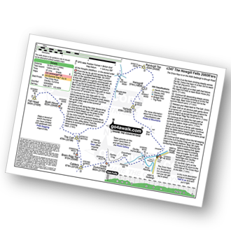
Walk c347 The Howgill Fells 2000ft'ers

All the Howgills 2000ft'ers - in the easiest order

Download GPS Waypoint Data for walk c347
Download GPX Waypoint Data for walk c347
Download Map and Route Details for walk c347

Vital Statistics:

Length:11.5 miles (18.5 km)
Ascent:4,411ft (1,344m)
Time:8.75hrs
Grade:Grade 8 Walking Hard
Walk 11 Walking Bootprint Icon

Walk c365 Calders and The Calf via Cautley Spout from The Cross Keys

A stunning waterfall - can be difficult in mist

Download GPS Waypoint Data for walk c365
Download GPX Waypoint Data for walk c365
Download Map and Route Details for walk c365

Vital Statistics:

Length:6 miles (9.5 km)
Ascent:1,946ft (593m)
Time:4½ hrs
Grade:Grade 5 Walking Moderate
Walk 12 Walking Bootprint Icon

Walk c382 Baugh Fell from Rawthey Bridge

Interesting waterfall and great views of the Howgills

Download GPS Waypoint Data for walk c382
Download GPX Waypoint Data for walk c382
Download Map and Route Details for walk c382

Vital Statistics:

Length:11.25 miles (18 km)
Ascent:1,601ft (488m)
Time:5½ hrs
Grade:Grade 6 Walking Hard
Walk 13 Walking Bootprint Icon

Walk c323 Wild Boar Fell and Swarth Fell from Needle House Farm

Fine views of the Mallerstang Valley

Download GPS Waypoint Data for walk c323
Download GPX Waypoint Data for walk c323
Download Map and Route Details for walk c323

Vital Statistics:

Length:8.5 miles (13.5 km)
Ascent:1,864ft (568m)
Time:5 hrs
Grade:Grade 6 Walking Moderate
Walk 14 Walking Bootprint Icon

Walk c319 Cross Wold from Dent Railway Station

Terrific views of Dentdale

Download GPS Waypoint Data for walk c319
Download GPX Waypoint Data for walk c319
Download Map and Route Details for walk c319

Vital Statistics:

Length:6.5 miles (10.5 km)
Ascent:1,227ft (374m)
Time:3.75hrs
Grade:Grade 4 Walking Moderate
Walk 15 Walking Bootprint Icon

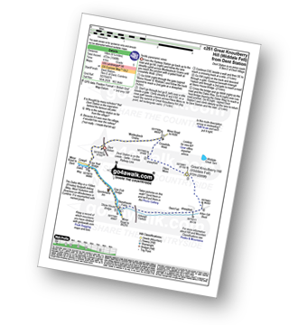
Walk c261 Great Knoutberry Hill (Widdale Fell) from Dent Station

Terrific panoramic views

Download GPS Waypoint Data for walk c261
Download GPX Waypoint Data for walk c261
Download Map and Route Details for walk c261

Vital Statistics:

Length:6.25 miles (10 km)
Ascent:1,548ft (472m)
Time:4 hrs
Grade:Grade 5 Walking Moderate
Walk 16 Walking Bootprint Icon

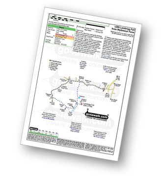
Walk c289 Lambrigg Fell from Wythmoor Farm

Good views

Download GPS Waypoint Data for walk c289
Download GPX Waypoint Data for walk c289
Download Map and Route Details for walk c289

Vital Statistics:

Length:5.25 miles (8.5 km)
Ascent:899ft (274m)
Time:3 hrs
Grade:Grade 3 Walking Easy
Walk 17 Walking Bootprint Icon

Walk c339 Calf Top from Barbon

England's 'newest' mountain

Download GPS Waypoint Data for walk c339
Download GPX Waypoint Data for walk c339
Download Map and Route Details for walk c339

Vital Statistics:

Length:13.5 miles (21.5 km)
Ascent:2,317ft (706m)
Time:7.25hrs
Grade:Grade 7 Walking Hard
Walk 18 Walking Bootprint Icon

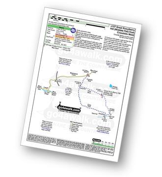
Walk c157 Great Knoutberry Hill (Widdale Fell) from Crosshills Wold

Terrific panoramic views

Download GPS Waypoint Data for walk c157
Download GPX Waypoint Data for walk c157
Download Map and Route Details for walk c157

Vital Statistics:

Length:4 miles (6.5 km)
Ascent:797ft (243m)
Time:2½ hrs
Grade:Grade 3 Walking Easy
Walk 19 Walking Bootprint Icon

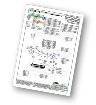
Walk c156 Carlingill Spout, Black Force, Fell Head (Howgills) and Lingshaw from Carlingill Bridge

Great ravine walking - great views of the Howgills

Download GPS Waypoint Data for walk c156
Download GPX Waypoint Data for walk c156
Download Map and Route Details for walk c156

Vital Statistics:

Length:4.75 miles (7.5 km)
Ascent:1,890ft (576m)
Time:3½ hrs
Grade:Grade 4 Walking Moderate
Walk 20 Walking Bootprint Icon

Walk c180 The Howgills from Low Carlingill Bridge

Cumbria's finest waterfall - though few paths and the ascent up Carlingill Spout can be a little daunting

Download GPS Waypoint Data for walk c180
Download GPX Waypoint Data for walk c180
Download Map and Route Details for walk c180

Vital Statistics:

Length:11 miles (17.5 km)
Ascent:4,430ft (1,350m)
Time:8½ hrs
Grade:Grade 8 Walking Hard
Walk 21 Walking Bootprint Icon

Walk c282 Wild Boar Fell from Cotegill Bridge

Fine Views from lonely hilltops

Download GPS Waypoint Data for walk c282
Download GPX Waypoint Data for walk c282
Download Map and Route Details for walk c282

Vital Statistics:

Length:6.25 miles (10 km)
Ascent:1,548ft (472m)
Time:3.75hrs
Grade:Grade 5 Walking Moderate
Walk 22 Walking Bootprint Icon

Walk ny129 Gragareth and Great Coum from Leck Fell House

Good views of the 'three peaks' & lakeland

Download GPS Waypoint Data for walk ny129
Download GPX Waypoint Data for walk ny129
Download Map and Route Details for walk ny129

Vital Statistics:

Length:8.5 miles (13.5 km)
Ascent:1,653ft (504m)
Time:4.75hrs
Grade:Grade 5 Walking Moderate
Walk 23 Walking Bootprint Icon

Walk c384 Grayrigg Forest from Hause Bridge

Superb views, absolutely superb

Download GPS Waypoint Data for walk c384
Download GPX Waypoint Data for walk c384
Download Map and Route Details for walk c384

Vital Statistics:

Length:4.5 miles (7 km)
Ascent:1,214ft (370m)
Time:3 hrs
Grade:Grade 4 Walking Moderate
Walk 24 Walking Bootprint Icon

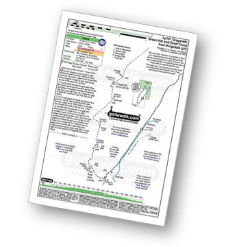
Walk ny141 Gragareth and Green Hill from Kingsdale

Good views of the famous Yorkshire 'Three Peaks'

Download GPS Waypoint Data for walk ny141
Download GPX Waypoint Data for walk ny141
Download Map and Route Details for walk ny141

Vital Statistics:

Length:12.25 miles (19.5 km)
Ascent:1,568ft (478m)
Time:6 hrs
Grade:Grade 6 Walking Moderate
Walk 25 Walking Bootprint Icon

Walk ny332 The Yorkshire Three Peaks Challenge as a 3 day walk - Day 2 from Ribblehead

The Yorkshire Three Peaks - the civilised way

Download GPS Waypoint Data for walk ny332
Download GPX Waypoint Data for walk ny332
Download Map and Route Details for walk ny332

Vital Statistics:

Length:8.75 miles (14 km)
Ascent:1,772ft (540m)
Time:5 hrs
Grade:Grade 6 Walking Moderate
Walk 26 Walking Bootprint Icon

Walk ny322 The Yorkshire Three Peaks Challenge as a 2 day walk - Day 2 from Horton in Ribblesdale

Do the Yorkshire Three Peaks over a weekend

Download GPS Waypoint Data for walk ny322
Download GPX Waypoint Data for walk ny322
Download Map and Route Details for walk ny322

Vital Statistics:

Length:14 miles (22.5 km)
Ascent:3,207ft (977m)
Time:8½ hrs
Grade:Grade 8 Walking Hard
Walk 27 Walking Bootprint Icon

Walk ny109 Whernside from Ribblehead Viaduct

The Yorkshire Dales' Highest Point

Download GPS Waypoint Data for walk ny109
Download GPX Waypoint Data for walk ny109
Download Map and Route Details for walk ny109

Vital Statistics:

Length:7.75 miles (12.5 km)
Ascent:1,574ft (480m)
Time:4½ hrs
Grade:Grade 5 Walking Moderate
Walk 28 Walking Bootprint Icon

Walk c388 Little Fell (Mallerstang) and High Seat from Outhgill

Fine views of the Mallerstang valley

Download GPS Waypoint Data for walk c388
Download GPX Waypoint Data for walk c388
Download Map and Route Details for walk c388

Vital Statistics:

Length:9.75 miles (15.5 km)
Ascent:2,038ft (621m)
Time:5.75hrs
Grade:Grade 6 Walking Moderate
Walk 29 Walking Bootprint Icon

Walk ny130 Ingleborough and Raven Scar from The Old Hill Inn, Ribblehead

Fine views of Whernside and Ribblehead

Download GPS Waypoint Data for walk ny130
Download GPX Waypoint Data for walk ny130
Download Map and Route Details for walk ny130

Vital Statistics:

Length:8.25 miles (13 km)
Ascent:1,932ft (589m)
Time:5 hrs
Grade:Grade 6 Walking Moderate
Walk 30 Walking Bootprint Icon

Walk ny171 Ingleborough and Simon Fell from The Old Hill Inn, Ribblehead

Fine views of Whernside and the magnificent Ribblehead viaduct

Download GPS Waypoint Data for walk ny171
Download GPX Waypoint Data for walk ny171
Download Map and Route Details for walk ny171

Vital Statistics:

Length:11.5 miles (18.5 km)
Ascent:2,227ft (679m)
Time:6½ hrs
Grade:Grade 6 Walking Moderate

Do not miss our pick of the Best Walks in the UK


Follow go4awalk.com on Twitter Follow go4awalk.com on Facebook


Do not miss our pick of the Best Walks in the UK