   |
Vital Statistics:
| Length: | 4½mls (7km) |
| Ascent: | 1,214ft (370m) |
| Time: | 3hrs |
| Grade: |  |

Route outline for walk c384:
Hause Bridge Parking Area - Grayrigg Pike - Grayrigg Forest - Repeater Station - Borrowdale Wood - Hause Bridge Parking Area
Peaks, Summits and Tops reached on this walk:
 0 English Mountains |
 0 Wainwrights |
 0 English Nuttalls |
 0 English Deweys |
 0 Wainwright Outlying Fells |
 1 Marilyn |
 0 Bridgets |
Peak Bagging Statistics for this walk:
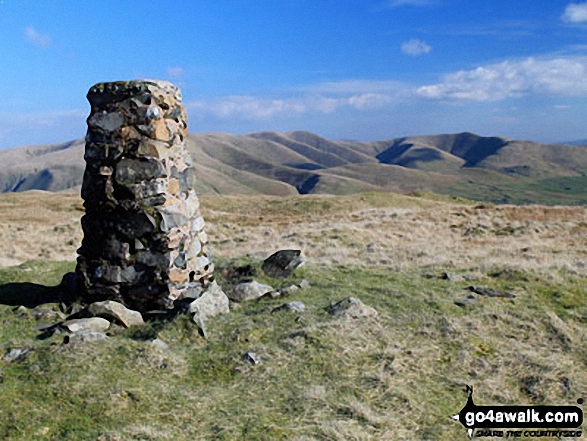
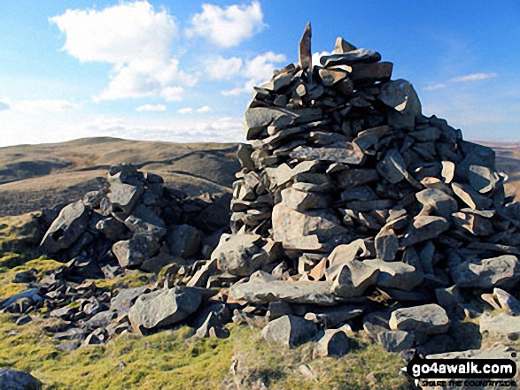
The highest point of this walk is Grayrigg Forest at 494m (1621ft). Grayrigg Forest is classified as an English Marilyn (80th highest in England, 994th highest in the UK). The summit of Grayrigg Forest is marked by an Ordnance Survey Trig Point.
You can find this walk and other nearby walks on these unique free-to-access Interactive Walk Planning Maps:
1:25,000 scale OS Explorer Map (orange/yellow covers):
1:50,000 scale OS Landranger Map (pink/magenta covers):
Some Photos and Pictures from Walk c384 Grayrigg Forest from Hause Bridge
In no particular order . . .

Blease Fell and The Howgill Fells 2000ft'ers - Randygill Top, The Calf, Calders and Fell Head (Howgills) - from Grayrigg Pike (Grayrigg Forest) summit
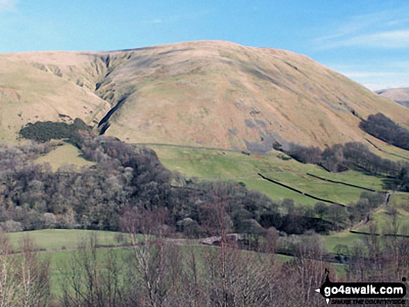
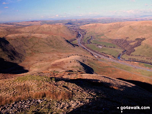
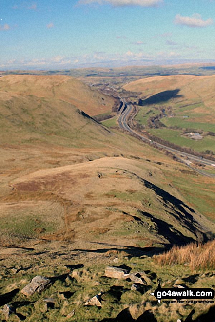
Cleugh Gill (left) and Blease Fell from the lower slopes of Grayrigg Forest
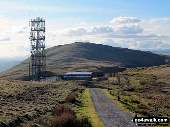
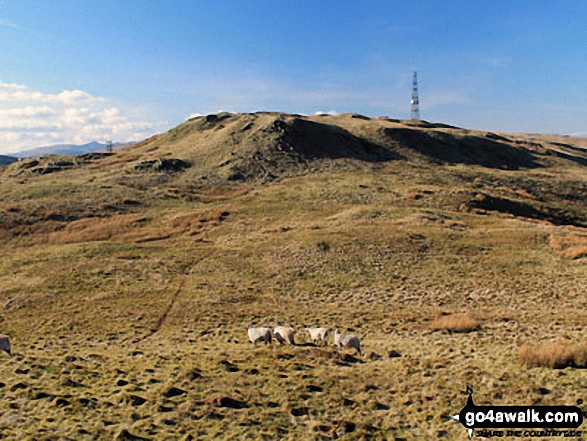
The Repeater Station on Grayrigg Forest with Whinfell Common in the background


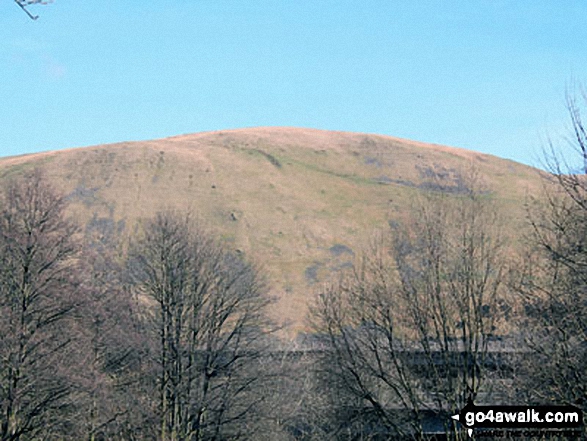
Great Coum (left), Greyrigg Pike and Little Coum (right) from the lower slopes of Grayrigg Forest
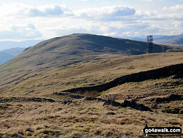


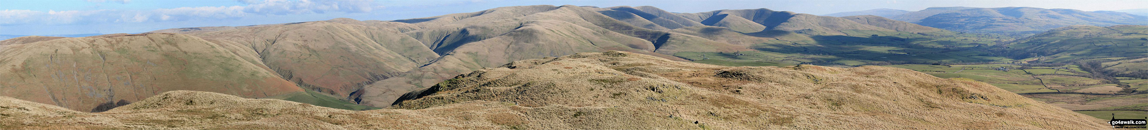
Whinash, Winterscleugh, Roundthwaite Common, Belt Howe, Birk Knott, Casterfell Hill and Jeffrey's Mount from The Repeater Station on Grayrigg Forest


The view south-east and west from the summit of Grayrigg Pike (Grayrigg Forest)
Telecommunications Mast from the Trig Point on the summit of Grayrigg Forest
. . . load all 35 walk photos from Walk c384 Grayrigg Forest from Hause Bridge
Send us your photographs and pictures from your walks and hikes
We would love to see your photographs and pictures from walk c384 Grayrigg Forest from Hause Bridge. Send them in to us as email attachments (configured for any computer) along with your name and where the picture was taken to:
and we shall do our best to publish them.
(Guide Resolution = 300dpi. At least = 660 pixels (wide) x 440 pixels (high).)

You can also submit photos from walk c384 Grayrigg Forest from Hause Bridge via our Facebook Page.
NB. Please indicate where each photo was taken.


