

Ill Crag
931m (3054ft)
The Southern Fells, The Lake District, Cumbria, England
Tap/mouse over a coloured circle (1-3 easy walks, 4-6 moderate walks, 7-9 hard walks) and click to select.


Not familiar with this top?
You can walk to the top of Ill Crag by using any of these 8 easy‑to‑follow route maps:

   |
|---|
Vital Statistics:
| Length: | 9ml (14.5km) |
|---|---|
| Ascent: | 3,696ft (1,126m) |
| Time: | 7 hrs |
| Grade: |  (Hard) (Hard) |

Route Summary:
Wasdale Head - Wast Water - Lingmell - Lingmell Col - Scafell Pike - Broad Crag - Ill Crag - Great End - Esk Hause - Sty Head - Lingmell Beck - Gable Beck Bridge - Wasdale Head - Wast Water.


|
|---|
Vital Statistics:
| Length: | 9.5ml (15km) |
|---|---|
| Ascent: | 3,477ft (1,060m) |
| Time: | 7 hrs |
| Grade: | (Hard) |

Route Summary:
Seathwaite (Borrowdale) - Grains Gill - Styhead Gill - Styhead Tarn - Corridor Route - Scafell Pike - Broad Crag - Ill Crag - Great End - Esk Hause - Grains Gill - Seathwaite (Borrowdale)

|
|---|
Vital Statistics:
| Length: | 9.75ml (15.5km) |
|---|---|
| Ascent: | 5,140ft (1,567m) |
| Time: | 8.75hrs |
| Grade: |  (Hard) (Hard) |

Route Summary:
Wasdale Head - (National Trust Campsite) - Wast Water - Lingmell - Middleboot Knotts - Round How (Scafell) - Great End - Ill Crag - Broad Crag - Scafell Pike - Mickledore - Foxes Tarn - Symonds Knott - Sca Fell - Wast Water.

|
|---|
Vital Statistics:
| Length: | 11ml (17.5km) |
|---|---|
| Ascent: | 5,409ft (1,648m) |
| Time: | 9½ hrs |
| Grade: | (Hard) |

Route Summary:
Wasdale Head - (National Trust Campsite) - Wast Water - Lingmell - Corridor Route - Great End - Ill Crag - Broad Crag - Scafell Pike - Mickledore - Foxes Tarn - Symonds Knott - Sca Fell - Slight Side - Broad Tongue - Hardrigg Gill - Wasdale Head - Wast Water.

|
|---|
Vital Statistics:
| Length: | 11.25ml (18km) |
|---|---|
| Ascent: | 3,883ft (1,183m) |
| Time: | 8 hrs |
| Grade: | (Hard) |

Route Summary:
Great Langdale - The Old Dungeon Ghyll - The Cumbria Way - Mickleden Beck - Rossett Gill - Rossett Pike - Angle Tarn (Langdale) - Esk Hause - Scafell Pike - Ill Crag - Broad Crag - Great End - Esk Hause - Angle Tarn - Rossett Gill - Mickleden - Mickleden Beck - The Cumbria Way - The Old Dungeon Ghyll - Great Langdale

|
|---|
Vital Statistics:
| Length: | 12.5ml (20km) |
|---|---|
| Ascent: | 4,684ft (1,428m) |
| Time: | 9.25hrs |
| Grade: | (Hard) |

Route Summary:
Great Langdale - The Old Dungeon Ghyll - The Cumbria Way - Mickleden Beck - Mickleden - Rossett Beck - Rossett Pike - Angle Tarn (Langdale) - Esk Hause - Great End - Ill Crag - Broad Crag - Scafell Pike - Esk Hause - Esk Pike - Ore Gap - Bow Fell (Bowfell) (North Top) - Bow Fell (Bowfell) - Bowfell Buttress - Cambridge Crag - Flat Crag - Climbers' Traverse (optional) - Three Tarns - The Band - Oxendale - Stool End Farm - The Old Dungeon Ghyll - Great Langdale

|
|---|
Vital Statistics:
| Length: | 13.75ml (22km) |
|---|---|
| Ascent: | 4,982ft (1,519m) |
| Time: | 10 hrs |
| Grade: |  (Very Hard) (Very Hard) |

Route Summary:
Eskdale - Wha House Farm - Hare Crag - Quagrigg Moss - Slight Side - Sca Fell - Symonds Knott - Scafell Pike - Broad Crag - Ill Crag - Great End - Esk Hause - Lingcove Bridge - Great Moss - Eskdale

|
|---|
Vital Statistics:
| Length: | 14ml (22.5km) |
|---|---|
| Ascent: | 6,009ft (1,832m) |
| Time: | 9 hrs |
| Grade: | (Very Hard) |

Route Summary:
Eskdale - Wha House Farm - Hare Crag - Quagrigg Moss - Slight Side - Sca Fell - Symonds Knott - Mickledore - Scafell Pike - Broad Crag - Ill Crag - Great End - Esk Hause - Esk Pike - Ore Gap - Bow Fell (Bowfell) (North Top) - Bow Fell (Bowfell) - Bowfell Buttress - Cambridge Crag - Flat Crag - Climbers' Traverse (optional) - Three Tarns - Great Moss - Brotherikeld - Eskdale
See Ill Crag and the surrounding tops on our free-to-access 'Google Style' Peak Bagging Maps:

The Southern Fells of The Lake District National Park
Less data - quicker to download
The Whole of The Lake District National Park
More data - might take a little longer to download
See Ill Crag and the surrounding tops on our unique, downloadable, PDF Peak Bagging Maps:

NB: Whether you print off a copy or download it to your phone, these PDF Peak Baggers' Maps might prove incredibly useful when your are up there on the tops and you cannot get a phone signal.
*This version is marked with the walk routes you need to follow to Walk all 214 Wainwrights in just 59 walks.
You can find Ill Crag & all the walks that climb it on these unique free-to-access Interactive Walk Planning Maps:
1:25,000 scale OS Explorer Map (orange/yellow covers):
1:50,000 scale OS Landranger Maps (pink/magenta covers):
 Fellow go4awalkers who have already walked, climbed, scaled, summited, hiked & bagged Ill Crag
Hazel Gilbert walked up Ill Crag on June 24th, 2008 [with] Lawrence
John Ramsbottom climbed it on January 7th, 2024 [from/via/route] Started at Wasdale Head car park [with] Lola [weather] sunshine cold & frosty, nice day - No pub this time . Being good
Paul Macey bagged it on June 21st, 2019 [from/via/route] Langdale rossetts pike Allen craggs [with] Luke Macey
Kevin Foster hiked Ill Crag on May 19th, 2022 [from/via/route] National Trust car park, Brackenclose, Wasdale Head. [with] By myself. [weather] Early cloud on Scafells lifting by midday then sunny. - Turn left off the main highway after the col with Great End. Glorious views of Eskdale. Take care clambering over the boulders though.
Marcelle Allman summited on August 2nd, 2020 [from/via/route] Wasdale Head [weather] Weat overcast
To add (or remove) your name and experiences on this page - Log On and edit your Personal Mountain Bagging Record
. . . [see more walk reports]
More Photographs & Pictures of views from, on, or of, Ill Crag

The Scafel Massive featuring Ling Mell, Great End, Broad Crag, Ill Crag, Scafell Pike, Symonds Knott and Sca Fell above Wast Water from Buckbarrow
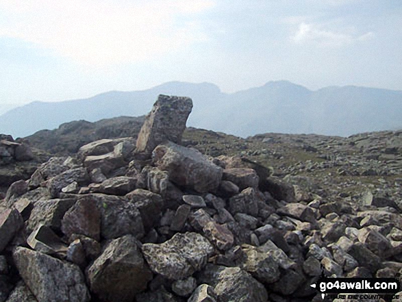
The Scafell Massif - Slight Side, Sca Fell, Symonds Knott, Mickledore, Scafell Pike, Ill Crag and Great End from Crinkle Crags (Long Top)
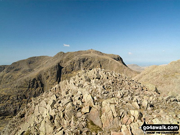
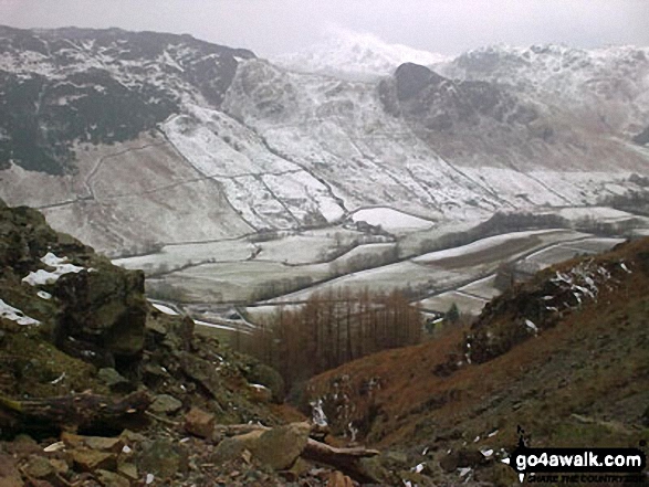

The Scafell Massif - Slight Side, Sca Fell, Symonds Knott, Mickledore, Scafell Pike, Ill Crag and Great End - from the summit of Little Stand

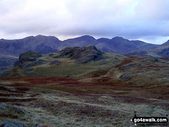
Slight Side and Sca Fell, Mickledore, Scafell Pike, Ill Crag, Great End and Esk Hause from Lingcove Bridge
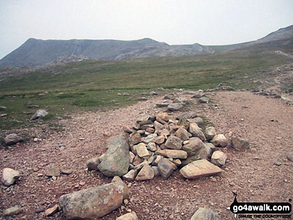
Scafell Pike (far left), Ill Crag and the shoulder of Great End (far right) from Esk Hause

The Scafell Massif - Slight Side, Sca Fell, Symonds Knott, Mickledore, Scafell Pike and Ill Crag - from the summit of Bow Fell (Bowfell)

Wast Water with the Scafel Massive (far left- featuring Ling Mell, Great End, Broad Crag, Ill Crag, Scafell Pike, Symonds Knott and Sca Fell) and Illgill Head (centre) and Whin Rigg (centre right) above the Wast Water screes from Buckbarrow
. . . see all 25 walk photographs & pictures of views from, on, or of, Ill Crag
Send us your photographs and pictures on, of, or from Ill Crag
If you would like to add your walk photographs and pictures to this page, please send them as email attachments (configured for any computer) along with your name to:
and we shall do our best to publish them.
(Guide Resolution = 300dpi. At least = 660pixels (wide) x 440 pixels (high).)

You can also submit photos via our Facebook Page.
NB. Please indicate where each photo was taken and whether you wish us to credit your photos with a Username or your First Name/Last Name.





