|
Vital Statistics:
| Length: | 12½mls (20km) |
| Ascent: | 4,684ft (1,428m) |
| Time: | 9¼hrs |
| Grade: |  |
Route outline for walk c194:
Great Langdale - The Old Dungeon Ghyll - The Cumbria Way - Mickleden Beck - Mickleden - Rossett Beck - Rossett Pike - Angle Tarn (Langdale) - Esk Hause - Great End - Ill Crag - Broad Crag - Scafell Pike - Esk Hause - Esk Pike - Ore Gap - Bow Fell (Bowfell) (North Top) - Bow Fell (Bowfell) - Bowfell Buttress - Cambridge Crag - Flat Crag - Climbers' Traverse (optional) - Three Tarns - The Band - Oxendale - Stool End Farm - The Old Dungeon Ghyll - Great Langdale
Points of Interest/Notes on this walk:
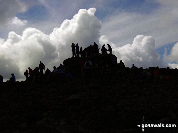
In good weather you can see mountains in Wales, Ireland, Scotland and the Isle of Man from the summit of Scafell Pike so try and go in on a clear day.
At an elevation of 832m (2,731ft), Broad Crag Tarn is the highest body of standing water in England. It can be found approximately 420 m south west of the summit of Scafell Pike.
Peaks, Summits and Tops reached on this walk:
 7 English Mountains |
 5 Wainwrights |
 8 English Nuttalls |
 0 English Deweys |
 0 Wainwright Outlying Fells |
 1 Marilyn |
 0 Bridgets |
Peak Bagging Statistics for this walk:
The highest point of this walk is Scafell Pike at 978m (3210ft). Scafell Pike is classified as an English Mountain (Hewitt) (1st highest in England, 8th highest in England & Wales) and a Wainwright (No. 1).
Scafell Pike is also known as an English Nuttall (1st highest in England, 8th highest in England & Wales) and an English Marilyn (1st highest in England, 138th highest in the UK).
Scafell Pike means 'the highest point of 'The Pikes of Sca Fell'. This was the collective term for all the lumps and bumps on the top of the Sca Fell Massif (namely Sca Fell Pike, Sca Fell, Symonds Knott, Broad Crag, Ill Crag and Great End) when it was donated to The National Trust by Lord Leconfield in 1919. Sca Fell Pike became Scafell Pike (without the space) due to an error by the Ordnance Survey and the name stuck.' and is pronounced 'Though Scafell Pike is usually pronounced 'Skar Fell Pyke', the Lake District locals pronounce it 'SKOR-fall Pyke' with the emphasis on the first syllable. Indeed, many older texts spell it 'Skawfell Pike'.
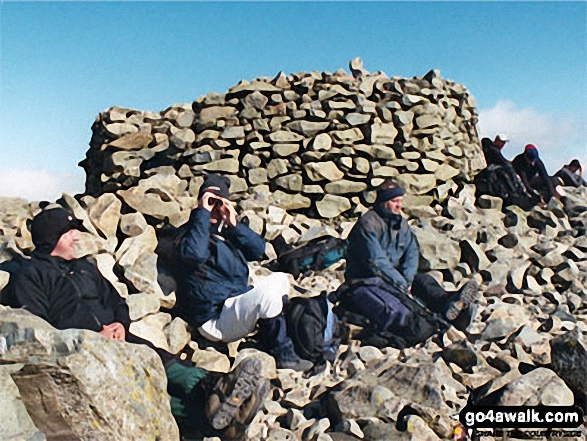
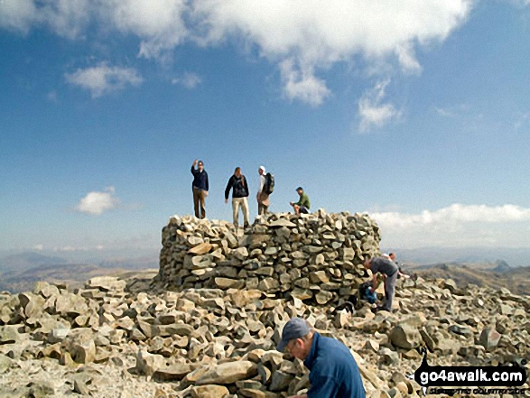
The summit of Scafell Pike is marked by an Ordnance Survey Trig Point. Scafell Pike is the highest point in the county of Cumbria, the highest point in The Lake District National Park and the highest point in England. It was also the highest point in the old county of Cumberland.
Completing this walk will also take you to the top of Broad Crag at 935m (3069ft). Broad Crag is classified as an English Mountain (Hewitt) (4th highest in England, 15th highest in England & Wales)
Broad Crag is also known as an English Nuttall (5th highest in England, 17th highest in England & Wales).
You will also reach the summit of Ill Crag at 931m (3054ft). Ill Crag is classified as an English Mountain (Hewitt) (5th highest in England, 16th highest in England & Wales)
Ill Crag is also known as an English Nuttall (6th highest in England, 18th highest in England & Wales).
Along the way you will also bag:
- Great End at 910m (2987ft). Great End is classified as an English Mountain (Hewitt) (7th highest in England, 22nd highest in England & Wales), a Wainwright (No. 5) and an English Nuttall (9th highest in England, 25th highest in England & Wales).
- Bow Fell (Bowfell) at 902m (2960ft). Bow Fell (Bowfell) is classified as an English Mountain (Hewitt) (8th highest in England, 24th highest in England & Wales), a Wainwright (No. 6) and an English Nuttall (10th highest in England, 27th highest in England & Wales).
- Esk Pike at 885m (2904ft). Esk Pike is classified as an English Mountain (Hewitt) (13th highest in England, 33rd highest in England & Wales), a Wainwright (No. 11) and an English Nuttall (16th highest in England, 38th highest in England & Wales).
- Bow Fell (Bowfell) (North Top) at 866m (2841ft). Bow Fell (Bowfell) (North Top) is known as an English Nuttall (20th highest in England, 45th highest in England & Wales).
- Rossett Pike at 651m (2136ft). Rossett Pike is classified as an English Mountain (Hewitt) (143rd highest in England, 246th highest in England & Wales), a Wainwright (No. 115) and an English Nuttall (191st highest in England, 329th highest in England & Wales).
National Trails & Long Paths included on this walk:
Part of this walk follows a section of The Cumbria Way, a 112km (70 miles) linear footpath connecting Ulverston in Cumbria, England with Carlisle in Cumbria, England. The Cumbria Way is waymarked by named posts. For more walks that include a section of this trail see The Cumbria Way.
You can find this walk and other nearby walks on these unique free-to-access Interactive Walk Planning Maps:
1:25,000 scale OS Explorer Map (orange/yellow covers):
1:50,000 scale OS Landranger Maps (pink/magenta covers):
Some Photos and Pictures from Walk c194 Scafell Pike from The Old Dungeon Ghyll, Great Langdale
In no particular order . . .
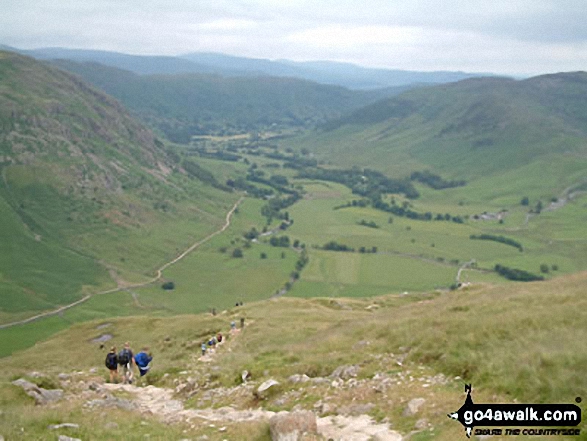
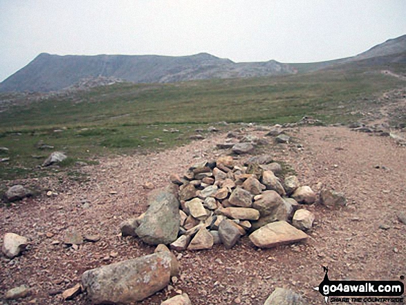
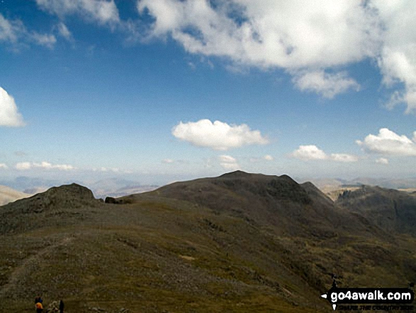
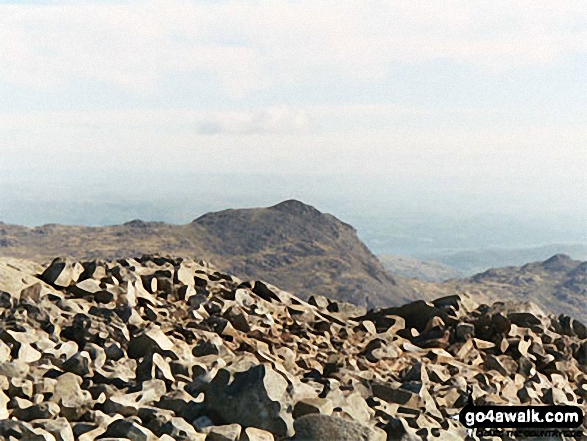
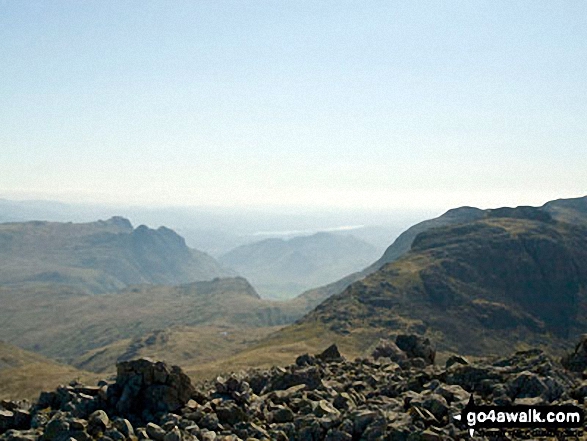
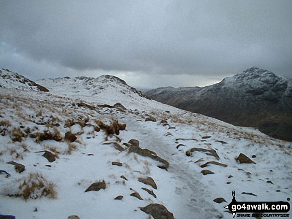
Scafell Pike (far left), Ill Crag and the shoulder of Great End (far right) from Esk Hause
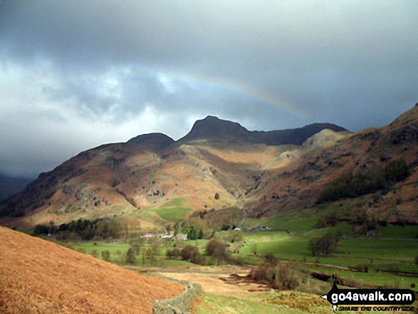
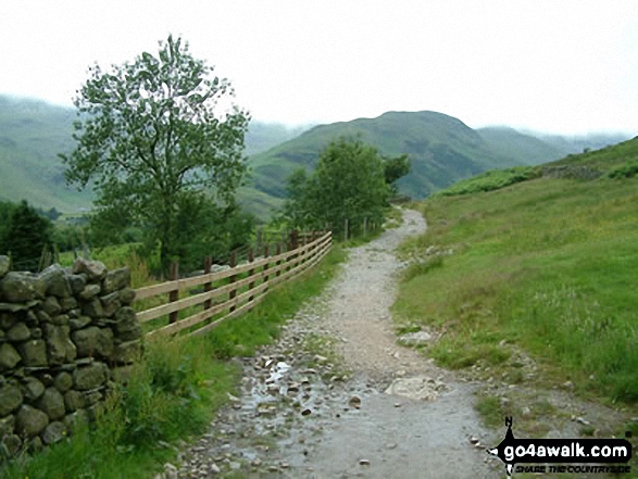
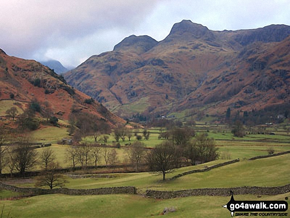
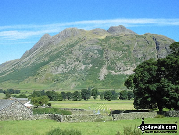
Approaching the (somewhat moody) Langdale Pikes along the Cumbria Wayin Great Langdale below Oakhowe Crag.
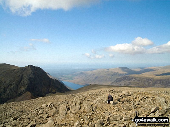
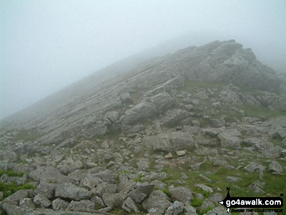
Lone fell walker on Scafell Pike with Symonds Knott and Sca Fell (left), Wast Water and Seatallen (right) beyond
. . . load all 178 walk photos from Walk c194 Scafell Pike from The Old Dungeon Ghyll, Great Langdale
Send us your photographs and pictures from your walks and hikes
We would love to see your photographs and pictures from walk c194 Scafell Pike from The Old Dungeon Ghyll, Great Langdale. Send them in to us as email attachments (configured for any computer) along with your name and where the picture was taken to:
and we shall do our best to publish them.
(Guide Resolution = 300dpi. At least = 660 pixels (wide) x 440 pixels (high).)

You can also submit photos from walk c194 Scafell Pike from The Old Dungeon Ghyll, Great Langdale via our Facebook Page.
NB. Please indicate where each photo was taken.