15 walks in The Southern Marches area of The Lake District
Fifteen easy-to-follow, hand-crafted walks including routes from Coniston, Far Sawry, Seathwaite, Witherslack & Windermere that climb Walna Scar (the highest point), Caw (Dunnerdale Fells), Great Worm Crag, Top o' Selside, Gummer's How & Claife Heights amongst others. More details about each walk can be found below the map.
The Southern Marches area of The Lake District National Park is the area enclosed by:
- The Duddon Esturay to the West
- The River Duddon to Seathwaite (Duddon Valley), the Walna Scar Road to Coniston Village and then the A593 to Ambleside to the North West
- Lake Windermere & the A590 to Morecambe Bay to the East
- Then the Irish Sea to the South
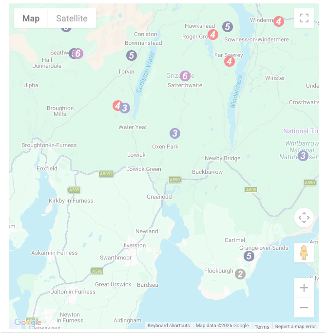
Interactive Map of Walks in The Southern Marches area of The Lake District
 How to Load this interactive map: Due to usage restrictions, you must be Registered and Logged-On to go4awalk.com to view and use the interactive Google Map below. You do not need to purchase any credits, but you must be Registered and Logged-On.
You can use these checkboxes to show only the grades of walk you are interested in:-
Fifteen easy-to-follow, circular, walk route maps in The Southern Marches area of The Lake District in Walk Grade Order
See this list of walks, routes & maps in:
Grade Order | Length Order | Time Order | Walk Number or Start Location Order
NB. To reverse (toggle) this order, click Grade Order again
Scroll down the list of walks below & click on each walk title (in blue) to locate it on the map above.

   |
Vital Statistics:
| Length: | 4.75 miles (7.5 km) |
| Ascent: | 945 ft (288 m) |
| Time: | 2.75 hrs |
| Grade: |  |

Route Summary:
Witherslack Hall School - Black Yews Scar - Flodder Allotment - Lord's Seat (Whitbarrow Scar) - Farrar's Allotment - Whitbarrow Scar - Buckhouse Wood - Beck Head (Witherslack) - Witherslack Hall School


|
Vital Statistics:
| Length: | 8.5 miles (13.5 km) |
| Ascent: | 1,644 ft (501 m) |
| Time: | 4.75 hrs |
| Grade: |  |

Route Summary:
Far Sawrey - Mitchell Knotts - Low Pate Crag - Claife Heights (High Blind How) - The Heald - High Moss - Belle Grange Beck - Long Height - Latterbarrow - High Wray - Red Nap Car Park - Lake Windermere - Belle Grange Bay - Bark Barn Ferry - Slape Scar - Strawberry Gardens - Far Sawrey

|
Vital Statistics:
| Length: | 4.75 miles (7.5 km) |
| Ascent: | 945 ft (288 m) |
| Time: | 2.75 hrs |
| Grade: | |
Route Summary:
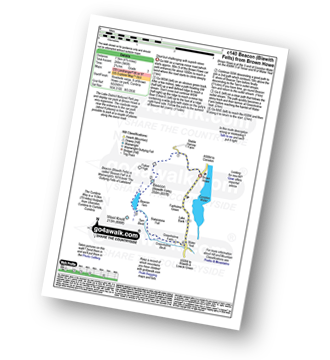
Brown Howe Car Park - Coniston Water - Beacon (Blawith Fells) - Beacon Tarn - Tarn Beck - Slaterstone Fell - Greenholme Farm - Water Yeat - Lake Bank - Fairholme Green - Brown Howe - Coniston Water.

|
Vital Statistics:
| Length: | 11 miles (17.5 km) |
| Ascent: | 2,310 ft (704 m) |
| Time: | 6.25 hrs |
| Grade: |  |
Route Summary:
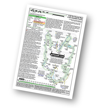
Grizedale Forest Visitor Centre - Silurian Way - Priest Wood - Ridding Wood - Braithwaite Plantation - Potato Peg Plantation - Grisedale Tarn - The Connob - Low Scar Wood - Beck Side Intake - Great Wood - New South Wales Plantation - Breasty Haw - Lawrence Scar Wood - Dale Park Scar - Blind Lane Wood - Force Knott - Swainsley Hill - Force Beck - Farce Falls - Low Bowkerstead Hob Gill Plantation - Satterthwaite - Scale Green Wood - Scale Green Intake - Carron Crag - Park Plantation - Broad Piece - Grizedale Forest Visitor Centre

|
Vital Statistics:
| Length: | 7 miles (11 km) |
| Ascent: | 945 ft (288 m) |
| Time: | 3½ hrs |
| Grade: |  |
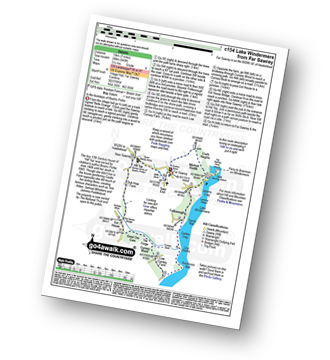
Route Summary:
Far Sawrey - Mitchell Knotts - Fellborough - Lake Windermere Shore - Rawlinson Nab - Low Cunsey Farm - Cunsey Wood - The Forge - Great Ore Gate - Cunsey Beck - Eel House Bridge - Dub How Farm - Near Sawrey - Hill Top (former Home of Beatrix Potter) - Wilfin Beck - Far Sawrey

|
Vital Statistics:
| Length: | 5.5 miles (9 km) |
| Ascent: | 1,706 ft (520 m) |
| Time: | 3.75 hrs |
| Grade: | |
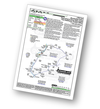
Route Summary:
Seathwaite (Duddon Valley) - Newfield Wood - Dobby Shaw - New Close - How Scale Haw - Old Park Beck - Broadslack - Caw (Dunnerdale Fells) - Pikes (Caw) - Green Pikes (Caw) - Dawson Pike - Walna Scar Road - Broad Haws - Hollin House Haw - Tarn Beck - Seathwaite (Duddon Valley)

|
Vital Statistics:
| Length: | 10 miles (16 km) |
| Ascent: | 1,364 ft (416 m) |
| Time: | 5 hrs |
| Grade: | |
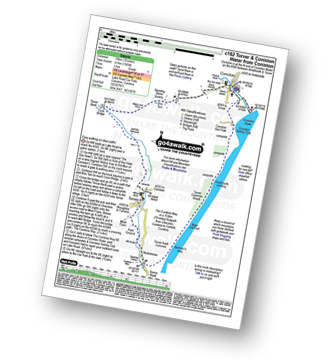
Route Summary:
Coniston - Walna Scar Road - Banishead - Torver Beck - Torver - Beckstones - The Cumbria Way - Coniston Water - Coniston Sailing Club - Coniston Hall - Coniston

|
Vital Statistics:
| Length: | 6 miles (9.5 km) |
| Ascent: | 699 ft (213 m) |
| Time: | 2.75 hrs |
| Grade: | |
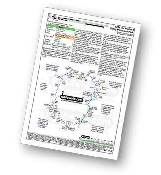
Route Summary:
Oxen Park - Furness - Abbot Park - Lord Ling - The Riggs - High Ickenthwaite - Low Ickenthwaite - Big Plantation - Glass Knott - The Syke - Rusland Cross - Rusland Hall - Rusland Moss Nature Reserve - Hulleter Moss - Low Hay Bridge Nature Reserve - Crooks Pastures - Black Knotts Plantation - Moss Wood - Oxen Park

|
Vital Statistics:
| Length: | 7.5 miles (12 km) |
| Ascent: | 787 ft (240 m) |
| Time: | 3½ hrs |
| Grade: | |

Route Summary:
Windermere - Ellery Woods - Orrest Head - Near Orrest Farm - Mislet Farm - Heaning Farm - Blackmoss Farm - School Knott Plantation - School Knott - The Dales Way - High Cleabarrow Farm - Matson Ground - Heaththwaite Manor - Windermere

|
Vital Statistics:
| Length: | 6.5 miles (10.5 km) |
| Ascent: | 1,453 ft (443 m) |
| Time: | 4 hrs |
| Grade: | |

Route Summary:
Seathwaite (Duddon Valley) - Hollin House Haw - Tarn Beck - Worm How - Trountal Tongue - Throng Close - Foss How - Brow Side - Pike How - Birks Bridge - Birks Farm Field Centre - Dunnerdale Forest - Grassguards Farm - Basin Barrow - Rowantree How - Wallowbarrow Crag - Wallowbarrow Farm - Seathwaite (Duddon Valley)

|
Vital Statistics:
| Length: | 3.75 miles (6 km) |
| Ascent: | 309 ft (94 m) |
| Time: | 1.75 hrs |
| Grade: |  |
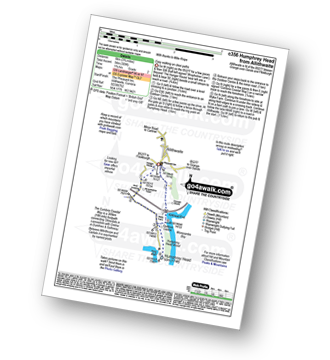
Route Summary:
Allithwaite - Wraysholme Tower - The Cumbria Coastal Way - Humphrey Head - Humphrey Head Wood - Wyke Farm - Kirkhead End - Allithwaite

|
Vital Statistics:
| Length: | 7 miles (11 km) |
| Ascent: | 2,422 ft (738 m) |
| Time: | 5 hrs |
| Grade: | |
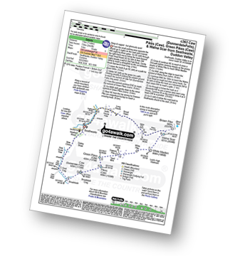
Route Summary:
Seathwaite (Duddon Valley) - Newfield Wood - Dobby Shaw - New Close - How Scale Haw - Old Park Beck - Broadslack - Caw (Dunnerdale Fells) - Pikes (Caw) - Green Pikes (Caw) - Dawson Pike - White Pike - White Maiden - Walna Scar - Walna Scar Road - Broad Haws - Hollin House Haw - Tarn Beck - Seathwaite (Duddon Valley)

|
Vital Statistics:
| Length: | 7.25 miles (11.5 km) |
| Ascent: | 896 ft (273 m) |
| Time: | 3½ hrs |
| Grade: | |

Route Summary:
Hawkshead - Colthouse - Long Height - Holland Band Plantation - Wise Een Tarn - Scale Tarn - Moss Eccles Tarn - Stones Lane - Near Sawrey - Hill Top (former Home of Beatrix Potter) - Ees Bridge - Esthwaite Tarn - Howe Farm - Roger Ground - Hawkshead

|
Vital Statistics:
| Length: | 6.25 miles (10 km) |
| Ascent: | 1,382 ft (421 m) |
| Time: | 4 hrs |
| Grade: | |
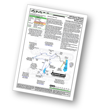
Route Summary:
Brown Howe Car Park - Coniston Water - Beacon (Blawith Fells) - Beacon Tarn - Tarn Beck - The Cumbria Way - Wool Knott - Fisher High - Rattan Haw - Yew Bank (Blawith Fells) - Stable Harvey Moss - Brown Howe - Coniston Water.

|
Vital Statistics:
| Length: | 10.25 miles (16.5 km) |
| Ascent: | 1,375 ft (419 m) |
| Time: | 5.25 hrs |
| Grade: | |
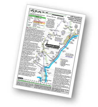
Route Summary:
Grange-over-Sands - Eggerslack Wood - Hampsfell - Fell End - High Fell Gate Farm - Allithwaite - Wraysholme Tower - The Cumbria Coastal Way - Humphrey Head - Humphrey Head Wood - Wyke Farm - Kirkhead End - Allithwaite - Kents Bank - Morecambe Bay - Grange-over-Sands
See this list of walks, routes & maps in:
Grade Order | Length Order | Time Order | Walk Number or Start Location Order
NB. To reverse (toggle) this order, click Grade Order again