46 walks in The Western Fells area of The Lake District
Forty-six easy-to-follow, hand-crafted walks including routes from Buttermere, Ennerdale Water, Honister, Loweswater, Seathwaite & Seatoller that climb Great Gable (the highest point), Haystacks, High Style, Kirk Fell & Pillar amongst others. More details about each walk can be found below the map.
The Western Fells area of The Lake District National Park
- The edge of The Lake District National Park from Egremont to Cockermouth to the North West
- Lorton Vale, Crummock Water, Buttermere and Honister Pass to the North East
- Sty Head Pass and Wasdale to the South East
- An imaginary line from the Southern Tip of Wast Water to Egremont to the South West
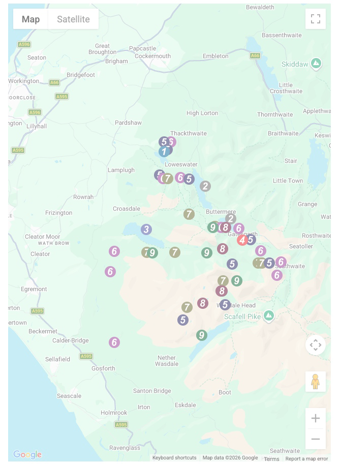
Interactive Map of Walks in The Western Fells area of The Lake District
![]() How to Load this interactive map: Due to usage restrictions, you must be Registered and Logged-On to go4awalk.com to view and use the interactive Google Map below. You do not need to purchase any credits, but you must be Registered and Logged-On.
How to Load this interactive map: Due to usage restrictions, you must be Registered and Logged-On to go4awalk.com to view and use the interactive Google Map below. You do not need to purchase any credits, but you must be Registered and Logged-On.
You can use these checkboxes to show only the grades of walk you are interested in:-
Forty-six easy-to-follow, circular, walk route maps in The Western Fells area of The Lake District in Walk Grade Order
See this list of walks, routes & maps in:
Grade Order | Length Order | Time Order | Walk Number or Start Location Order
NB. To reverse (toggle) this order, click Grade Order again
Scroll down the list of walks below & click on each walk title (in blue) to locate it on the map above.
Route Summary:
Wasdale Head - Mosedale Beck - Black Sail Pass - Looking Stead (Pillar) - High Level Route - Robinson's Cairn - Pillar - Wind Gap - Black Crag (Pillar) - Scoat Fell (Little Scoat Fell) - Steeple - Red Pike (Wasdale) - Dore Head - Yewbarrow (North Top) - Yewbarrow - Dropping Crag - Bell Rib - Over Beck - Wasdale Head - Wast Water.
Route Summary:
Seathwaite (Borrowdale) - Stockley Bridge - Styhead Tarn - Sty Head - Great Gable - Westmorland Cairn - Windy Gap - Green Gable - Mitchell Cove - Blackmoor Pols - Base Brown - Gillercomb - Sour Milk Gill (Borrowdale) - Seathwaite (Borrowdale)
Route Summary:
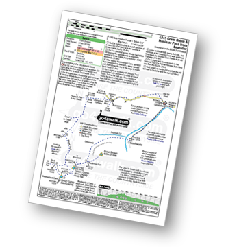
Bowness Knott Car Park Ennerdale - Low Gillerthwaite Field Centre - High Gillerthwaite Yourth Hostel - Red Pike (Buttermere) - High Stile - High Crag (Buttermere) - Seat (Buttermere) - Scarth Gap - Hay Stacks (Haystacks) - Innominate Tarn - Blackbeck Tarn - Black Beck - Green Crag (Buttermere) - Great Round How - Brandreth - Gillercomb Head - Green Gable - Windy Gap - Great Gable - Westmorland Cairn - Beck Head - Beckhead Tarn - Kirk Fell (East Top) - Kirk Fell - Black Sail Pass - Looking Stead (Pillar) - High Level Route - Robinson's Cairn - Pillar - Wind Gap - Black Crag (Pillar) - High Beck - Low Beck - Ennerdale.
Route Summary:
Bowness Knott Car Park Ennerdale Water - Char Dub - Silver Cove Beck - Woundell Beck - Caw Fell - Little Gowder Crag - Haycock - Great Scoat Fell - Scoat Fell (Little Scoat Fell) - Steeple - Long Crag - Moss Dub - Lingmell Plantation - Bowness Knott Car Park Ennerdale Water.
Route Summary:
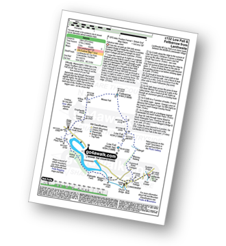
Lanthwaite - Acorn Cottage - Crummockwater Cottages and Foulsyke - Pottergill - Raven Crag (Low Fell) - Low Fell - Low Fell (South Top) - Fellbarrow - Mosser Fell - Wilkes How - Waterend Youth Hostel - Hudson Place Farm - Holme Wood - Watergate Farm - Maggie's Bridge (Loweswater) - Loweswater - Lanthwaite
Route Summary:
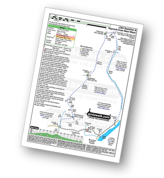
Greendale Farm - Middle Fell (Wasdale) - Seatallan - Pots of Ashness - Gowder Crag - Haycock - Great Scoat Fell - Steeple - Scoat Fell (Little Scoat Fell) - Red Pike (Wasdale) - Dore Head - Yewbarrow (North Top) - Yewbarrow - Bell Rib - Dropping Crag - Overbeck Bridge - Wast Water - Greendale Farm
Route Summary:
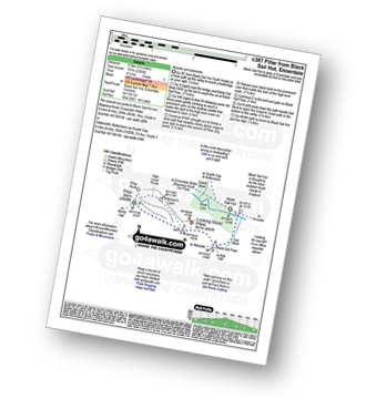
Wasdale Head - Moses' Trod - Lingmell Beck - Gable Beck Bridge - Sty Head - Great Gable - Westmorland Cairn - Beck Head - Beckhead Tarn - Kirk Fell (East Top) - Kirk Fell - Black Sail Pass - Looking Stead (Pillar) - High Level Route - Robinson's Cairn - Pillar - Wind Gap - Black Crag (Pillar) - Scoat Fell (Little Scoat Fell) - Steeple - Red Pike (Wasdale) - Dore Head - Mosedale Beck - Wasdale Head - Wast Water.
Route Summary:
Honister Pass - Honister Hause - Green Crag (Buttermere) - Black Beck - Blackbeck Tarn - Innominate Tarn - Hay Stacks (Haystacks) - Scarth Gap - Ennerdale - River Liza - Black Sail Hut (Youth Hostel) - Black Sail Path - Kirk Fell - Kirk Fell (East Top) - Beckhead Tarn - Beck Head - Great Gable - Westmorland Cairn - Windy Gap - Green Gable - Gillercomb Head - Brandreth - Grey Knotts - Honister Hause.
Route Summary:
Buttermere - Gatesgarth - Peggy's Bridge - Scarth Gap Pass - Scarth Gap - Black Sail Hut (Youth Hostel) - Black Sail Pass - Looking Stead (Pillar) - High Level Route - Robinson's Cairn - Pillar - Wind Gap - Black Crag (Pillar) - High Beck - Ennerdale - Scarth Gap Pass - Peggy's Bridge - Gatescarth - Buttermere
Route Summary:
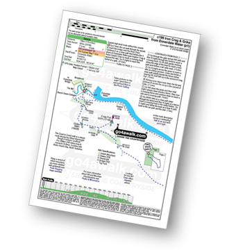
Ennerdale Weir - Ennerdale Water - Silver Cove Beck - Woundell Beck - Caw Fell - Silver Cove - Iron Crag - Crag Fell - Grike - Ennerdale Weir
Route Summary:
Maggie's Bridge (Loweswater) - Acorn Cottage - Crummockwater Cottages and Foulsyke - Pottergill - Raven Crag (Low Fell) - Low Fell - Low Fell (South Top) - Crabtree Beck - Darling Fell - Loweswater - Waterend Youth Hostel - Hudson Place Farm - Holme Wood - Watergate Farm - Maggie's Bridge (Loweswater)
Route Summary:
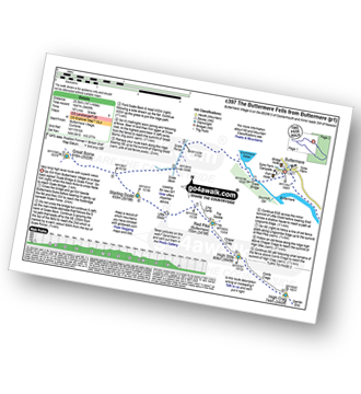
Buttermere - Sourmilk Gill - Bleaberry Tarn - Dodd (Buttermere) - The Saddle - Red Pike (Buttermere) - High Stile - High Crag (Buttermere) - Gamlin End - Seat (Buttermere) - Scarth Gap - Peggy's Bridge - Burtness Wood - Buttermere
Route Summary:
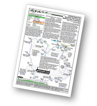
Maggie's Bridge (Loweswater) - Loweswater - High Nook Farm - Highnook Beck - Holme Wood - Holme Beck - Burnbank Fell - Sharp Knott - Blake Fell - Fothergill Head - Gavel Fell - Grain Gill - Whiteoak Moss - Hen Comb - Thrang Crags - Mosedale (Loweswater) - Mosedale Beck (Loweswater) - Mellbreak - Mellbreak (North Top) - White Crag - Loweswater Village - Maggie's Bridge (Loweswater)
Route Summary:
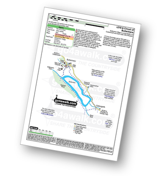
Buttermere - Dalegarth - Hassnesshow Beck - Gatesgarth - Black Beck - Peggy's Bridge - Burtness Wood - Buttermere
Route Summary:
Buttermere - Great Wood - Wood House - Crummock Water - Hause Point - Rannerdale Bridge - Cinderdale Common - Lanthwaite Green - High Wood - Lanthwaite Wood - River Cocker - Park Beck - Iron Stone - Low Ling Crag - Scale Bridge - Buttermere
Route Summary:
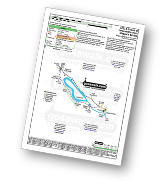
Maggie's Bridge (Loweswater) - High Thrushbank - Loweswater - Waterend Youth Hostel - Hudson Place Farm - Holme Wood - Watergate Farm - Maggie's Bridge (Loweswater)
Route Summary:
Buttermere - Gatesgarth - Warnscale Bottom - Warnscale Beck - Green Crag (Buttermere) - Black Beck - Blackbeck Tarn - Innominate Tarn - Hay Stacks (Haystacks) - Scarth Gap - Burtness Wood - Buttermere
Route Summary:
Wasdale Head - Kirk Fell - Kirk Fell (East Top) - Black Sail Pass - Looking Stead (Pillar) - High Level Route - Robinson's Cairn - Pillar - Wind Gap - Black Crag (Pillar) - Scoat Fell (Little Scoat Fell) - Steeple - Red Pike (Wasdale) - Dore Head - Mosedale Beck - Wasdale Head - Wast Water.
Route Summary:
Seatoller - Seathwaite (Borrowdale) - Sourmilk Gill (Borrowdale) - Gillercomb - Blackmoor Pols - Mitchell Cove - Green Gable - Windy Gap - Great Gable - Westmorland Cairn - Beck Head - Beckhead Tarn - Moses' Trod - Honister Pass - Honister Hause - Wainwright's Coast to Coast Walk - Seatoller
Route Summary:
Bowness Knott Car Park - Bowness Plantations - River Liza - Ennerdale Water - Coast To Coast Path - Robin Hood's Chair - Anglers' Crag - Ennerdale Weir - River Ehen - Ennerdale Water - Bowness Knott Car Park
Route Summary:
Buttermere - Scale Force - Scale Beck - Blea Crag - Lingcomb Edge - Red Pike (Buttermere) - High Stile - High Crag (Buttermere) - Gamlin End - Seat (Buttermere) - Scarth Gap - Burtness Wood - Sourmilk Gill - Buttermere
Route Summary:
Ennerdale Weir - Ennerdale Water - Silver Cove Beck - Woundell Beck - Little Gowder Crag - Haycock - Caw Fell - Silver Cove - Iron Crag - Whoap - Lank Rigg - Crag Fell - Grike - Ennerdale Weir
Route Summary:
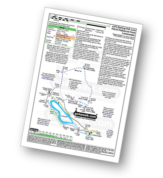
Maggie's Bridge (Loweswater) - Loweswater - Darling Fell - Crabtree Beck - Low Fell (South Top) - Low Fell - Fellbarrow - Mosser Fell - Wilkes How - Waterend Youth Hostel - Hudson Place Farm - Holme Wood - Watergate Farm - Maggie's Bridge (Loweswater)
Route Summary:
Buttermere - Scale Force - Scale Beck - Blea Crag - Lingcomb Edge - Red Pike (Buttermere) - High Stile - High Crag (Buttermere) - Gamlin End - Seat (Buttermere) - Scarth Gap - Hay Stacks (Haystacks) - Innominate Tarn - Blackbeck Tarn - Black Beck - Green Crag (Buttermere) - Warnscale Beck - Warnscale Bottom - Gatesgarth - Buttermere
Route Summary:
Buttermere - Gatesgarth - Peggy's Bridge - Buttermere - Scarth Gap - Hay Stacks (Haystacks) - Innominate Tarn - Blackbeck Tarn - Black Beck - Green Crag (Buttermere) - Warnscale Beck - Dubs Hut - Dubs Quarry - Fleetwith Pike - Honister Crag (Black Star) - Fleetwith Pike - Fleetwith Edge - Gatesgarth - Buttermere
Route Summary:
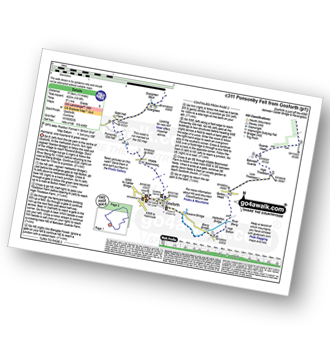
Gosforth - Rowend Bridge - River Bleng - Bleng Bridge - Hall Bolton - Bolton Head - Low Thistleton Farm - High Thistleton Farm - Guards Head Farm - Hollow Moor - Brown Edge - Blengdale Forest - River Bleng - Scalderskew Beck - Ponsonby Fell - Scargreen Farm - Gidd Hall Farm - Ponsonby Old Hall - Middle Boonwood - Gosforth
Route Summary:
Buttermere - Sourmilk Gill - Bleaberry Tarn - Dodd (Buttermere) - The Saddle - Red Pike (Buttermere) - Ling Comb - Little Dodd (Ennerdale) - Starling Dodd - Great Borne - Floutern Tarn - Black Beck (Mosedale) - Blea Crag - Scale Force - Scale Beck (Crummock Water) - Crummock Water - Buttermere Dubs - Buttermere
Route Summary:
Greendale Farm - Gill Farm - Gill Beck - Buckbarrow - Glade How - Cat Bields - Nether Wasdale Common - Seatallan - Pots of Ashness - Windscale Hows - Middle Fell (Wasdale) - Greendale Gill - Greendale Farm
Route Summary:
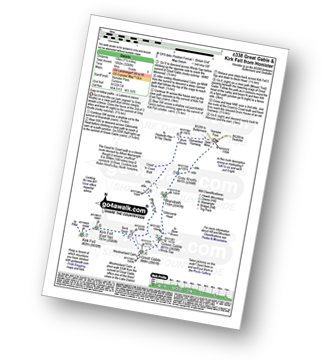
Honister Pass - Honister Hause - Grey Knotts - Brandreth - Green Gable - Windy Gap - Great Gable - Westmorland Cairn - Beck Head - Beckhead Tarn - Kirk Fell (East Top) - Kirk Fell - Moses' Trod - Wainwright's Coast to Coast Walk - Honister Pass
Route Summary:
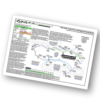
Scaly Moss - Blackely Moss - Heckbarley Wood - Red Moss - Grike - Crag Fell - Black Pots - Whoap - Lank Rigg - Whoap Beck - Lankrigg Moss - Stinking Gill - Blackeley Raise - Whorl Gill - Scaly Moss
Route Summary:
Wasdale Head - Mosedale Beck - Black Sail Pass - High Level Route - Robinson's Cairn - Pillar - Wind Gap - Black Crag (Pillar) - Scoat Fell (Little Scoat Fell) - Red Pike (Wasdale) - Dore Head - Over Beck - Wasdale Head - Wast Water.
Route Summary:
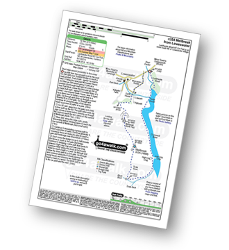
Lanthwaite - Scale Hill - Scalehill Bridge - Muncaster House - Loweswater - Low Park - Mellbreak (North Top) - Mellbreak - Black Beck (Mosedale) - Scale Knott - Scale Beck - High Ling Crag - Low Ling Crag - Crummock Water - Lanthwaite
Route Summary:
Greendale Farm - Gill Farm - Buckbarrow - Seatallan - Pots of Ashness - Gowder Crag - Haycock - Little Lad Crag - Nether Beck - Wast Water - Wasdale - Greendale Farm
Route Summary:
Wasdale Head - Mosedale Beck - Dore Head - Yewbarrow (North Top) - Yewbarrow - Bell Rib - Dropping Crag - Over Beck - Overbeck Bridge - Wasdale Head - Wast Water.
Route Summary:
Black Sail Hut (Youth Hostel) - Ennerdale - Black Sail Beck - Black Sail Pass - Looking Stead (Pillar) - Pillar - Black Sail Pass - Black Sail Beck - Black Sail Hut (Youth Hostel) - Ennerdale.
Route Summary:
Buttermere - Scale Force - Scale Beck - Blea Crag - Great Borne - Starling Dodd - Little Dodd (Ennerdale) - Ling Comb - Lingcomb Edge - Red Pike (Buttermere) - Dodd (Buttermere) - Red Pike (Buttermere) - High Stile - High Crag (Buttermere) - Gamlin End - Seat (Buttermere) - Scarth Gap - Hay Stacks (Haystacks) - Innominate Tarn - Blackbeck Tarn - Black Beck - Green Crag (Buttermere) - Warnscale Beck - Dubs Hut - Dubs Quarry - Fleetwith Pike - Honister Crag (Black Star) - Fleetwith Pike - Fleetwith Edge - Gatesgarth - Buttermere
Route Summary:
Friar Well - Friar Gill - River Calder - Tongue How - Town Bank - Lank Rigg - Whoap - Whoap Beck - Stinking Gill - Lankrigg Moss - Latterbrow Moss - Latterbrow Beck - Friar Well
Route Summary:
Buttermere - Gatesgarth - Peggy's Bridge - Buttermere - Scarth Gap - Hay Stacks - Innominate Tarn - Hay Stacks (Haystacks) - Scarth Gap - Peggy's Bridge - Gatesgarth - Buttermere
Route Summary:
Buttermere - Buttermere Dubbs - Scale Bridge - Scale Force - Scale Beck - Blea Crag - Lingcomb Edge - Ling Comb - Little Dodd (Ennerdale) - Starling Dodd - Great Borne - Floutern Tarn - Black Beck (Mosedale) - Scale Force - Scale Beck (Crummock Water) - Crummock Water - Buttermere
Route Summary:
Maggie's Bridge (Loweswater) - Loweswater - High Nook Farm - Highnook Beck - Holme Wood - Holme Beck - Burnbank Fell - Sharp Knott - Blake Fell - Fothergill Head - Gavel Fell - Grain Gill - Whiteoak Moss - Hen Comb - Little Dodd (Loweswater Fell) - Mosedale (Loweswater) - Mosedale Beck (Loweswater) - Loweswater Village - Maggie's Bridge (Loweswater)
Route Summary:
Honister Pass - Honister Hause - Grey Knotts - Brandreth - Blackmoor Pols - Base Brown - Mitchell Cove - Green Gable - Windy Gap - Great Gable - Westmorland Cairn - Beck Head - Beckhead Tarn - Kirk Fell (East Top) - Kirk Fell - Moses' Trod - Wainwright's Coast to Coast Walk - Honister Pass
Route Summary:
Maggie's Bridge (Loweswater) - Loweswater - Kirkgate Farm - Raven Crag - White Crag - Mellbreak (North Top) - Mellbreak - Mosedale Beck (Loweswater) - Thrang Crags - Hen Comb - Little Dodd (Loweswater Fell) - Mosedale Beck (Loweswater) - Kirkgate Farm - Loweswater - Maggie's Bridge (Loweswater)
Route Summary:
Wasdale Head - (National Trust Campsite) - Wast Water - Lingmell Gill - Illgill Head - Whin Rigg - Greathall Gill - Low Wood - Lund Bridge - Woodhow Farm - Woodhow Tarn - Scale Farm - Tosh Tarn - Gill Farm - Gill Beck - Buckbarrow - Cold Well - Nether Wasdale Common - Seatallan - Windscale Hows - Middle Fell (Wasdale) - Greendale Farm - Nether Beck - Overbeck Bridge - Wasdale Head - Wast Water.
Route Summary:
Honister Pass - Honister Hause - Grey Knotts - Brandreth - Green Gable - Windy Gap - Great Gable - Westmorland Cairn - Beck Head - Beckhead Tarn - Moses' Trod - Wainwright's Coast to Coast Walk - Honister Pass
Route Summary:
Honister Pass - Honister Hause - Bell Crags - Hopper Quarry - Honister Quarries - Honister Crag (Black Star) - Burnt Scarth - Fleetwith Pike - Dubs Hut - Dubs Quarry - Warnscale Beck - Green Crag (Buttermere) - Blackbeck Tarn - Innominate Tarn - Hay Stacks (Haystacks) - Innominate Tarn - Loft Beck - Coast to Coast Walk - Brandreth - Grey Knotts - Honister Hause.
Route Summary:
Maggie's Bridge (Loweswater) - Loweswater - High Nook Farm - Highnook Beck - Holme Wood - Burnbank Fell - Sharp Knott - Blake Fell - Fothergill Head - Gavel Fell - Black Crag (Gavel Fell) - Highnook Beck - Maggie's Bridge (Loweswater)
See this list of walks, routes & maps in:
Grade Order | Length Order | Time Order | Walk Number or Start Location Order
NB. To reverse (toggle) this order, click Grade Order again
