UK Postcode YO42 - The 30 nearest easy-to-follow, circular walk route maps to you
The thirty nearest easy-to-follow, circular walk route maps to you in UK Postcode YO42 in Walk Grade Order
The UK cities, towns and villages in East Riding of Yorkshire, England that have YO42 in their UK Postcode include:
• Barmby Moor • Bielby • Everingham • Hayton • Huggate • Laytham • Melbourne • Meltonby • Pocklington • Storwood •
Not familiar with the area around YO42?
See these 30 nearest walks to UK Postcode YO42 on a google map

   |
Vital Statistics:
| Length: | 5.25 miles (8.5 km) |
| Ascent: | 380ft (116m) |
| Time: | 2.25hrs |
| Grade: |  |
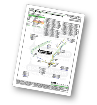
Route Summary:
Thornton-le-Dale - Hagg House - Howl Dale Wood - Howl Dale - Orchan Dale - Pexton Moor Plantation - Kirkdale Slack - Ellerburn - Thornton-le-Dale


|
Vital Statistics:
| Length: | 8.75 miles (14 km) |
| Ascent: | 590ft (180m) |
| Time: | 3.75hrs |
| Grade: |  |
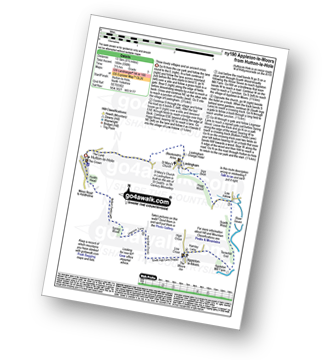
Route Summary:
Hutton-le-Hole - The Lund - Fairy Call Beck - High Cross Plain - Mary Magdalene Well - Lastingham - St Chad's Well - St Cedd's Well - Ings beck - Hagg Wood - Lower Askew - Birk Head - Scarth Wood - Tenterhill End - Appleton Mill Farm - The Tabular Hills Walk - Hamley Lane - Appleton-le-Moors - South Ings Lane (Track) - Ings Balk (Track) - Lingmoor Lane (Track) - Spring Wood - Bottom Fields Lane - Austin Head - Hutton-le-Hole

|
Vital Statistics:
| Length: | 8.5 miles (13.5 km) |
| Ascent: | 1,089ft (332m) |
| Time: | 4 hrs |
| Grade: | |

Route Summary:
Hutton-le-Hole - Lodge Road - Wheat Lund - Hutton Ridge - High Snapes - Loskey Beck - Loskey Ridge - Ana Cross - Spaunton Moor - Spring Heads Turn - Barker Slack - Lastingham Ridge - Lastingham - St Chad's Well - St Cedd's Well - Ings beck - Hagg Wood - Spaunton - Grange Farm - Austin Head - Hutton-le-Hole

|
Vital Statistics:
| Length: | 4.5 miles (7 km) |
| Ascent: | 623ft (190m) |
| Time: | 2.25hrs |
| Grade: |  |

Route Summary:
Hutton-le-Hole - The Lund - Fairy Call Beck - High Cross Plain - Mary Magdalene Well - Lastingham - St Chad's Well - St Cedd's Well - Ings Beck - Hagg Wood - Spaunton - Grange Farm - Austin Head - Hutton-le-Hole

|
Vital Statistics:
| Length: | 12.75 miles (20.5 km) |
| Ascent: | 1,056ft (322m) |
| Time: | 5.75hrs |
| Grade: |  |

Route Summary:
Hutton-le-Hole - Lodge Road - Wheat Lund - Hutton Ridge - High Snapes - Loskey Beck - Loskey Ridge - Ana Cross - Spaunton Moor - Spring Heads Turn - Barker Slack - Lastingham Ridge - Lastingham - St Chad's Well - St Cedd's Well - Ings beck - Hagg Wood - Lower Askew - Birk Head - Scarth Wood - Tenterhill End - Appleton Mill Farm - The Tabular Hills Walk - Hamley Lane - Appleton-le-Moors - South Ings Lane (Track) - Ings Balk (Track) - Lingmoor Lane (Track) - Spring Wood - Bottom Fields Lane - Austin Head - Hutton-le-Hole

|
Vital Statistics:
| Length: | 6.25 miles (10 km) |
| Ascent: | 1,355ft (413m) |
| Time: | 3.75hrs |
| Grade: | |
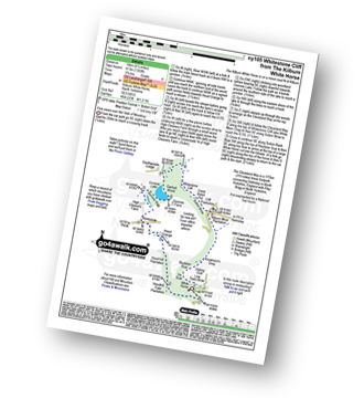
Route Summary:
Kilburn White Horse - Hoodhill Feld Plantation - Hood Hill Plantation - Hood Grange - Kennycow - High Cleavers Farm - Gormire Rigg - Gormire Lake - Southwoods Lodge - Garbutt Wood - The Cleveland Way - Whitestone Cliff - White Mare Crag - Great Relief Pot - Cliff Plantation - Sutton Brow - Sutton Bank - Knowlson's Drop - Roulston Scar - Ivy Scar - Kilburn White Horse

|
Vital Statistics:
| Length: | 6.75 miles (11 km) |
| Ascent: | 696ft (212m) |
| Time: | 3.25hrs |
| Grade: | |
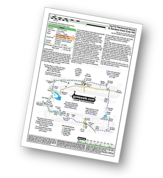
Route Summary:
Cote Hill - The Leeds Country Walk - Harewood Gardens - Lodge Hills - Nan Pie - Grey Stone Pasture - New Bridge - Piper Wood - Stub House Plantation - The Ebor Way - Carr House - Carr Wood - Stank - Harewood House - Home Farm - The Grove - Harewood - Maltkin House - New Laithe Farm - Cut Whin Wood - Hollin Hall - Hollin Hall Pnds - Wike Wood - Cote Hill

|
Vital Statistics:
| Length: | 5 miles (8 km) |
| Ascent: | 683ft (208m) |
| Time: | 2½ hrs |
| Grade: | |
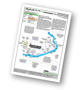
Route Summary:
South Landing - West Nook - RNLI Lifeboat Station - East Nook - Great Scars - South Cliff - Two Stones - New Fall - Old Fall Plantation - Flamborough Head - Cough Hole - High Stacks - Cattlemere Scar - South Cliff - South Landing

|
Vital Statistics:
| Length: | 7.75 miles (12.5 km) |
| Ascent: | 1,598ft (487m) |
| Time: | 4½ hrs |
| Grade: | |

Route Summary:
South Landing - West Nook - RNLI Lifeboat Station - East Nook - Great Scars - South Cliff - Two Stones - Cattlemere Scar - High Stacks - Cough Hole - Flamborough Head - Selwicks Bay - Cradle Head - Breil Nook - Carter Lane - East Scar - North Landing - High Holme - Thornwick Bay - North Cliff - Close Nook - Flamborough - South Landing

|
Vital Statistics:
| Length: | 6.5 miles (10.5 km) |
| Ascent: | 932ft (284m) |
| Time: | 3.25hrs |
| Grade: | |
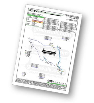
Route Summary:
Low Mill - Horn End Farm - Crow Wood - West Gill Beck - Westside Road (Track) - West Gill Head - Rudland Rigg - Dickon Howe - Monket House Bank (Track) - Monket House - Thorn Wath Bridge - Church Houses - High Mill - River Dove - Ferndale Nature Reserve - Low Mill

|
Vital Statistics:
| Length: | 5 miles (8 km) |
| Ascent: | 689ft (210m) |
| Time: | 2½ hrs |
| Grade: | |
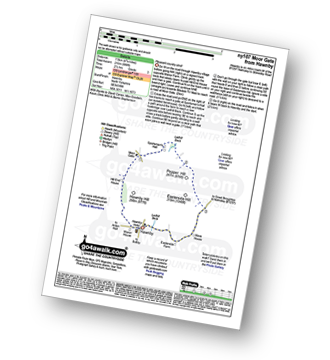
Route Summary:
Hawnby - Hill End House - Moor Gate - Sportsman's Hall - Ladhill Beck - Pepper Hill - Easterside Hill - Wass House - Easterside Farm - Ladhill Beck - Hawnby

|
Vital Statistics:
| Length: | 8.75 miles (14 km) |
| Ascent: | 1,398ft (426m) |
| Time: | 4½ hrs |
| Grade: | |
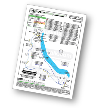
Route Summary:
Robin Hood's Bay - The Cleveland Way - Cowfield Hill - Boggle Hole - Stoupe Beck - Stoupe Bank Farm - Stoupebrow Cottage Farm - Ravenscar - Dismantled Railway - Stoupe Brow Farm - Home Farm - Brownside Farm - Howdale Wood - Alison Head Wood - Fyling Old Hall Farm - White House - Fylingthorpe - Robin Hood's Bay

|
Vital Statistics:
| Length: | 4.75 miles (7.5 km) |
| Ascent: | 880ft (268m) |
| Time: | 2.75hrs |
| Grade: | |

Route Summary:
Ilkley - The Dales Way - Grainings Head - Cowper's Cross - Whetstone Gate - Rombalds Moor (Ilkley Moor) - The Dales Way Link - Gill Head - Ilkley Crags - White Wells - Ilkley

|
Vital Statistics:
| Length: | 6.25 miles (10 km) |
| Ascent: | 935ft (285m) |
| Time: | 3.25hrs |
| Grade: | |
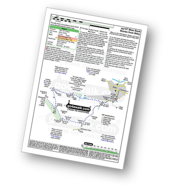
Route Summary:
Ilkley - The Dales Way - Swastika Stone - High Moor - Overgate Croft Farm. West Buck Stones - East Buck Stones - Cowper's Cross - Whetstone Gate - Ilkley Moor - Grainings Head - Ilkley

|
Vital Statistics:
| Length: | 7.75 miles (12.5 km) |
| Ascent: | 1,057ft (322m) |
| Time: | 4 hrs |
| Grade: | |

Route Summary:
Ilkley - The Dales Way - Swastika Stone - High Moor - Overgate Croft Farm - West Buck Stones - East Buck Stones - Cowper's Cross - Whetstone Gate - Rombalds Moor (Ilkley Moor) - The Dales Way Link - Gill Head - Ilkley Crags - White Wells - Ilkley
Not familiar with the area around YO42?
See these 30 nearest walks to UK Postcode YO42 on a google map

|
Vital Statistics:
| Length: | 9 miles (14.5 km) |
| Ascent: | 33ft (10m) |
| Time: | 3½ hrs |
| Grade: | |
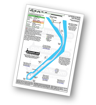
Route Summary:
Kilnsea - Spurn Head Peninsula - The Warren - Kilnsea Clays - Old Den - Greedy Gut - Low Light Lighthouse - Spurn Head - High Light Lighthouse - Stony Binks - Kilnsea

|
Vital Statistics:
| Length: | 6 miles (9.5 km) |
| Ascent: | 331ft (101m) |
| Time: | 2½ hrs |
| Grade: | |
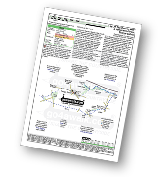
Route Summary:
Thorpe Salvin - Hawks Wood - The Cuckoo Way - Chesterfield Canal - Old Spring Wood - Turnerwood - Crow Wood - Thorpe Salvin

|
Vital Statistics:
| Length: | 7.25 miles (11.5 km) |
| Ascent: | 210ft (64m) |
| Time: | 3 hrs |
| Grade: | |

Route Summary:
Wharfedale - Bolton Abbey - The Dales Way - The River Wharfe - Wharfedale - Pickles Beck - Stead Dike - Posforth Gill - Black Sike - Bolton Abbey Aqueduct - Barden Bridge - Bolton Abbey Aqueduct - The Strid - Strid Wood - Cavendish Pavilion - Sand Holme - Bolton Priory - Bolton Abbey - Wharfedale

|
Vital Statistics:
| Length: | 8.25 miles (13 km) |
| Ascent: | 404ft (123m) |
| Time: | 3½ hrs |
| Grade: | |

Route Summary:
Harthill - Woodall - The Cuckoo Way - Kiveton Waters - Chesterfield Canal - Kiveton - Kiveton Park - Hawks Wood - Thorpe Salvin - Loscar Wood - Crow Wood - Harthill

|
Vital Statistics:
| Length: | 10 miles (16 km) |
| Ascent: | 515ft (157m) |
| Time: | 4½ hrs |
| Grade: | |

Route Summary:
Harthill - Woodall - The Cuckoo Way - Kiveton Waters - Chesterfield Canal - Kiveton - Kiveton Park - Hawks Wood - Old Spring Wood - Turnerwood - Brook House Top Farm - Top Hall Farm - Crow Wood - Harthill

|
Vital Statistics:
| Length: | 9 miles (14.5 km) |
| Ascent: | 1,234ft (376m) |
| Time: | 4½ hrs |
| Grade: | |
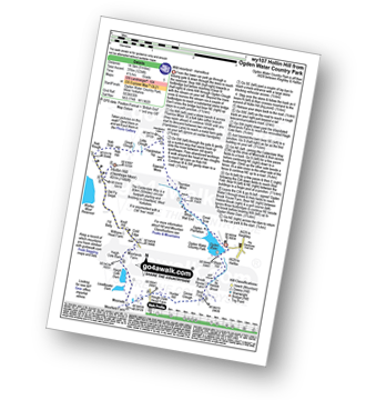
Route Summary:
Ogden Water Country Park - Ogden Water - Great Scar - White Wall End - Thornton Moor - Sawood Moss - Hambleton Top - Little Clough - Great Clough - Nab Hill - Nab Rough - Hollin Hill (Oxenhope Moor) - Old Fly Delph - Withens Head Farm - Cold Edge - Moorlands Farm - Haigh Cote Barn - Moorside - The Calderdale Way - Hough Gate Farm - Hunter Hill - Goose Clough - Stod Fold - Hebble Brook - Ogden Water - Ogden Water Country Park

|
Vital Statistics:
| Length: | 9 miles (14.5 km) |
| Ascent: | 1,805ft (550m) |
| Time: | 5.25hrs |
| Grade: |  |

Route Summary:
Wharfedale - Barden Bridge - The River Wharfe - Wharfedale - The Dales Way - The Strid. Strid Wood - Waterfall Cottage - Posforth Gill - Valley of Desolation - Laund Pasture Plantation - Smithyman Nook - Carncliff Top (Earl Seat) - Nanny Crag - Truckle Crags - Simon's Seat (Wharfedale) - Dalehead Farm - Eastwood Head - Howgill Lodge - The Dales Way - The River Wharfe - Barden Bridge - Wharfedale

|
Vital Statistics:
| Length: | 4.5 miles (7 km) |
| Ascent: | 407ft (124m) |
| Time: | 2 hrs |
| Grade: | |
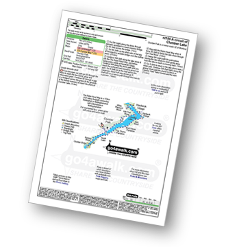
Route Summary:
Clumber Park - Clumber Lake - Nursery Wood - Clumber Bridge - South Lawn - Five Thorns Plantation - Boat House Plantation - Tank Wood - Hardwick Grange - Hardwick Village - White Pleasant Wood - Ash Tree Wood - Clumber Park

|
Vital Statistics:
| Length: | 3.75 miles (6.5 km) |
| Ascent: | 673ft (205m) |
| Time: | 2.25hrs |
| Grade: | |
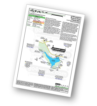
Route Summary:
Langsett Barn - Langsett - Langsett Reservoir Dam - Upper Midhope - Thickwoods - Thickwoods Brook - North America Farm - Delf Edge - Langsett Reservoir - The Porter or Little Don River - Crookland Wood - Langsett Reservoir - Langsett Barn

|
Vital Statistics:
| Length: | 7.5 miles (12 km) |
| Ascent: | 1,118ft (360m) |
| Time: | 4 hrs |
| Grade: | |

Route Summary:
Langsett Barn - Langsett - Langsett Reservoir - Langsett Reservoir Dam - Upper Midhope - Thickwoods - Thickwoods Brook - Fenny Common Ings - Fenny Common - Pike Lowe Stones - Pike Lowe - Candlerush Edge - Sugden Top - Lost Lad (Langsett) - Mickleden Edge (Langsett) - Haslingshaw Hingcliff Common - Delf Edge - Langsett Reservoir - The Porter or Little Don River - Crookland Wood - Langsett Reservoir - Langsett Barn

|
Vital Statistics:
| Length: | 11.5 miles (18.5 km) |
| Ascent: | 1,674ft (510m) |
| Time: | 6 hrs |
| Grade: | |
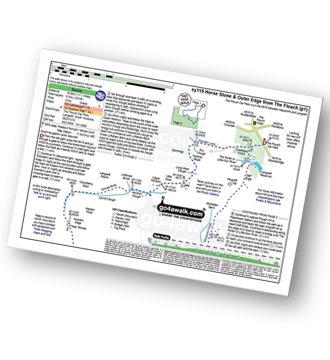
Route Summary:
The Flouch Car Park - Crookland Wood - Swinden Lane - Fox Clough - Langsett Moors - Barmings - Hordron Road - Long Moor Clough - Hordron Clough - The Porter or Little Don River - Laund Clough - Harden Moor - Howden Edge - Hoar Stones - Horse Stone (Horse Stone Naze) - Stainery Clough Head - Howden Moors - Crow Stones - Crow Stones Edge - Outer Edge - Cut Gate End - Cut Gate Path - Mickleden Edge - Delf Edge - Langsett Reservoir - The Porter or Little Don River - The Flouch.

|
Vital Statistics:
| Length: | 6 miles (9.5 km) |
| Ascent: | 1,152ft (351m) |
| Time: | 3.25hrs |
| Grade: | |

Route Summary:
Holmfirth - Nora Batty's House and Sid's Cafe (Last of The Summer Wine) - Malkin Farm - River Holme - Hinchliffe Mill - Hogley Green - Hogley Farm - Upperthong - Netherthong - Holmfirth

|
Vital Statistics:
| Length: | 6.5 miles (10.5 km) |
| Ascent: | 1,178ft (359m) |
| Time: | 3½ hrs |
| Grade: | |
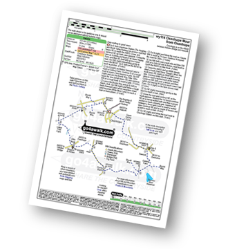
Route Summary:
Oxenhope - Oxenhope Station (The Keighley and Worth Valley Railway) - Upper Hayley Farm - Sawood - Cobling Farm - The Bronte Way - Thornton Moor Reservoir - Sunny Bank - Dike Nook - Lower Fold Farm - Oxenhope

|
Vital Statistics:
| Length: | 6.5 miles (10.5 km) |
| Ascent: | 647ft (197m) |
| Time: | 3 hrs |
| Grade: | |

Route Summary:
Nidderdale - Scar House Reservoir - River Nidd - Nidderdale - Carle Fell Road (Track) - Stand Sike - Wench Gill - Angram Reservoir - Pudding Hill - West House Pasture - Angram Low Pasture - Stone Beck - Scar House Reservoir - Nidderdale

|
Vital Statistics:
| Length: | 4.75 miles (7.5 km) |
| Ascent: | 571ft (174m) |
| Time: | 2.25hrs |
| Grade: | |
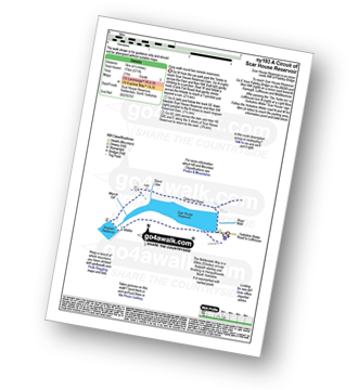
Route Summary:
Nidderdale - Scar House Reservoir - River Nidd - Nidderdale - Carle Fell Road (Track) - Stand Sike - Wench Gill - Angram Reservoir - Scar House Reservoir - Nidderdale
Not familiar with the area around YO42?
See these 30 nearest walks to UK Postcode YO42 on a google map