   |
Vital Statistics:
| Length: | 9mls (14.5km) |
| Ascent: | 1,805ft (550m) |
| Time: | 5¼hrs |
| Grade: |  |

Route outline for walk ny121:
Wharfedale - Barden Bridge - The River Wharfe - Wharfedale - The Dales Way - The Strid. Strid Wood - Waterfall Cottage - Posforth Gill - Valley of Desolation - Laund Pasture Plantation - Smithyman Nook - Carncliff Top (Earl Seat) - Nanny Crag - Truckle Crags - Simon's Seat (Wharfedale) - Dalehead Farm - Eastwood Head - Howgill Lodge - The Dales Way - The River Wharfe - Barden Bridge - Wharfedale
Peaks, Summits and Tops reached on this walk:
 0 English Mountains |
 0 Wainwrights |
 0 English Nuttalls |
 0 English Deweys |
 0 Wainwright Outlying Fells |
 0 Marilyns |
 2 Bridgets |
Peak Bagging Statistics for this walk:
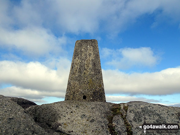
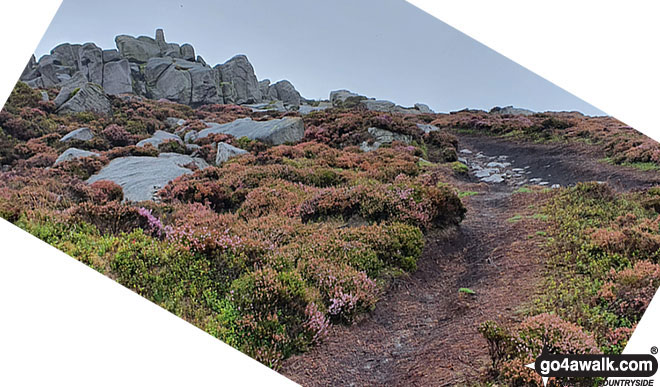
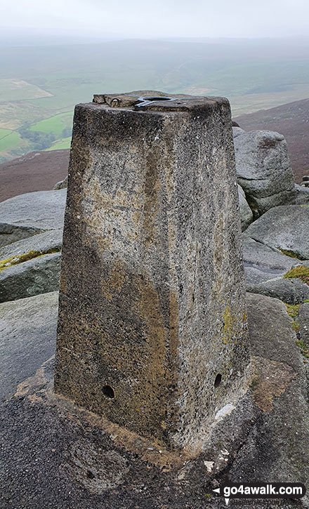
The highest point of this walk is Simon's Seat (Wharfedale) at 485m (1591ft). Simon's Seat (Wharfedale) is known as an English Bridget. The summit of Simon's Seat (Wharfedale) is marked by an Ordnance Survey Trig Point.
Completing this walk will also take you to the top of Carncliff Top (Earl Seat) at 449m (1473ft). Carncliff Top (Earl Seat) is known as an English Bridget.
National Trails & Long Paths included on this walk:
Part of this walk follows a section of The Dales Way, a 130km (81 miles) linear footpath connecting Ilkley in West Yorkshire, England with Bowness-On-Windermere in Cumbria, England. The Dales Way is waymarked by named posts. For more walks that include a section of this trail see The Dales Way.
Free-to-access Interactive Walk Planning Maps:
1:25,000 scale OS Explorer Map (orange/yellow covers):
1:50,000 scale OS Landranger Map (pink/magenta covers):
An Interactive Walk Planning Map for OS Landranger 104 Leeds & Bradford, Harrogate & Ilkley is not currently available
Some Photos and Pictures from Walk ny121 Simon's Seat from Barden Bridge, Wharfedale
In no particular order . . .


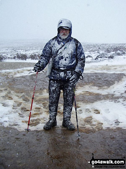
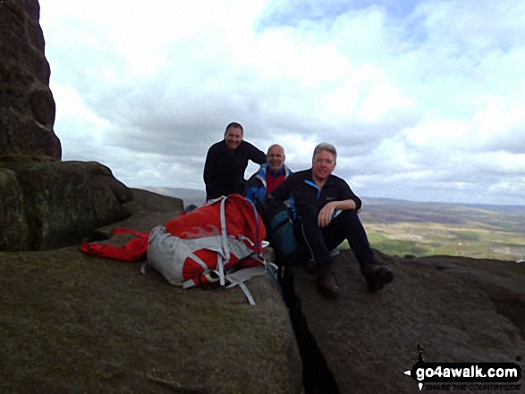
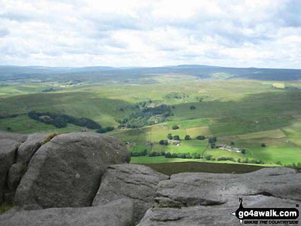
Simon's Seat (Wharfedale) summit from the West - the figures (middle right) give a sense of scale
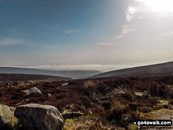
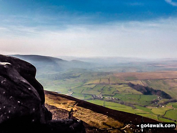
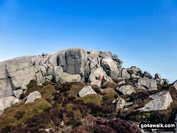
Looking SSE from the summit of Simon's Seat (Wharfedale) - a thick mist lies over the lower fells in the distance
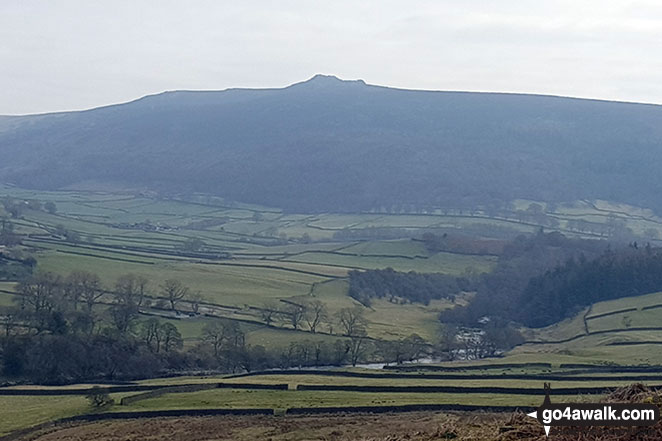
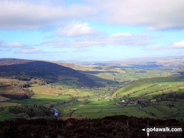
Carncliff Top (Earl Seat) from the B6160 (Intake Plantation area) looking SE with the River Wharfe in the valley
Send us your photographs and pictures from your walks and hikes
We would love to see your photographs and pictures from walk ny121 Simon's Seat from Barden Bridge, Wharfedale. Send them in to us as email attachments (configured for any computer) along with your name and where the picture was taken to:
and we shall do our best to publish them.
(Guide Resolution = 300dpi. At least = 660 pixels (wide) x 440 pixels (high).)

You can also submit photos from walk ny121 Simon's Seat from Barden Bridge, Wharfedale via our Facebook Page.
NB. Please indicate where each photo was taken.


