|
Vital Statistics:
| Length: | 7¾mls (12.5km) |
| Ascent: | 1,598ft (487m) |
| Time: | 4½hrs |
| Grade: |  |

Route outline for walk ey112:
South Landing - West Nook - RNLI Lifeboat Station - East Nook - Great Scars - South Cliff - Two Stones - Cattlemere Scar - High Stacks - Cough Hole - Flamborough Head - Selwicks Bay - Cradle Head - Breil Nook - Carter Lane - East Scar - North Landing - High Holme - Thornwick Bay - North Cliff - Close Nook - Flamborough - South Landing


Points of Interest/Notes on this walk:
The area of maritime grassland, south of Flamborough Lighthouse, is rich in summer flowers such as harebell, birds-foot trefoil, creeping Cinquefoil & common dog violet.
Old Fall Plantation is a mature Sycamore woodland and highly important habitat, as there are very few wooded areas on the Flamborough Headland. Both the plantation and the old hedgerow are especially important resting places for migratory birds.
Free-to-access Interactive Walk Planning Maps:
1:25,000 scale OS Explorer Map (orange/yellow covers):
An Interactive Walk Planning Map for OS Explorer 301 Scarborough, Bridlington & Flamborough Head is not currently available
1:50,000 scale OS Landranger Map (pink/magenta covers):
An Interactive Walk Planning Map for OS Landranger 101 Scarborough, Bridlington & Filey is not currently available
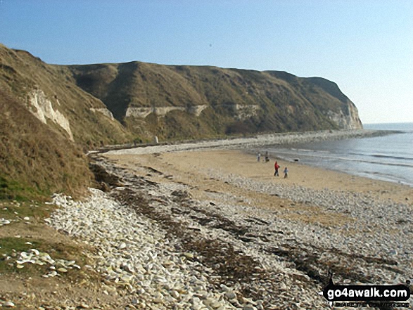
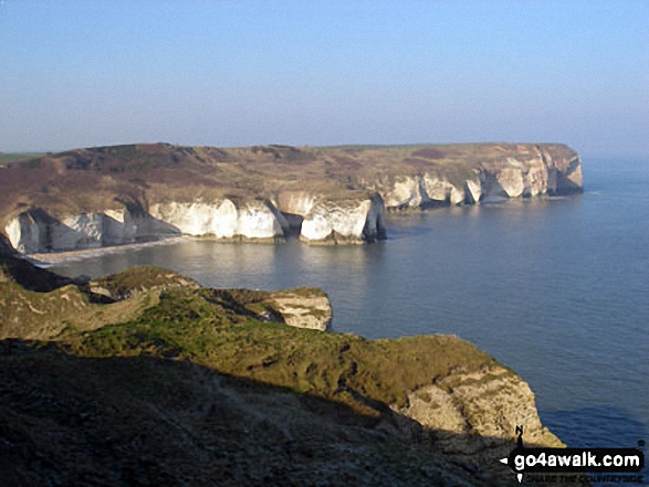
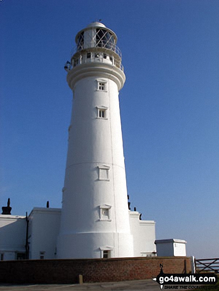
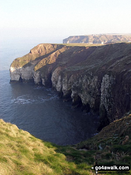
Some Photos and Pictures from Walk ey112 Flamborough Head and North Landing from South Landing
In no particular order . . .
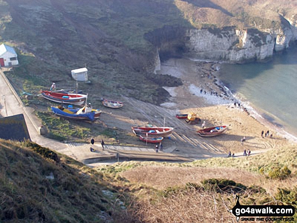


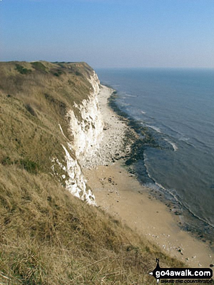
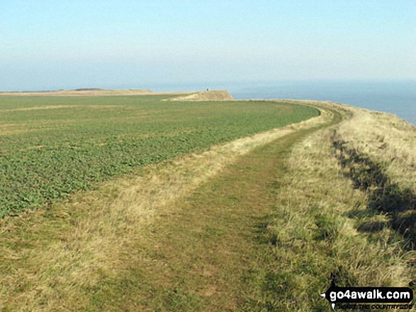
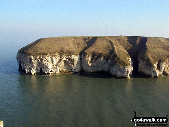
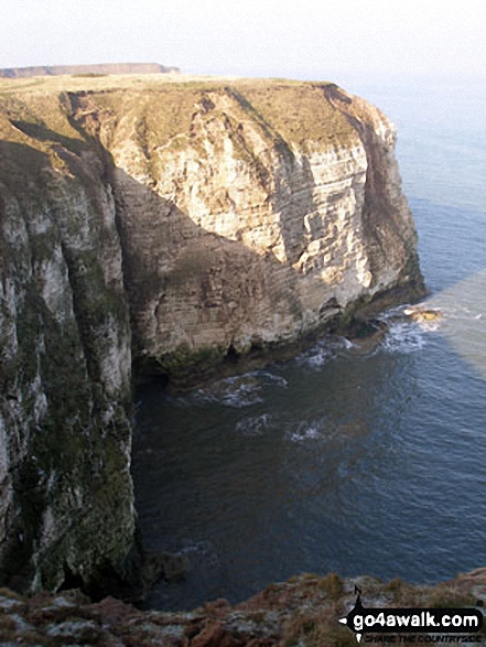
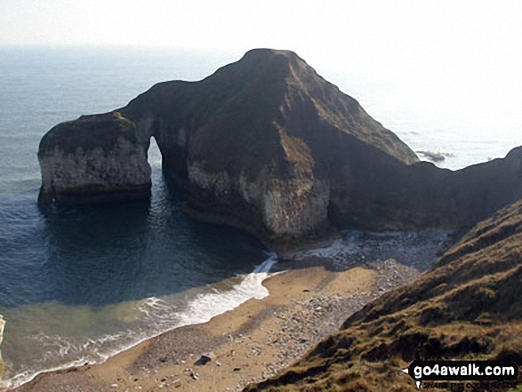
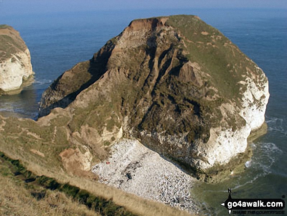


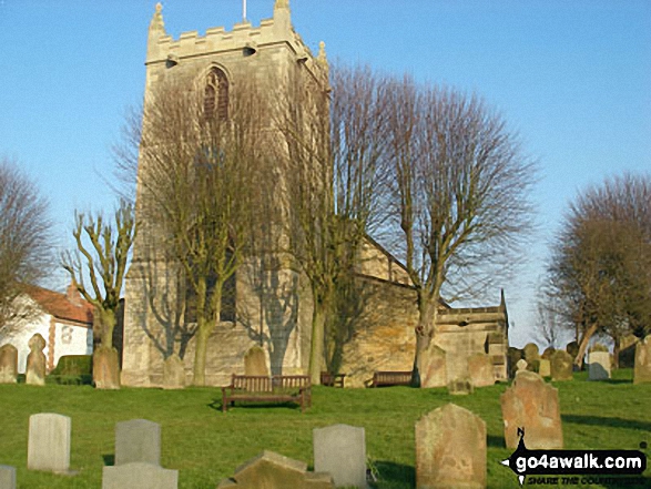
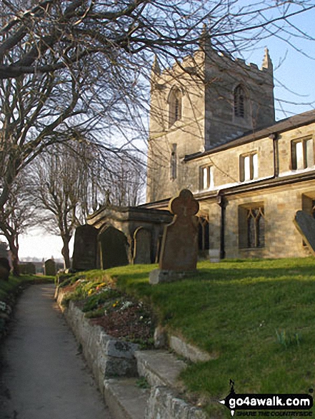
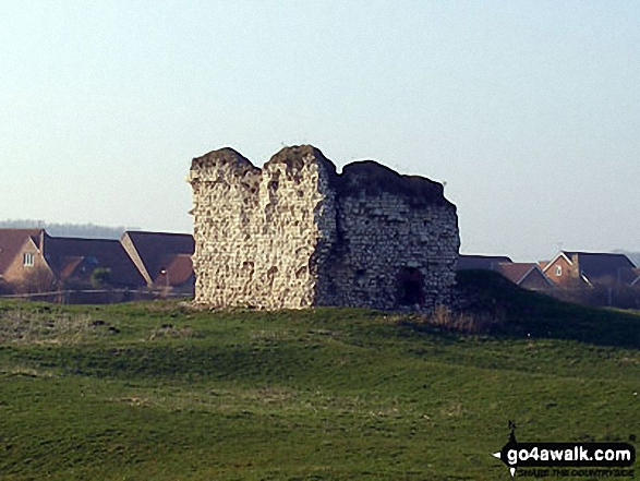
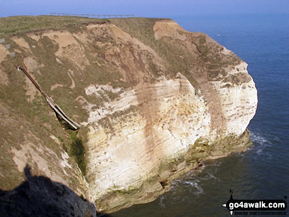

. . . load all 25 walk photos from Walk ey112 Flamborough Head and North Landing from South Landing
Send us your photographs and pictures from your walks and hikes
We would love to see your photographs and pictures from walk ey112 Flamborough Head and North Landing from South Landing. Send them in to us as email attachments (configured for any computer) along with your name and where the picture was taken to:
and we shall do our best to publish them.
(Guide Resolution = 300dpi. At least = 660 pixels (wide) x 440 pixels (high).)

You can also submit photos from walk ey112 Flamborough Head and North Landing from South Landing via our Facebook Page.
NB. Please indicate where each photo was taken.