Walk Howl Dale from Thornton-le-Dale
Delightful woodland walking
This 5¼ mile, Grade 2 (Easy), easy-to-follow, hand-crafted walk, complete with GPS Waypoints, starts at Thornton-le-Dale in the North York Moors & will take you about 2¼ hrs to complete.
   |
Detailed walk route map PDF | |
Vital Statistics: | ||
| Walk No.: | ny242 | |
| Length: | 5¼ miles (8.5km) | |
| Ascent: | 380 ft (116m) | |
| Time: | 2¼ hours | |
| Grade: |  | |
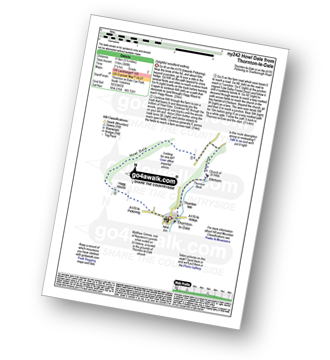
Route outline for this walk:
Thornton-le-Dale - Hagg House - Howl Dale Wood - Howl Dale - Orchan Dale - Pexton Moor Plantation - Kirkdale Slack - Ellerburn - Thornton-le-Dale
Peaks, Summits and Tops reached on this walk:
 0 English Mountains |
 0 Wainwrights |
 0 English Nuttalls |
 0 English Deweys |
 0 Wainwright Outlying Fells |
 0 Marilyns |
 0 Bridgets |
You can find this walk and other nearby walks on these unique Interactive Walk Planning Maps:
(worth a look if you're new to go4awalk.com & have never seen one of these before.)
1:25,000 scale OS Explorer Map (orange/yellow covers):
1:50,000 scale OS Landranger Map (pink/magenta covers):
Some Photos and Pictures from Walk Howl Dale from Thornton-le-Dale
In no particular order . . .


Send us your photographs and pictures from your walks and hikes
Send them in to us as email attachments (configured for any computer) along with your name/username and where the picture was taken to:
and we shall do our best to publish them.
(Guide Resolution = 300dpi. At least = 660 pixels (wide) x 440 pixels (high).)

You can also submit photos via our Facebook Page.
NB. Please indicate where each photo was taken so we can match it to a walk route.