The 30 nearest, easy-to-follow, circular walks, routes & maps to UK Postcode LL77

The thirty nearest, easy-to-follow, circular walks, routes & maps to UK Postcode LL77 in Walk Grade Order

Walk 1 Walking Bootprint Icon

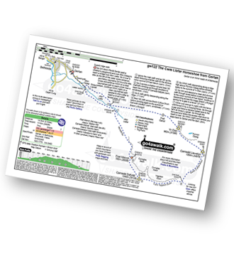
Walk gw122 The Cwm Llafar Horseshoe

Superb ridge walk

Download GPS Waypoint Data for walk gw122
Download GPX Waypoint Data for walk gw122
Download Map and Route Details for walk gw122

Vital Statistics:

Length:9 miles (14.5 km)
Ascent:3,660ft (1,116m)
Time:7 hrs
Grade:Grade 7 Walking Hard
Walk 2 Walking Bootprint Icon

Walk gw126 Snowdon via The Llanberis Path

Long but straight forward route up Snowdon

Download GPS Waypoint Data for walk gw126
Download GPX Waypoint Data for walk gw126
Download Map and Route Details for walk gw126

Vital Statistics:

Length:9 miles (14.5 km)
Ascent:3,344ft (1,019m)
Time:6.75hrs
Grade:Grade 7 Walking Hard
Walk 3 Walking Bootprint Icon

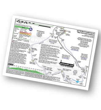
Walk gw118 Moel Cynghorion, Foel Gron and Moel Eilio from Llanberis

Superb views

Download GPS Waypoint Data for walk gw118
Download GPX Waypoint Data for walk gw118
Download Map and Route Details for walk gw118

Vital Statistics:

Length:11 miles (17.5 km)
Ascent:4,175ft (1,273m)
Time:8 hrs
Grade:Grade 7 Walking Hard
Walk 4 Walking Bootprint Icon

Walk gw158 Garnedd Ugain, Snowdon, Moel Cynghorion, Foel Gron and Moel Eilio from Llanberis

Testing hike over Snowdon & her sisters

Download GPS Waypoint Data for walk gw158
Download GPX Waypoint Data for walk gw158
Download Map and Route Details for walk gw158

Vital Statistics:

Length:13.25 miles (21 km)
Ascent:5,651ft (1,723m)
Time:10½ hrs
Grade:Grade 9 Walking Very Hard
Walk 5 Walking Bootprint Icon

Walk gw186 Garnedd Ugain, Snowdon (Yr Wyddfa) & Moel Cynghorion from Llanberis

For when climbing just Snowdon is not enough

Download GPS Waypoint Data for walk gw186
Download GPX Waypoint Data for walk gw186
Download Map and Route Details for walk gw186

Vital Statistics:

Length:11.5 miles (18.5 km)
Ascent:4,179ft (1,346m)
Time:8.75hrs
Grade:Grade 8 Walking Hard
Walk 6 Walking Bootprint Icon

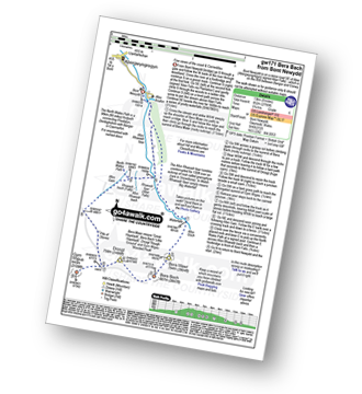
Walk gw171 Bera Bach from Bont Newydd

Fine views of the coast & Carneddau

Download GPS Waypoint Data for walk gw171
Download GPX Waypoint Data for walk gw171
Download Map and Route Details for walk gw171

Vital Statistics:

Length:8.25 miles (13 km)
Ascent:2,795ft (852m)
Time:5.75hrs
Grade:Grade 6 Walking Moderate
Walk 7 Walking Bootprint Icon

Walk gw193 Foel Fras from Bont Newydd

Fine views of the coast & Carneddau

Download GPS Waypoint Data for walk gw193
Download GPX Waypoint Data for walk gw193
Download Map and Route Details for walk gw193

Vital Statistics:

Length:9.75 miles (15.5 km)
Ascent:3,165ft (965m)
Time:6.75hrs
Grade:Grade 7 Walking Hard
Walk 8 Walking Bootprint Icon

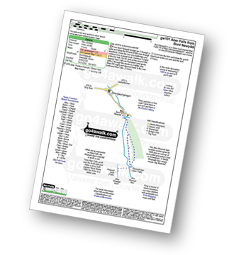
Walk gw101 Aber Falls (Rhaeadr-fawr) from Bont Newydd

Easy stroll to a stunning waterfall

Download GPS Waypoint Data for walk gw101
Download GPX Waypoint Data for walk gw101
Download Map and Route Details for walk gw101

Vital Statistics:

Length:3 miles (5 km)
Ascent:459ft (140m)
Time:1½ hrs
Grade:Grade 2 Walking Easy
Walk 9 Walking Bootprint Icon

Walk gw183 Bera Bach, Foel Grach and Drum (Carneddau) from Bont Newydd

Fine views of the coast and the Carneddau

Download GPS Waypoint Data for walk gw183
Download GPX Waypoint Data for walk gw183
Download Map and Route Details for walk gw183

Vital Statistics:

Length:14.75 miles (23.5 km)
Ascent:3,890ft (1,186m)
Time:9.25hrs
Grade:Grade 8 Walking Hard
Walk 10 Walking Bootprint Icon

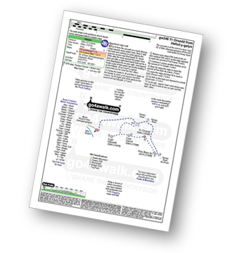
Walk gw246 Foel-ganol and Yr Orsedd from Hafod-y-gelyn

Magnificent short ridge walk

Download GPS Waypoint Data for walk gw246
Download GPX Waypoint Data for walk gw246
Download Map and Route Details for walk gw246

Vital Statistics:

Length:6 miles (9.5 km)
Ascent:1,621ft (494m)
Time:4 hrs
Grade:Grade 5 Walking Moderate
Walk 11 Walking Bootprint Icon

Walk gw194 Y Garn (Glyderau), Foel-goch, Mynydd Perfedd, Carnedd y Filiast (Glyderau) and Elidir Fawr from Nant Peris

High level walk with superb mountain views

Download GPS Waypoint Data for walk gw194
Download GPX Waypoint Data for walk gw194
Download Map and Route Details for walk gw194

Vital Statistics:

Length:10.75 miles (17 km)
Ascent:4,699ft (1,432m)
Time:8½ hrs
Grade:Grade 8 Walking Hard
Walk 12 Walking Bootprint Icon

Walk gw110 Snowdon via The Snowdon Ranger Path

Probably the easiest way to climb Snowdon

Download GPS Waypoint Data for walk gw110
Download GPX Waypoint Data for walk gw110
Download Map and Route Details for walk gw110

Vital Statistics:

Length:7.75 miles (12.5 km)
Ascent:3,200ft (975m)
Time:6.25hrs
Grade:Grade 6 Walking Moderate
Walk 13 Walking Bootprint Icon

Walk gw187 Y Garn (Glyderau), Glyder Fawr, Castell y Gwynt and Glyder Fach from Ogwen Cottage, Llyn Ogwen

A strenuous walk to dramatic views

Download GPS Waypoint Data for walk gw187
Download GPX Waypoint Data for walk gw187
Download Map and Route Details for walk gw187

Vital Statistics:

Length:7 miles (11 km)
Ascent:3,308ft (1,008m)
Time:6 hrs
Grade:Grade 6 Walking Moderate
Walk 14 Walking Bootprint Icon

Walk gw115 Glyder Fach, Castell y Gwynt and Glyder Fawr from Ogwen Cottage, Llyn Ogwen

A very steep ascent and descent

Download GPS Waypoint Data for walk gw115
Download GPX Waypoint Data for walk gw115
Download Map and Route Details for walk gw115

Vital Statistics:

Length:5.5 miles (9 km)
Ascent:2,854ft (870m)
Time:5 hrs
Grade:Grade 6 Walking Moderate
Walk 15 Walking Bootprint Icon

Walk gw165 Carnedd Dafydd from Ogwen Cottage, Llyn Ogwen

Steep climb to dramatic views - can be difficult in mist

Download GPS Waypoint Data for walk gw165
Download GPX Waypoint Data for walk gw165
Download Map and Route Details for walk gw165

Vital Statistics:

Length:8.75 miles (14 km)
Ascent:3,108ft (947m)
Time:6½ hrs
Grade:Grade 7 Walking Hard
Walk 16 Walking Bootprint Icon

Walk gw219 Llyn y Cwn from Ogwen Cottage, Llyn Ogwen

A short but steep ascent to a fine view

Download GPS Waypoint Data for walk gw219
Download GPX Waypoint Data for walk gw219
Download Map and Route Details for walk gw219

Vital Statistics:

Length:4.25 miles (6.5 km)
Ascent:1,470ft (448m)
Time:3 hrs
Grade:Grade 4 Walking Moderate
Walk 17 Walking Bootprint Icon

Walk gw106 A circuit of Llyn Idwal from Ogwen Cottage

Perfect on a warm, hot sunny day

Download GPS Waypoint Data for walk gw106
Download GPX Waypoint Data for walk gw106
Download Map and Route Details for walk gw106

Vital Statistics:

Length:2.75 miles (4.5 km)
Ascent:433ft (132m)
Time:1½ hrs
Grade:Grade 2 Walking Easy
Walk 18 Walking Bootprint Icon

Walk gw147 Y Garn (Glyderau) from Ogwen Cottage, Llyn Ogwen

A short but strenuous walk to dramatic views

Download GPS Waypoint Data for walk gw147
Download GPX Waypoint Data for walk gw147
Download Map and Route Details for walk gw147

Vital Statistics:

Length:4.75 miles (7.5 km)
Ascent:2,198ft (670m)
Time:4 hrs
Grade:Grade 5 Walking Moderate
Walk 19 Walking Bootprint Icon

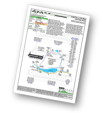
Walk cw202 Pen yr Ole Wen via the South Western Ridge from Ogwen Cottage, Llyn Ogwen

Very steep climb - not for the inexperienced

Download GPS Waypoint Data for walk cw202
Download GPX Waypoint Data for walk cw202
Download Map and Route Details for walk cw202

Vital Statistics:

Length:4.5 miles (7 km)
Ascent:2,329ft (710m)
Time:4 hrs
Grade:Grade 5 Walking Moderate
Walk 20 Walking Bootprint Icon

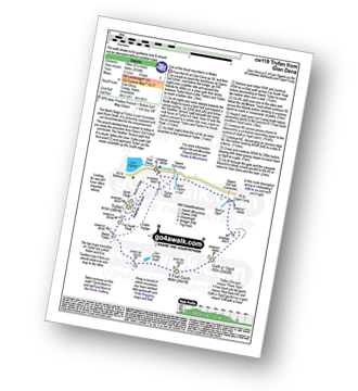
Walk cw119 Tryfan from Glan Dena, Llyn Ogwen

One of the finest mountains in Wales

Download GPS Waypoint Data for walk cw119
Download GPX Waypoint Data for walk cw119
Download Map and Route Details for walk cw119

Vital Statistics:

Length:7.5 miles (12 km)
Ascent:2,814ft (858m)
Time:5½ hrs
Grade:Grade 6 Walking Moderate
Walk 21 Walking Bootprint Icon

Walk cw113 Pen Yr Ole Wen, Carnedd Dafydd, Carnedd Llewelyn and Pen Yr Helgi Du from Glan Dena, Llyn Ogwen

A fine high walk with dramatic views

Download GPS Waypoint Data for walk cw113
Download GPX Waypoint Data for walk cw113
Download Map and Route Details for walk cw113

Vital Statistics:

Length:9.75 miles (15.5 km)
Ascent:3,523ft (1,074m)
Time:7 hrs
Grade:Grade 7 Walking Hard
Walk 22 Walking Bootprint Icon

Walk cw129 The Welsh 3000's (Carneddau) from Glan Dena, Llyn Ogwen

Peak baggers paradise

Download GPS Waypoint Data for walk cw129
Download GPX Waypoint Data for walk cw129
Download Map and Route Details for walk cw129

Vital Statistics:

Length:11.5 miles (18.5 km)
Ascent:4,599ft (1,402m)
Time:8.75hrs
Grade:Grade 8 Walking Hard
Walk 23 Walking Bootprint Icon

Walk gw201 The Nantlle Ridge from Rhyd-Ddu

Classic Welsh Ridge Walk

Download GPS Waypoint Data for walk gw201
Download GPX Waypoint Data for walk gw201
Download Map and Route Details for walk gw201

Vital Statistics:

Length:9.5 miles (15.5 km)
Ascent:4,017ft (1,224m)
Time:7.75hrs
Grade:Grade 7 Walking Hard
Walk 24 Walking Bootprint Icon

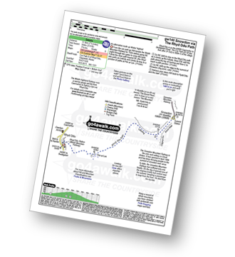
Walk gw140 Snowdon via The Rhyd-Ddu Path

An alternative route up Wales' highest

Download GPS Waypoint Data for walk gw140
Download GPX Waypoint Data for walk gw140
Download Map and Route Details for walk gw140

Vital Statistics:

Length:8 miles (12 km)
Ascent:3,131ft (954m)
Time:7.75hrs
Grade:Grade 6 Walking Moderate
Walk 25 Walking Bootprint Icon

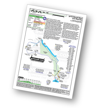
Walk gw151 Mynydd Mawr (Llyn Cwellyn) from Rhyd Ddu

Forest, mountain & lakeshore walking

Download GPS Waypoint Data for walk gw151
Download GPX Waypoint Data for walk gw151
Download Map and Route Details for walk gw151

Vital Statistics:

Length:6.25 miles (10 km)
Ascent:2,340ft (713m)
Time:4.75hrs
Grade:Grade 5 Walking Moderate
Walk 26 Walking Bootprint Icon

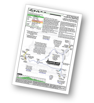
Walk gw107 Snowdon and Yr Aran from Rhyd-Ddu

An alternative route up Wales' highest

Download GPS Waypoint Data for walk gw107
Download GPX Waypoint Data for walk gw107
Download Map and Route Details for walk gw107

Vital Statistics:

Length:9 miles (14.5 km)
Ascent:3,982ft (1,214m)
Time:7½ hrs
Grade:Grade 7 Walking Hard
Walk 27 Walking Bootprint Icon

Walk gw188 The first part of the Nantlle Ridge from Rhyd-Ddu

The Nantlle Ridge is one of the finest ridge walks in Britain

Download GPS Waypoint Data for walk gw188
Download GPX Waypoint Data for walk gw188
Download Map and Route Details for walk gw188

Vital Statistics:

Length:6.5 miles (10.5 km)
Ascent:2,304ft (702m)
Time:4.75hrs
Grade:Grade 5 Walking Moderate
Walk 28 Walking Bootprint Icon

Walk gw164 The full Nantlle Ridge and Craig Cwm Silyn from Rhyd-Ddu

Tough one for the Peak Baggers (see note)

Download GPS Waypoint Data for walk gw164
Download GPX Waypoint Data for walk gw164
Download Map and Route Details for walk gw164

Vital Statistics:

Length:11.5 miles (18.5 km)
Ascent:4,496ft (1,370m)
Time:8.75hrs
Grade:Grade 8 Walking Hard
Walk 29 Walking Bootprint Icon

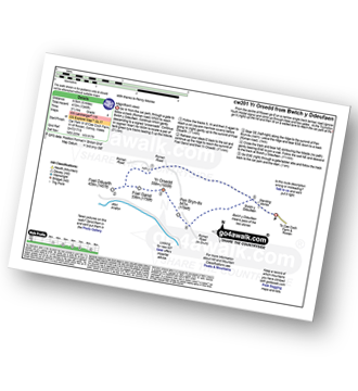
Walk cw201 Foel-ganol and Yr Orsedd from Bwlch y Ddeufaen

Magnificent views

Download GPS Waypoint Data for walk cw201
Download GPX Waypoint Data for walk cw201
Download Map and Route Details for walk cw201

Vital Statistics:

Length:6 miles (9.5 km)
Ascent:1,346ft (410m)
Time:3½ hrs
Grade:Grade 4 Walking Moderate
Walk 30 Walking Bootprint Icon

Walk cw172 Tal y Fan, Foel-ganol and Yr Orsedd from Bwlch y Ddeufaen

Magnificent views

Download GPS Waypoint Data for walk cw172
Download GPX Waypoint Data for walk cw172
Download Map and Route Details for walk cw172

Vital Statistics:

Length:8.25 miles (13 km)
Ascent:2,234ft (681m)
Time:5.25hrs
Grade:Grade 6 Walking Moderate


Follow go4awalk.com on Twitter Follow go4awalk.com on Facebook