   |
Vital Statistics:
| Length: | 4¼mls (6.5km) |
| Ascent: | 1,470ft (448m) |
| Time: | 3hrs |
| Grade: |  |

Route outline for walk gw219:
Llyn Ogwen - Ogwen Cottage - Pont Pen-y-benglog - Nant Idawl - Llyn Idwal - Twll Du (Devil's Kitchen) - Lyn y Cwn - Idwal Slabs - Ogwen Cottage - Llyn Ogwen
Points of Interest/Notes on this walk:
Try and find time to have a look underneath Pont Pen-y-benglog (near Ogwen Cottage at the western end of Llyn Ogwen) where the remains of the original stone arched bridge built by Thomas Telford can be seen. Access the river bank is via a stile on NW side of the bridge.
You can find this walk and other nearby walks on these unique free-to-access Interactive Walk Planning Maps:
1:25,000 scale OS Explorer Map (orange/yellow covers):
1:50,000 scale OS Landranger Map (pink/magenta covers):
Some Photos and Pictures from Walk gw219 Llyn y Cwn from Ogwen Cottage, Llyn Ogwen
In no particular order . . .

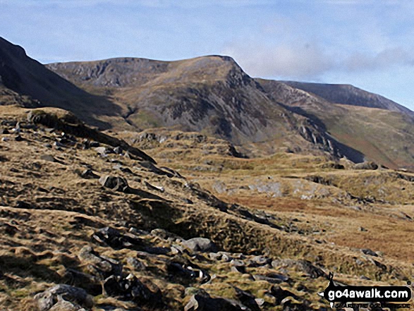
Y Garn (Glyderau) (far left), Foel-goch (Glyderau), Carnedd y Filliast, Ogwen Cottage, Nant Ffrancon and the shoulder of Pen yr Ole Wen (right) from Llyn Idwal
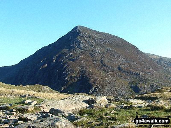
Y Garn (Glyderau) (far left), Foel-goch (Glyderau) and Carnedd y Filliast from Llyn Idwal
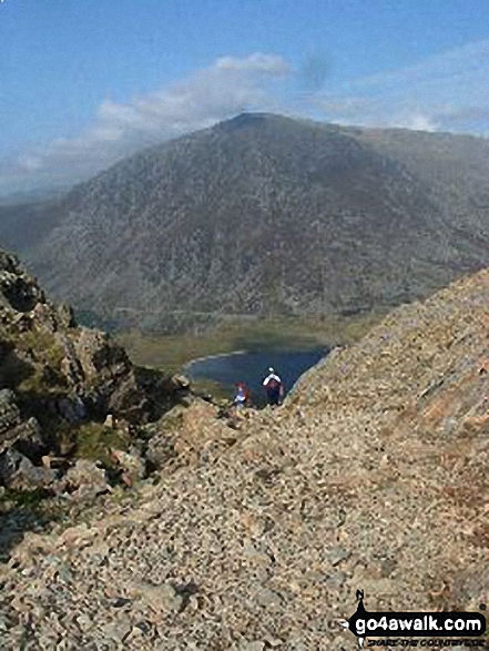
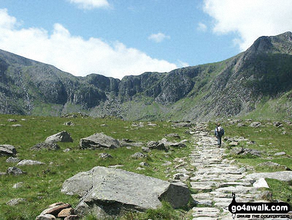
Pen yr Ole Wen and Llyn Idwal from the top of The Devil's Kitchen (Twll Du)

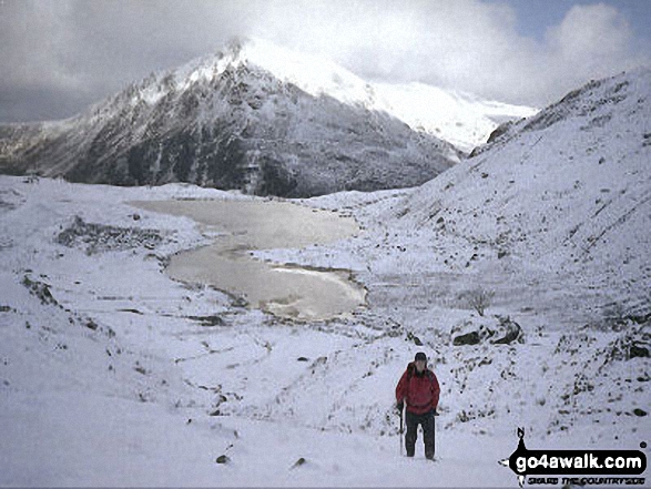
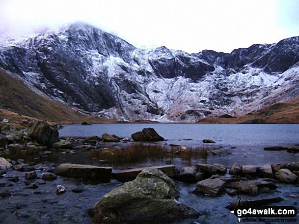
Pen yr Ole Wen and Llyn Idwal from the top of Twll Du or The Devil's Kitchen in the snow


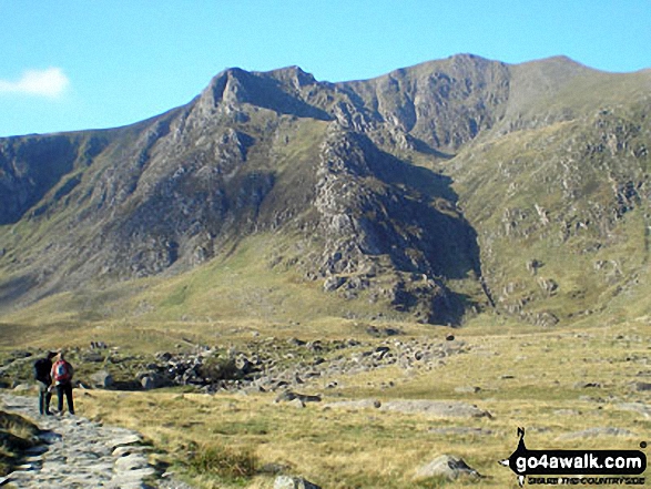
Cwm Idwal featuring Glyder Fawr (left), Twll Du or The Devil's Kitchen (centre) and Y Garn (right)

Ogwen Cottage, Nant Ffrancon and the shoulder of Pen yr Ole Wen from Llyn Idwal

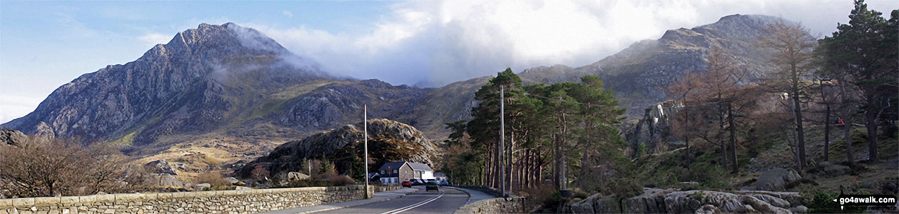
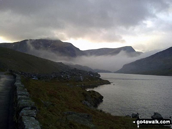
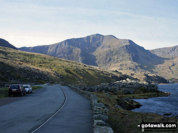
Early morning mist over Llyn Ogwen with Y Garn (Glyderau) and Foel-goch beyond


. . . load all 38 walk photos from Walk gw219 Llyn y Cwn from Ogwen Cottage, Llyn Ogwen
Send us your photographs and pictures from your walks and hikes
We would love to see your photographs and pictures from walk gw219 Llyn y Cwn from Ogwen Cottage, Llyn Ogwen. Send them in to us as email attachments (configured for any computer) along with your name and where the picture was taken to:
and we shall do our best to publish them.
(Guide Resolution = 300dpi. At least = 660 pixels (wide) x 440 pixels (high).)

You can also submit photos from walk gw219 Llyn y Cwn from Ogwen Cottage, Llyn Ogwen via our Facebook Page.
NB. Please indicate where each photo was taken.


