UK Postcode DL9 - The 30 nearest easy-to-follow, circular walk route maps to you
The thirty nearest easy-to-follow, circular walk route maps to you in UK Postcode DL9 in Walk Grade Order
The UK cities, towns and villages in North Yorkshire, England that have DL9 in their UK Postcode include:
• Catterick Camp • Scotton •
Not familiar with the area around DL9?
See these 30 nearest walks to UK Postcode DL9 on a google map

   |
Vital Statistics:
| Length: | 9 miles (14.5 km) |
| Ascent: | 1,674ft (510m) |
| Time: | 5 hrs |
| Grade: |  |

Route Summary:
Reeth - Wainwright's Coast to Coast Walk - Arkle Beck - High Fremington - White House Farm - Fremington Edge - Fremington Edge Top - Fell End Lead Mine - Storthwaite Hall - Arkengarthdale - Langthwaite - Castle Farm House - Cuckoo Hill - The Herriot Way - Reeth


|
Vital Statistics:
| Length: | 12.75 miles (20.5 km) |
| Ascent: | 1,935ft (590m) |
| Time: | 6½ hrs |
| Grade: |  |

Route Summary:
Reeth - River Swale - Harkerside Place Farm - Harker Mires - The Herriot Way - Low Harker Hill - High Harker Hill - Blue Hill - Beldow Hill - Green Hill Ends - Whitaside Moor - ashpot Gutters - Apedale Road (Track) Apedale - Dent's House - Greets Hill - How Hill - Grinton Lodge - The Herriot Way - Grinton - Arkle Beck - Reeth

|
Vital Statistics:
| Length: | 8.75 miles (14 km) |
| Ascent: | 1,870ft (570m) |
| Time: | 5 hrs |
| Grade: | |
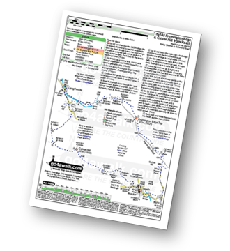
Route Summary:
Reeth - Arkle Beck - High Fremington - White House Farm - Fremington Edge - Fremington Edge Top - Fell End Lead Mine - Storthwaite Hall - Arkengarthdale - Langthwaite - Arken Town - Calver Hill - Riddings Farm - Skelgate Lane - Wainwright's Coast to Coast Walk - The Herriot Way - Reeth

|
Vital Statistics:
| Length: | 7 miles (11 km) |
| Ascent: | 1,674ft (411m) |
| Time: | 4 hrs |
| Grade: | |

Route Summary:
Reeth - Wainwright's Coast to Coast Walk - Arkle Beck - High Fremington - White House Farm - Fremington Edge - Fremington Edge Top - Fell End Lead Mine - Storthwaite Hall - Arkengarthdale - Castle Farm House - Cuckoo Hill - The Herriot Way - Reeth

|
Vital Statistics:
| Length: | 17.5 miles (28 km) |
| Ascent: | 1,591ft (485m) |
| Time: | 7.75hrs |
| Grade: |  |
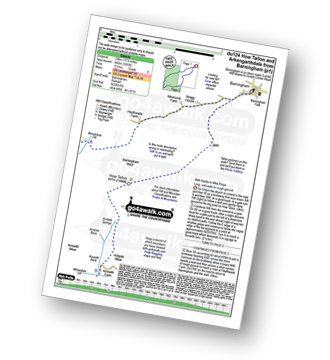
Route Summary:
Barningham - Birk Hills Farm - Brown Hill - Cathaw Stoop - Carter Allotment - Badger Way - Badger Way Stoop - How Tallon - How Tallon Gate - How Tallon Ridge - High Moor - Arndale Springs - Frankinshaw How - Holgate Moor - Arndale hole - Kexwith Beck - Kexwith Farm - Moresdale Gill - Moresdale - Moresdale Road - Fair Seat Hill - Moresdale Ridge - Stony Man (St Andrew's Cross) - Booze Moor - Low Moor - Windeg Vein - Little Windeg - Dry Gill Bottom - Shaw Farm - Stang Side - Stang House - Freestone Ridge - Stang Top - Hope Moor - The Stang - Woodcote Gill - Black Hill Gate - Haythwaite Farm - Moorcock Farm - Bragg House - Barningham

|
Vital Statistics:
| Length: | 3 miles (4.5 km) |
| Ascent: | 367ft (112m) |
| Time: | 1½ hrs |
| Grade: |  |
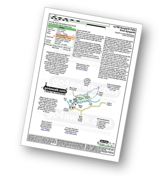
Route Summary:
Aysgarth - Aysgarth Falls - High Force - The Herriot Way - Aysgarth Falls - Middle Force - Aysgarth Falls - Low Force - St Josephs Wood - Freeholders' Wood - Aysgarth

|
Vital Statistics:
| Length: | 4.5 miles (7 km) |
| Ascent: | 870ft (265m) |
| Time: | 2½ hrs |
| Grade: |  |
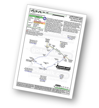
Route Summary:
Thornton Rust - Thornton Rust Moor - Addlebrough - Swallow Hole - Worton Scar - Thornton Scar - Thornton Rust

|
Vital Statistics:
| Length: | 6.5 miles (10.5 km) |
| Ascent: | 647ft (197m) |
| Time: | 3 hrs |
| Grade: | |
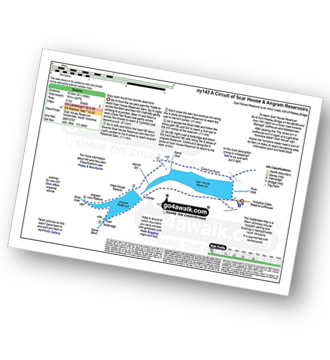
Route Summary:
Nidderdale - Scar House Reservoir - River Nidd - Nidderdale - Carle Fell Road (Track) - Stand Sike - Wench Gill - Angram Reservoir - Pudding Hill - West House Pasture - Angram Low Pasture - Stone Beck - Scar House Reservoir - Nidderdale

|
Vital Statistics:
| Length: | 4.75 miles (7.5 km) |
| Ascent: | 571ft (174m) |
| Time: | 2.25hrs |
| Grade: | |
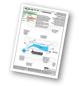
Route Summary:
Nidderdale - Scar House Reservoir - River Nidd - Nidderdale - Carle Fell Road (Track) - Stand Sike - Wench Gill - Angram Reservoir - Scar House Reservoir - Nidderdale

|
Vital Statistics:
| Length: | 10.75 miles (17 km) |
| Ascent: | 2,022ft (616m) |
| Time: | 6 hrs |
| Grade: | |
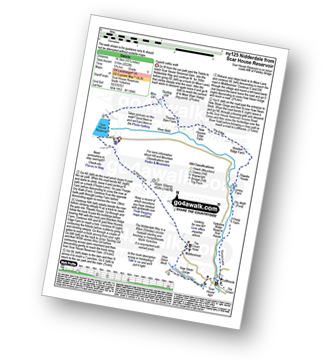
Route Summary:
Nidderdale - Scar House Reservoir - The Nidderdale Way - In Moor Lane - Rain Stang - Middlesmoor - How Stean Beck - How Stean Gorge - River Nidd - Lofthouse - Thorpe Lane - Thorp Farm - Dry Wrath Ford - Limley Farm - Thwaite House - Bracken Ridge - Summerstone Lodge - The Edge - Nidd Cottage - New Houses Edge Farm - Turnacar - Thornet Barn - Twizling Gill - Woo Gill - Carl Fell Road (Track) - River Nidd - Scar House Reservoir - Nidderdale

|
Vital Statistics:
| Length: | 11.5 miles (18.5 km) |
| Ascent: | 1,913ft (583m) |
| Time: | 6.25hrs |
| Grade: | |

Route Summary:
Nidderdale - Scar House Reservoir - Nidderdale - River Nidd - Carle Fell Road - Wench Gill - Little Whernside - Nidd Head - Black Dike Hole - Blackfell Top - Great Whernside - Stone Beck - Angram Reservoir - Scar House Reservoir - Nidderdale

|
Vital Statistics:
| Length: | 9.75 miles (15.5 km) |
| Ascent: | 1,388ft (423m) |
| Time: | 5 hrs |
| Grade: | |
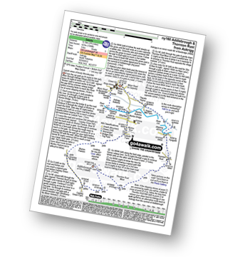
Route Summary:
Askrigg - Askrigg Bottoms - The River Ure - Wensleysdale - Worton Bridge - Worton - Cubeck - Carpley Green Road - Worton Pasture - Carpley Green Farm - Addlebrough - Thornton Rust Moor - Thornton Rust - River Ure - Wensleydale - Nappa Mill Farm - Askrigg

|
Vital Statistics:
| Length: | 7.75 miles (12.5 km) |
| Ascent: | 1,214ft (370m) |
| Time: | 4.25hrs |
| Grade: | |

Route Summary:
Askrigg - Askrigg Bottoms - The River Ure - Wensleysdale - Worton Bridge - Worton - Cubeck - Carpley Green Road - Worton Pasture - Carpley Green Farm - Addlebrough - Swallow Hole - Worton Scar - Worton - Wensleydale - Askrigg Bottoms - Askrigg

|
Vital Statistics:
| Length: | 5 miles (8 km) |
| Ascent: | 502ft (153m) |
| Time: | 2½ hrs |
| Grade: | |

Route Summary:
Askrigg - Askrigg Bottoms - The River Ure - Wensleysdale - Worton Bridge - Worton - Worton Scar - Thornton Scar - Thornton Rust - River Ure - Wensleydale - Nappa Mill Farm - Askrigg

|
Vital Statistics:
| Length: | 7 miles (11 km) |
| Ascent: | 1,345ft (410m) |
| Time: | 3.75hrs |
| Grade: | |

Route Summary:
Muker - Kisdon - Hooker Mill Scar - Swallow Hole Farm - Keld - The Herriot Way - The Pennine Way - The River Swale - Wainwright's Coast to Coast Walk - Kisdon Force - East Gill Force - Crackpot Hall - Swinner Gill - Arngill Wood - Swaledale - Ramps Holme Bridge - Muker
Not familiar with the area around DL9?
See these 30 nearest walks to UK Postcode DL9 on a google map

|
Vital Statistics:
| Length: | 11 miles (17.5 km) |
| Ascent: | 2,681ft (817m) |
| Time: | 6.75hrs |
| Grade: | |

Route Summary:
Keld - The Pennine Way - The Herriot Way - The River Swale - Swaledale - Wainwright's Coast to Coast Walk - Kisdon Force - Crackpot Hall - Swinner Gill - Hind Hole Beck - Swinner Gill Lead Mines - East Grain - High Stone Man - Rogan's Seat - Moor Hen Nest - Water Crag (Arkengarthdale) - Blakethwaite Gill - Blakethwaite Meres - Blakethwaite Dams - Gunnerside Gill - Eweleap Scar - Bling Gill - Lownathwaite Mea - High Whim - Swinner Gill - Kisdon Force - Crackpot Hall - Keld

|
Vital Statistics:
| Length: | 11.25 miles (18 km) |
| Ascent: | 2,091ft (637m) |
| Time: | 6.25hrs |
| Grade: | |

Route Summary:
Keld - The Pennine Way - The Herriot Way - Kisdon Force - Black Moor - Stonesdale Moor - The Tan Hill Inn - Tan Gill - Stonesdale Beck - Thomas Gill - Robert's Seat - Pryclose Gutter - Ravenseat - Wainwright's Coast to Coast Walk - Whitsundale Beck - How Edge Scars - Oven Mouth - Cotterby Scar - East Stonesdale Farm - The River Swale - Keld

|
Vital Statistics:
| Length: | 9 miles (14.5 km) |
| Ascent: | 1,766ft (538m) |
| Time: | 5 hrs |
| Grade: | |
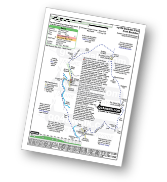
Route Summary:
Buckden - Rakes Wood - Cow Close - Buckden Pike - Fox Memorial - Starbotton Fell - Tor Mere Top - Cam Head - Starbotton Cam Road - Starbotton - The Dales Way - River Wharfe - Wharfedale - Buckden

|
Vital Statistics:
| Length: | 12.5 miles (20 km) |
| Ascent: | 2,099ft (640m) |
| Time: | 6.75hrs |
| Grade: | |
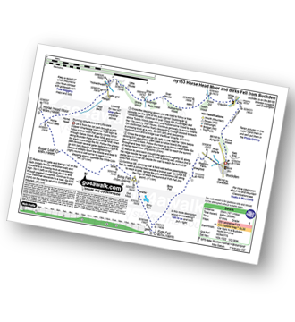
Route Summary:
Buckden - Rakes Wood - Buckden Rake - Cray Gill - Cray - Crook Gill - Todd's Wood - Scar House - Strans Gill - Strans Wood - Yockenthwaite - Horse Head (Horse Head Moor) - Sugar Loaf (Horse Head Moor) - High Combe Stoop - Birks Fell - Birks Tarn - Firth Fell - Redmire Farm - Buckden

|
Vital Statistics:
| Length: | 8.5 miles (13.5 km) |
| Ascent: | 1,802ft (549m) |
| Time: | 4.75hrs |
| Grade: | |
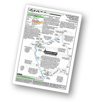
Route Summary:
Buckden - Buckden Beck - Buckden Lead Mine - Buckden Pike - Fox Memorial - Starbotton Fell - Tor Mere Top - Cam Head - Starbotton Cam Road - Starbotton - The Dales Way - River Wharfe - Wharfedale - Buckden

|
Vital Statistics:
| Length: | 9.5 miles (15 km) |
| Ascent: | 1,906ft (581m) |
| Time: | 5½ hrs |
| Grade: | |

Route Summary:
Buckden - Rakes Wood - Buckden Rake - Cray Gill - Cray - Crook Gill - Todd's Wood - Scar House - Strans Gill - Strans Wood - Yockenthwaite Moor - Yockenthwaite - The Dales Way - Hubberholme - The River Wharfe - Wharfedale - Buckden

|
Vital Statistics:
| Length: | 7.25 miles (11.5 km) |
| Ascent: | 991ft (302m) |
| Time: | 3½ hrs |
| Grade: |  |
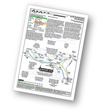
Route Summary:
Buckden - Rakes Wood - Buckden Rake - Cray Gill - Cray - Crook Gill - Todd's Wood - Scar House - Strans Gill - Strans Wood - Yockenthwaite - The Dales Way - Hubberholme - The River Wharfe - Wharfedale - Buckden

|
Vital Statistics:
| Length: | 8.5 miles (13.5 km) |
| Ascent: | 1,030ft (314m) |
| Time: | 4 hrs |
| Grade: | |
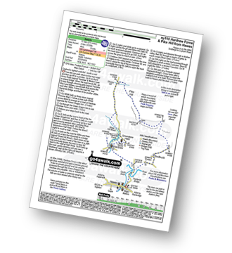
Route Summary:
Hawes - The Pennine Way - The Herriot Way - Haylands Bridge - The River Ure - Hardraw - Hardraw Force - Shaw Gill Wood - Simonstone Hotel - High Shaw - Shivery Gill - Pike Hill - Abbotside Common - Low Clint - High Pasture Gate - Shutt Lane - Sedbusk - Hawes

|
Vital Statistics:
| Length: | 13.75 miles (22 km) |
| Ascent: | 2,330ft (710m) |
| Time: | 7.25hrs |
| Grade: | |

Route Summary:
Hawes - The Pennine Way - The Herriot Way - Haylands Bridge - The River Ure - Hardraw - Hardraw Force - Hearne Coal Road - Hollin Hill - Bluebell Hill - Blea Pot Plain - Hearn Top - Bleak Haw - Hearne Head - Great Shunner Fell - Little Shunner Fell - Pickersett Mea - Fossdale Moss - Grimy Gutter - Lovely Seat - Coal Gill Hags - Abbotside Common - High Clint - High Pasture Gate - Shutt Lane - Sedbusk - Hawes

|
Vital Statistics:
| Length: | 12 miles (19 km) |
| Ascent: | 1,956ft (596m) |
| Time: | 6.25hrs |
| Grade: | |
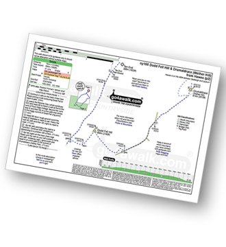
Route Summary:
Hawes - The Pennine Way - The Herriot Way - Gayle - Gaudy Lane - Rottonstone Hill - Ten End Peat Ground - West Cam Road - Dodd Fell Hill - North Gate - West Duerley Pasture - Cam High Road - Howgate Head - Drumaldrace (Wether Fell) - Wether Fell - Gayle - Hawes

|
Vital Statistics:
| Length: | 3.75 miles (6 km) |
| Ascent: | 295ft (90m) |
| Time: | 1.75hrs |
| Grade: | |
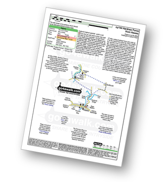
Route Summary:
Hawes - The Pennine Way - The Herriot Way - Haylands Bridge - The River Ure - Hardraw - Hardraw Force - West House - Simonstone Hotel - Sedbusk - Hawes

|
Vital Statistics:
| Length: | 10 miles (16 km) |
| Ascent: | 1,771ft (540m) |
| Time: | 5½ hrs |
| Grade: | |
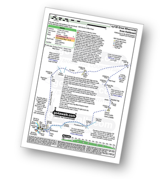
Route Summary:
Kettlewell - Dowber Gill Beck - Providence Pot - Hag Dyke (hostel) - Great Whernside - Black Hole Dike - Nidd Head - Little Hunters Sleet - Tor Dyke - Starbotton Road - Top Mere Road - Kettlewell

|
Vital Statistics:
| Length: | 6.5 miles (10.5 km) |
| Ascent: | 1,476ft (450m) |
| Time: | 3.75hrs |
| Grade: | |
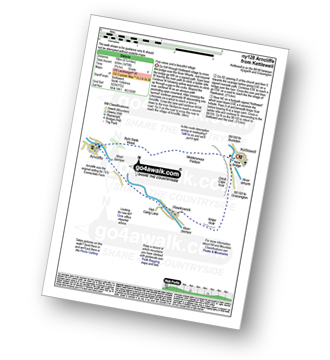
Route Summary:
Kettlewell - River Wharfe - New Bridge - Gate Cote Scar - Middlesmoor Pasture - Byre Bank Wood - Arncliffe - River Skirfare - Hawkswick - Knipe Wood - Kettlewell

|
Vital Statistics:
| Length: | 7.75 miles (12.5 km) |
| Ascent: | 988ft (301m) |
| Time: | 4 hrs |
| Grade: | |

Route Summary:
Balderhead Reservoir - High Birk Hat Farm - The Pennine Way - Hannah's Meadow - Birk Hat Farm - Blackton Reservoir - Baldsersdale - Willoughby Hall - Scoon Bank - West Brisco - Coproal Hill - East Brisco - How Beck - Lathe Haw - Lathehaw Rigg - Goldsborough Rigg - Goldsborough - East Friar House - Mawmon Sike - Balckton Grange - Balderhead Reservoir

|
Vital Statistics:
| Length: | 5 miles (8 km) |
| Ascent: | 689ft (210m) |
| Time: | 2½ hrs |
| Grade: | |
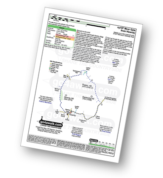
Route Summary:
Hawnby - Hill End House - Moor Gate - Sportsman's Hall - Ladhill Beck - Pepper Hill - Easterside Hill - Wass House - Easterside Farm - Ladhill Beck - Hawnby
Not familiar with the area around DL9?
See these 30 nearest walks to UK Postcode DL9 on a google map