Walk ny138 Great Whernside from Kettlewell

This 10 mile, Grade 6 (Moderate), easy-to-follow, hand-crafted walk, complete with GPS Waypoints, starts at Kettlewell & will take you about 5½ hrs to complete.

Download Walk PDF Icon
Download GPX Track Icon
Download GPS Waypoints Icon

Vital Statistics:

Length:10mls (16km)
Ascent:1,771ft (540m)
Time:5½hrs
Grade:Walk Grade 6_23_with_text.png Icon

Route outline for walk ny138:

Kettlewell  -  Dowber Gill Beck  -  Providence Pot  -  Hag Dyke (hostel)  -  Great Whernside  -  Black Hole Dike  -  Nidd Head  -  Little Hunters Sleet  -  Tor Dyke  -  Starbotton Road  -  Top Mere Road  -  Kettlewell

Points of Interest/Notes on this walk:

Providence Pot is a cave system that links to Dowber Gill Cave, notorious for its difficulty in navigation. Consisting of a thin rift or slit, the easiest passage through is a vertical maze, best left to caving experts.

Peaks, Summits and Tops reached on this walk:

Hewitt Icon
1
English
Mountain
Wainwright Icon
0
Wainwrights
English Nuttall Icon
1
English
Nuttall
Dewey Icon
0
English
Deweys
Wainwright Outlying Fell Icon
0
Wainwright
Outlying Fells
Marilyn Icon
1
Marilyn
Bridget Icon
0
Bridgets

Peak Bagging Statistics for this walk:

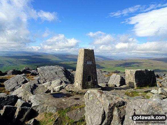
The highest point of this walk is Great Whernside at 704m (2310ft). Great Whernside is classified as an English Mountain (Hewitt) (102nd highest in England, 168th highest in England & Wales)

Great Whernside is also known as an English Nuttall (127th highest in England, 211th highest in England & Wales) and an English Marilyn (31st highest in England, 584th highest in the UK).

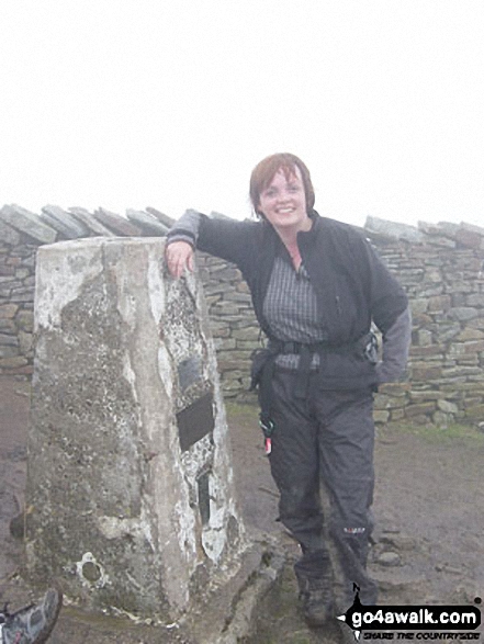
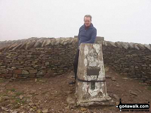
The summit of Great Whernside is marked by an Ordnance Survey Trig Point.


You can find this walk and other nearby walks on these unique Interactive Walk Planning Maps:

(worth a look if you're new to go4awalk.com & have never seen one of these before.)

The Yorkshire Dales National Park


1:25,000 scale OS Explorer Map (orange/yellow covers):

OS Explorer OL30 Yorkshire Dales - Northern & Central areas


1:50,000 scale OS Landranger Map (pink/magenta covers):

OS Landranger 98 Wensleydale & Upper Wharfedale


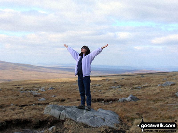
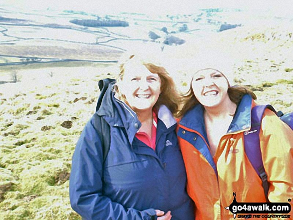
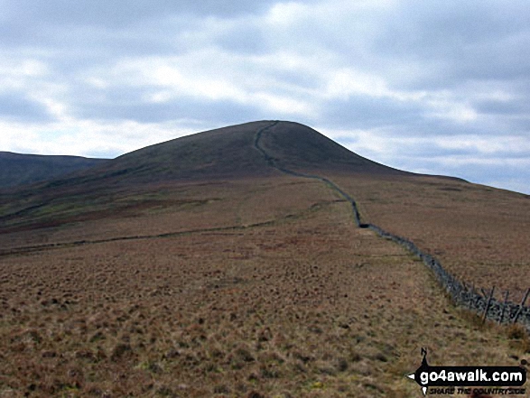
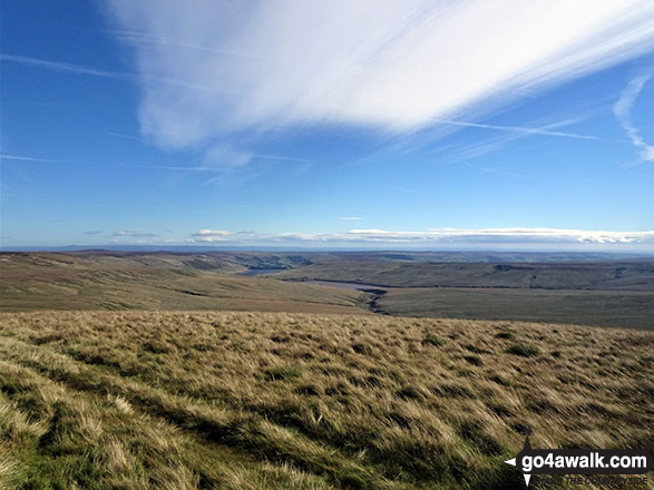
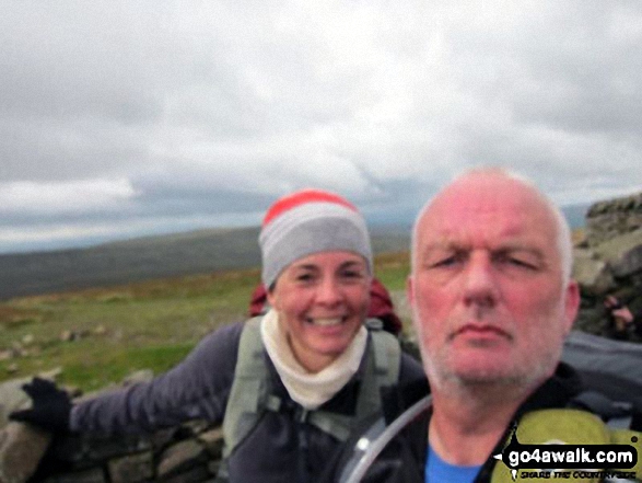
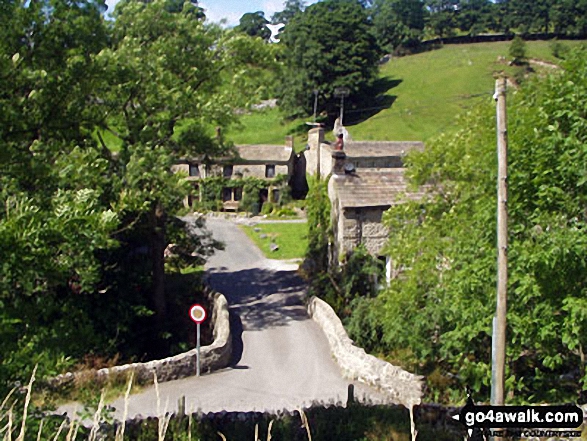
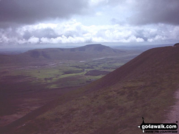
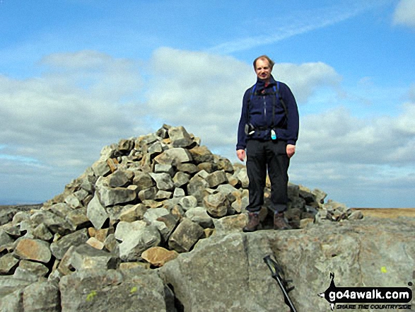
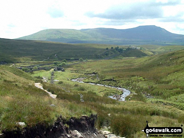
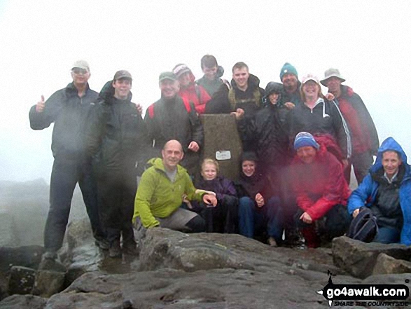
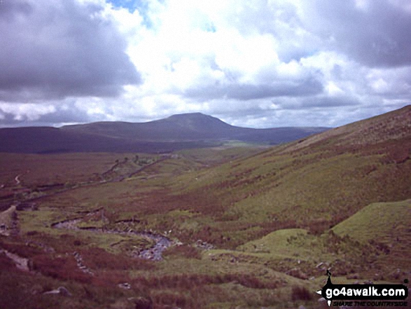
Some Photos and Pictures from Walk ny138 Great Whernside from Kettlewell

In no particular order . . .
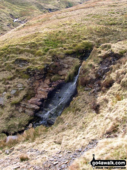
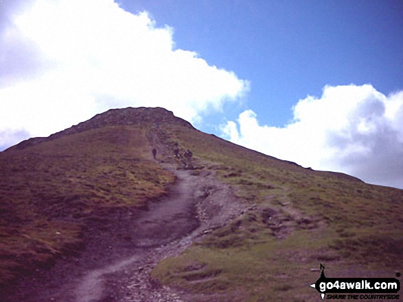
The Yorkshire Three Peaks Challenge - Pen-y-ghent from Whernside

The Yorkshire Three Peaks Challenge - Pen-y-ghent from Whernside

Photo: William Ringwood (4)

Kettlewell Village

Kettlewell Village

Photo: Glynn Trueman (51)

Trig Point on the summit of Great Whernside

Trig Point on the summit of Great Whernside

Photo: Christine Shepherd (694)

Pen-y-ghent from Greensett Moss, Whernside

Pen-y-ghent from Greensett Moss, Whernside

Photo: David Hayter (325)

Me and my mate Mike on Whernside

Me and my mate Mike on Whernside

Photo: Karen Parry (2)

On the Dales Way near Kettlewell

On the Dales Way near Kettlewell

Photo: Katrina Matthews (1)

Whernside summit during the Yorkshire Three Peaks of Challenge Walk

Whernside summit during the Yorkshire Three Peaks of Challenge Walk

Photo: Kevan Wilkinson (2)

Looking back down to Scar House Reservoir from Great Whernside

Looking back down to Scar House Reservoir from Great Whernside

Photo: Christine Shepherd (693)

Nidd Head

Nidd Head

Photo: Neil Fretwell (3)

Me on Great Whernside summit

Me on Great Whernside summit

Photo: Neil Fretwell (5)


. . . load all 17 walk photos from Walk ny138 Great Whernside from Kettlewell


Send us your photographs and pictures from your walks and hikes

Send them in to us as email attachments (configured for any computer) along with your name/username and where the picture was taken to:

and we shall do our best to publish them.

(Guide Resolution = 300dpi. At least = 660 pixels (wide) x 440 pixels (high).)

Facebook Logo

You can also submit photos via our Facebook Page.

NB. Please indicate where each photo was taken so we can match it to a walk route.


There is power to bless in hillside lonliness - in tarns and freary places. A virtue in the brook, a freshness in the look, of mountains's joyless faces - Frank William Fuber: 1814-1863
Follow go4awalk.com on Twitter Follow go4awalk.com on Facebook


Find new Friends to go walking with

Walk all 214 Wainwrights in just 59 Walks. Download GPS Waypoints - Great Walks you must not miss!

Walk The Yorkshire Three Peaks Challenge Walk - All the Latest Route Information, GPS Waypoints and Split Times to keep you on Schedule

Walk The British Three Peaks Challenge Walk - All the Latest Route Information and GPS Waypoints

See our pick of The Best Walks in The Lake District - Great Walks you must not miss!

Walk our pick of the Best Lake District Ridge Walks - Great Walks you must not miss!

Walk our pick of the Best Lake District Walks to do in the rain - Great Walks you must not miss!

Walk our pick of The Best Walks in Snowdonia - Great Walks you must not miss!

Walk our pick of The Best Ridge Walks in Wales - Walks you must not miss!

Walk our pick of The Best Walks in The Brecon Beacons - Great Walks you must not miss!

Walk our pick of The Best Walks in The Yorkshire Dales - Walks you must not miss!

Walk our pick of The Best Walks in The Peak District - Walks you must not miss!

Walk our pick of The Best Walks in The Forest of Bowland - Walks you must not miss!

Walk our pick of The Best Walks in Shropshire - Walks you must not miss!

Walk our pick of The Best Walks in Cheshire - Walks you must not miss!

Walk our pick of The Best Walks in Lancashire - Walks you must not miss!

Not sure where to walk next? Try Peak Bagging - Great Walks you must not miss!

Not sure where to walk next? Walk part of a National Trail - Great Walks you must not miss!

Walks with Downloadable and Uploadable GPS Waypoint Data

Walking Kit and Gear Tested by Walkers

Full Site Search