Walk ny207 Yockenthwaite Moor from Buckden

This 9½ mile, Grade 6 (Moderate), easy-to-follow, hand-crafted walk, complete with GPS Waypoints, starts at Buckden & will take about 5½ hrs to complete.

Download Walk PDF Icon
Download GPX Track Icon
Download GPS Waypoints Icon

Vital Statistics:

Length:9½mls (15km)
Ascent:1,906ft (581m)
Time:5½hrs
Grade:Walk Grade 6_23_with_text.png Icon

Route outline for walk ny207:

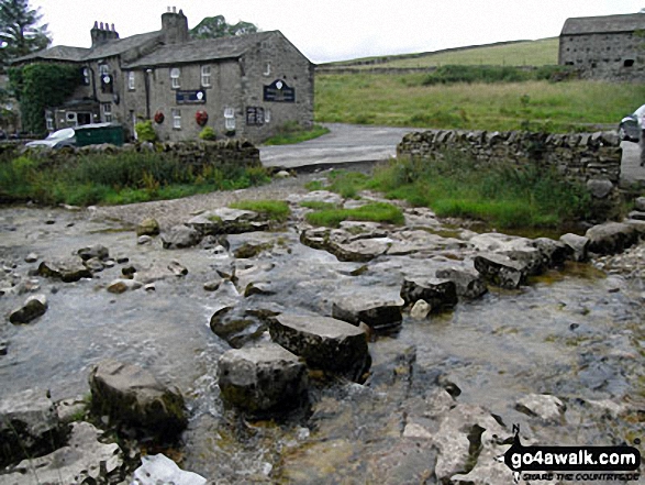
Buckden  -  Rakes Wood  -  Buckden Rake  -  Cray Gill  -  Cray  -  Crook Gill  -  Todd's Wood  -  Scar House  -  Strans Gill  -  Strans Wood  -  Yockenthwaite Moor  -  Yockenthwaite  -  The Dales Way  -  Hubberholme  -  The River Wharfe  -  Wharfedale  -  Buckden

Peaks, Summits and Tops reached on this walk:

Hewitt Icon
1
English
Mountain
Wainwright Icon
0
Wainwrights
English Nuttall Icon
1
English
Nuttall
Dewey Icon
0
English
Deweys
Wainwright Outlying Fell Icon
0
Wainwright
Outlying Fells
Marilyn Icon
0
Marilyns
Bridget Icon
0
Bridgets

Peak Bagging Statistics for this walk:

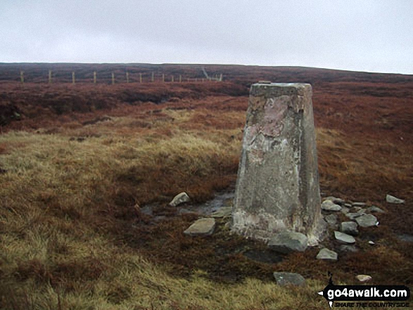
The highest point of this walk is Yockenthwaite Moor at 643m (2110ft). Yockenthwaite Moor is classified as an English Mountain (Hewitt) (149th highest in England, 255th highest in England & Wales)

Yockenthwaite Moor is also known as an English Nuttall (197th highest in England, 345th highest in England & Wales). The summit of Yockenthwaite Moor is marked by an Ordnance Survey Trig Point.

National Trails & Long Paths included on this walk:

Part of this walk follows a section of The Dales Way, a 130km (81 miles) linear footpath connecting Ilkley in West Yorkshire, England with Bowness-On-Windermere in Cumbria, England. The Dales Way is waymarked by named posts. For more walks that include a section of this trail see The Dales Way.


You can find this walk and other nearby walks on these unique Interactive Walk Planning Maps:

(worth a look if you're new to go4awalk.com & have never seen one of these before.)

The Yorkshire Dales National Park


1:25,000 scale OS Explorer Map (orange/yellow covers):

OS Explorer OL30 Yorkshire Dales - Northern & Central areas


1:50,000 scale OS Landranger Map (pink/magenta covers):

OS Landranger 98 Wensleydale & Upper Wharfedale


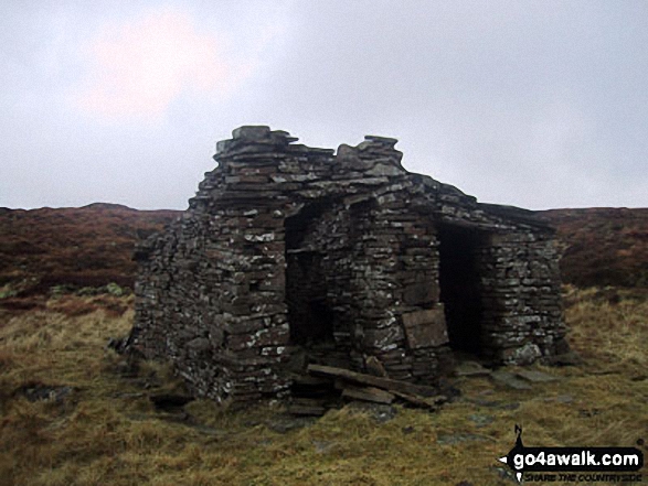
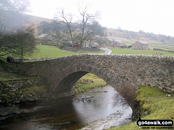
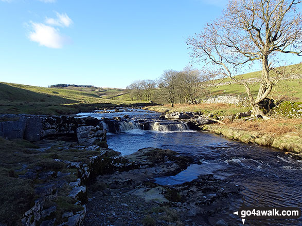
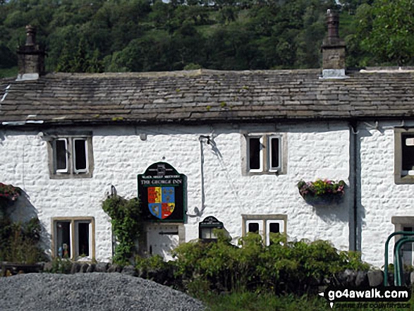
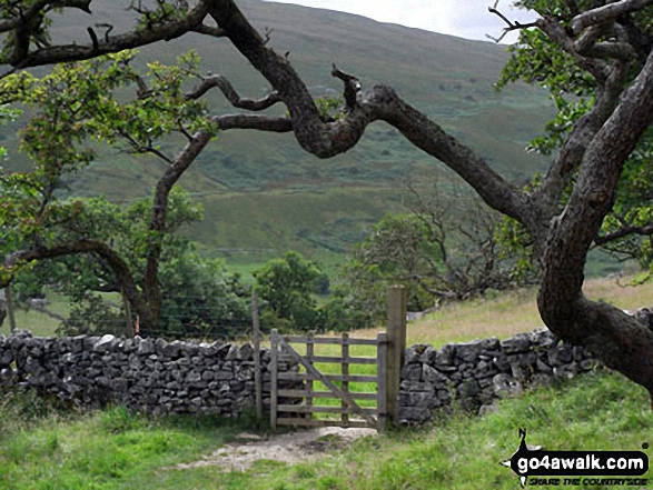
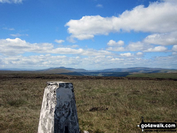
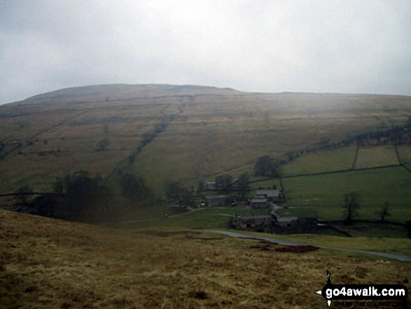
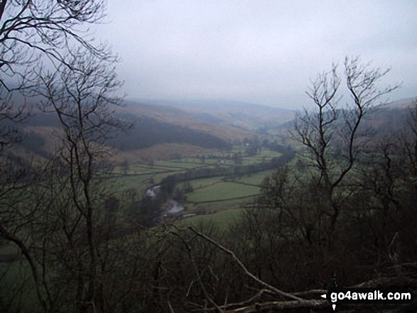
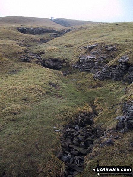
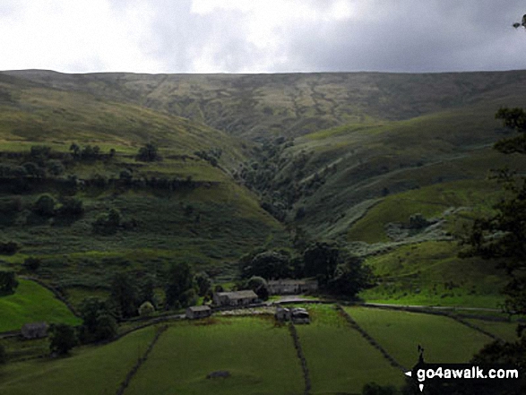
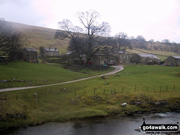
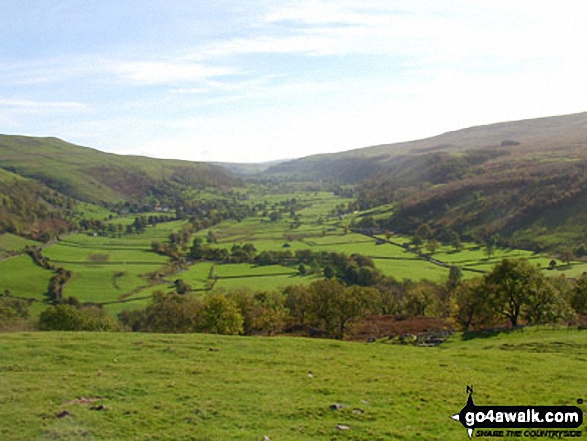
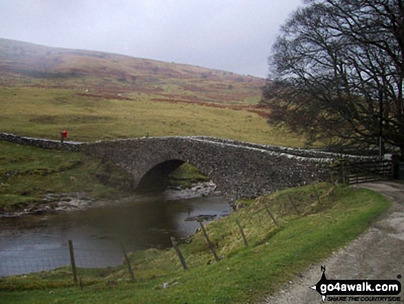
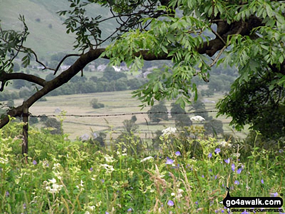
Some Photos and Pictures from Walk ny207 Yockenthwaite Moor from Buckden

In no particular order . . .
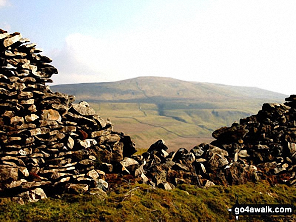
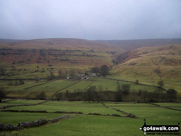
The River Wharfe

The River Wharfe

Photo: Christine Shepherd (774)

Yockenthwaite Bridge over the River Wharfe

Yockenthwaite Bridge over the River Wharfe

Photo: Gordon Reeves (7)

Yockenthwaite and Upper Wharfedale from Buckden Rake

Yockenthwaite and Upper Wharfedale from Buckden Rake

Photo: Gordon Reeves (1)

Cray Gill stepping stones

Cray Gill stepping stones

Photo: Gordon Reeves (2)

Yockenthwaite Farm

Yockenthwaite Farm

Photo: Matt Waite (8)

Yockenthwaite village

Yockenthwaite village

Photo: Gordon Reeves (8)

Yockenthwaite

Yockenthwaite

Photo: Christine Shepherd (776)

Ruin on Yockenthwaite Moor

Ruin on Yockenthwaite Moor

Photo: Christine Shepherd (140)

Yockenthwaite Moor summit trig point

Yockenthwaite Moor summit trig point

Photo: Gordon Reeves (4)

Climbing Yockenthwaite Moor via Strans Gill

Climbing Yockenthwaite Moor via Strans Gill

Photo: Gordon Reeves (3)


. . . load all 21 walk photos from Walk ny207 Yockenthwaite Moor from Buckden


Send us your photographs and pictures from your walks and hikes

We would love to see your photographs and pictures from walk ny207 Yockenthwaite Moor from Buckden. Send them in to us as email attachments (configured for any computer) along with your name and where the picture was taken to:

and we shall do our best to publish them.

(Guide Resolution = 300dpi. At least = 660 pixels (wide) x 440 pixels (high).)

Send us your walking and hiking photographs and pictures from walk ny207 Yockenthwaite Moor from Buckden via Facebook

You can also submit photos from walk ny207 Yockenthwaite Moor from Buckden via our Facebook Page.

NB. Please indicate where each photo was taken.


His morning walk was beneath the elms in the churchyard - Sir Walter Scott: 1771-1832
Follow go4awalk.com on Twitter Follow go4awalk.com on Facebook


Find new Friends to go walking with

Walk all 214 Wainwrights in just 59 Walks. Download GPS Waypoints - Great Walks you must not miss!

Walk The Yorkshire Three Peaks Challenge Walk - All the Latest Route Information, GPS Waypoints and Split Times to keep you on Schedule

Walk The British Three Peaks Challenge Walk - All the Latest Route Information and GPS Waypoints

See our pick of The Best Walks in The Lake District - Great Walks you must not miss!

Walk our pick of the Best Lake District Ridge Walks - Great Walks you must not miss!

Walk our pick of the Best Lake District Walks to do in the rain - Great Walks you must not miss!

Walk our pick of The Best Walks in Snowdonia - Great Walks you must not miss!

Walk our pick of The Best Ridge Walks in Wales - Walks you must not miss!

Walk our pick of The Best Walks in The Brecon Beacons - Great Walks you must not miss!

Walk our pick of The Best Walks in The Yorkshire Dales - Walks you must not miss!

Walk our pick of The Best Walks in The Peak District - Walks you must not miss!

Walk our pick of The Best Walks in The Forest of Bowland - Walks you must not miss!

Walk our pick of The Best Walks in Shropshire - Walks you must not miss!

Walk our pick of The Best Walks in Cheshire - Walks you must not miss!

Walk our pick of The Best Walks in Lancashire - Walks you must not miss!

Not sure where to walk next? Try Peak Bagging - Great Walks you must not miss!

Not sure where to walk next? Walk part of a National Trail - Great Walks you must not miss!

Walks with Downloadable and Uploadable GPS Waypoint Data

Walking Kit and Gear Tested by Walkers

Full Site Search
Do not miss our pick of the Best Walks in Britain