30 easy-to-follow circular walks in Devon

Thirty easy-to-follow hand-crafted circular walks, routes & maps in Devon of all grades in Walk Grade Order


See this list of walks, routes & maps in:

Grade Order | Length Order | Time Order | Walk Number or Start Location Order
NB. To reverse (toggle) this order, click Grade Order again


Walk 1 Walking Bootprint Icon

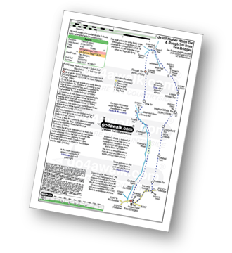
Walk de101 Higher White Tor and Rough Tor from Two Bridges

Wild moorland walking

Download GPS Waypoint Data for walk de101
Download GPX Waypoint Data for walk de101
Download Map and Route Details for walk de101

Vital Statistics:

Length:8.25 miles (13 km)
Ascent:1,027ft (313m)
Time:4 hrs
Grade:Grade 4 Walking Moderate
Walk 2 Walking Bootprint Icon

Walk de102 A circuit of Meldon Reservoir

Delightful lakeside stroll

Download GPS Waypoint Data for walk de102
Download GPX Waypoint Data for walk de102
Download Map and Route Details for walk de102

Vital Statistics:

Length:2.75 miles (4.5 km)
Ascent:696ft (212m)
Time:2 hrs
Grade:Grade 2 Walking Easy
Walk 3 Walking Bootprint Icon

Walk de103 The Teign Gorge from Dogmarsh Bridge

Popular gorge walk - and with good reason

Download GPS Waypoint Data for walk de103
Download GPX Waypoint Data for walk de103
Download Map and Route Details for walk de103

Vital Statistics:

Length:5.25 miles (8.5 km)
Ascent:912ft (278m)
Time:3 hrs
Grade:Grade 3 Walking Easy
Walk 4 Walking Bootprint Icon

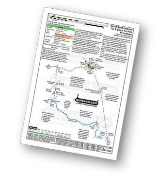
Walk de104 South Hessary Tor and Black Tor from Princetown

Easy moorland walk

Download GPS Waypoint Data for walk de104
Download GPX Waypoint Data for walk de104
Download Map and Route Details for walk de104

Vital Statistics:

Length:7.75 miles (12.5 km)
Ascent:643ft (196m)
Time:3½ hrs
Grade:Grade 3 Walking Easy
Walk 5 Walking Bootprint Icon

Walk de105 Watersmeet and Countisbury from Lynmouth

Great river valley & great coastal views

Download GPS Waypoint Data for walk de105
Download GPX Waypoint Data for walk de105
Download Map and Route Details for walk de105

Vital Statistics:

Length:5 miles (8 km)
Ascent:1,708ft (521m)
Time:3.75hrs
Grade:Grade 4 Walking Moderate
Walk 6 Walking Bootprint Icon

Walk de106 The Valley of Rocks from Lynton

Spectacular coastal views

Download GPS Waypoint Data for walk de106
Download GPX Waypoint Data for walk de106
Download Map and Route Details for walk de106

Vital Statistics:

Length:5.5 miles (8.5 km)
Ascent:1,493ft (455m)
Time:3½ hrs
Grade:Grade 4 Walking Moderate
Walk 7 Walking Bootprint Icon

Walk de107 Bellever Tor, Laughter Tor and Dartmeet from Postbridge

High moorland & pretty valleys - simply fantastic

Download GPS Waypoint Data for walk de107
Download GPX Waypoint Data for walk de107
Download Map and Route Details for walk de107

Vital Statistics:

Length:9.75 miles (15.5 km)
Ascent:1,457ft (444m)
Time:5 hrs
Grade:Grade 5 Walking Moderate
Walk 8 Walking Bootprint Icon

Walk de110 Great Links Tor and Kitty Tor from Sourton

High moorland walk to superb views

Download GPS Waypoint Data for walk de110
Download GPX Waypoint Data for walk de110
Download Map and Route Details for walk de110

Vital Statistics:

Length:9.5 miles (15.5 km)
Ascent:1,638ft (499m)
Time:5.25hrs
Grade:Grade 6 Walking Moderate
Walk 9 Walking Bootprint Icon

Walk de114 Belstone Cleave and The East Okement River from Belstone

Stunning river valley walk

Download GPS Waypoint Data for walk de114
Download GPX Waypoint Data for walk de114
Download Map and Route Details for walk de114

Vital Statistics:

Length:7 miles (11 km)
Ascent:1,185ft (361m)
Time:3.75hrs
Grade:Grade 5 Walking Moderate
Walk 10 Walking Bootprint Icon

Walk de115 Start Bay from Slapton Sands

Wild sea and nature reserve

Download GPS Waypoint Data for walk de115
Download GPX Waypoint Data for walk de115
Download Map and Route Details for walk de115

Vital Statistics:

Length:6.25 miles (10 km)
Ascent:998ft (304m)
Time:3.25hrs
Grade:Grade 4 Walking Moderate
Walk 11 Walking Bootprint Icon

Walk de117 Steeperton Tor from Belstone

Wild moorland walking

Download GPS Waypoint Data for walk de117
Download GPX Waypoint Data for walk de117
Download Map and Route Details for walk de117

Vital Statistics:

Length:7.5 miles (12 km)
Ascent:1,141ft (348m)
Time:3½ hrs
Grade:Grade 4 Walking Moderate
Walk 12 Walking Bootprint Icon

Walk de121 Hare Tor and Tavy Cleave from Lanehead

Wild moorland followed by a gorge

Download GPS Waypoint Data for walk de121
Download GPX Waypoint Data for walk de121
Download Map and Route Details for walk de121

Vital Statistics:

Length:4.5 miles (7 km)
Ascent:870ft (265m)
Time:2½ hrs
Grade:Grade 3 Walking Easy
Walk 13 Walking Bootprint Icon

Walk de122 North Hessary Tor, Great Mis Tor and Great Staple Tor from Princetown

High Moorland walk

Download GPS Waypoint Data for walk de122
Download GPX Waypoint Data for walk de122
Download Map and Route Details for walk de122

Vital Statistics:

Length:11 miles (17.5 km)
Ascent:1,526ft (476m)
Time:5½ hrs
Grade:Grade 6 Walking Moderate
Walk 14 Walking Bootprint Icon

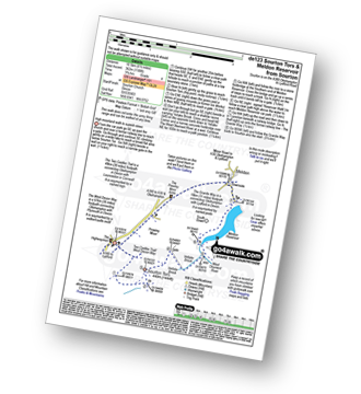
Walk de123 Sourton Tors and Meldon Reservoir from Sourton

High moorland walk to superb views

Download GPS Waypoint Data for walk de123
Download GPX Waypoint Data for walk de123
Download Map and Route Details for walk de123

Vital Statistics:

Length:6.5 miles (10.5 km)
Ascent:1,188ft (362m)
Time:3.75hrs
Grade:Grade 4 Walking Moderate
Walk 15 Walking Bootprint Icon

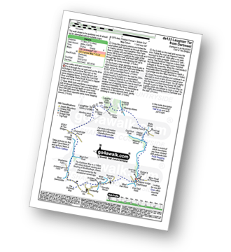
Walk de133 Laughter Tor from Dartmeet

Lovely valley and open moorland

Download GPS Waypoint Data for walk de133
Download GPX Waypoint Data for walk de133
Download Map and Route Details for walk de133

Vital Statistics:

Length:7.25 miles (11.5 km)
Ascent:1,247ft (380m)
Time:3.25hrs
Grade:Grade 4 Walking Moderate
Walk 16 Walking Bootprint Icon

Walk de134 Stockleigh Pomeroy and Raddon Hills from Shobrooke

Fine views from a less travelled part of Devon

Download GPS Waypoint Data for walk de134
Download GPX Waypoint Data for walk de134
Download Map and Route Details for walk de134

Vital Statistics:

Length:6.75 miles (11 km)
Ascent:1,208ft (368m)
Time:3.75hrs
Grade:Grade 4 Walking Moderate
Walk 17 Walking Bootprint Icon

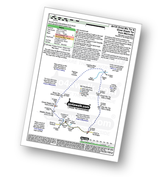
Walk de135 Great Mis Tor and Great Staple Tor from Merrivale

High Moorland walk

Download GPS Waypoint Data for walk de135
Download GPX Waypoint Data for walk de135
Download Map and Route Details for walk de135

Vital Statistics:

Length:6.25 miles (10 km)
Ascent:1,139ft (347m)
Time:3½ hrs
Grade:Grade 4 Walking Moderate
Walk 18 Walking Bootprint Icon

Walk de138 Hound Tor (Bonehill Down) and Bowerman's Nose from Swallerton Gate

Lovely moorland walk to a famous feature

Download GPS Waypoint Data for walk de138
Download GPX Waypoint Data for walk de138
Download Map and Route Details for walk de138

Vital Statistics:

Length:6.25 miles (10 km)
Ascent:1,132ft (345m)
Time:3½ hrs
Grade:Grade 4 Walking Moderate
Walk 19 Walking Bootprint Icon

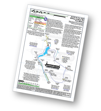
Walk de139 Yes Tor, High Willhays and Black Tor from Meldon Reservoir

Dartmoor's (& Devon's) highest point

Download GPS Waypoint Data for walk de139
Download GPX Waypoint Data for walk de139
Download Map and Route Details for walk de139

Vital Statistics:

Length:6.25 miles (10 km)
Ascent:1,621ft (494m)
Time:4 hrs
Grade:Grade 5 Walking Moderate
Walk 20 Walking Bootprint Icon

Walk de143 Steeperton Tor and Cosdon Tor from Belstone

Wild moorland walking on two of Dartmoor's highest

Download GPS Waypoint Data for walk de143
Download GPX Waypoint Data for walk de143
Download Map and Route Details for walk de143

Vital Statistics:

Length:10.25 miles (16.5 km)
Ascent:1,664ft (507m)
Time:5½ hrs
Grade:Grade 6 Walking Moderate
Walk 21 Walking Bootprint Icon

Walk de144 Great Mis Tor from Merrivale

High Moorland walk

Download GPS Waypoint Data for walk de144
Download GPX Waypoint Data for walk de144
Download Map and Route Details for walk de144

Vital Statistics:

Length:5 miles (8 km)
Ascent:748ft (228m)
Time:2.75hrs
Grade:Grade 3 Walking Easy
Walk 22 Walking Bootprint Icon

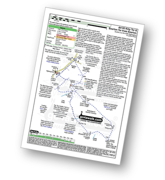
Walk de145 Kitty Tor and Sourton Tor from Sourton

High moorland walk to superb views

Download GPS Waypoint Data for walk de145
Download GPX Waypoint Data for walk de145
Download Map and Route Details for walk de145

Vital Statistics:

Length:8.25 miles (13 km)
Ascent:1,375ft (419m)
Time:4½ hrs
Grade:Grade 5 Walking Moderate
Walk 23 Walking Bootprint Icon

Walk de146 North Hessary Tor from Princetown

Easy walk to fine views in all directions

Download GPS Waypoint Data for walk de146
Download GPX Waypoint Data for walk de146
Download Map and Route Details for walk de146

Vital Statistics:

Length:4.75 miles (7.5 km)
Ascent:525ft (160m)
Time:2.25hrs
Grade:Grade 2 Walking Easy
Walk 24 Walking Bootprint Icon

Walk de149 Yes Tor and High Willhays from Okehampton Camp

Dartmoor's (& Devon's) highest point

Download GPS Waypoint Data for walk de149
Download GPX Waypoint Data for walk de149
Download Map and Route Details for walk de149

Vital Statistics:

Length:6 miles (9.5 km)
Ascent:1,188ft (362m)
Time:3½ hrs
Grade:Grade 4 Walking Moderate
Walk 25 Walking Bootprint Icon

Walk de152 Belstone Tor from Belstone

Wild moorland walking

Download GPS Waypoint Data for walk de152
Download GPX Waypoint Data for walk de152
Download Map and Route Details for walk de152

Vital Statistics:

Length:5.75 miles (9 km)
Ascent:824ft (251m)
Time:3 hrs
Grade:Grade 3 Walking Easy
Walk 26 Walking Bootprint Icon

Walk de166 Higher White Tor from Two Bridges

Wild moorland walking

Download GPS Waypoint Data for walk de166
Download GPX Waypoint Data for walk de166
Download Map and Route Details for walk de166

Vital Statistics:

Length:5 miles (8 km)
Ascent:794ft (242m)
Time:2.77hrs
Grade:Grade 3 Walking Easy
Walk 27 Walking Bootprint Icon

Walk de171 Lynch Tor and Fur Tor from Lanehead

Wild moorland and a dramatic ravine

Download GPS Waypoint Data for walk de171
Download GPX Waypoint Data for walk de171
Download Map and Route Details for walk de171

Vital Statistics:

Length:9 miles (14.5 km)
Ascent:1,398ft (426m)
Time:4.75hrs
Grade:Grade 5 Walking Moderate
Walk 28 Walking Bootprint Icon

Walk de177 Yes Tor and High Willhays from Meldon Reservoir

Dartmoor's (& Devon's) highest point

Download GPS Waypoint Data for walk de177
Download GPX Waypoint Data for walk de177
Download Map and Route Details for walk de177

Vital Statistics:

Length:9.5 miles (15 km)
Ascent:1,687ft (514m)
Time:5 hrs
Grade:Grade 6 Walking Moderate
Walk 29 Walking Bootprint Icon

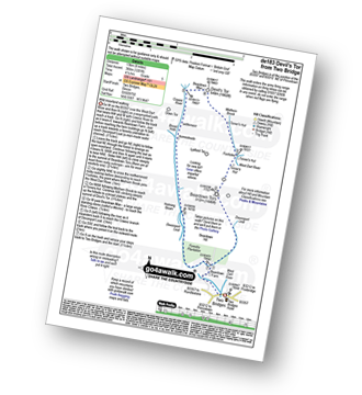
Walk de183 Devil's Tor from Two Bridges

Wild moorland walking

Download GPS Waypoint Data for walk de183
Download GPX Waypoint Data for walk de183
Download Map and Route Details for walk de183

Vital Statistics:

Length:8.25 miles (13 km)
Ascent:1,201ft (366m)
Time:4.25hrs
Grade:Grade 5 Walking Moderate
Walk 30 Walking Bootprint Icon

Walk de202 Bellever Tor and Laughter Tor from Postbridge

Fine views and an ancient clapper bridge

Download GPS Waypoint Data for walk de202
Download GPX Waypoint Data for walk de202
Download Map and Route Details for walk de202

Vital Statistics:

Length:5.25 miles (8.5 km)
Ascent:821ft (250m)
Time:2.75hrs
Grade:Grade 3 Walking Easy

See this list of walks, routes & maps in:

Grade Order | Length Order | Time Order | Walk Number or Start Location Order
NB. To reverse (toggle) this order, click Grade Order again


Follow go4awalk.com on Twitter Follow go4awalk.com on Facebook


Home


Find new Friends to go walking with

Walk all 214 Wainwrights in just 59 Walks. Download GPS Waypoints - Great Walks you must not miss!

Walk The Yorkshire Three Peaks Challenge Walk - All the Latest Route Information, GPS Waypoints and Split Times to keep you on Schedule

Walk The British Three Peaks Challenge Walk - All the Latest Route Information and GPS Waypoints

See our pick of The Best Walks in The Lake District - Great Walks you must not miss!

Walk our pick of the Best Lake District Ridge Walks - Great Walks you must not miss!

Walk our pick of the Best Lake District Walks to do in the rain - Great Walks you must not miss!

Walk our pick of The Best Walks in Snowdonia - Great Walks you must not miss!

Walk our pick of The Best Ridge Walks in Wales - Walks you must not miss!

Walk our pick of The Best Walks in The Brecon Beacons - Great Walks you must not miss!

Walk our pick of The Best Walks in The Yorkshire Dales - Walks you must not miss!

Walk our pick of The Best Walks in The Peak District - Walks you must not miss!

Walk our pick of The Best Walks in The Forest of Bowland - Walks you must not miss!

Walk our pick of The Best Walks in Shropshire - Walks you must not miss!

Walk our pick of The Best Walks in Cheshire - Walks you must not miss!

Walk our pick of The Best Walks in Lancashire - Walks you must not miss!

Not sure where to walk next? Try Peak Bagging - Great Walks you must not miss!

Not sure where to walk next? Walk part of a National Trail - Great Walks you must not miss!

Walks with Downloadable and Uploadable GPS Waypoint Data

Walking Kit and Gear Tested by Walkers

Full Site Search
Do not miss our pick of the Best Walks in the UK