12 easy-to-follow circular walks in South Yorkshire

Twelve easy-to-follow hand-crafted circular walks, routes & maps in South Yorkshire of all grades in Walk Grade Order


See this list of walks, routes & maps in:

Grade Order | Length Order | Time Order | Walk Number or Start Location Order
NB. To reverse (toggle) this order, click Grade Order again


Walk 1 Walking Bootprint Icon

Walk sy100 The Cuckoo Way and Turnerwood from Harthill

Easy walking on fields and towpaths

Download GPS Waypoint Data for walk sy100
Download GPX Waypoint Data for walk sy100
Download Map and Route Details for walk sy100

Vital Statistics:

Length:10 miles (16 km)
Ascent:515ft (157m)
Time:4½ hrs
Grade:Grade 4 Walking Moderate
Walk 2 Walking Bootprint Icon

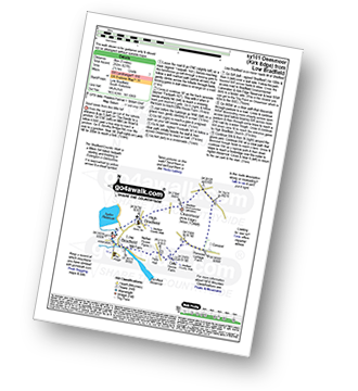
Walk sy101 Onesmoor (Kirk Edge) from Low Bradfield

Good views from this little hill

Download GPS Waypoint Data for walk sy101
Download GPX Waypoint Data for walk sy101
Download Map and Route Details for walk sy101

Vital Statistics:

Length:5 miles (8 km)
Ascent:827ft (252m)
Time:2½ hrs
Grade:Grade 3 Walking Easy
Walk 3 Walking Bootprint Icon

Walk sy102 Pike Lowe from Langsett Barn

Download GPS Waypoint Data for walk sy102
Download GPX Waypoint Data for walk sy102
Download Map and Route Details for walk sy102

Vital Statistics:

Length:7.5 miles (12 km)
Ascent:1,118ft (360m)
Time:4 hrs
Grade:Grade 4 Walking Moderate
Walk 4 Walking Bootprint Icon

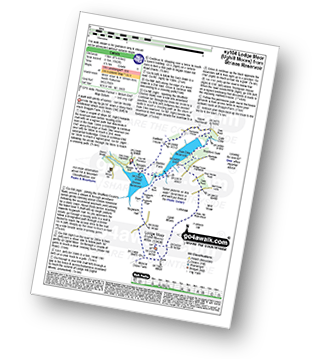
Walk sy104 Lodge Moor (Ughill Moors) from Strines Reservoir

A walk with plenty of variety - can be muddy

Download GPS Waypoint Data for walk sy104
Download GPX Waypoint Data for walk sy104
Download Map and Route Details for walk sy104

Vital Statistics:

Length:8.25 miles (13 km)
Ascent:1,362ft (415m)
Time:4.25hrs
Grade:Grade 5 Walking Moderate
Walk 5 Walking Bootprint Icon

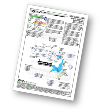
Walk sy106 Snailsden from Winscar Reservoir, Dunford Bridge

Huge views from such a little hill

Download GPS Waypoint Data for walk sy106
Download GPX Waypoint Data for walk sy106
Download Map and Route Details for walk sy106

Vital Statistics:

Length:5.5 miles (8.5 km)
Ascent:728ft (222m)
Time:2.75hrs
Grade:Grade 3 Walking Easy
Walk 6 Walking Bootprint Icon

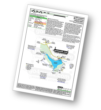
Walk sy108 Langsett Reservoir from Langsett Barn

Waterside and wild moorland walking

Download GPS Waypoint Data for walk sy108
Download GPX Waypoint Data for walk sy108
Download Map and Route Details for walk sy108

Vital Statistics:

Length:3.75 miles (6.5 km)
Ascent:673ft (205m)
Time:2.25hrs
Grade:Grade 3 Walking Easy
Walk 7 Walking Bootprint Icon

Walk sy112 South Nab from Winscar Reservoir, Dunford Bridge

Wild walk to huge 360° views

Download GPS Waypoint Data for walk sy112
Download GPX Waypoint Data for walk sy112
Download Map and Route Details for walk sy112

Vital Statistics:

Length:5.25 miles (8.5 km)
Ascent:817ft (249m)
Time:2.75hrs
Grade:Grade 3 Walking Easy
Walk 8 Walking Bootprint Icon

Walk sy114 The Cuckoo Way and Thorpe Salvin from Harthill

Easy walking on fields and towpaths

Download GPS Waypoint Data for walk sy114
Download GPX Waypoint Data for walk sy114
Download Map and Route Details for walk sy114

Vital Statistics:

Length:8.25 miles (13 km)
Ascent:404ft (123m)
Time:3½ hrs
Grade:Grade 3 Walking Easy
Walk 9 Walking Bootprint Icon

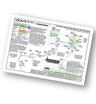
Walk sy119 Horse Stone and Outer Edge from The Flouch

Fine moorland walk - but good navigation skills needed in mist

Download GPS Waypoint Data for walk sy119
Download GPX Waypoint Data for walk sy119
Download Map and Route Details for walk sy119

Vital Statistics:

Length:11.5 miles (18.5 km)
Ascent:1,674ft (510m)
Time:6 hrs
Grade:Grade 6 Walking Moderate
Walk 10 Walking Bootprint Icon

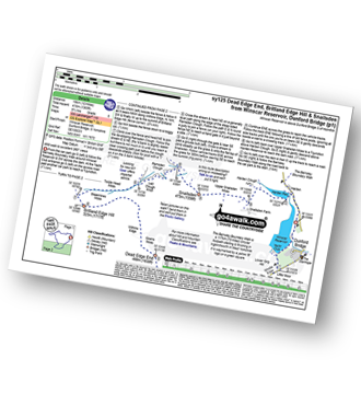
Walk sy125 Dead Edge End, Britland Edge Hill and Snailsden from Winscar Reservoir, Dunford Bridge

Wild walk to excellent 360� views

Download GPS Waypoint Data for walk sy125
Download GPX Waypoint Data for walk sy125
Download Map and Route Details for walk sy125

Vital Statistics:

Length:12 miles (19 km)
Ascent:1,365ft (416m)
Time:5.75hrs
Grade:Grade 6 Walking Moderate
Walk 11 Walking Bootprint Icon

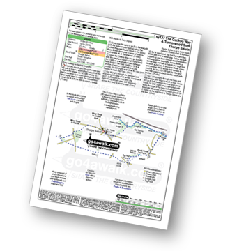
Walk sy127 The Cuckoo Way and Turnerwood from Thorpe Salvin

Easy walking on fields and towpaths

Download GPS Waypoint Data for walk sy127
Download GPX Waypoint Data for walk sy127
Download Map and Route Details for walk sy127

Vital Statistics:

Length:6 miles (9.5 km)
Ascent:331ft (101m)
Time:2½ hrs
Grade:Grade 2 Walking Easy
Walk 12 Walking Bootprint Icon

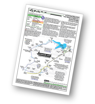
Walk sy134 Dead Edge End from Winscar Reservoir, Dunford Bridge

Wild walk to excellent 360° views

Download GPS Waypoint Data for walk sy134
Download GPX Waypoint Data for walk sy134
Download Map and Route Details for walk sy134

Vital Statistics:

Length:7.25 miles (11.5 km)
Ascent:896ft (273m)
Time:3.75hrs
Grade:Grade 5 Walking Moderate

See this list of walks, routes & maps in:

Grade Order | Length Order | Time Order | Walk Number or Start Location Order
NB. To reverse (toggle) this order, click Grade Order again


Do not miss our pick of the Best Walks in the UK


Follow go4awalk.com on Twitter Follow go4awalk.com on Facebook


Home


Find new Friends to go walking with

Walk all 214 Wainwrights in just 59 Walks. Download GPS Waypoints - Great Walks you must not miss!

Walk The Yorkshire Three Peaks Challenge Walk - All the Latest Route Information, GPS Waypoints and Split Times to keep you on Schedule

Walk The British Three Peaks Challenge Walk - All the Latest Route Information and GPS Waypoints

See our pick of The Best Walks in The Lake District - Great Walks you must not miss!

Walk our pick of the Best Lake District Ridge Walks - Great Walks you must not miss!

Walk our pick of the Best Lake District Walks to do in the rain - Great Walks you must not miss!

Walk our pick of The Best Walks in Snowdonia - Great Walks you must not miss!

Walk our pick of The Best Ridge Walks in Wales - Walks you must not miss!

Walk our pick of The Best Walks in The Brecon Beacons - Great Walks you must not miss!

Walk our pick of The Best Walks in The Yorkshire Dales - Walks you must not miss!

Walk our pick of The Best Walks in The Peak District - Walks you must not miss!

Walk our pick of The Best Walks in The Forest of Bowland - Walks you must not miss!

Walk our pick of The Best Walks in Shropshire - Walks you must not miss!

Walk our pick of The Best Walks in Cheshire - Walks you must not miss!

Walk our pick of The Best Walks in Lancashire - Walks you must not miss!

Not sure where to walk next? Try Peak Bagging - Great Walks you must not miss!

Not sure where to walk next? Walk part of a National Trail - Great Walks you must not miss!

Walks with Downloadable and Uploadable GPS Waypoint Data

Walking Kit and Gear Tested by Walkers

Full Site Search