Walk de143 Steeperton Tor and Cosdon Tor from Belstone

This 10¼ mile, Grade 6 (Moderate), easy-to-follow, hand-crafted walk, complete with GPS Waypoints, starts at Belstone & will take about 5½ hrs to complete.

Download Walk PDF Icon
Download GPX Track Icon
Download GPS Waypoints Icon

Vital Statistics:

Length:10¼mls (16.5km)
Ascent:1,664ft (507m)
Time:5½hrs
Grade:Walk Grade 6_23_with_text.png Icon

Route outline for walk de143:

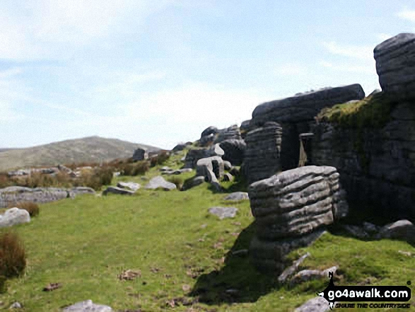
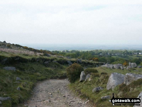
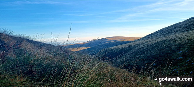
Belstone  -  The Tarka Trail  -  Nine Stones Stone Circle  -  Belstone Tor  -  Irishman's Wall  -  Higher Tor  -  Okehampton Army Firing Range  -  Oke Tor  -  The River Taw  -  Steeperton Tor  -  Steeperton Brook  -  Wild Tor  -  Hound Tor  -  White Moor Stone Circle  -  Little Hound Tor  -  South Tawton Common  -  Cosdon Hill (Cawsand Hill)  -  Skaigh Warren  -  The River Taw  -  Belstone

Points of Interest/Notes on this walk:

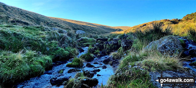
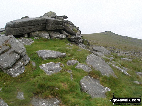
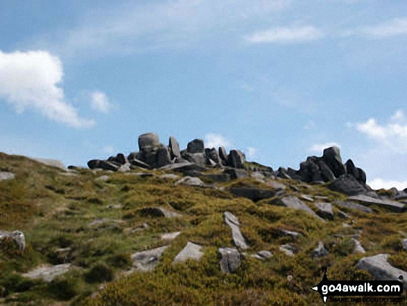
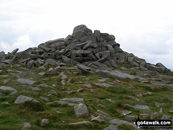
The odd shaped lumps of rock strewn across so many of the South West's tors are collectively known as 'clitter'.

Peaks, Summits and Tops reached on this walk:

Hewitt Icon
0
English
Mountains
Wainwright Icon
0
Wainwrights
English Nuttall Icon
0
English
Nuttalls
Dewey Icon
2
English
Deweys
Wainwright Outlying Fell Icon
0
Wainwright
Outlying Fells
Marilyn Icon
0
Marilyns
Bridget Icon
1
Bridget

Peak Bagging Statistics for this walk:

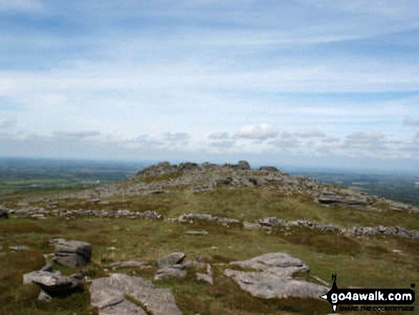
The highest point of this walk is Cosdon Hill (Cawsand Hill) at 551m (1808ft). Cosdon Hill (Cawsand Hill) is also known as an English Dewey (70th highest in England, 160th in England & Wales) The summit of Cosdon Hill (Cawsand Hill) is marked by an Ordnance Survey Trig Point.

Completing this walk will also take you to the top of Steeperton Tor at 532m (1746ft). Steeperton Tor is also known as an English Dewey (110th highest in England, 258th in England & Wales)

You will also reach the summit of Belstone Tor at 479m (1572ft). Belstone Tor is known as an English Bridget.

National Trails & Long Paths included on this walk:

Part of this walk follows a section of The Tarka Trail, a 291km (181 miles) circular footpath starting and finishing in Barnstaple in Devon, England. The Tarka Trail is waymarked by an Otter pawprint. For more walks that include a section of this trail see The Tarka Trail.


You can find this walk and other nearby walks on these unique Interactive Walk Planning Maps:

(worth a look if you're new to go4awalk.com & have never seen one of these before.)

Dartmoor National Park


1:25,000 scale OS Explorer Map (orange/yellow covers):

OS Explorer OL28 Dartmoor


1:50,000 scale OS Landranger Map (pink/magenta covers):

OS Landranger 191 Okehampton & North Dartmoor


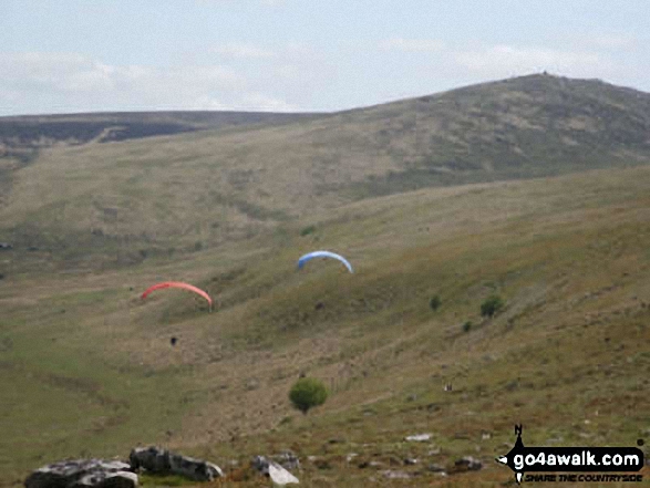
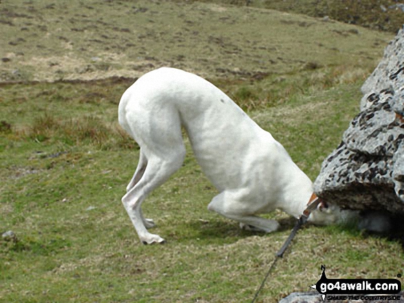
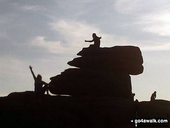
Some Photos and Pictures from Walk de143 Steeperton Tor and Cosdon Tor from Belstone

In no particular order . . .

Hang Gliders from Oke Tor

Hang Gliders from Oke Tor

Photo: Stephen Worth (24)

On Steeperton Tor

On Steeperton Tor

Photo: Colin W (3)

On Steeperton Tor

On Steeperton Tor

Photo: Colin W (1)

Walking back to Belstone

Walking back to Belstone

Photo: Stephen Worth (28)

Oke Tor

Oke Tor

Photo: Stephen Worth (25)

Me and the children at the top of Hound Tor

Me and the children at the top of Hound Tor

Photo: Trina Foley (1)

Higher Tor and Belstone Tor from Steeperton Tor

Higher Tor and Belstone Tor from Steeperton Tor

Photo: Stephen Worth (27)

Nine Stones Stone Circle

Nine Stones Stone Circle

Photo: Charles Silcox (4)

Belstone Tor summit clitter

Belstone Tor summit clitter

Photo: Stephen Worth (21)

Waymarker for The Tarka Trail on a gate post South of Belstone

Waymarker for The Tarka Trail on a gate post South of Belstone

Photo: Charles Silcox (2)


. . . load all 21 walk photos from Walk de143 Steeperton Tor and Cosdon Tor from Belstone


Send us your photographs and pictures from your walks and hikes

Send them in to us as email attachments (configured for any computer) along with your name/username and where the picture was taken to:

and we shall do our best to publish them.

(Guide Resolution = 300dpi. At least = 660 pixels (wide) x 440 pixels (high).)

Facebook Logo

You can also submit photos via our Facebook Page.

NB. Please indicate where each photo was taken so we can match it to a walk route.


Do not miss our pick of the Best Walks in Britain


His morning walk was beneath the elms in the churchyard - Sir Walter Scott: 1771-1832
Follow go4awalk.com on Twitter Follow go4awalk.com on Facebook


Find new Friends to go walking with

Walk all 214 Wainwrights in just 59 Walks. Download GPS Waypoints - Great Walks you must not miss!

Walk The Yorkshire Three Peaks Challenge Walk - All the Latest Route Information, GPS Waypoints and Split Times to keep you on Schedule

Walk The British Three Peaks Challenge Walk - All the Latest Route Information and GPS Waypoints

See our pick of The Best Walks in The Lake District - Great Walks you must not miss!

Walk our pick of the Best Lake District Ridge Walks - Great Walks you must not miss!

Walk our pick of the Best Lake District Walks to do in the rain - Great Walks you must not miss!

Walk our pick of The Best Walks in Snowdonia - Great Walks you must not miss!

Walk our pick of The Best Ridge Walks in Wales - Walks you must not miss!

Walk our pick of The Best Walks in The Brecon Beacons - Great Walks you must not miss!

Walk our pick of The Best Walks in The Yorkshire Dales - Walks you must not miss!

Walk our pick of The Best Walks in The Peak District - Walks you must not miss!

Walk our pick of The Best Walks in The Forest of Bowland - Walks you must not miss!

Walk our pick of The Best Walks in Shropshire - Walks you must not miss!

Walk our pick of The Best Walks in Cheshire - Walks you must not miss!

Walk our pick of The Best Walks in Lancashire - Walks you must not miss!

Not sure where to walk next? Try Peak Bagging - Great Walks you must not miss!

Not sure where to walk next? Walk part of a National Trail - Great Walks you must not miss!

Walks with Downloadable and Uploadable GPS Waypoint Data

Walking Kit and Gear Tested by Walkers

Full Site Search
Do not miss our pick of the Best Walks in Britain