
Peak Bagging The Lake District South Eastern Marches
The Lake District South Eastern Marches are enclosed by:
- The A591 from Ambleside towards Kendal to the North
- The new National Park boundary to Morecambe Bay to the East
- Morecambe Bay to the A590 at Greenodd to the South
- The A590 to Newby Bridge and then the shore of Lake Winderemere to Ambleside to the West
To see interactive maps and list of walks in the area see Walks in the Lake District South Eastern Marches.
The Mountains, Peaks, Tops and Hills of The South Eastern Marches
There are 14 'tops' to walk up, bag and conquer, the highest point is Brunt Knott (South Top) and the area includes:
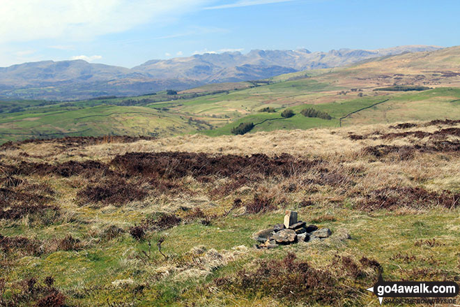 The summit of Brunt Knott (South Top)
Photo: Andy Lyons
| 0 |  |
Wainwrights |
| 0 |  |
Mountains (aka Hewitts) |
| 0 |  |
Deweys |
| 0 |  |
Nuttalls |
| 11 | |
Wainwright Outlying Fells |
| 1 |  |
Marilyn |
| 3 |  |
Hills (aka Bridgets) and |
| 4 |  |
Mountains, Tops, Peaks or Hills with a Trig Point on or near the top |
See these 14 Mountains, Peaks, Tops and Hills
- On an Interactive Google Map with a list of tops below it.
- On a Detailed List in:
Alphabetical Order | Height Order - On one page with 'yet-to-be-bagged' listed 1st
& then 'already-bagged' tops listed 2nd in:
Alphabetical Order | Height Order - On one page with 'already-bagged' tops listed 1st
& then 'yet-to-be-bagged' tops listed 2nd in:
Alphabetical Order | Height Order





