![]()
Peak Bagging The Whole of The Lake District
The Whole of The Lake District is located in North West England, within the county of Cumbria.
Often referred to as 'The Lakes' or 'Lakeland', The Lake District is mountainous region renowned for the beauty of its forests, lake and mountains. Covering and area of 2,362 km² (912 sq mi), The Lake District is the second largest National Park in the UK (after the Cairngorms in Scotland) and the most visited.
It is home to the highest mountain in England - Scafell Pike; the deepest lake - Wast Water; the longest body of water - Windermere and the wettest inhabited place in England - Seathwaite in Borrowdale with an average of 3,300 mm of rain per year. That's 130 inches or nearly 11 feet! And nearby uninhabited Sprinkling Tarn is even wetter with over 5,000 mm, 200 inches or over 16 feet of rain per year.
 Bagging Scafell Pike
Photo: John Turner
The Lake District is also home to the majority of the red squirrels in England, along with red deer, fell ponies, Herdwick sheep, osprey and red kite. The last golden eagle hasn't been seen since 2015.
The main settlements to go walking from are: Ambleside, Bowness-on-Windermere, Broughton-in-Furness, Coniston, Glenridding, Gosforth, Grasmere, Hawkshead, Keswick, Lindale, Pooley Bridge, Newby Bridge, Staveley, Threlkeld, and Windermere.
To see interactive maps and list of walks in the area see Walks in the Lake District.
The Mountains, Peaks, Tops and Hills of The Lake District
There are 434 'tops' to walk up, bag and conquer, the highest point is Scafell Pike and the area includes:
 The view from Scafell Pike
Photo: David Cochrane
| 214 | Wainwrights | |
| 114 | Mountains (aka Hewitts) | |
| 53 | Deweys | |
| 169 | Nuttalls | |
| 116 | Wainwright Outlying Fells | |
| 53 | Marilyns | |
| 32 | Hills (aka Bridgets) and | |
| 60 | Mountains, Tops, Peaks or Hills with a Trig Point on or near the top |
See these 434 Mountains, Peaks, Tops and Hills
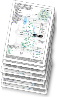
- On Seven Downloadable PDFs you can print or save to your phone covering:
- The Central Fells #
- The Eastern Fells #
- The Far Eastern Fells #
- The Northern Fells #
- The North Western Fells #
- The Southern Fells #
- The Western Fells #
- On Seven Special Wainwright Baggers' versions of the above Downloadable PDFs you can print or save to your phone detailing the routes that Bag All 214 Wainwrights in just 59 walks:
- The Wainwrights in the Central Fells Area #
- The Wainwrights in the The Eastern Fells Area #
- The Wainwrights in the The Far Eastern Fells Area #
- The Wainwrights in the The Northern Fells Area #
- The Wainwrights in the The North Western Fells Area #
- The Wainwrights in the The Southern Fells Area #
- The Wainwrights in the The Western Fells Area #
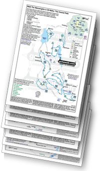
# Whether you print copies or download them to your phone, these Peak Baggers' Maps will prove incredibly useful if you want to know what's what when you are up in the mountains and cannot get a phone signal.
On Interactive Google Maps and Lists
- On an Interactive Google Map with a list of tops below it.
- On a Detailed List in:
Alphabetical Order | Height Order - On one page with 'yet-to-be-bagged' listed 1st
& then 'already-bagged' tops listed 2nd in:
Alphabetical Order | Height Order - On one page with 'already-bagged' tops listed 1st
& then 'yet-to-be-bagged' tops listed 2nd in:
Alphabetical Order | Height Order


