The 30 nearest, easy-to-follow, circular walks, routes & maps to UK Postcode KY16

The thirty nearest, easy-to-follow, circular walks, routes & maps to UK Postcode KY16 in Walk Grade Order

Walk 1 Walking Bootprint Icon

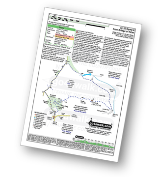
Walk st132 Dumyat from Bridge of Allan

Superb views in all directions

Download GPS Waypoint Data for walk st132
Download GPX Waypoint Data for walk st132
Download Map and Route Details for walk st132

Vital Statistics:

Length:7.25 miles (11.5 km)
Ascent:1,894ft (577m)
Time:4½ hrs
Grade:Grade 5 Walking Moderate
Walk 2 Walking Bootprint Icon

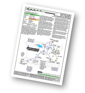
Walk ad103 Carn Aosda, Carn a' Gheoidh and The Cairnwell from Glen Shee

The easiest three Munros to climb and bag

Download GPS Waypoint Data for walk ad103
Download GPX Waypoint Data for walk ad103
Download Map and Route Details for walk ad103

Vital Statistics:

Length:7.75 miles (12.5 km)
Ascent:2,274ft (693m)
Time:5.25hrs
Grade:Grade 6 Walking Moderate
Walk 3 Walking Bootprint Icon

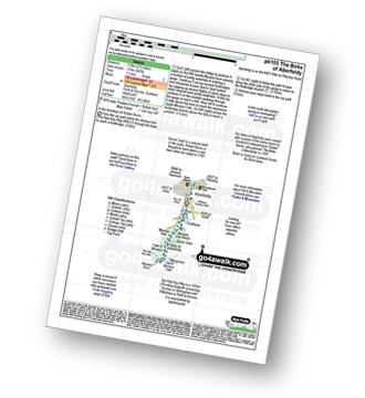
Walk pk105 The Birks of Aberfeldy from Aberfeldy

In the footsteps of Robbie Burns

Download GPS Waypoint Data for walk pk105
Download GPX Waypoint Data for walk pk105
Download Map and Route Details for walk pk105

Vital Statistics:

Length:2.75 miles (4.5 km)
Ascent:587ft (179m)
Time:1.75hrs
Grade:Grade 2 Walking Easy
Walk 4 Walking Bootprint Icon

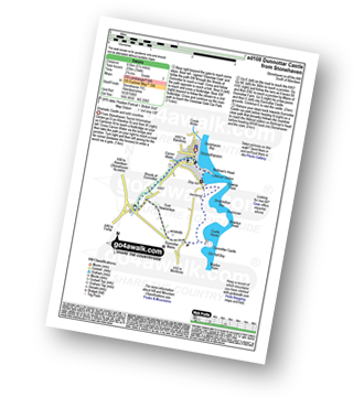
Walk ad108 Dunnottar Castle from Stonehaven

Dramatic Castle and wild coastline

Download GPS Waypoint Data for walk ad108
Download GPX Waypoint Data for walk ad108
Download Map and Route Details for walk ad108

Vital Statistics:

Length:4.75 miles (7.5 km)
Ascent:784ft (239m)
Time:2½ hrs
Grade:Grade 3 Walking Easy
Walk 5 Walking Bootprint Icon

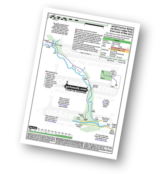
Walk ad125 Corrour Bothy, Lairig Ghru via Derry Lodge from Linn of Dee

Easy walking, deep in the mountains

Download GPS Waypoint Data for walk ad125
Download GPX Waypoint Data for walk ad125
Download Map and Route Details for walk ad125

Vital Statistics:

Length:8.25 miles (13 km)
Ascent:1,113ft (339m)
Time:4 hrs
Grade:Grade 4 Walking Moderate
Walk 6 Walking Bootprint Icon

Walk ad126 Glen Dee via White Bridge from Linn of Dee

Easy walking, deep in the mountains

Download GPS Waypoint Data for walk ad126
Download GPX Waypoint Data for walk ad126
Download Map and Route Details for walk ad126

Vital Statistics:

Length:7 miles (11 km)
Ascent:610ft (186m)
Time:3.25hrs
Grade:Grade 3 Walking Easy
Walk 7 Walking Bootprint Icon

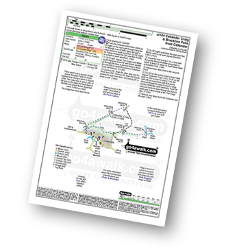
Walk st144 Callander Craig from Bracklinn Falls

A truly spectacular waterfall

Download GPS Waypoint Data for walk st144
Download GPX Waypoint Data for walk st144
Download Map and Route Details for walk st144

Vital Statistics:

Length:5.25 miles (8.5 km)
Ascent:1,165ft (355m)
Time:3½ hrs
Grade:Grade 4 Walking Moderate
Walk 8 Walking Bootprint Icon

Walk st136 Ben Ledi from Pass of Leny

Fine views to the North and South

Download GPS Waypoint Data for walk st136
Download GPX Waypoint Data for walk st136
Download Map and Route Details for walk st136

Vital Statistics:

Length:6.25 miles (9.5 km)
Ascent:2,681ft (817m)
Time:5 hrs
Grade:Grade 6 Walking Moderate
Walk 9 Walking Bootprint Icon

Walk st122 Beinn an t-Sidhein from Strathyre

Fine views in legendary surroundings

Download GPS Waypoint Data for walk st122
Download GPX Waypoint Data for walk st122
Download Map and Route Details for walk st122

Vital Statistics:

Length:6.25 miles (10 km)
Ascent:1,848ft (563m)
Time:4.25hrs
Grade:Grade 5 Walking Moderate
Walk 10 Walking Bootprint Icon

Walk st103 Loch Tay from Killin

Lovely evening stroll along the Loch shore

Download GPS Waypoint Data for walk st103
Download GPX Waypoint Data for walk st103
Download Map and Route Details for walk st103

Vital Statistics:

Length:2.75 miles (4.5 km)
Ascent:82ft (25m)
Time:1 hrs
Grade:Grade 1 Walking Easy
Walk 11 Walking Bootprint Icon

Walk ad104 The Devil's Point and Cairn Toul from Corrour Bothy, Lairig Ghru

Unsurpassed views, but access is tricky

Download GPS Waypoint Data for walk ad104
Download GPX Waypoint Data for walk ad104
Download Map and Route Details for walk ad104

Vital Statistics:

Length:11.5 miles (18.5 km)
Ascent:4,260ft (1,298m)
Time:8½ hrs
Grade:Grade 8 Walking Hard
Walk 12 Walking Bootprint Icon

Walk ad112 Beinn Bhrotain and Monadh Mor from Corrour Bothy

High lonely mountains, but access is tricky

Download GPS Waypoint Data for walk ad112
Download GPX Waypoint Data for walk ad112
Download Map and Route Details for walk ad112

Vital Statistics:

Length:12.75 miles (20.5 km)
Ascent:3,243ft (988m)
Time:8 hrs
Grade:Grade 8 Walking Hard
Walk 13 Walking Bootprint Icon

Walk bo124 Hownam Law from Morebattle

Superb, extensive views over the Merse of Scotland and the Border hills

Download GPS Waypoint Data for walk bo124
Download GPX Waypoint Data for walk bo124
Download Map and Route Details for walk bo124

Vital Statistics:

Length:8.75 miles (14 km)
Ascent:1,260ft (384m)
Time:4½ hrs
Grade:Grade 5 Walking Moderate
Walk 14 Walking Bootprint Icon

Walk n158 Ring Chesters, Eccles Cairn and The Border from Hethpool

Superb Northumberland Views

Download GPS Waypoint Data for walk n158
Download GPX Waypoint Data for walk n158
Download Map and Route Details for walk n158

Vital Statistics:

Length:7.5 miles (12 km)
Ascent:1,316ft (401m)
Time:4 hrs
Grade:Grade 5 Walking Moderate
Walk 15 Walking Bootprint Icon

Walk n200 The Schil from Hethpool

Superb High Level Northumberland Mountain Walk

Download GPS Waypoint Data for walk n200
Download GPX Waypoint Data for walk n200
Download Map and Route Details for walk n200

Vital Statistics:

Length:13.75 miles (22 km)
Ascent:2,665ft (812m)
Time:7.75hrs
Grade:Grade 7 Walking Hard
Walk 16 Walking Bootprint Icon

Walk n141 Ring Chesters from Hethpool

Lovely walk to an ancient hilltop fort

Download GPS Waypoint Data for walk n141
Download GPX Waypoint Data for walk n141
Download Map and Route Details for walk n141

Vital Statistics:

Length:5 miles (8 km)
Ascent:1,021ft (311m)
Time:3 hrs
Grade:Grade 3 Walking Easy
Walk 17 Walking Bootprint Icon

Walk n167 The Cheviot from Hethpool

Testing Northumberland High Level Route

Download GPS Waypoint Data for walk n167
Download GPX Waypoint Data for walk n167
Download Map and Route Details for walk n167

Vital Statistics:

Length:16.5 miles (26.5 km)
Ascent:3,144ft (958m)
Time:9.25hrs
Grade:Grade 8 Walking Hard
Walk 18 Walking Bootprint Icon

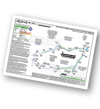
Walk n110 The St Cuthbert's Way and Eccles Cairn from Hethpool

Superb Northumberland Views

Download GPS Waypoint Data for walk n110
Download GPX Waypoint Data for walk n110
Download Map and Route Details for walk n110

Vital Statistics:

Length:7.25 miles (11.5 km)
Ascent:1,165ft (355m)
Time:3.75hrs
Grade:Grade 4 Walking Moderate
Walk 19 Walking Bootprint Icon

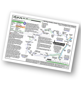
Walk n196 Ring Chesters, Eccles Cairn and Trowupburn from Hethpool

Superb Northumberland views and ancient forts

Download GPS Waypoint Data for walk n196
Download GPX Waypoint Data for walk n196
Download Map and Route Details for walk n196

Vital Statistics:

Length:8.25 miles (13 km)
Ascent:1,483ft (452m)
Time:4½ hrs
Grade:Grade 5 Walking Moderate
Walk 20 Walking Bootprint Icon

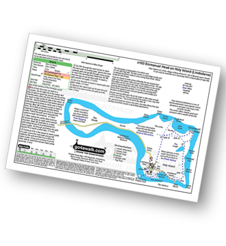
Walk n103 Emmanuel Head on Holy Island (Lindisfarne)

One of the centres of the ancient Christian world

Download GPS Waypoint Data for walk n103
Download GPX Waypoint Data for walk n103
Download Map and Route Details for walk n103

Vital Statistics:

Length:5 miles (8 km)
Ascent:180ft (55m)
Time:2 hrs
Grade:Grade 1 Walking Easy
Walk 21 Walking Bootprint Icon

Walk sl118 Culter Fell, Gathersnow Hill and Hillshaw Head from Culter Allers Farm

Good views from lonely paths

Download GPS Waypoint Data for walk sl118
Download GPX Waypoint Data for walk sl118
Download Map and Route Details for walk sl118

Vital Statistics:

Length:12.25 miles (19.5 km)
Ascent:3,305ft (1,007m)
Time:7.75hrs
Grade:Grade 7 Walking Hard
Walk 22 Walking Bootprint Icon

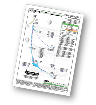
Walk sl106 Culter Fell from Culter Allers Farm

Good views from quiet paths

Download GPS Waypoint Data for walk sl106
Download GPX Waypoint Data for walk sl106
Download Map and Route Details for walk sl106

Vital Statistics:

Length:7.5 miles (12 km)
Ascent:1,699ft (518m)
Time:4½ hrs
Grade:Grade 5 Walking Moderate
Walk 23 Walking Bootprint Icon

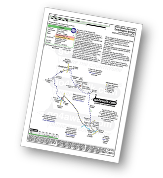
Walk n181 Dod Law from Doddington Bridge

Fine views of The Cheviot Hills

Download GPS Waypoint Data for walk n181
Download GPX Waypoint Data for walk n181
Download Map and Route Details for walk n181

Vital Statistics:

Length:5.5 miles (8.5 km)
Ascent:620ft (189m)
Time:2.75hrs
Grade:Grade 3 Walking Easy
Walk 24 Walking Bootprint Icon

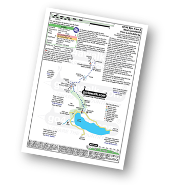
Walk st146 Ben A'an and Meall Gainheich from Loch Achray

Steep walk & heather bash to two magnificent views!

Download GPS Waypoint Data for walk st146
Download GPX Waypoint Data for walk st146
Download Map and Route Details for walk st146

Vital Statistics:

Length:5.25 miles (8.5 km)
Ascent:2,117ft (645m)
Time:4 hrs
Grade:Grade 5 Walking Moderate
Walk 25 Walking Bootprint Icon

Walk st131 Ben A'an from Loch Achray

Short but steep walk to magnificent views!

Download GPS Waypoint Data for walk st131
Download GPX Waypoint Data for walk st131
Download Map and Route Details for walk st131

Vital Statistics:

Length:2.5 miles (4 km)
Ascent:1,329ft (405m)
Time:2½ hrs
Grade:Grade 3 Walking Easy
Walk 26 Walking Bootprint Icon

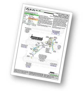
Walk n164 St Cuthbert's Way, Wooler Common and Woodland Park from Wooler

Easy walk to a delightful pool

Download GPS Waypoint Data for walk n164
Download GPX Waypoint Data for walk n164
Download Map and Route Details for walk n164

Vital Statistics:

Length:3.25 miles (5 km)
Ascent:525ft (160m)
Time:1.75hrs
Grade:Grade 2 Walking Easy
Walk 27 Walking Bootprint Icon

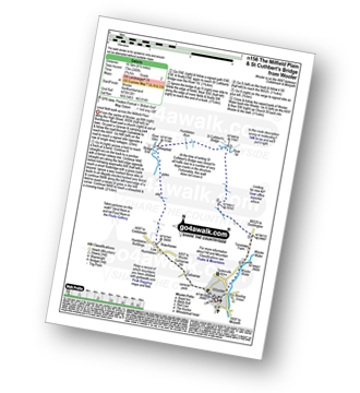
Walk n156 The Milfield Plain and St Cuthbert's Bridge from Wooler

Level field walk across the Milfield Plain

Download GPS Waypoint Data for walk n156
Download GPX Waypoint Data for walk n156
Download Map and Route Details for walk n156

Vital Statistics:

Length:6.5 miles (10.5 km)
Ascent:240ft (73m)
Time:2.75hrs
Grade:Grade 2 Walking Easy
Walk 28 Walking Bootprint Icon

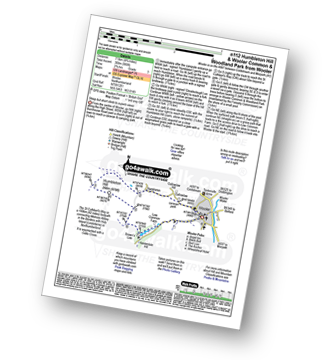
Walk n112 Humbleton Hill and Wooler Common and Woodland Park from Wooler

Steep but short climb to superb views

Download GPS Waypoint Data for walk n112
Download GPX Waypoint Data for walk n112
Download Map and Route Details for walk n112

Vital Statistics:

Length:4.75 miles (7.5 km)
Ascent:985ft (300m)
Time:2.75hrs
Grade:Grade 3 Walking Easy
Walk 29 Walking Bootprint Icon

Walk n135 Weetwood Moor, Dod Law and Doddington from Wooler

Fine views of The Cheviot Hills

Download GPS Waypoint Data for walk n135
Download GPX Waypoint Data for walk n135
Download Map and Route Details for walk n135

Vital Statistics:

Length:8.5 miles (13.5 km)
Ascent:1,093ft (333m)
Time:4.25hrs
Grade:Grade 4 Walking Moderate
Walk 30 Walking Bootprint Icon

Walk n107 Wooler Common and Happy Valley (High Level Route) from Wooler

Fine views down into Happy Valley

Download GPS Waypoint Data for walk n107
Download GPX Waypoint Data for walk n107
Download Map and Route Details for walk n107

Vital Statistics:

Length:7.5 miles (12 km)
Ascent:1,257ft (383m)
Time:4½ hrs
Grade:Grade 5 Walking Moderate


Follow go4awalk.com on Twitter Follow go4awalk.com on Facebook


Do not miss our pick of the Best Walks in the UK