Fifteen easy to follow walks from The Quiet Side Campsite, Watermillock, The Lake District, Cumbria, England
To reach The Quiet Side Campsite, Watermillock, in-car SatNav users should select the Latitude/Longitude (Lat Lon) screen and enter:
Lat = N54.60448 and Lon = W2.88273 or postcode: CA11 0LS
Not familiar with this campsite?
Fifteen easy to follow walks from The Quiet Side Campsite, Watermillock, The Lake District, Cumbria, England
Scroll down the list of walks below & click on each walk title (in blue) to locate it on the map above.

   |
Vital Statistics:
| Length: | 1.5 miles (2.5 km) |
| Ascent: | 351ft (107m) |
| Time: | 1 hrs |
| Grade: |  |
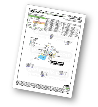
Route Summary:
Pooley Bridge - Dunmallet Woods - Dunmallard Hill (Dunmallet) - River Eamont - Pooley Bridge


|
Vital Statistics:
| Length: | 1.5 miles (2.5 km) |
| Ascent: | 705ft (215m) |
| Time: | 1½ hrs |
| Grade: |  |
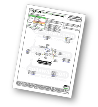
Route Summary:
Cove Park Campsite - Watermillock - Mellfell House - Little Mell Fell - The Hause - Cove Campsite - Watermillock.

|
Vital Statistics:
| Length: | 7 miles (11 km) |
| Ascent: | 1,299ft (396m) |
| Time: | 3.75hrs |
| Grade: |  |
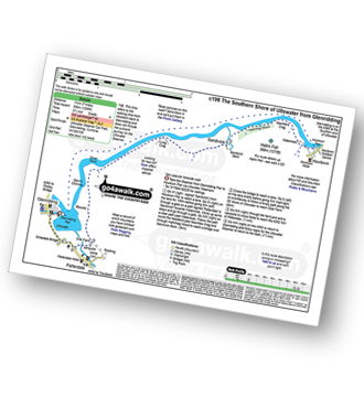
Route Summary:
Glenridding - Glenridding Pier - Ullswater Steamer - Howtown Pier - Geordie's Crag - Halinhag Wood - Sandwick - Long Crag (Ullswater) - Silver Point - Ullswater - Blowick - Rooking - Side Farm - Patterdale

|
Vital Statistics:
| Length: | 6 miles (9.5 km) |
| Ascent: | 1,814ft (553m) |
| Time: | 4 hrs |
| Grade: |  |

Route Summary:
Glenridding - Glenridding Dodd - Sheffield Pike - Nick Head - Lucy's Tongue - Glenridding Beck - Glenridding

|
Vital Statistics:
| Length: | 7.25 miles (11.5 km) |
| Ascent: | 1,752ft (534m) |
| Time: | 4½ hrs |
| Grade: | |

Route Summary:
Aira Force National Trust Car Park (nr Glenridding) - Aira Force - Riddings Beck - Waterfalls - High Force - Dockray - Aira Beck - Matterdale Common - Dowthwaitehead - Brown Hills - Swineside Knott - Glencoyne Park - Aira Force Car Park.

|
Vital Statistics:
| Length: | 8.75 miles (14 km) |
| Ascent: | 2,129ft (649m) |
| Time: | 5½ hrs |
| Grade: |  |

Route Summary:
Red Moss Nr Dockray - Matterdale Common - Wolf Crags - Bruts Moss - Randerside - Great Dodd - Watson's Dodd - Stybarrow Dodd - Green Side (White Stones) - Hart Side - Dowthwaitehead - Red Moss.

|
Vital Statistics:
| Length: | 8.25 miles (13 km) |
| Ascent: | 2,011ft (613m) |
| Time: | 5 hrs |
| Grade: | |

Route Summary:
Red Moss Nr Dockray - Barbary Rigg - Matterdale Common - Mariel Bridge - White Pike (Clough Head) - Clough Head - Calfhow Pike - Little Dodd (St John's Common) - Great Dodd - Randerside - Bruts Moss - Wolf Crags - Red Moss.

|
Vital Statistics:
| Length: | 8.5 miles (13.5 km) |
| Ascent: | 3,278ft (999m) |
| Time: | 6½ hrs |
| Grade: |  |

Route Summary:
Glenridding - Birkhouse Moor - Hole-in-the-Wall - Red Tarn (Helvellyn) - Bleaberry Crag - Low Spying How - High Spying How - Striding Edge (High Spying How) - Helvellyn - Swirral Edge - Catstye Cam - Hole-in-the-Wall - Brownend Plantation - Grisedale Beck - Lanty's Tarn - Keldas - Glenridding

|
Vital Statistics:
| Length: | 10 miles (16 km) |
| Ascent: | 3,382ft (1,031m) |
| Time: | 7 hrs |
| Grade: | |

Route Summary:
Glenridding - Birkhouse Moor - Hole-in-the-Wall - Red Tarn (Helvellyn) - Bleaberry Crag - Low Spying How - High Spying How - Striding Edge (High Spying How) - Helvellyn - Nethermost Pike - High Crag (Helvellyn) - Dollywaggon Pike - Grisdale Tarn - Ruthwaite Lodge - Grisedale Beck - Brownend Plantation - Lanty's Tarn - Keldas - Glenridding

|
Vital Statistics:
| Length: | 10.75 miles (17 km) |
| Ascent: | 3,449ft (1,051m) |
| Time: | 7.25hrs |
| Grade: | |

Route Summary:
Glenridding - Birkhouse Moor - Hole-in-the-Wall - Red Tarn (Helvellyn) - Catstye Cam - Swirral Edge - Helvellyn - Lower Man (Helvellyn) - White Side - Raise (Helvellyn) - Sticks Pass - Lucy's Tongue - Glenridding Beck - Glenridding

|
Vital Statistics:
| Length: | 11.25 miles (18 km) |
| Ascent: | 2,680ft (817m) |
| Time: | 6.75hrs |
| Grade: | |

Route Summary:
Red Moss Nr Dockray - Barbary Rigg - Matterdale Common - Mariel Bridge - White Pike (Clough Head) - Clough Head - Calfhow Pike - Little Dodd (St John's Common) - Great Dodd - Watson's Dodd - Stybarrow Dodd - Green Side (White Stones) - Hart Side - Dowthwaitehead - Red Moss.

|
Vital Statistics:
| Length: | 12.25 miles (19.5 km) |
| Ascent: | 3,254ft (992m) |
| Time: | 7½ hrs |
| Grade: | |

Route Summary:
Brownrigg Farm - Great Mell Fell - Greenrow Great Barn - Lowthwaite - Little Mell Fell - The Hause - Underwood - Cove Park Campsite - Watermillock - Priest's Crag - Great Meldrum - Gowbarrow Fell (Airy Crag) - Norman Crag - Ulcat Row - Matterdale End - Brownrigg Farm

|
Vital Statistics:
| Length: | 13 miles (21 km) |
| Ascent: | 4,359ft (1,329m) |
| Time: | 9.25hrs |
| Grade: |  |

Route Summary:
Glenridding - Glenridding Dodd - Sheffield Pike - Green Side - Stybarrow Dodd - Sticks Pass - Raise (Helvellyn) - White Side - Lower Man (Helvellyn) - Helvellyn - Nethermost Pike - High Crag (Helvellyn) - Dollywaggon Pike - Grisdale Tarn - Grisedale Beck - Brownend Plantation - Lanty's Tarn - Keldas - Glenridding

|
Vital Statistics:
| Length: | 11.5 miles (18.5 km) |
| Ascent: | 4,418ft (1,346m) |
| Time: | 8½ hrs |
| Grade: | |

Route Summary:
Glenridding - Glenridding Dodd - Sheffield Pike - Nick Head - Glencoyne Head - Hart Side - Green Side (White Stones) - Stybarrow Dodd - Sticks Pass - Raise (Helvellyn) - White Side - Lower Man (Helvellyn) - Helvellyn - Swirral Edge - Catstye Cam - Red Tarn Beck - Glenridding Beck - Glenridding Youth Hostel - Glenridding

|
Vital Statistics:
| Length: | 10 miles (16 km) |
| Ascent: | 4,020ft (1,225m) |
| Time: | 8 hrs |
| Grade: | |

Route Summary:
Glenridding - Glenridding Dodd - Sheffield Pike - Nick Head - Sticks Pass - Raise (Helvellyn) - White Side - Lower Man (Helvellyn) - Helvellyn - Swirral Edge - Catstye Cam - Glenridding Beck - Glenridding Youth Hostel - Glenridding