![]()
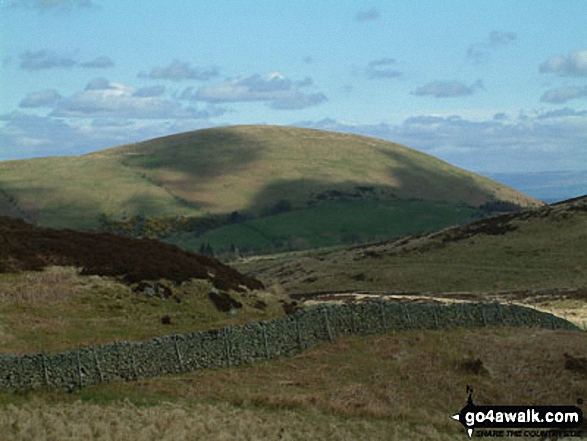
Little Mell Fell
505m (1657ft)
The Eastern Fells, The Lake District, Cumbria, England
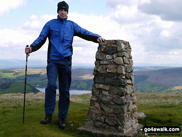
The summit of Little Mell Fell is marked by an Ordnance Survey Trig Point.
Not familiar with this top?
   |
|---|
Vital Statistics:
| Length: | 1.5ml (2.5km) |
|---|---|
| Ascent: | 705ft (215m) |
| Time: | 1½ hrs |
| Grade: |  (Easy) (Easy) |
Route Summary:
Cove Park Campsite - Watermillock - Mellfell House - Little Mell Fell - The Hause - Cove Campsite - Watermillock.
|
|---|
Vital Statistics:
| Length: | 12.25ml (19.5km) |
|---|---|
| Ascent: | 3,254ft (992m) |
| Time: | 7½ hrs |
| Grade: |  (Hard) (Hard) |

Route Summary:
Brownrigg Farm - Great Mell Fell - Greenrow Great Barn - Lowthwaite - Little Mell Fell - The Hause - Underwood - Cove Park Campsite - Watermillock - Priest's Crag - Great Meldrum - Gowbarrow Fell (Airy Crag) - Norman Crag - Ulcat Row - Matterdale End - Brownrigg Farm
See Little Mell Fell and the surrounding tops on our free-to-access 'Google Style' Peak Bagging Maps:
The Eastern Fells of The Lake District National Park
Less data - quicker to download
The Whole of The Lake District National Park
More data - might take a little longer to download
See Little Mell Fell and the surrounding tops on our downloadable Peak Bagging Maps in PDF format:

NB: Whether you print off a copy or download it to your phone, these PDF Peak Baggers' Maps might prove incredibly useful when your are up there on the tops and you cannot get a phone signal.
*This version is marked with the walk routes you need to follow to Walk all 214 Wainwrights in just 59 walks.
You can find Little Mell Fell & all the walks that climb it on these unique free-to-access Interactive Walk Planning Maps:
1:25,000 scale OS Explorer Map (orange/yellow covers):
1:50,000 scale OS Landranger Map (pink/magenta covers):
 Fellow go4awalkers who have already walked, climbed, summited & bagged Little Mell Fell
Neil Walker walked up Little Mell Fell on August 14th, 2025 [from/via/route] The quiet Pace, Watermillock [with] Emma [weather] Sunny/overcast
Geoff Hand climbed it on February 28th, 2025 [from/via/route] Parking close to Brownrigg Farm we first headed to up to Great Mell fell. A steep decent & a pleasent walk aroun the foot of the hill then passed Brownriig farm to Greenrow farm & upto Littel Mell Fell. Then a Southern decent & then headed West & back towards Brownrigg Farm. [with] With Claire my daughter [weather] Beautiful sunshine all day. - amazing views of Helvelyn massive, Coledale, Blencathra with Skiddaw in the background not to mention all the fells to the East of Ullswater. Cracking day!
Andrew Gayne bagged it on September 5th, 2024 [from/via/route] From Cove campsite [with] Becky [weather] Cloudy & windy at the top - Aborted Hartsop circular walk after one fell because of the weather & went up Little Mell. Still cloudy on top, cloud hanging at around 500m, weather OK below
Simon Myerscough hiked Little Mell Fell on July 29th, 2024 [from/via/route] From Aira Force, self-designed route [with] Joanne [weather] warm & occasionally sunny, great views - Cow fields & over-grown in places
James Hughes summited on February 11th, 2024 [from/via/route] From Royal Hotel in Dockray... Out over Gawbarrow [with] Will [weather] Fairly dry winter day. Not too cold once walking although was cold coming down north side - Soup & roll at top.
To add (or remove) your name and experiences on this page - Log On and edit your Personal Mountain Bagging Record
. . . [see more walk reports]
More Photographs & Pictures of views from, on or of Little Mell Fell


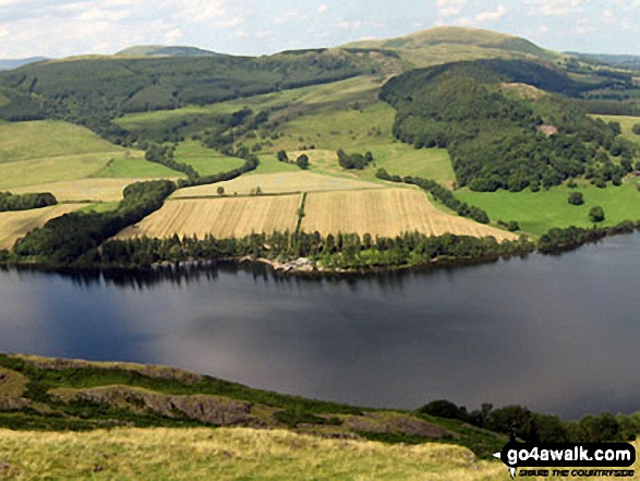
Ullswater featuring Patterdale & Glenridding (left), Gowbarrow Fell (Airy Crag) (centre left), Great Mell Fell (centre), Little Mell Fell (centre right) and Pooley Bridge (right) from Hallin Fell summit
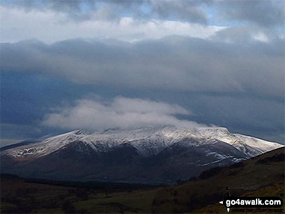

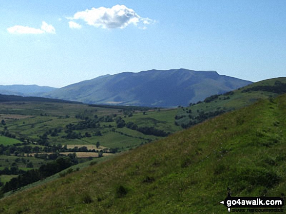
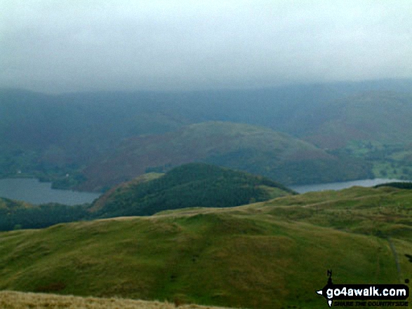
Blencathra or Saddleback (Hallsfell Top) and Sharp Edge from Little Mell Fell


. . . see all 11 walk photographs & pictures of views from, on or of Little Mell Fell
Send us your photographs and pictures on, of, or from Little Mell Fell
If you would like to add your walk photographs and pictures to this page, please send them as email attachments (configured for any computer) along with your name to:
and we shall do our best to publish them.
(Guide Resolution = 300dpi. At least = 660pixels (wide) x 440 pixels (high).)

You can also submit photos via our Facebook Page.
NB. Please indicate where each photo was taken and whether you wish us to credit your photos with a Username or your First Name/Last Name.