Eighteen easy to follow walks from Hollows Farm Campsite, Grange (Borrowdale), The Lake District, Cumbria, England
To reach Hollows Farm Campsite, Grange (Borrowdale), in-car SatNav users should select the Latitude/Longitude (Lat Lon) screen and enter:
Lat = N54.54736 and Lon = W3.1585 or postcode: CA12 5UQ
Not familiar with this campsite?
Eighteen easy to follow walks from Hollows Farm Campsite, Grange (Borrowdale), The Lake District, Cumbria, England
Scroll down the list of walks below & click on each walk title (in blue) to locate it on the map above.

   |
Vital Statistics:
| Length: | 9 miles (14 km) |
| Ascent: | 131ft (40m) |
| Time: | 3.25hrs |
| Grade: |  |
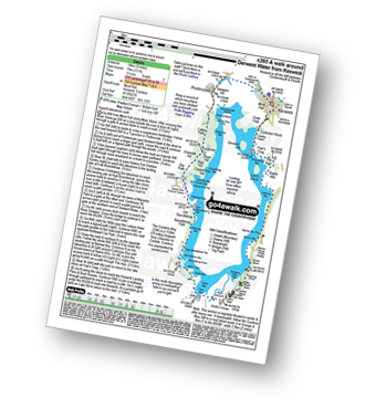
Route Summary:
Keswick - The Cumbria Way - The Allerdale Ramble - Portinscale - Nichol End - Derwent Water - Hawes End - Brandlehow Point - Park Neb - Strutta Wood - Calfclose Bay - Stable Hills - Friar's Crag - Keswick


|
Vital Statistics:
| Length: | 5 miles (8 km) |
| Ascent: | 649ft (198m) |
| Time: | 2.75hrs |
| Grade: |  |

Route Summary:
Hawes End - Gutherscale - Derwent Water - Skelgill Farm - Yewthwaite Gill - Little Town - Parrocks Gill - Goldscope Lead Mine - Newlands Beck - Low Snab Farm - Newlands Church - Newlands Valley - Rigg Beck - Rowling End Farm - Newlands Beck - Ghyll Bank - Skelgill Farm - Gutherscale - Hawes End

|
Vital Statistics:
| Length: | 3.5 miles (5.5 km) |
| Ascent: | 906ft (276m) |
| Time: | 2½ hrs |
| Grade: | |
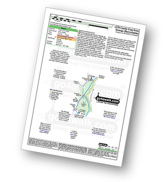
Route Summary:
Grange (Borrowdale) - Borrowdale - The Cumbria Way - Holmcrag Wood - River Derwent - The Allerdale Ramble - Castle Crag - River Derwent - Grange (Borrowdale)

|
Vital Statistics:
| Length: | 8.25 miles (13 km) |
| Ascent: | 1,031ft (314m) |
| Time: | 4 hrs |
| Grade: |  |
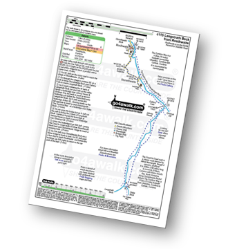
Route Summary:
Rosthwaite - Wainwright's Coast to Coast Walk - Stonethwaite - Stonethwaite Beck - Galleny Force - Langstrath Beck - The Cumbria Way - Greenup Gill - Stonethwaite - Rosthwaite

|
Vital Statistics:
| Length: | 5.5 miles (9 km) |
| Ascent: | 1,384ft (422m) |
| Time: | 3½ hrs |
| Grade: | |
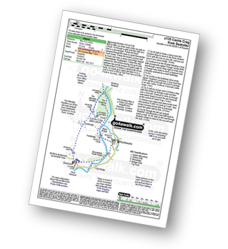
Route Summary:
Seatoller - The Allerdale Ramble - Longthwaite - Rosthwaite - New Bridge - The River Derwent - The Cumbria Way - Castle Crag - Seatoller

|
Vital Statistics:
| Length: | 9.75 miles (15.5 km) |
| Ascent: | 886ft (270m) |
| Time: | 4.25hrs |
| Grade: | |
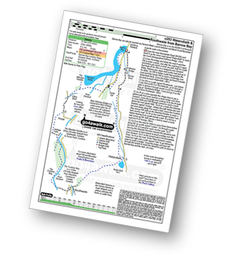
Route Summary:
Barrow Bay - Derwent Water - Ashness Bridge - Surprise View - Watendlath - Bracken Platt - Puddingstone Bank - The Cumbria Way - Rosthwaite - River Derwent - High Hows Wood - Low Hows Wood - Broadslack Gill - Hollows Farm - Borrowdale Gates - Ellers Beck Lodore Falls - Barrow Bay - Derwent Water

|
Vital Statistics:
| Length: | 6 miles (9.5 km) |
| Ascent: | 1,861ft (567m) |
| Time: | 4½ hrs |
| Grade: |  |

Route Summary:
Rosthwaite - The Cumbria Way - Lingy End - Willygrass Gill - Dock Tarn - Great Crag - Puddingstone Bank - Jopplety How - Joppletyhow Moss - Grange Fell (Brund Fell) - King's How - Rosthwaite

|
Vital Statistics:
| Length: | 9 miles (14.5 km) |
| Ascent: | 2,780ft (847m) |
| Time: | 6 hrs |
| Grade: |  |
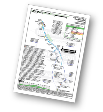
Route Summary:
Rosthwaite - Stonethwaite - Wainwright's Coast to Coast Walk - Stonethwaite Beck - Galleny Force - The Cumbria Way - Langstrath Beck - Eagle Crag - Sergeant's Crag - High Raise (Langdale) - Low White Stones - Greenup Edge - Lining Crag - Greenup Gill - Stonethwaite Beck - Stonethwaite - Rosthwaite

|
Vital Statistics:
| Length: | 7.75 miles (12.5 km) |
| Ascent: | 2,419ft (737m) |
| Time: | 5.25hrs |
| Grade: | |

Route Summary:
Stonethwaite - Stonethwaite Bridge - Stonethwaite Beck - The Cumbria Way - Wainwright's Coast to Coast Walk - Galleny Force - Greenup Gill - Lining Crag - Greenup Edge - Ullscarf - High Saddle (Coldbarrow Fell) - Low Saddle (Coldbarrow Fell) - Lord's How - Green Combe - Dock Tarn - Great Crag - Willygrass Gill - Stonethwaite

|
Vital Statistics:
| Length: | 8.25 miles (13 km) |
| Ascent: | 2,512ft (766m) |
| Time: | 5½ hrs |
| Grade: | |

Route Summary:
Hawes End - Derwent Water - Newlands Valley - Skelgill Bank - Woodford's Path - Cat Bells (Catbells) - Maiden Moor - High Spy (North Top) - High Spy - Dalehead Tarn - Newlands Valley - Newlands Church - Little Town - Hawes End

|
Vital Statistics:
| Length: | 10.25 miles (16.5 km) |
| Ascent: | 3,585ft (1,093m) |
| Time: | 7½ hrs |
| Grade: |  |

Route Summary:
Hawes End - Derwent Water - Skelgill Bank - Woodford's Path - Cat Bells (Catbells) - Maiden Moor - High Spy (North Top) - High Spy - Dalehead Tarn - Dale Head (Newlands) - Hindscarth - High Crags - Scope End - Low Snab Farm - Newlands Church - Little Town - Newlands Valley - Hawes End - Derwent Water.

|
Vital Statistics:
| Length: | 11.25 miles (18 km) |
| Ascent: | 3,371ft (1,027m) |
| Time: | 7½ hrs |
| Grade: | |

Route Summary:
Rosthwaite - Stonethwaite - Wainwright's Coast to Coast Walk - Stonethwaite Beck - Galleny Force - The Cumbria Way - Langstrath Beck - Eagle Crag - Sergeant's Crag - High Raise (Langdale) - Low White Stones - Greenup Edge - Ullscarf - High Saddle (Coldbarrow Fell) - Low Saddle (Coldbarrow Fell) - Lord's How - Dock Tarn - Willygrass Gill - Great Crag - Rosthwaite

|
Vital Statistics:
| Length: | 10.5 miles (17 km) |
| Ascent: | 3,384ft (1,031m) |
| Time: | 7.25hrs |
| Grade: | |

Route Summary:
Stonethwaite - Big Stanger Gill - Hanging Haystack Crag - Alisongrass Crag - Rosthwaite Fell (Bessyboot) - Tarn At Leaves - Rosthwaite Cam (Rosthwaite Fell) - Dovenest Top - Combe Door Top - Combe Head - Glaramara - Looking Steads (Glaramara) - Red Beck Top - High House Tarn Top - Allen Crags - Esk Hause - Allencrags Gill - Langstrath - Stonethwaite

|
Vital Statistics:
| Length: | 10 miles (16 km) |
| Ascent: | 3,349ft (1,082m) |
| Time: | 7.25hrs |
| Grade: | |

Route Summary:
Hawes End - Derwent Water - Skelgill Bank - Woodford's Path - Cat Bells (Catbells) - Maiden Moor - Narrow Moor - High Spy (North Top) - High Spy - Dale Head Tarn - Rigghead Quarries - The Allerdale Ramble - Castle Crag - River Derwent - Yewdale Knott - Manesty - Manesty Band - Hawes End - Derwent Water.

|
Vital Statistics:
| Length: | 12 miles (19 km) |
| Ascent: | 4,152ft (1,266m) |
| Time: | 8½ hrs |
| Grade: |  |

Route Summary:
Hawes End - Derwent Water - Skelgill Bank - Woodford's Path - Cat Bells (Catbells) - Maiden Moor - High Spy (North Top) - High Spy - Dale Head Tarn - Dale Head (Newlands) - Hindscarth Edge - Hindscarth - Littledale Edge - Robinson - High Snab Bank - Newlands Church - Little Town - Hawes End - Derwent Water.

|
Vital Statistics:
| Length: | 12 miles (19 km) |
| Ascent: | 3,502ft (1,067m) |
| Time: | 7.75hrs |
| Grade: | |

Route Summary:
Stonethwaite - Wainwright's Coast to Coast Walk - Stonethwaite Beck - Galleny Force - The Cumbria Way - Langstrath Beck - Stake Pass - Pike of Stickle (Pike O' Stickle) - Harrison Stickle - Thunacar Knott - High Raise (Langdale) - Low White Stones - Greenup Edge - Ullscarf - Low Saddle (Coldbarrow Fell) - Willygrass Gill - Dock Tarn.

|
Vital Statistics:
| Length: | 12.25 miles (19.5 km) |
| Ascent: | 3,781ft (1,152m) |
| Time: | 8½ hrs |
| Grade: | |
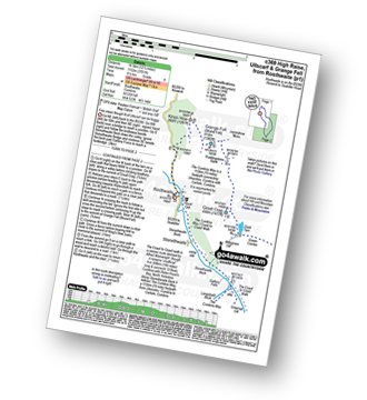
Route Summary:
Rosthwaite - The Cumbria Way - Stonethwaite - Wainwright's Coast to Coast Walk - Stonethwaite Beck - Galleny Force - The Cumbria Way - Langstrath Beck - Eagle Crag - Sergeant's Crag - High Raise (Langdale) - Low White Stones - Greenup Edge - Ullscarf - Low Saddle (Coldbarrow Fell) - Lord's How - Dock Tarn - Great Crag - Puddingstone Bank - Jopplety How - Joppletyhow Moss - Grange Fell (Brund Fell) - King's How - Rosthwaite

|
Vital Statistics:
| Length: | 14.5 miles (23 km) |
| Ascent: | 5,409ft (1,648m) |
| Time: | 11 hrs |
| Grade: |  |

Route Summary:
Hawes End - Derwent Water - Skelgill Bank - Woodford's Path - Cat Bells (Catbells) - Maiden Moor - High Spy (North Top) - High Spy - Dalehead Tarn - Dale Head (Newlands) - Hindscarth - Littledale Edge - Robinson - High Snockrigg - Moss Force - Newlands Hause - Knott Rigg - Ard Crags - Birkrigg - Keskerdale Beck - Newlands Church - Newlands Beck - Little Town - Skelgill Farm - Hawes End Derwent Water.