   |
Vital Statistics:
| Length: | 5mls (8km) |
| Ascent: | 649ft (198m) |
| Time: | 2¾hrs |
| Grade: |  |

Route outline for walk c253:
Hawes End - Gutherscale - Derwent Water - Skelgill Farm - Yewthwaite Gill - Little Town - Parrocks Gill - Goldscope Lead Mine - Newlands Beck - Low Snab Farm - Newlands Church - Newlands Valley - Rigg Beck - Rowling End Farm - Newlands Beck - Ghyll Bank - Skelgill Farm - Gutherscale - Hawes End
You can find this walk and other nearby walks on these unique free-to-access Interactive Walk Planning Maps:
1:25,000 scale OS Explorer Map (orange/yellow covers):
1:50,000 scale OS Landranger Maps (pink/magenta covers):
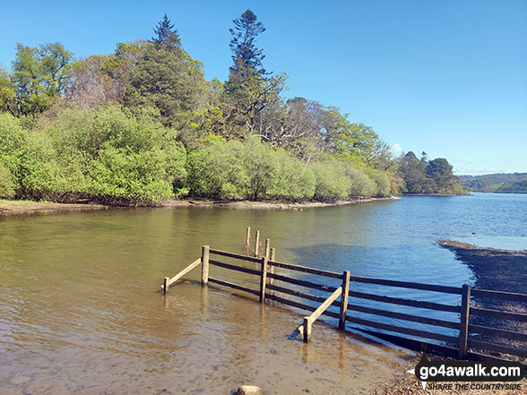
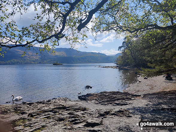
Some Photos and Pictures from Walk c253 The Newlands Valley from Hawes End
In no particular order . . .

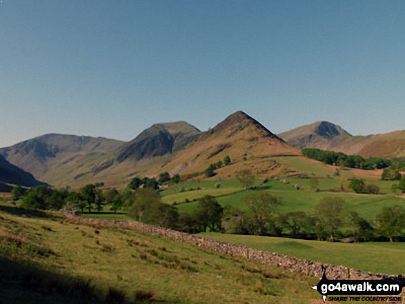
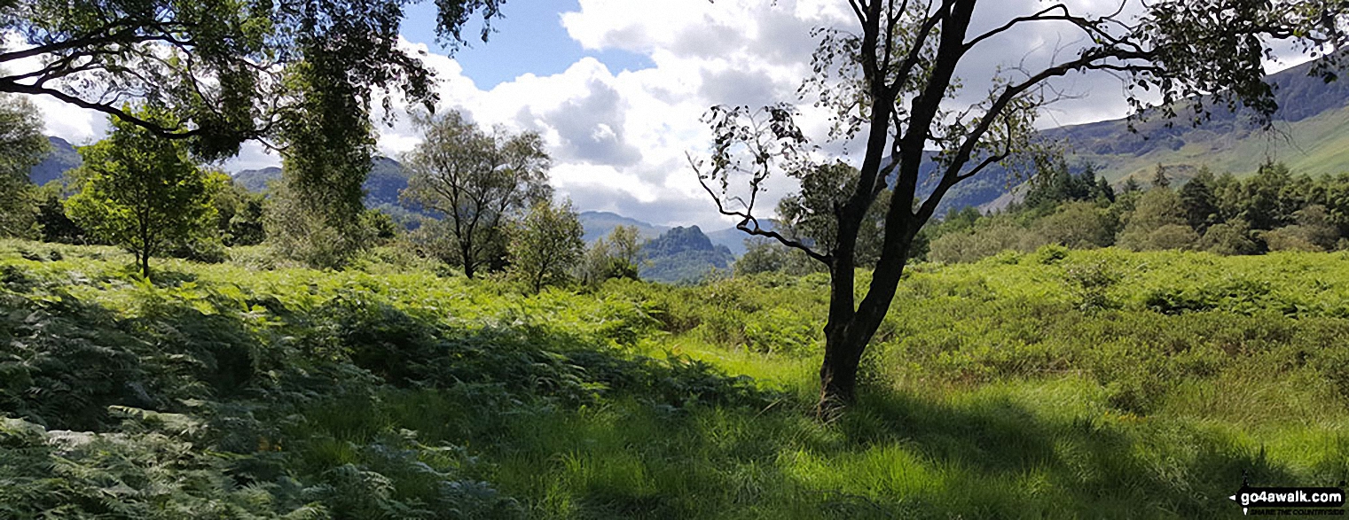
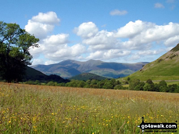
From left to right: Dale Head (Newlands), Hindscarth, High Crags and Robinson from just beyond Little Town
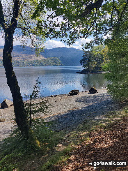
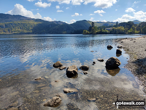
Castle Crag in the 'Jaws' of Borrowdale taken from the north end of Derwent Water
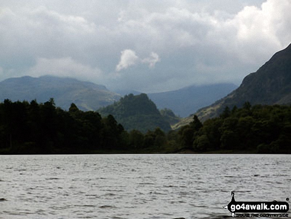


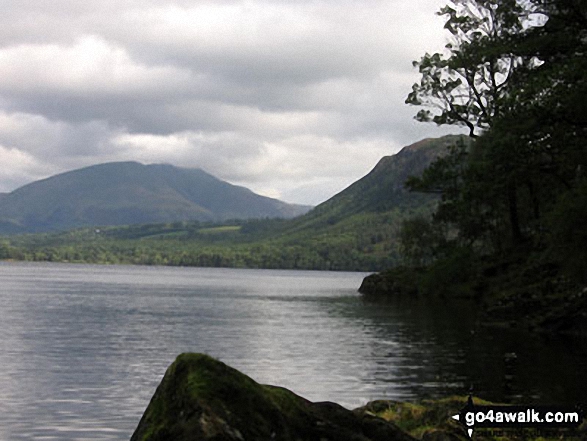
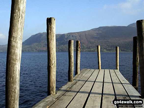
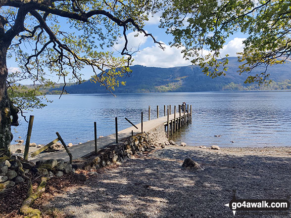
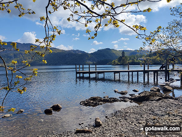
Derwent Water and Borrowdale with Cat Bells, Maiden Moor and Castle Crag on the right from the northern end of the lake

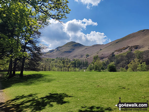
Hindscarth (left), Scope End (centre) and Robinson (right) from above Little Town

. . . load all 42 walk photos from Walk c253 The Newlands Valley from Hawes End
Send us your photographs and pictures from your walks and hikes
We would love to see your photographs and pictures from walk c253 The Newlands Valley from Hawes End. Send them in to us as email attachments (configured for any computer) along with your name and where the picture was taken to:
and we shall do our best to publish them.
(Guide Resolution = 300dpi. At least = 660 pixels (wide) x 440 pixels (high).)

You can also submit photos from walk c253 The Newlands Valley from Hawes End via our Facebook Page.
NB. Please indicate where each photo was taken.


