22 easy-to-follow walk route maps of all grades in The Scottish Borders region of Scotland

Twenty-two easy-to-follow walk route maps of all grades in The Scottish Borders region of Scotland in Walk Grade Order (9 to 1)

The Scottish Borders is the area enclosed by an imaginary line connecting:


See this list of walks, routes & maps in:

Grade Order | Length Order | Time Order | Walk Number or Start Location Order
NB. To reverse (toggle) this order, click Grade Order again


Walk 1 Walking Bootprint Icon

Walk bo135 Bodesbeck Law, Bell Craig, Andrewhinney Hill and Herman Law from Ettrick Water

Quiet lonely, peaceful hills

Download GPS Waypoint Data for walk bo135
Download GPX Waypoint Data for walk bo135
Download Map and Route Details for walk bo135

Vital Statistics:

Length:13.25 miles (21 km)
Ascent:2,586ft (788m)
Time:7.25hrs
Grade:Grade 7 Walking Hard
Walk 2 Walking Bootprint Icon

Walk bo116 Roan Fell from Newcastleton

Quiet lonely fells

Download GPS Waypoint Data for walk bo116
Download GPX Waypoint Data for walk bo116
Download Map and Route Details for walk bo116

Vital Statistics:

Length:14.5 miles (23 km)
Ascent:2,018ft (615m)
Time:7.25hrs
Grade:Grade 7 Walking Hard
Walk 3 Walking Bootprint Icon

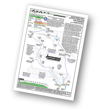
Walk dg143 Saddle Yoke and Hart Fell from Capplegill

Like the Lake District but without the people

Download GPS Waypoint Data for walk dg143
Download GPX Waypoint Data for walk dg143
Download Map and Route Details for walk dg143

Vital Statistics:

Length:8.75 miles (14 km)
Ascent:3,236ft (986m)
Time:6½ hrs
Grade:Grade 7 Walking Hard
Walk 4 Walking Bootprint Icon

Walk sl118 Culter Fell, Gathersnow Hill and Hillshaw Head from Culter Allers Farm

Good views from lonely paths

Download GPS Waypoint Data for walk sl118
Download GPX Waypoint Data for walk sl118
Download Map and Route Details for walk sl118

Vital Statistics:

Length:12.25 miles (19.5 km)
Ascent:3,305ft (1,007m)
Time:7.75hrs
Grade:Grade 7 Walking Hard
Walk 5 Walking Bootprint Icon

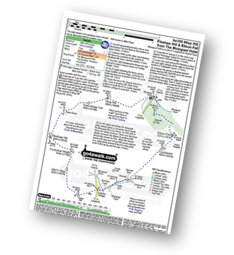
Walk bo109 Wisp Hill (Teviothead), Pikehaw Hill and Ellson Fell from the Mosspaul Hotel

Quiet summits with fine views

Download GPS Waypoint Data for walk bo109
Download GPX Waypoint Data for walk bo109
Download Map and Route Details for walk bo109

Vital Statistics:

Length:8.75 miles (14 km)
Ascent:3,482ft (1,061m)
Time:7 hrs
Grade:Grade 7 Walking Hard
Walk 6 Walking Bootprint Icon

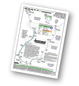
Walk dg136 Arkleton Hill, Pike Fell and Roan Fell from Tarras Lodge

Quiet peaceful fells with fine views

Download GPS Waypoint Data for walk dg136
Download GPX Waypoint Data for walk dg136
Download Map and Route Details for walk dg136

Vital Statistics:

Length:14.75 miles (23.5 km)
Ascent:2,609ft (795m)
Time:8 hrs
Grade:Grade 7 Walking Hard
Walk 7 Walking Bootprint Icon

Walk bo119 Woden Law and Humblemoor Hill from Tow Ford

Easy walking on quiet lonely fells

Download GPS Waypoint Data for walk bo119
Download GPX Waypoint Data for walk bo119
Download Map and Route Details for walk bo119

Vital Statistics:

Length:10 miles (16 km)
Ascent:2,238ft (682m)
Time:6 hrs
Grade:Grade 6 Walking Moderate
Walk 8 Walking Bootprint Icon

Walk bo121 Wisp Hill (Teviothead) and Pikehaw Hill from Mosspaul Hotel

Quiet summits with fine views

Download GPS Waypoint Data for walk bo121
Download GPX Waypoint Data for walk bo121
Download Map and Route Details for walk bo121

Vital Statistics:

Length:8.5 miles (13.5 km)
Ascent:2,832ft (863m)
Time:5.75hrs
Grade:Grade 6 Walking Moderate
Walk 9 Walking Bootprint Icon

Walk dg152 Scawd Bank and Roan Fell from Tarras Lodge

Quiet peaceful fells with fine views

Download GPS Waypoint Data for walk dg152
Download GPX Waypoint Data for walk dg152
Download Map and Route Details for walk dg152

Vital Statistics:

Length:13.75 miles (22 km)
Ascent:1,861ft (567m)
Time:6.75hrs
Grade:Grade 6 Walking Moderate
Walk 10 Walking Bootprint Icon

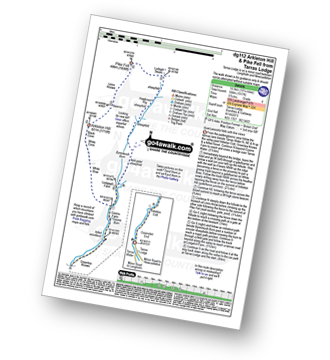
Walk dg112 Arkleton Hill, Pike Fell from Tarras Lodge

Quiet peaceful fells with fine views

Download GPS Waypoint Data for walk dg112
Download GPX Waypoint Data for walk dg112
Download Map and Route Details for walk dg112

Vital Statistics:

Length:10.25 miles (16.5 km)
Ascent:1,917ft (584m)
Time:5.75hrs
Grade:Grade 6 Walking Moderate
Walk 11 Walking Bootprint Icon

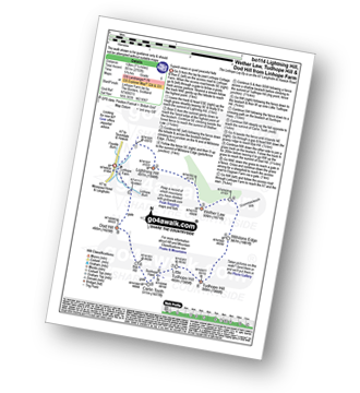
Walk bo114 Lightning Hill, Wether Law (Teviothead), Tudhope Hill and Dod Hill from Linhope Farm

Superb views on quiet peaceful fells

Download GPS Waypoint Data for walk bo114
Download GPX Waypoint Data for walk bo114
Download Map and Route Details for walk bo114

Vital Statistics:

Length:8.75 miles (14 km)
Ascent:2,793ft (851m)
Time:6 hrs
Grade:Grade 6 Walking Moderate
Walk 12 Walking Bootprint Icon

Walk bo124 Hownam Law from Morebattle

Superb, extensive views over the Merse of Scotland and the Border hills

Download GPS Waypoint Data for walk bo124
Download GPX Waypoint Data for walk bo124
Download Map and Route Details for walk bo124

Vital Statistics:

Length:8.75 miles (14 km)
Ascent:1,260ft (384m)
Time:4½ hrs
Grade:Grade 5 Walking Moderate
Walk 13 Walking Bootprint Icon

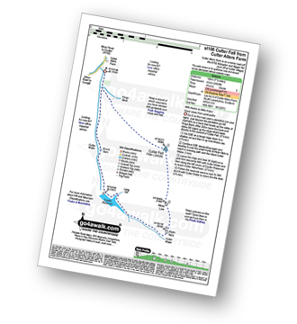
Walk sl106 Culter Fell from Culter Allers Farm

Good views from quiet paths

Download GPS Waypoint Data for walk sl106
Download GPX Waypoint Data for walk sl106
Download Map and Route Details for walk sl106

Vital Statistics:

Length:7.5 miles (12 km)
Ascent:1,699ft (518m)
Time:4½ hrs
Grade:Grade 5 Walking Moderate
Walk 14 Walking Bootprint Icon

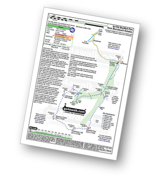
Walk bo104 Skelfhill Pen from Buccleuch Estates (Teviothead)

Quiet lonely fells

Download GPS Waypoint Data for walk bo104
Download GPX Waypoint Data for walk bo104
Download Map and Route Details for walk bo104

Vital Statistics:

Length:8.25 miles (13 km)
Ascent:1,520ft (463m)
Time:4½ hrs
Grade:Grade 5 Walking Moderate
Walk 15 Walking Bootprint Icon

Walk bo143 Humblemoor Hill from Tow Ford

Easy walking in wild country

Download GPS Waypoint Data for walk bo143
Download GPX Waypoint Data for walk bo143
Download Map and Route Details for walk bo143

Vital Statistics:

Length:7 miles (11 km)
Ascent:1,408ft (429m)
Time:4 hrs
Grade:Grade 5 Walking Moderate
Walk 16 Walking Bootprint Icon

Walk bo144 Wisp Hill (Teviothead) and Glenrief Rig from Mosspaul Hotel

Quiet summits with fine views

Download GPS Waypoint Data for walk bo144
Download GPX Waypoint Data for walk bo144
Download Map and Route Details for walk bo144

Vital Statistics:

Length:7.5 miles (12 km)
Ascent:2,018ft (615m)
Time:4.75hrs
Grade:Grade 5 Walking Moderate
Walk 17 Walking Bootprint Icon

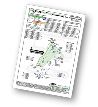
Walk bo133 Glenrief Rigg and Ellson Fell from Mosspaul Hotel

Quiet summits with fine views

Download GPS Waypoint Data for walk bo133
Download GPX Waypoint Data for walk bo133
Download Map and Route Details for walk bo133

Vital Statistics:

Length:5.75 miles (9 km)
Ascent:1,877ft (572m)
Time:4 hrs
Grade:Grade 5 Walking Moderate
Walk 18 Walking Bootprint Icon

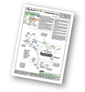
Walk bo107 Lightning Hill, Wether Law (Teviothead) and Tudhope Hill from Linhope Farm

Superb views on quiet peaceful fells

Download GPS Waypoint Data for walk bo107
Download GPX Waypoint Data for walk bo107
Download Map and Route Details for walk bo107

Vital Statistics:

Length:7.25 miles (11.5 km)
Ascent:2,009ft (612m)
Time:4.75hrs
Grade:Grade 5 Walking Moderate
Walk 19 Walking Bootprint Icon

Walk bo128 Dod Hill (Teviothead) from Linhope Farm

Superb views on quiet peaceful fells

Download GPS Waypoint Data for walk bo128
Download GPX Waypoint Data for walk bo128
Download Map and Route Details for walk bo128

Vital Statistics:

Length:4.5 miles (7 km)
Ascent:1,503ft (458m)
Time:3.25hrs
Grade:Grade 4 Walking Moderate
Walk 20 Walking Bootprint Icon

Walk bo131 Woden Law from Tow Ford

Easy walking on quiet lonely fells

Download GPS Waypoint Data for walk bo131
Download GPX Waypoint Data for walk bo131
Download Map and Route Details for walk bo131

Vital Statistics:

Length:4 miles (6.5 km)
Ascent:1,057ft (322m)
Time:2.75hrs
Grade:Grade 3 Walking Easy
Walk 21 Walking Bootprint Icon

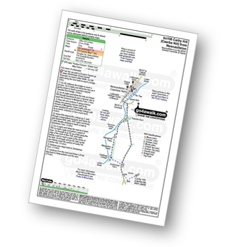
Walk bo106 Carby Hill (Caerba Hill) from Newcastleton

Fine views of Liddesdale

Download GPS Waypoint Data for walk bo106
Download GPX Waypoint Data for walk bo106
Download Map and Route Details for walk bo106

Vital Statistics:

Length:6.25 miles (10 km)
Ascent:758ft (231m)
Time:3 hrs
Grade:Grade 3 Walking Easy
Walk 22 Walking Bootprint Icon

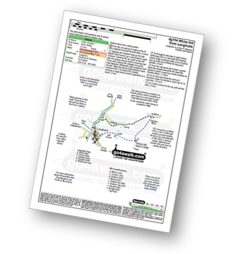
Walk dg104 Whita Hill from Langholm

Superb views from a lofty position

Download GPS Waypoint Data for walk dg104
Download GPX Waypoint Data for walk dg104
Download Map and Route Details for walk dg104

Vital Statistics:

Length:4 miles (6.5 km)
Ascent:958ft (292m)
Time:2½ hrs
Grade:Grade 3 Walking Easy

See this list of walks, routes & maps in:

Grade Order | Length Order | Time Order | Walk Number or Start Location Order
NB. To reverse (toggle) this order, click Grade Order again


Follow go4awalk.com on Twitter Follow go4awalk.com on Facebook


Home


Find new Friends to go walking with

Walk all 214 Wainwrights in just 59 Walks. Download GPS Waypoints - Great Walks you must not miss!

Walk The Yorkshire Three Peaks Challenge Walk - All the Latest Route Information, GPS Waypoints and Split Times to keep you on Schedule

Walk The British Three Peaks Challenge Walk - All the Latest Route Information and GPS Waypoints

See our pick of The Best Walks in The Lake District - Great Walks you must not miss!

Walk our pick of the Best Lake District Ridge Walks - Great Walks you must not miss!

Walk our pick of the Best Lake District Walks to do in the rain - Great Walks you must not miss!

Walk our pick of The Best Walks in Snowdonia - Great Walks you must not miss!

Walk our pick of The Best Ridge Walks in Wales - Walks you must not miss!

Walk our pick of The Best Walks in The Brecon Beacons - Great Walks you must not miss!

Walk our pick of The Best Walks in The Yorkshire Dales - Walks you must not miss!

Walk our pick of The Best Walks in The Peak District - Walks you must not miss!

Walk our pick of The Best Walks in The Forest of Bowland - Walks you must not miss!

Walk our pick of The Best Walks in Shropshire - Walks you must not miss!

Walk our pick of The Best Walks in Cheshire - Walks you must not miss!

Walk our pick of The Best Walks in Lancashire - Walks you must not miss!

Not sure where to walk next? Try Peak Bagging - Great Walks you must not miss!

Not sure where to walk next? Walk part of a National Trail - Great Walks you must not miss!

Walks with Downloadable and Uploadable GPS Waypoint Data

Walking Kit and Gear Tested by Walkers

Full Site Search