   |
Vital Statistics:
| Length: | 14½mls (23km) |
| Ascent: | 2,018ft (615m) |
| Time: | 7¼hrs |
| Grade: |  |

Route outline for walk bo116:
Newcastleton or Copshaw Holm - Bedda Cleuch - Blackburn Farm - Kiln Knowe - Black Burn - Hog Gill - Rigging Sike - Millstone Edge (Roan Fell) - Roan Fell - Watch Hill - Strait Hill - Cooms Fell - Black Edge - Watch Crags - Loch Knowe - Tinnis Bridge - Hazelyside Hill - Bedda Hill - Newcastleton
Peaks, Summits and Tops reached on this walk:
 0 Munros |
 0 Corbetts |
 0 Grahams |
 0 Murdos |
 0 Donalds |
 1 Scottish Marilyn |
 0 Bridgets |
Peak Bagging Statistics for this walk:
The highest point of this walk is Roan Fell at 568m (1864ft). Roan Fell is classified as a Scottish Marilyn (706th highest in Scotland, 827th highest in the UK).
You can find this walk and other nearby walks on these unique free-to-access Interactive Walk Planning Maps:
1:25,000 scale OS Explorer Map (orange/yellow covers):
1:50,000 scale OS Landranger Map (pink/magenta covers):
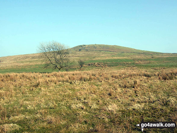
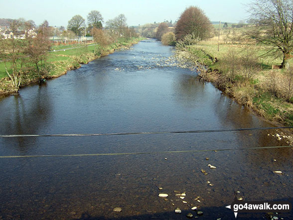
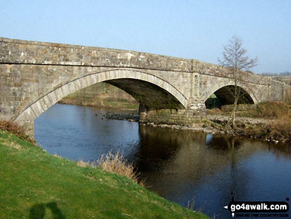
Some Photos and Pictures from Walk bo116 Roan Fell from Newcastleton
In no particular order . . .


Send us your photographs and pictures from your walks and hikes
We would love to see your photographs and pictures from walk bo116 Roan Fell from Newcastleton. Send them in to us as email attachments (configured for any computer) along with your name and where the picture was taken to:
and we shall do our best to publish them.
(Guide Resolution = 300dpi. At least = 660 pixels (wide) x 440 pixels (high).)

You can also submit photos from walk bo116 Roan Fell from Newcastleton via our Facebook Page.
NB. Please indicate where each photo was taken.


