Route outline for walk bo119:
Tow Ford - Dere Street - Woden Law - Langside Law - Buchtrig Farm - Humblemoor Hill - Little Humblemoor - The Hows - Tronshaw Hill - Upper Chatto - Chatto - Towford Farm - Kale Water - Tow Farm.
Points of Interest/Notes on this walk:
Woden Law is a British hillfort of the Votadini tribe & is famous for its Roman practise siegeworks (which are difficult to spot). There are Roman camps nearby at Pennymuir Rigg & Chew Green.
Dere Street a.k.a. Watling Street is the main roman road from London to the Edinburgh area and is probably called Dere Street because it goes to Deira (Yorkshire) where it becomes the A1.
Peaks, Summits and Tops reached on this walk:
 0 Munros |
 0 Corbetts |
 0 Grahams |
 0 Murdos |
 0 Donalds |
 0 Scottish Marilyns |
 0 Bridgets |
Peak Bagging Statistics for this walk:
The highest point of this walk is Woden Law at 422m (1385ft). Woden Law is Unclassified
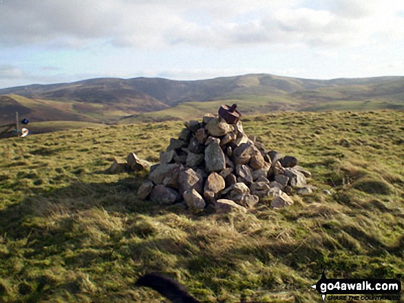
Completing this walk will also take you to the top of Humblemoor Hill at 363m (1191ft). Humblemoor Hill is Unclassified The summit of Humblemoor Hill is marked by a cairn.
You can find this walk and other nearby walks on these unique free-to-access Interactive Walk Planning Maps:
1:25,000 scale OS Explorer Map (orange/yellow covers):
1:50,000 scale OS Landranger Map (pink/magenta covers):
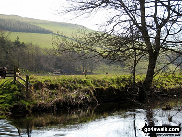
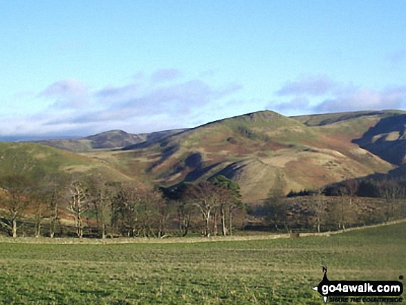
Some Photos and Pictures from Walk bo119 Woden Law and Humblemoor Hill from Tow Ford
In no particular order . . .
Send us your photographs and pictures from your walks and hikes
We would love to see your photographs and pictures from walk bo119 Woden Law and Humblemoor Hill from Tow Ford. Send them in to us as email attachments (configured for any computer) along with your name and where the picture was taken to:
and we shall do our best to publish them.
(Guide Resolution = 300dpi. At least = 660 pixels (wide) x 440 pixels (high).)
You can also submit photos from walk bo119 Woden Law and Humblemoor Hill from Tow Ford via our Facebook Page.
NB. Please indicate where each photo was taken.


