13 easy-to-follow walk route maps of all grades in The Cairngorm Mountains region of Scotland
Thirteen easy-to-follow walk route maps of all grades in The Cairngorm Mountains region of Scotland in Walk Grade Order
The Cairngorm MountainsThe Cairngorms National Park is the area enclosed by an imaginary line connecting:
- Kincraig to Grantown-on-Spey via the A9 through Aviemore to Boat of Garten & then the River Spey to the North West
- Grantown-on-Spey to Ballater via the A939 to the East
- Ballater to Glen Feshie via the A93 to Braemar & then the the River Dee via Linn of Dee, Geldie Burn and Glen Geldie to the South
- Glen Feshie to Kincraig via Glen Feshie to the West
Tap/mouse over a coloured circle (1-3 easy walks, 4-6 moderate walks, 7-9 hard walks) and click to select.
Not familiar with the The Cairngorm Mountains region of Scotland?
See these 13 walks in The Cairngorm Mountains on an interactive Google Map
See this list of walks, routes & maps in:
Grade Order | Length Order | Time Order | Walk Number or Start Location Order
NB. To reverse (toggle) this order, click Grade Order again

   |
Vital Statistics:
| Length: | 11.5 miles (18.5 km) |
| Ascent: | 4,260ft (1,298m) |
| Time: | 8½ hrs |
| Grade: |  |

Route Summary:
Corrour Bothy - Lairig Ghru - Allt a' Coire Odhar - Coire Odhar - The Devil's Point - Stob Coire an t-Saighdeir (Cairn Toul) - Cairn Toul (Carn an t-Sabhail) - Coire An an t-Sabhail - Sgor An Lochain Uaine (The Angel's Peak) - Garbh Core Mor - Carn na Criche (Braeriach) - Clais Luinneag - Loch Nan Stuirteng - Allt Clais an t-Sabhail - Allt a' Core Cath Nam Fionn - Glen Geusachan - Geusachan Burn - River Dee - Corrour Bothy - Lairig Ghru.


|
Vital Statistics:
| Length: | 12.75 miles (20.5 km) |
| Ascent: | 3,243ft (988m) |
| Time: | 8 hrs |
| Grade: | |

Route Summary:
Corrour Bothy - Lairig Ghru - River Dee - Glen Dee - Coachan Roibidh - Coire Coachan Roibidh - Beinn Bhrotain (East Top) - Coire an t-Sneachda - Beinn Bhrotain - Core Cath Nam Fionn - Leac Ghorm - Monadh Mor - Allt Luineas - Loch Nan Stuirteng - Allt Clais an t-Sabhail - Allt A`Coire Cath Nam Fionn - Glen Geusachan - Geusachan Burn - River Dee - Corrour Bothy - Lairig Ghru.

|
Vital Statistics:
| Length: | 8.25 miles (13 km) |
| Ascent: | 1,113ft (339m) |
| Time: | 4 hrs |
| Grade: |  |
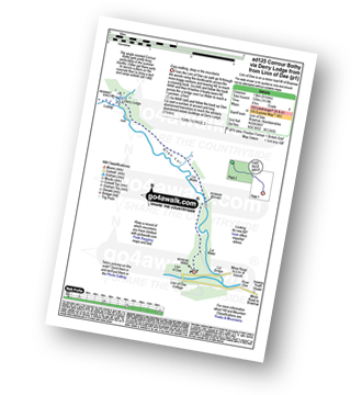
Route Summary:
Linn of Dee - Lui Water - Glen Lui - Derry Lodge - Luibeg - Glen Luibeg - Luibeg Bridge - Allt Preas Nam Meirleach - River Dee - Corrour Bothy - Lairig Ghru.

|
Vital Statistics:
| Length: | 7 miles (11 km) |
| Ascent: | 610ft (186m) |
| Time: | 3.25hrs |
| Grade: |  |


|
Vital Statistics:
| Length: | 4 miles (6.5 km) |
| Ascent: | 2,104ft (641m) |
| Time: | 3.75hrs |
| Grade: | |
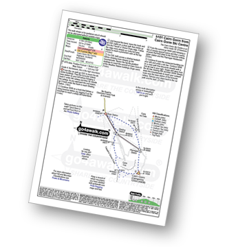
Route Summary:
Cairn Gorm Ski Centre - Shieling Station - Fiacaill a' Choire Chais - Cairn Gorm (Cairngorms) - Ptarmigan Station - Sron An Aonaich - Cairn Gorm Ski Centre

|
Vital Statistics:
| Length: | 4.75 miles (7.5 km) |
| Ascent: | 197ft (60m) |
| Time: | 2 hrs |
| Grade: |  |
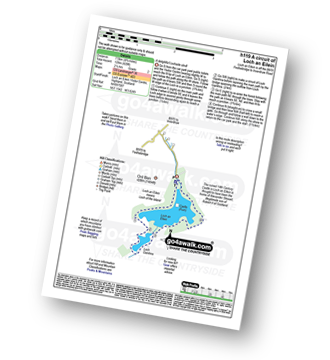
Route Summary:
Loch An Eilein Visitor Centre - Rothiemurchus Loch an Eilein - Loch Gamhna - Loch An Eilein Visitor Centre - Rothiemurchus.

|
Vital Statistics:
| Length: | 5.25 miles (8.5 km) |
| Ascent: | 1,666ft (508m) |
| Time: | 3.75hrs |
| Grade: | |

Route Summary:
Glenmore Forest Park Visitor Centre - Meall a' Bhuachaille - Ryvoan Bothy - An Lochan Uaine - Glenmore Lodge - Glenmore Forest Park Visitor Centre

|
Vital Statistics:
| Length: | 7.25 miles (11.5 km) |
| Ascent: | 2,609ft (795m) |
| Time: | 5.25hrs |
| Grade: |  |

Route Summary:
Cairn Gorm Ski Centre - Shieling Station - Fiacaill a' Choire Chais - Stob Coire an t-Sneachda (Cairn Gorm) - Fiacaill Choire an t-Sneachda - Cairn Lochan - Miadan Creag An Lech-choin - Creag An Leth-choin (Lurcher's Crag) - Cairn Gorm Ski Centre

|
Vital Statistics:
| Length: | 8.75 miles (14 km) |
| Ascent: | 3,036ft (925m) |
| Time: | 6.25hrs |
| Grade: | |

Route Summary:
Cairn Gorm Ski Centre - Sron An Aonaich - Ptarmigan Station - Cnap Coire na Spreidhe (Cairn Gorm) - Cairn Gorm (Cairngorms) - Coire Cas - Fiacaill a' Choire Chais - Stob Coire an t-Sneachda (Cairn Gorm) - Fiacaill Choire an t-Sneachda - Cairn Lochan - Miadan Creag An Lech-choin - Creag An Leth-choin (Lurcher's Crag) - Cairn Gorm Ski Centre

|
Vital Statistics:
| Length: | 15 miles (24 km) |
| Ascent: | 3,052ft (930m) |
| Time: | 8½ hrs |
| Grade: | |
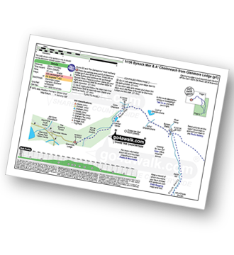
Route Summary:
Glenmore Lodge - Allt na Feithe Duibhe - An Lochan Uaine - Ryvoan Pass - River Nethy - Bynack Stable - Bynack More - Little Barns of Bynack - A' Choinneach (Bynack More) - Allt a' Choire Dherg - Bynack Beg (Bynack More) - Strath Nethy - Bynack Stable - Ryvoan Pass - Glenmore Lodge

|
Vital Statistics:
| Length: | 11 miles (17.5 km) |
| Ascent: | 1,159ft (353m) |
| Time: | 5 hrs |
| Grade: |  |

Route Summary:
Glenmore Lodge - Allt na Feithe Duibhe - An Lochan Uaine - Ryvoan Pass - Loch a' Gharbh-choire - Bynack Stable - River Nethy - Abernethy Forest - Ryvoan Bothy - Ryvoan Pass - Glenmore Lodge

|
Vital Statistics:
| Length: | 10 miles (16 km) |
| Ascent: | 2,425ft (739m) |
| Time: | 6 hrs |
| Grade: | |

Route Summary:
Glenmore Forest Park Visitor Centre - Glenmore Lodge - Allt na Feithe Duibhe - An Lochan Uaine - Ryvoan Pass - Ryvoan Bothy - Meall a' Bhuachaille - Creagan Gorm - Coire Beag-ghleann - Creag a' Chaillich - Craiggowrie - The Queen's Forest - Badaguish - Loch Morlich - Glenmore Forest Park Visitor Centre

|
Vital Statistics:
| Length: | 8.25 miles (13 km) |
| Ascent: | 745ft (244m) |
| Time: | 3.75hrs |
| Grade: | |
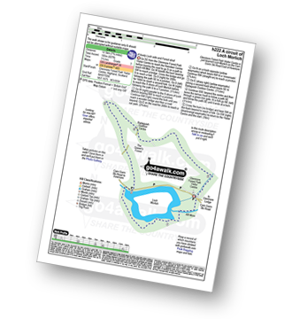
Route Summary:
Glenmore Forest Park Visitor Centre - Abhainn Ruigh-eunachan - Loch Morlich - River Luineag - The Queen's Forest - Badaguish Outdoor Centre - Glenmore Forest Park Visitor Centre
See this list of walks, routes & maps in:
Grade Order | Length Order | Time Order | Walk Number or Start Location Order
NB. To reverse (toggle) this order, click Grade Order again