
![]()
Fairfield
873m (2865ft)
The Eastern Fells, The Lake District, Cumbria, England
Tap/mouse over a coloured circle (1-3 easy walks, 4-6 moderate walks, 7-9 hard walks) and click to select.

Not familiar with this top?
You can walk/hike to the top of Fairfield by using any of these 6 easy‑to‑follow route maps:
Walk c266 Seat Sandal and Fairfield from Grasmere
Fabulous views - classic Lakeland
   |
|---|
Vital Statistics:
| Length: | 7.5ml (12km) |
|---|---|
| Ascent: | 3,116ft (950m) |
| Time: | 6 hrs |
| Grade: |  (Moderate) (Moderate) |

Route Summary:
Grasmere - Wainwright's Coast to Coast Walk - Mill Bridge - Little Tongue - Seat Sandal - Grisedale Tarn - Fairfield - Rydal Head - Great Rigg - Stone Arthur - Grasmere
Walk c358 Seat Sandal, Fairfield and Heron Pike from Grasmere
Fabulous views - classic Lakeland
|
|---|
Vital Statistics:
| Length: | 9.5ml (15km) |
|---|---|
| Ascent: | 3,682ft (1,122m) |
| Time: | 7.25hrs |
| Grade: |  (Hard) (Hard) |

Route Summary:
Grasmere - Mill Bridge - Little Tongue - Seat Sandal - Grisedale Tarn - Fairfield - Rydal Head - Great Rigg - Rydal Fell (Heron Pike North Top) - Heron Pike - Alcock Tarn - Grasmere
Walk c235 The Deepdale Horseshoe from Patterdale
Quieter alternative to crowded Helvellyn
|
|---|
Vital Statistics:
| Length: | 9.75ml (15.5km) |
|---|---|
| Ascent: | 3,516ft (1,072m) |
| Time: | 7 hrs |
| Grade: | (Hard) |

Route Summary:
Patterdale - Arnison Crag - Birks - St Sunday Crag - Deepdale Hause - Cofa Pike - Fairfield - Rydal Head - Hart Crag - Blake Brow - Hartsop Above How - Hoggill Brow - Gale Crag - Bleaberry Knott - Cockley How - Bridgend - Patterdale
Walk c247 The Fairfield Horseshoe from Ambleside
A classic lakeland horseshoe walk
|
|---|
Vital Statistics:
| Length: | 11ml (17.5km) |
|---|---|
| Ascent: | 3,633ft (1,107m) |
| Time: | 7.75hrs |
| Grade: | (Hard) |

Route Summary:
Ambleside - Rydal - Nab Scar - Heron Pike - Rydal Fell (Heron Pike North Top) - Great Rigg - Fairfield - Rydal Head - Hart Crag - Dove Crag - High Pike (Scandale) - Low Pike (Scandale) - High Sweden Bridge - High Sweden Coppice - Ambleside
Walk c389 Great Rigg, Fairfield and Hart Crag from Ambleside
A variation on a classic route
|
|---|
Vital Statistics:
| Length: | 12.25ml (19.5km) |
|---|---|
| Ascent: | 3,984ft (1,214m) |
| Time: | 8½ hrs |
| Grade: |  (Hard) (Hard) |

Route Summary:
Ambleside - Rydal - Nab Scar - Heron Pike - Rydal Fell (Heron Pike North Top) - Greenhead Gill Head - Stone Arthur - Great Rigg - Fairfield - Rydal Head - Hart Crag - Dove Crag - High Pike (Scandale) - Low Pike (Scandale) - High Sweden Bridge - High Sweden Coppice - Ambleside
Walk c230 The Scandale Beck Horizon from Ambleside
Fabulous high level route
|
|---|
Vital Statistics:
| Length: | 12.5ml (20km) |
|---|---|
| Ascent: | 3,411ft (1,040m) |
| Time: | 8 hrs |
| Grade: | (Hard) |

Route Summary:
Ambleside - Rydal - Nab Scar - Heron Pike - Rydal Fell (Heron Pike North Top) - Great Rigg - Fairfield - Rydal Head - Hart Crag - Dove Crag - Little Hart Crag - Scandale Pass - Red Screes - Snarker Pike - Ambleside
See Fairfield and the surrounding tops on our free-to-access 'Google Style' Peak Bagging Maps:
The Eastern Fells of The Lake District National Park
Less data - quicker to download
The Whole of The Lake District National Park
More data - might take a little longer to download
See Fairfield and the surrounding tops on our unique, downloadable, PDF Peak Bagging Maps:

NB: Whether you print off a copy or download it to your phone, these PDF Peak Baggers' Maps might prove incredibly useful when your are up there on the tops and you cannot get a phone signal.
*This version is marked with the walk routes you need to follow to Walk all 214 Wainwrights in just 59 walks.
You can find Fairfield & all the walks that climb it on these unique free-to-access Interactive Walk Planning Maps:
1:25,000 scale OS Explorer Map (orange/yellow covers):
1:50,000 scale OS Landranger Map (pink/magenta covers):
 Fellow go4awalkers who have already walked, climbed, scaled, summited, hiked & bagged Fairfield
Nick Tippins walked up Fairfield on July 2nd, 2025 [from/via/route] c247: The Fairfield Horseshoe from Ambleside [with] Fran
Paul Roddam climbed it on September 14th, 2024 [from/via/route] From Ambleside [with] Bri and Barber [weather] Wet
Chris Mcmanus bagged it on July 30th, 2024 [from/via/route] Circular route Hartsopp above How Hart Crag Fairfield St Sunday Birks Arnison [with] Joanne & Julie [weather] Sunny
Kate Peacock hiked Fairfield on May 18th, 2024 [from/via/route] Helen & Amber walked to this one with me. Anti-clockwise. Great walk. Busy due to events but people were friendly [with] Me & Skye [weather] Sunny with a nice breeze - Sunburnt as the breeze made me think it wasn't as hot
Christine Shepherd summited on May 15th, 2005 [from/via/route] Patterdale Reached this summit again on 19.6.22 when I did the Fairfield Horseshoe for the sixth time. [with] Rebecca [weather] Hot & sunny - I also reached this summit twice with friends in 2009; once using walk c230 The Scandale Beck Horizon & once using Walk c247 'The Fairfield Horseshoe'. I then did this last walk again by myself on 26.3.12 & 25.3.18. The Scandale Beck walk was rather eventful as I tripped & broke three ribs just after leaving the summit; a painful walk down to Ambleside!
To add (or remove) your name and experiences on this page - Log On and edit your Personal Mountain Bagging Record
. . . [see more walk reports]
More Photographs & Pictures of views from, on, or of, Fairfield
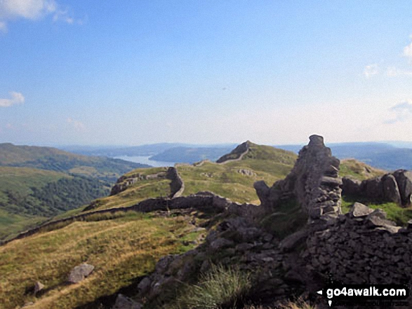
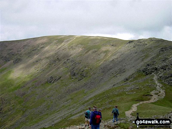
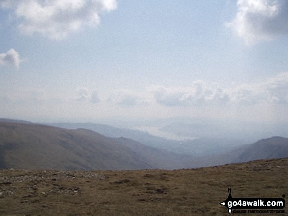
Windermere from Low Pike (Scandale) on the way back down from completing The Fairfield Horseshoe


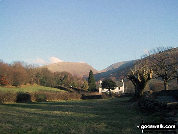
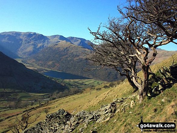
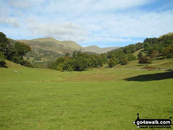
Seat Sandel (left) Grisedale Hause & Fairfield (right) from near Goody Bridge on the outskirts of Grasmere

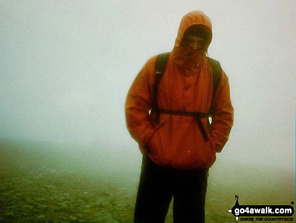
My wife just below High Pike (Scandale) during a temperature inversion on the Fairfield Horseshoe


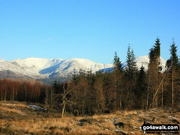
Dunmail Raise and Grasmere Village in the valley with Helvellyn (left), Fairfield (centre) and Seat Scandal, Great Rigg and Heron Pike beyond from Lang How


Steve Taylor and Ian Matthews Golledge looking back over Ambleside & Lake Windermere as we ascended Nab scar and on up to Fairfield
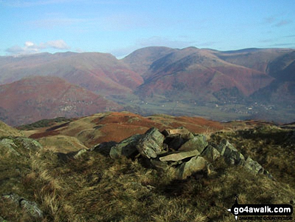
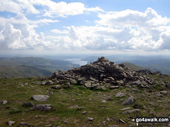
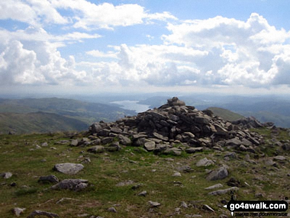
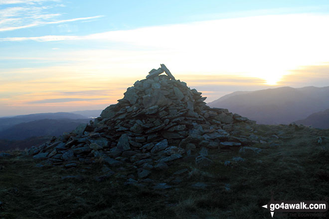
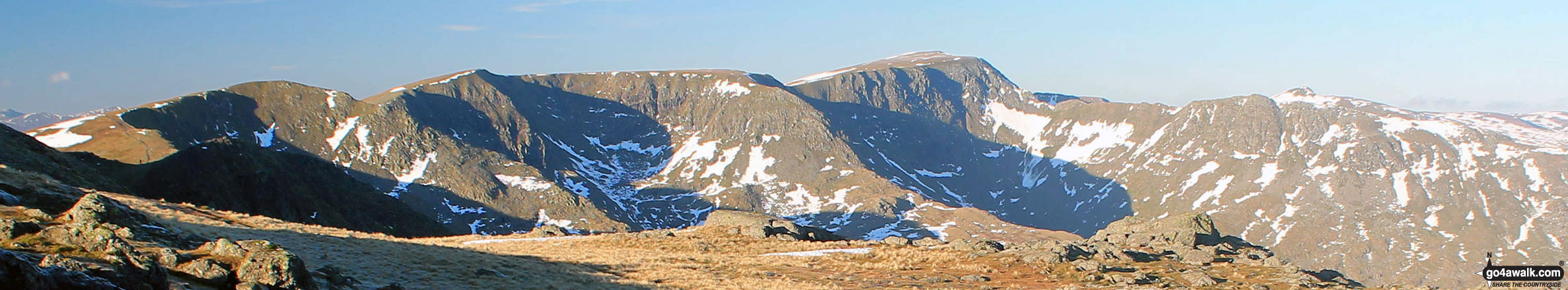
The Central Fells and Seat Sandal (right) from the summit of Fairfield

The Fairfield Horseshoe from the summit of Fairfield with Dove Crag (left), Rydal Beck, Ambleside, Windermere, Nab Scar and Heron Pike (prominent right)

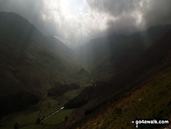
Storms brewing over St Sunday Crag (far left), Fairfield (left) and Dollywaggon Pike (right) and Grisedale from Brownend Plantation


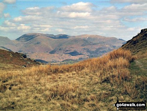
Steel Fell, Gibson Knott and Helm Crag below Seat Sandal (with Helvellyn and Fairfield in mist beyond) from Tarn Crag summit cairn

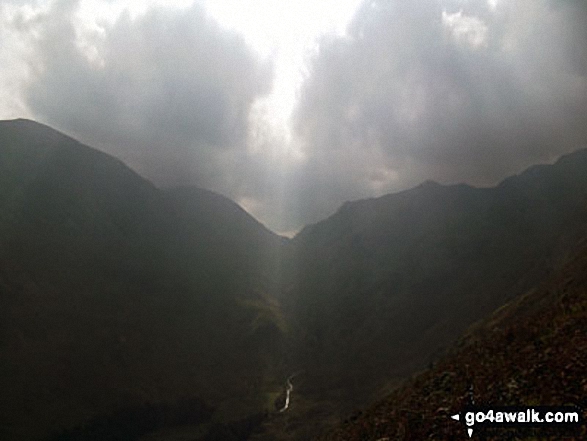
Rays of sun shining through the clouds over Fairfield (left) and Dollywaggon Pike (right) and Grisedale from Brownend Plantation

Helm Crag, Seat Sandal, Grisedale Hause, Fairfield, Great Rigg, Stone Arthur, Heron Crag, Nab Scar, Loughrigg and Grasmere above The Pass of Dunmail Raise from the top of High Raven Crag


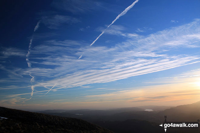
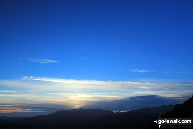
Sunset on Helvellyn, Fairfield (centre) and Seat Sandal from High Seat (Ashness Fell)


*The Coniston Fells, The Langdale Pikes, High Raise, The Helvellyn Ridge, Fairfield, Seat Sandal, Great Rigg, Heron Pike and finally Loughrigg Fell from Lang How

Chelmsford YHA members on Fairfield looking to Helvellyn, Striding Edge (High Spying How) and Catstycam

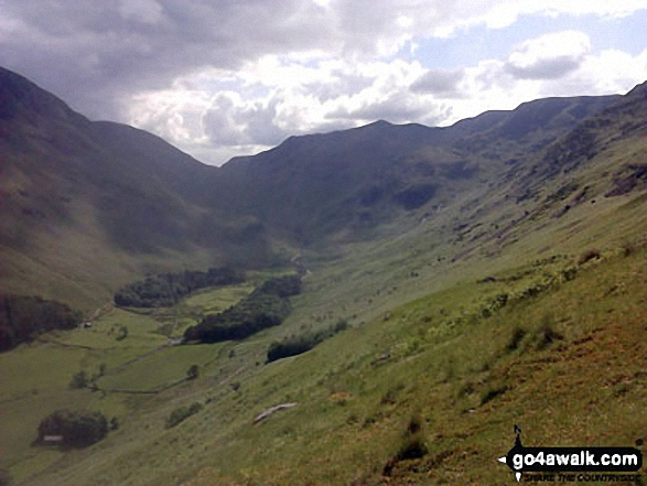
Ruthwaite Lodge (Climbing Hut), upper Grisedale with Fairfield in the background

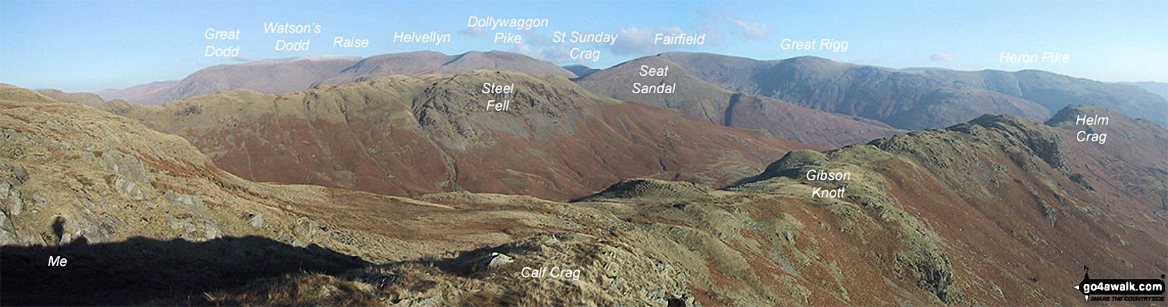
The Helvellyn Ridge featuring: Great Dodd, Watson's Dodd, Stybarrow Dodd, Raise (Helvellyn), White Side, Helvellyn, Nethermost Pike, Dollywaggon Pike, St Sunday Crag, Fairfield, Great Rigg and Heron Pike with Steel Fell (mid distance) and Calf Crag, Gibson Knott and Helm Crag (foreground) from Brownrigg Moss
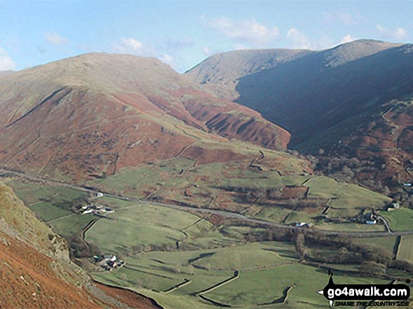
Seat Sandal (left) Grisedale Hause, Fairfield (centre) and Great Rigg above The Pass of Dunmail Raise from the top of High Raven Crag
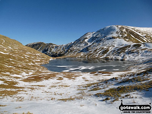
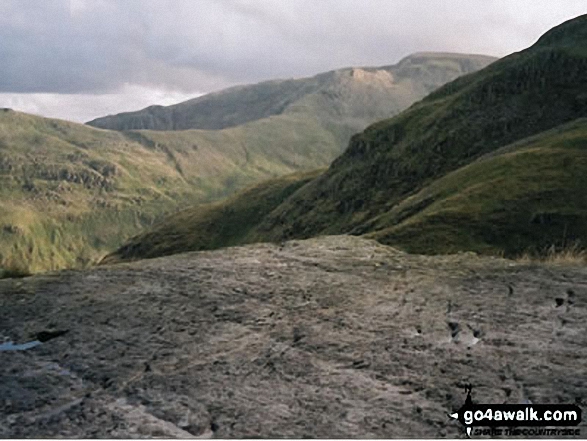
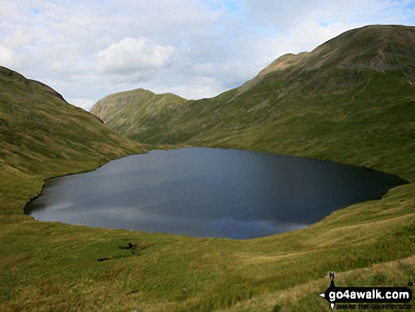
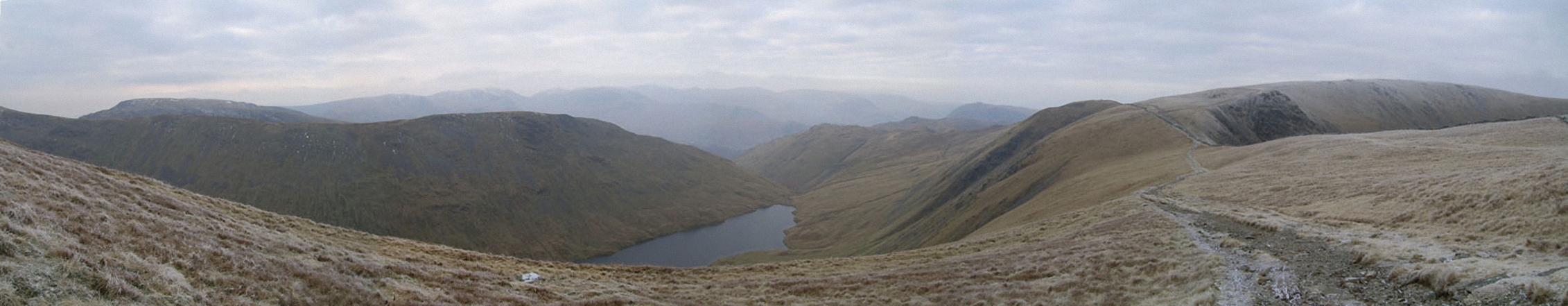
Grisedale Tarn in the snow with St Sunday Crag (centre left) and Fairfield (right)
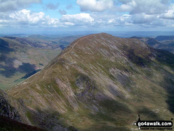
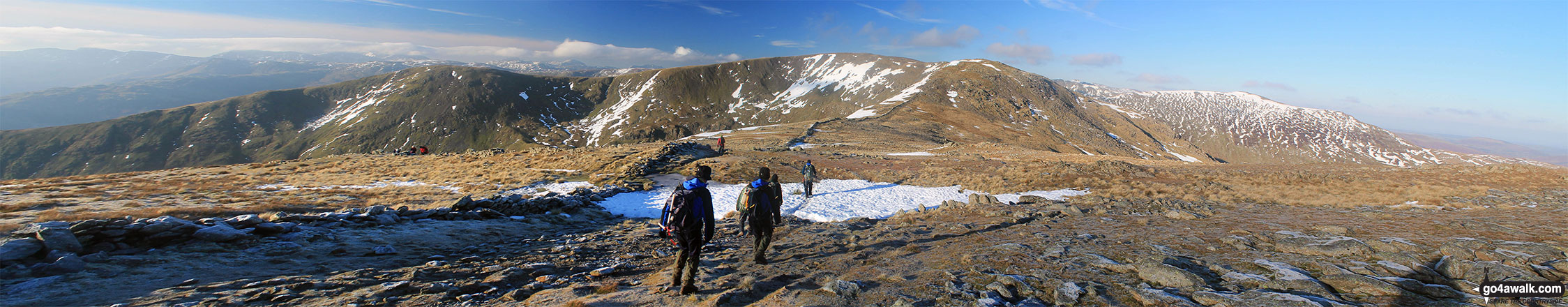
Heron Pike, Heron Pike (North Top), Great Rigg, Rydal Head and Fairfield from Hart Crag
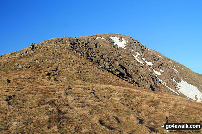
Cofa Pike and Fairfield from High Crag (Helvellyn) with Red Screes in the distance

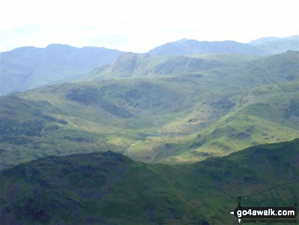
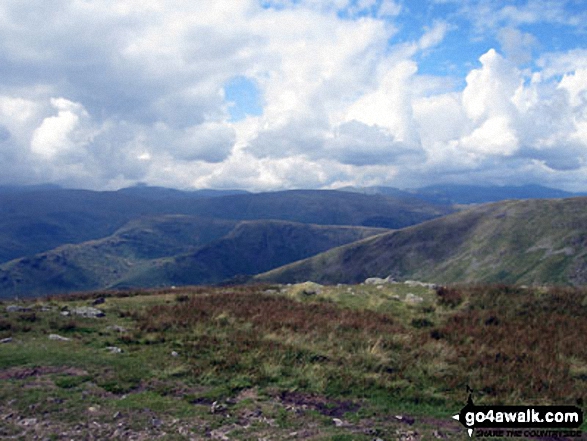
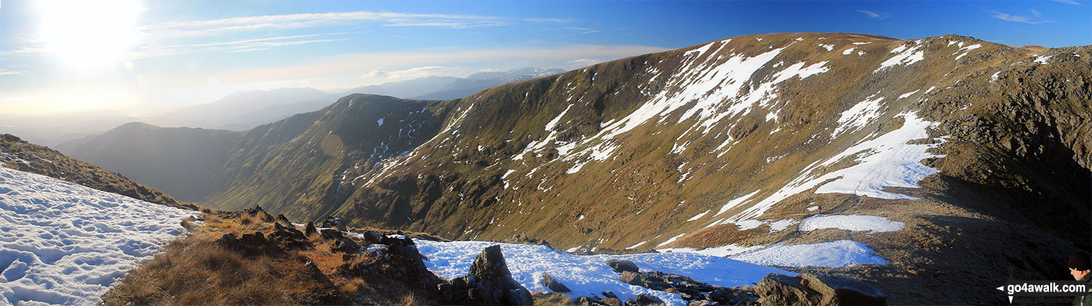
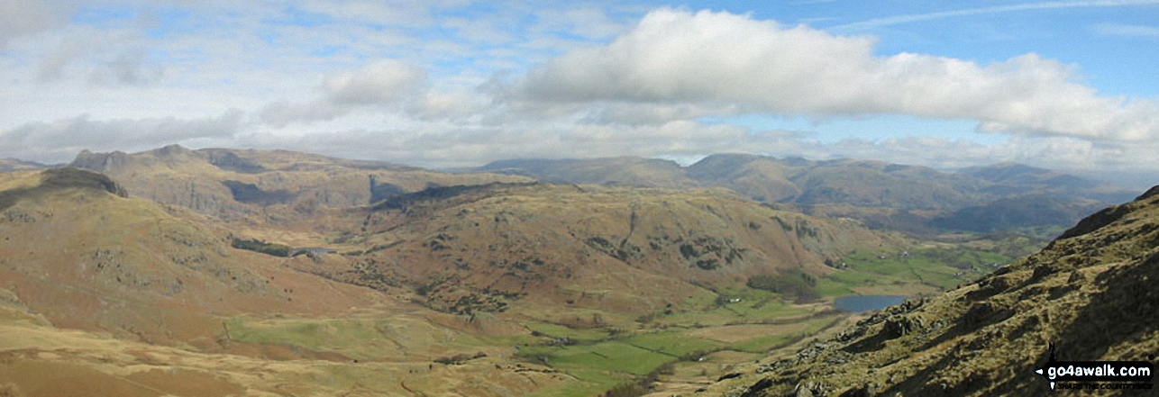
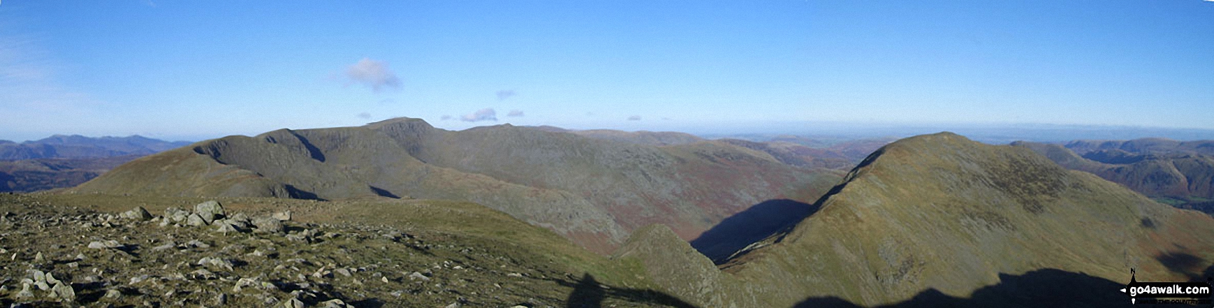
Easedale Tarn and High Raise (Langdale) with Bow Fell (Bowfell), Gunson Knott, Crinkle Crags (Long Top) and Crinkle Crags (South Top) beyond from Fairfield


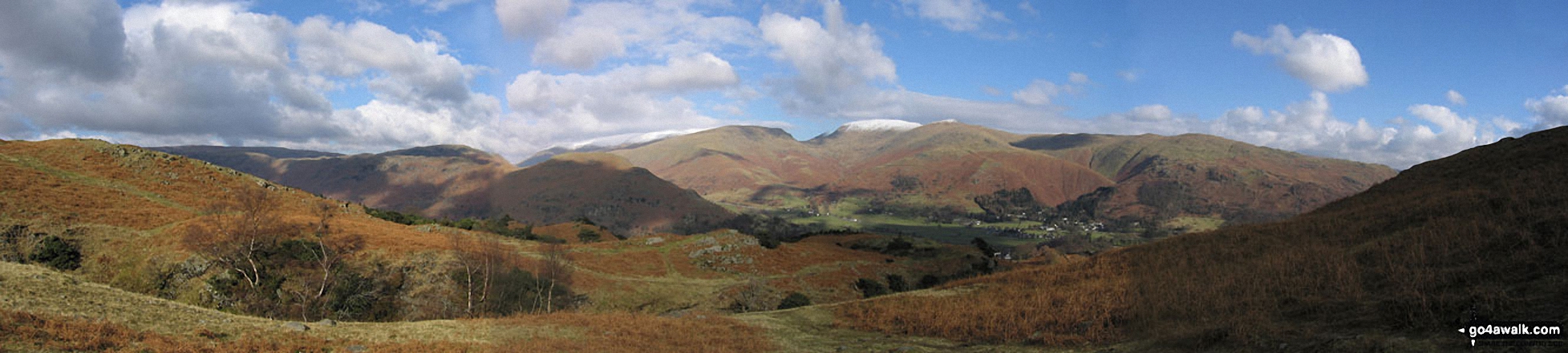
*Lakeland panorama featuring a snow-topped Helvellyn (centre left) and Fairfield (centre right) from above Grasmere


*Codale Tarn (left) and Easedale Tarn from the Blea Rigg ridge with Helvellyn (left), Seat Sandal (centre) and Fairfield (right) on the horizon
Looking up Grisedale to St Sunday Crag & Fairfield (left), Grisedale Hause, Dollywaggon Pike, High Crag (Helvellyn) & Nethermost Pike from below Hole-in-the-Wall
*Little Langdale with the Langdale Pikes, Helvellyn and Fairfield beyond from Wetherlam

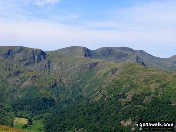
Dove Crag, Hart Crag and Fairfield dominate the skyline beyond Brothers Water

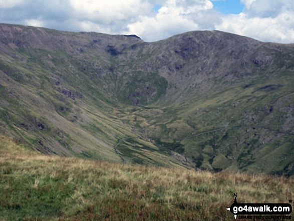
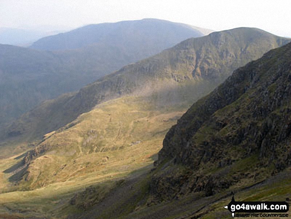
Rydal Head with Fairfield (left) and Hart Crag (right) from Great Rigg

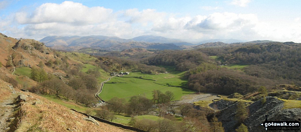
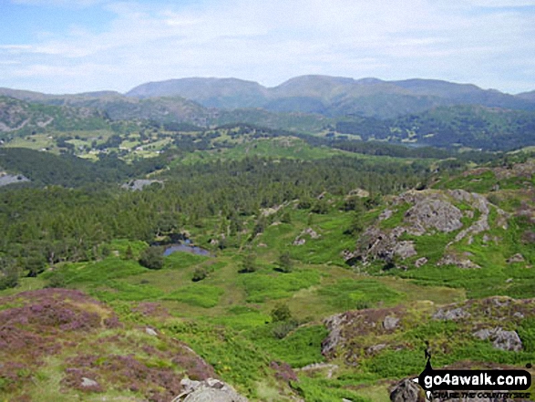
Looking into the Fairfield Horseshoe from the old intake below the summit of Latterbarrow

Clouds rolling in over Fairfield (left), Dollywaggon Pike and Nethermost Pike from Helvellyn


*Hayeswater with the Fairfield and Helvellyn Ridges beyond from High Street

The Helvellyn Ridge featuring Dollywaggon Pike, Nethermost Pike, Helvellyn and Striding Edge (High Spying How) from Fairfield


St Sunday Crag (left), Fairfield (right) and Grisedale Hause from Seat Sandal

Grisedale Tarn, St Sunday Crag and the shoulder of Fairfield from Seat Sandal
Storms developing over Fairfield (left) and Dollywaggon Pike (right) from Brownend Plantation, Grisedale

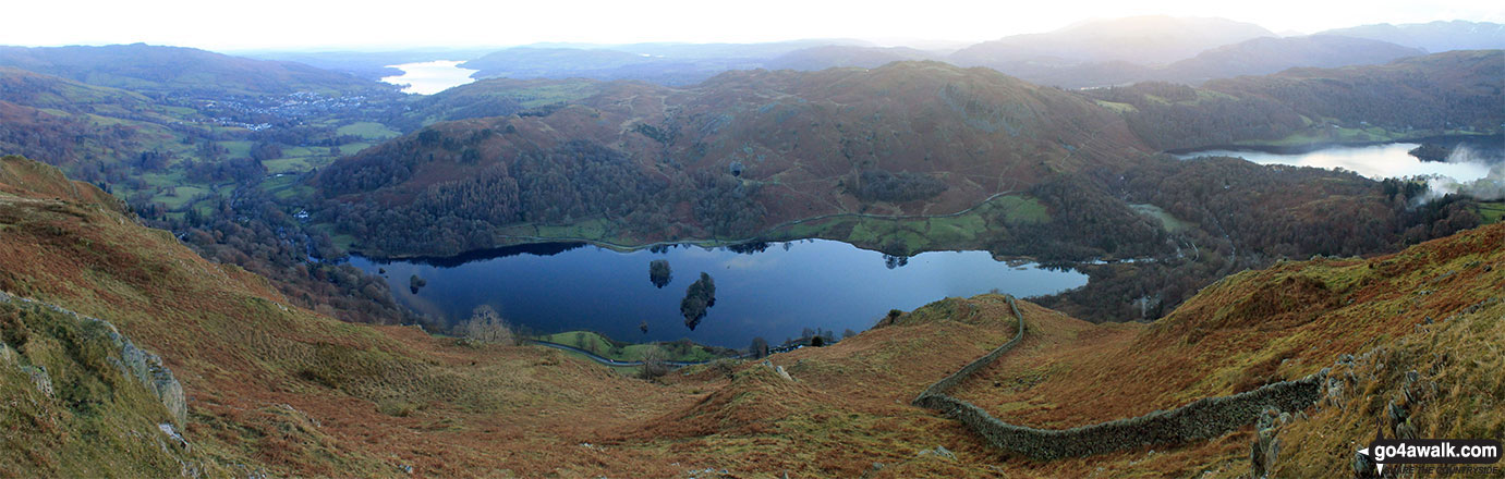
Rydal Water (centre) with Lake Windermere (top left) and Grasmere (right) from Nab Scar on The Fairfield Horeshoe
. . . see just 10 walk photographs & pictures of views from, on, or of, Fairfield
Send us your photographs and pictures on, of, or from Fairfield
If you would like to add your walk photographs and pictures to this page, please send them as email attachments (configured for any computer) along with your name to:
and we shall do our best to publish them.
(Guide Resolution = 300dpi. At least = 660pixels (wide) x 440 pixels (high).)

You can also submit photos via our Facebook Page.
NB. Please indicate where each photo was taken and whether you wish us to credit your photos with a Username or your First Name/Last Name.


