6 walks in The South Western Marches area of The Lake District
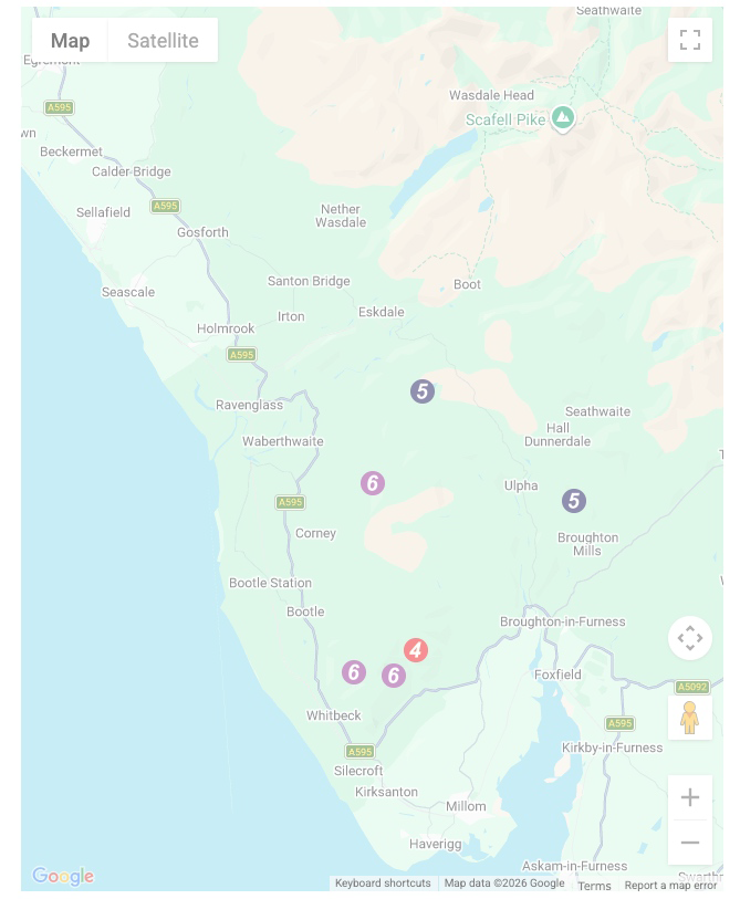
Six easy-to-follow, hand-crafted walks including routes from Allithwaite, Beckside Farm, Broad Oak, Broughton Mills, Brown Howe, Grange-over-Sands, Seathwaite, Duddon Valley, Silecroft & Ulverston that climb Black Combe (the highest point), Whit Fell, Buck Barrow, Yoadcastle, Muncaster Fell & Stainton Pike amongst others. More details about each walk can be found below the map.
The South Western Marches area of The Lake District National Park is the area enclosed by:
- The Irish Sea to the South and West
- An imaginary line from Whitehaven to the Southern Tip of Wast Water and then Seathwaite (Duddon Valley) to the North East
- The River Duddon to the East
Interactive Map of Walks in The South Western Marches area of The Lake District
![]() How to Load this interactive map: Due to usage restrictions, you must be Registered and Logged-On to go4awalk.com to view and use the interactive Google Map below. You do not need to purchase any credits, but you must be Registered and Logged-On.
How to Load this interactive map: Due to usage restrictions, you must be Registered and Logged-On to go4awalk.com to view and use the interactive Google Map below. You do not need to purchase any credits, but you must be Registered and Logged-On.


