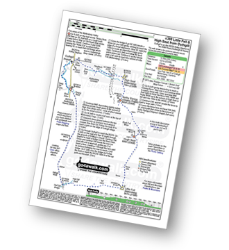
Walk c388 Little Fell (Mallerstang) and High Seat from Outhgill
This highly detailed, easy-to-follow, hand-crafted walk, complete with GPS Waypoints, starts at Thrang Beck, is 9¾ miles long and will take about 5¾hrs. It is Graded 6 (Moderate).
   |
Vital Statistics:
| Length: | 9¾mls (15.5km) |
| Ascent: | 2,038ft (621m) |
| Time: | 5¾hrs |
| Grade: |  |
Route outline for walk c388:
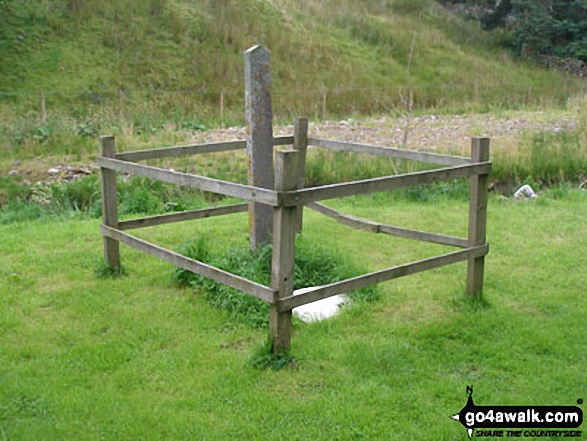
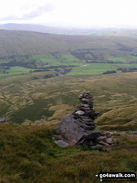
Thrang Beck - The Lady Anne's Way - Water Cut Sculpture - Hell Gill Bridge - Little Fell (Lunds Fell) (Mallerstang) - Hugh Seat - Black Fell Moss - Archy Styrigg (Gregory Chapel) - High Seat (Mallerstang) - Mallerstang Edge - Outhgill - River Eden - Thrang Beck
Peaks, Summits and Tops reached on this walk:
 2 English Mountains |
 0 Wainwrights |
 4 English Nuttalls |
 0 English Deweys |
 0 Wainwright Outlying Fells |
 0 Marilyns |
 0 Bridgets |
Peak Bagging Statistics for this walk:
The highest point of this walk is High Seat (Mallerstang) at 709m (2326ft). High Seat (Mallerstang) is classified as an English Mountain (Hewitt) (95th highest in England, 161st highest in England & Wales)
High Seat (Mallerstang) is also known as an English Nuttall (119th highest in England, 203rd highest in England & Wales).
Completing this walk will also take you to the top of Archy Styrigg (Gregory Chapel) at 695m (2280ft). Archy Styrigg (Gregory Chapel) is also known as an English Nuttall (141st highest in England, 231st highest in England & Wales).
You will also reach the summit of Hugh Seat at 689m (2261ft). Hugh Seat is also known as an English Nuttall (145th highest in England, 240th highest in England & Wales).
Along the way you will also bag:
- Little Fell (Lunds Fell) (Mallerstang) at 667m (2189ft). Little Fell (Lunds Fell) (Mallerstang) is classified as an English Mountain (Hewitt) (130th England, 221st Eng & Wal) and an English Nuttall (174th highest in England, 294th highest in England & Wales).
National Trails & Long Paths included on this walk:
Part of this walk follows a section of The Lady Anne's Way, a 161km (100 miles) linear footpath connecting Skipton in North Yorkshire, with Penrith in Cumbria, England. The Lady Anne's Way is waymarked by named posts. For more walks that include a section of this trail see The Lady Anne's Way.
You can find this walk and other nearby walks on these unique free-to-access Interactive Walk Planning Maps:
(worth a look if you've never seen one of these superb, free-to-access, walk planing maps)
1:25,000 scale OS Explorer Map (orange/yellow covers):
1:50,000 scale OS Landranger Maps (pink/magenta covers):
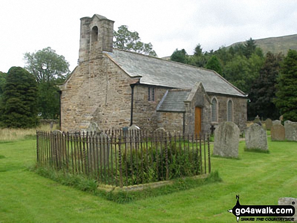
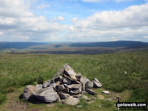
Some Photos and Pictures from Walk c388 Little Fell (Mallerstang) and High Seat from Outhgill
In no particular order . . .

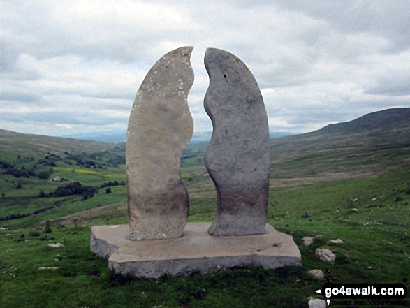

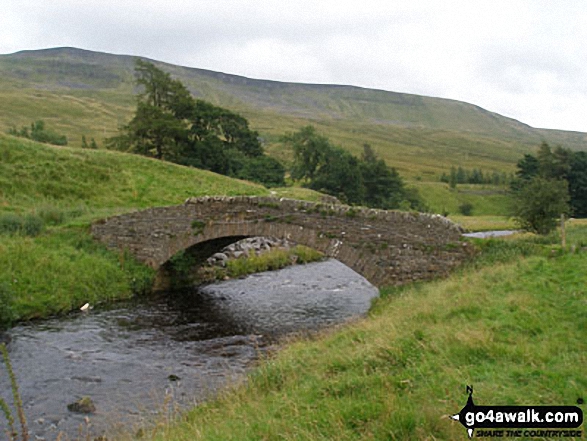

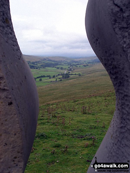
Outhgill and the Mallerstang Valley 'through' The Water Cut Sculpture on Lady Anne's Way
. . . load all 23 walk photos from Walk c388 Little Fell (Mallerstang) and High Seat from Outhgill
Send us your photographs and pictures from your walks and hikes
We would love to see your photographs and pictures from walk c388 Little Fell (Mallerstang) and High Seat from Outhgill. Send them in to us as email attachments (configured for any computer) along with your name and where the picture was taken to:
and we shall do our best to publish them.
(Guide Resolution = 300dpi. At least = 660 pixels (wide) x 440 pixels (high).)

You can also submit photos from walk c388 Little Fell (Mallerstang) and High Seat from Outhgill via our Facebook Page.
NB. Please indicate where each photo was taken.

To contribute to go4awalk.com or to contact us about anything at all - see Talk To Us.
For help see Help.
go4awalk.com and go4awalk.co.uk are registered trademarks of TMDH Limited.
Copyright © 2000-2026 TMDH Limited. All rights reserved.
Copyright Terms & Conditions Privacy Statement
A - Z Walks Home Log On/Accounts Photo Gallery Walk Ideas and Collections Fell Facts Hill Skills Walking Questions and Answers Your Stories News Competitions Product Reviews/Gear Tests Walking Gear Guides Peaks and Mountains Peak Bagging Find New Walking Friends Camping GPS Waypoints for Walking Contents Walk Search Talk To Us go4awalk.com Help Free Example Walks Newsletter


