UK Postcode SK23 - The 30 nearest easy-to-follow, circular walk route maps to you
The thirty nearest easy-to-follow, circular walk route maps to you in UK Postcode SK23 in Walk Grade Order
The UK cities, towns and villages in Derbyshire, England that have SK23 in their UK Postcode include:
• Chapel-en-le-Frith • Chinley • Whaley Bridge •
Not familiar with the area around SK23?
See these 30 nearest walks to UK Postcode SK23 on a google map

   |
Vital Statistics:
| Length: | 7.75 miles (12.5 km) |
| Ascent: | 1,650ft (503m) |
| Time: | 4½ hrs |
| Grade: |  |

Route Summary:
Slackhall - Chestnut Centre - Bowden Head Fold - Wash - Breckhead Farm - Dawsnap Farm - Bennett Barn - Bullhill Farm - Andrews Farm - Pennine Bridleway - Mount Famine - South Head (Hayfield) - Roych Clough - Bolehill Clough - Tom Moor Plantation - Breck Edge - Slackhall


|
Vital Statistics:
| Length: | 6.25 miles (10 km) |
| Ascent: | 1,451ft (442m) |
| Time: | 3.75hrs |
| Grade: |  |
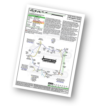
Route Summary:
Pym Chair - Jenkin Chapel - Broad Moss - Saddle Cote - Moss Brook - Harrop Fold Farm - Black Brook - Charles Head Farm - Near Carr Farm - Fivelane-ends - Taxal Edge - Windgather Rocks - Goyt Forest - Ladbitch Wood - Pym Chair

|
Vital Statistics:
| Length: | 8.75 miles (14 km) |
| Ascent: | 1,694ft (516m) |
| Time: | 5 hrs |
| Grade: | |
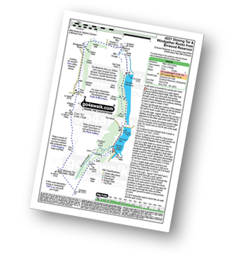
Route Summary:
Errwood Reservoir - The Goyt Valley - Shooter's Clough - Shining Tor - The Tors - Cats Tor - Oldgate Nick - Pym Chair - Goyt Forest - Windgather Rocks - Taxal Edge - Overton Hall Farm - The Midshires Way - Madscar Farm - Mill Clough - Knife Farm - The Goyt Valley - Fernilee Reservoir - Hoo Moor - Deep Clough - Jep Clough - The Street - The Goyt Valley - Errwood Reservoir

|
Vital Statistics:
| Length: | 6 miles (9.5 km) |
| Ascent: | 1,310ft (399m) |
| Time: | 3½ hrs |
| Grade: | |
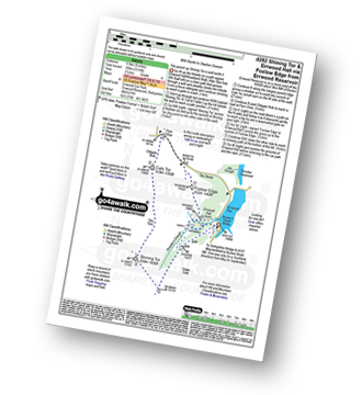
Route Summary:
Errwood Reservoir - The Goyt Valley - Shooter's Clough - Shining Tor - The Tors - Cats Tor - Oldgate Nick - Pym Chair - The Street - Foxlow Edge - The Goyt Valley - Errwood Hall - Errwood Reservoir

|
Vital Statistics:
| Length: | 7.25 miles (11.5 km) |
| Ascent: | 1,388ft (423m) |
| Time: | 4 hrs |
| Grade: | |
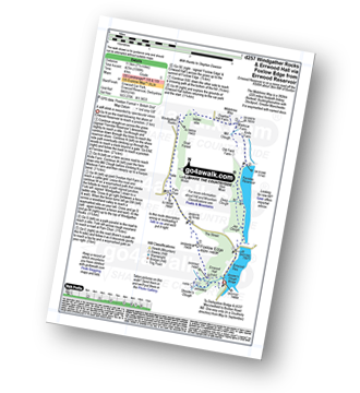
Route Summary:
Errwood Reservoir - The Goyt Valley - The Street - Fernilee Reservoir - Jep Clough - Deep Clough - Mill Clough - The Midshires Way - Knife Farm - Madscar Farm - Overton Hall Farm - Taxal Edge - Windgather Rocks - Goyt Forest - Pym Chair - The Street - Foxlow Edge - The Goyt Valley - Errwood Hall - Errwood Reservoir

|
Vital Statistics:
| Length: | 9.5 miles (15 km) |
| Ascent: | 2,071ft (631m) |
| Time: | 5½ hrs |
| Grade: |  |

Route Summary:
Errwood Reservoir - The Goyt Valley - Bunsal Cob - Wild Moor - Wildmoorstone Brook - Watford Moor - Beet Wood - Burbage Church - Buxton - Burbage Edge Plantation - Burbage Edge - Berry Clough - Goyt's Clough - Goyt's Moss - Deep Clough - Goytsclough Quarry - Stake Clough - Stake Side - The Goyt Valley - Errwood Hall - Errwood Reservoir

|
Vital Statistics:
| Length: | 10.5 miles (17 km) |
| Ascent: | 2,055ft (626m) |
| Time: | 6 hrs |
| Grade: | |
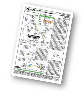
Route Summary:
Hayfield - Sett Valley Trail - Birch Vale - The River Sett - The Pennine Bridleway - Lantern Pike - Rowarth - Cown Edge Rocks - Chunal Road (Glossop) - Hollingwood Clough - Middle Moor (Hayfield) - The Snake Path - Hayfield

|
Vital Statistics:
| Length: | 4.75 miles (7.5 km) |
| Ascent: | 899ft (274m) |
| Time: | 2.75hrs |
| Grade: |  |
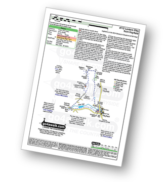
Route Summary:
Hayfield - Sett Valley Trail - Birch Vale - The River Sett - The Pennine Bridleway - Lantern Pike - Hey Wood - Little Hayfield - Sett Valley Trail - Hayfield

|
Vital Statistics:
| Length: | 9.5 miles (15 km) |
| Ascent: | 2,074ft (632m) |
| Time: | 5½ hrs |
| Grade: | |

Route Summary:
Hayfield - Sett Valley Trail - Birch Vale - The River Sett - The Pennine Bridleway - Lantern Pike - Matley Moor - Burnt Hill - Mill Hill (Ashop Head) - The Pennine Way - William Clough - Kinder Reservoir - Snake Path - Middle Moor - Hayfield

|
Vital Statistics:
| Length: | 13.5 miles (21.5 km) |
| Ascent: | 2,914ft (888m) |
| Time: | 7.75hrs |
| Grade: |  |
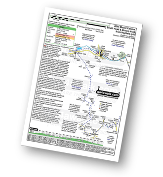
Route Summary:
Hayfield - Sett Valley Trail - Birch Vale - Morland Road - Ollersett - New Allotments - Chinley Head - Mount Famine - South Head (Hayfield) - Brown Knoll (Edale) - Edale Cross - Oaken Clough - Coldwell Clough - Tunstead House - Bowden Bridge - Hayfield

|
Vital Statistics:
| Length: | 4.75 miles (7.5 km) |
| Ascent: | 843ft (257m) |
| Time: | 2.75hrs |
| Grade: | |

Route Summary:
Hayfield - Sett Valley Trail Car Park - Valley Road - Bowden Bridge Car Park - Kinder Road - Kinder Reservoir - White Brow - Middle Moor (Hayfield) - Snake Path - Sett Valley Trail Car Park - Hayfield

|
Vital Statistics:
| Length: | 8.75 miles (14 km) |
| Ascent: | 1,861ft (567m) |
| Time: | 5 hrs |
| Grade: | |

Route Summary:
Hayfield - Sett Valley Trail - Birch Vale - Morland Road - Ollersett - New Allotments - Chinley Churn - Cracken Edge - Chinley - Vorposten - Hayfield

|
Vital Statistics:
| Length: | 10.5 miles (17 km) |
| Ascent: | 2,468ft (752m) |
| Time: | 6.25hrs |
| Grade: | |
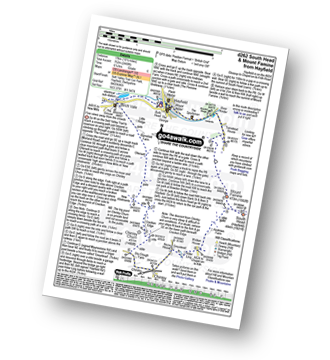
Route Summary:
Hayfield - Sett Valley Trail - Birch Vale - Morland Road - Ollersett - New Allotments - Cracken Edge - Chinley Churn - Chinley Head - Dry Clough Farm - Chinley - Naze House - Greystead - Alder Ling - Wicken House - Andrews Farm - South Head (Hayfield) - Mount Famine - Elle Bank - Pennine Bridleway - Tunstead House - Bowden Bridge - Hayfield

|
Vital Statistics:
| Length: | 7.5 miles (12 km) |
| Ascent: | 1,808ft (551m) |
| Time: | 4½ hrs |
| Grade: | |

Route Summary:
Bowden Bridge - Hayfield - Turnstead House - Coldwell Clough - Oaken Clough - Edale Cross - Brown Knoll (Edale) - South Head (Hayfield) - Mount Famine - Elle Bank - The Pennine Bridleway - Tunstead House - Bowden Bridge - Hayfield

|
Vital Statistics:
| Length: | 10.75 miles (17 km) |
| Ascent: | 2,242ft (683m) |
| Time: | 6.25hrs |
| Grade: | |

Route Summary:
Bowden Bridge - Hayfield - Booth Sheepwash - Farlands - Broad Clough - Kinderlow End - Three Knolls - Cluther Rocks - Red Brook - The Pennine Way - Kinder Downfall - Kinder Low (Kinder Scout) - Brown Knoll (Edale) - South Head (Hayfield) - Mount Famine - Elle Bank - The Pennine Bridleway - Tunstead House - Hayfield
Not familiar with the area around SK23?
See these 30 nearest walks to UK Postcode SK23 on a google map

|
Vital Statistics:
| Length: | 8.75 miles (14 km) |
| Ascent: | 2,192ft (688m) |
| Time: | 5½ hrs |
| Grade: | |

Route Summary:
Bowden Bridge - Hayfield - Booth Sheepwash - White Brow - Kinder Reservoir - Nab Brow - William Clough - Ashop Head - Mill Hill (Ashop Head) - The Pennine Way - Kinder Scout - The Edge (Kinder Scout) - Kinder Downfall - Red Brook - Cluther Rocks - Kinder Low (Kinder Scout) - Edale Cross - Kinderlow End - Oaken Clough - Tunstead House Farm - Bowden Bridge - Hayfield

|
Vital Statistics:
| Length: | 8.75 miles (14 km) |
| Ascent: | 1,851ft (564m) |
| Time: | 5 hrs |
| Grade: | |
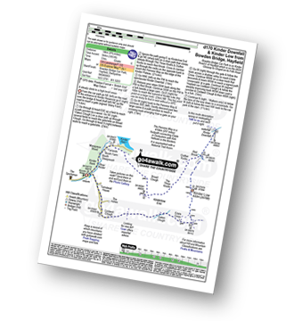
Route Summary:
Bowden Bridge - Hayfield - Booth Sheepwash - Farlands - Broad Clough - Kinderlow End - Three Knolls - Cluther Rocks - Red Brook - The Pennine Way - Kinder Downfall - Kinder Low (Kinder Scout) - Edale Cross - Oaken Clough - Coldwell Clough - Bowden Bridge - Hayfield

|
Vital Statistics:
| Length: | 12.75 miles (20.5 km) |
| Ascent: | 1,959ft (597m) |
| Time: | 6.75hrs |
| Grade: | |

Route Summary:
Peak Forest - Dam Dale - Hay Dale - Dale Head - Peter Dale - Monk's Dale - Miller's Dale - The Monsal Trail - Litton Mill - Tideswell Dale - Tideswell - Brook Bottom (Tideswell) - Batham Gate - Old Peak - Peak Forest

|
Vital Statistics:
| Length: | 6.5 miles (10.5 km) |
| Ascent: | 1,283ft (391m) |
| Time: | 3.75hrs |
| Grade: | |

Route Summary:
Buxton (Burbage Church) - Burbage Edge Plantation - Burbage Edge - Berry Clough - Goyt's Clough - Goyt's Moss - Goytsclough Quarry - The Goyt Valley - Wild Moor - Wildmoorstone Brook - Watford Moor - Beet Wood - Buxton (Burbage Church)

|
Vital Statistics:
| Length: | 7.25 miles (11.5 km) |
| Ascent: | 1,201ft (366m) |
| Time: | 3.75hrs |
| Grade: | |

Route Summary:
Lyme Park Car Park - Crow Wood - Hase Bank Wood - West Parkgate - The North Cheshire Way - Keepers' Cottage - Dale Top - Sponds Moor - The Gritstone Trail - Sponds Hill - Bow Stones - Bowstonegate Farm - Lyme Park Country Park - Lantern Wood - The Cage - Fallow Deer Park - The Lime Avenue - Lyme Park Car Park

|
Vital Statistics:
| Length: | 4.5 miles (7 km) |
| Ascent: | 715ft (218m) |
| Time: | 2½ hrs |
| Grade: | |

Route Summary:
Lyme Park Car Park - Lyme Park Country Park - Pursefield Wood - Paddock Cottage,Knightslow Wood, - Higher Moor - Lantern Wood - The Cage - The North Cheshire Way - Lyme Hall - Lyme Park Car Park

|
Vital Statistics:
| Length: | 6.25 miles (10 km) |
| Ascent: | 1,224ft (373m) |
| Time: | 3½ hrs |
| Grade: | |

Route Summary:
Lamaload Reservoir - Shining Tor - Cats Tor - Pym Chair - Jenkin Chapel - Lamaload Reservoir

|
Vital Statistics:
| Length: | 3.5 miles (5.5 km) |
| Ascent: | 840ft (256m) |
| Time: | 2.25hrs |
| Grade: | |

Route Summary:
Lamaload Reservoir - Saltersford Hall - Jenkin Chapel - Waggonshaw Brow - Yearns Low - Lamaload Roservoir.

|
Vital Statistics:
| Length: | 9.5 miles (15 km) |
| Ascent: | 1,611ft (491m) |
| Time: | 5 hrs |
| Grade: | |

Route Summary:
Lamaload Reservoir - Saltersford Hall - Jenkin Chapel - Kettleshulme - Windgather Rocks - Pym Chair - Cats Tor - Shining Tor - Lamaload Reservoir

|
Vital Statistics:
| Length: | 7.25 miles (11.5 km) |
| Ascent: | 1,680ft (512m) |
| Time: | 4½ hrs |
| Grade: | |
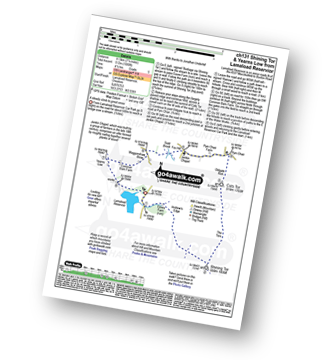
Route Summary:
Lamaload Reservoir - Shining Tor - Cats Tor - Pym Chair - Jenkin Chapel - Waggonshaw Brow - Yearns Low - Lamaload Reservoir

|
Vital Statistics:
| Length: | 4.75 miles (7.5 km) |
| Ascent: | 689ft (210m) |
| Time: | 2½ hrs |
| Grade: | |

Route Summary:
Buxton and Poole's Cavern Country Park - The Dane Valley Way - Grinlow Tower - Solomon's Temple - Grin Plantation - Poole's Cavern - Fern House - Countess Cliff Farm - Stanley Moor - Stanley Moor Reservoir - Buxton and Poole's Cavern Country Park

|
Vital Statistics:
| Length: | 9.5 miles (15 km) |
| Ascent: | 1,696ft (517m) |
| Time: | 5.25hrs |
| Grade: | |
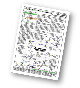
Route Summary:
Strines Station - Lower Cliffe Cottage - Higher Banks Cottage - Cobden Edge - Mellor Moor - Mellor - Mellor Church - Hilltop Farm - Shiloh Hall Farm - Ringstones Farm - Ayton Farm - Rowarth - Thornsett Fields Farm - New Mills - Whitle - Brook Bottom - The Goyt Way - The Midshires Way - Strines Station

|
Vital Statistics:
| Length: | 8.25 miles (13 km) |
| Ascent: | 1,247ft (380m) |
| Time: | 4.25hrs |
| Grade: | |

Route Summary:
Cat and Fiddle - A537 Goyt's Moss - Whetstone Ridge - Danebower Hollow - A54 - Danebower Quarries - The River Dane - The Dane Valley Way - Orchard Farm - Three Shires Head - Panniers Pool - Cheeks Hill - Dane Head - Axe Edge (Axe Edge Moor) - A54 - Cat and Fiddle

|
Vital Statistics:
| Length: | 3 miles (5 km) |
| Ascent: | 951ft (290m) |
| Time: | 2 hrs |
| Grade: | |

Route Summary:
Edale - Small Clough - Hardenclough Farm - Greenlands - Mam Tor - Hollins Cross - Hollins - The Vale of Edale - Edale

|
Vital Statistics:
| Length: | 10.25 miles (16.5 km) |
| Ascent: | 1,585ft (483m) |
| Time: | 5.25hrs |
| Grade: | |
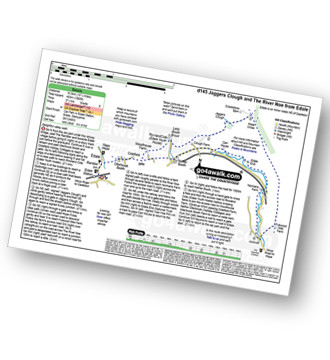
Route Summary:
Edale - Ollerbrook Booth - Rowland Cote (Edale Youth Hostel) - Lady Booth Brook - Nether Moor - Backside Wood - Jaggers Clough - Hope Cross - Fulwood Stile Farm. Hope - The River Noe - Normans Farm - Edale End - Carr House - Nether Booth - Ollerbrook Booth - The Vale of Edale - Edale
Not familiar with the area around SK23?
See these 30 nearest walks to UK Postcode SK23 on a google map