The 30 nearest, easy-to-follow, circular walks, routes & maps to UK Postcode LL46

The thirty nearest, easy-to-follow, circular walks, routes & maps to UK Postcode LL46 in Walk Grade Order

Walk 1 Walking Bootprint Icon

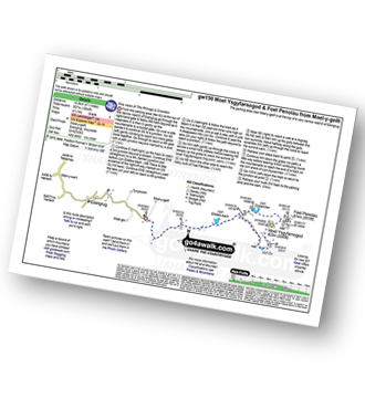
Walk gw150 Moel Ysgyfarnogod and Foel Penolau from Moel-y-geifr

Fine views of The Rhinogs and Snowdon

Download GPS Waypoint Data for walk gw150
Download GPX Waypoint Data for walk gw150
Download Map and Route Details for walk gw150

Vital Statistics:

Length:6.5 miles (10.5 km)
Ascent:1,664ft (507m)
Time:4.25hrs
Grade:Grade 5 Walking Moderate
Walk 2 Walking Bootprint Icon

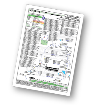
Walk gw159 Rhinog Fawr, Rhinog Fach, Y Llethr and Diffwys from Cwm Nantcol

Fantastic - but very long and with two big ascents

Download GPS Waypoint Data for walk gw159
Download GPX Waypoint Data for walk gw159
Download Map and Route Details for walk gw159

Vital Statistics:

Length:12 miles (19 km)
Ascent:4,723ft (1,439m)
Time:9.25hrs
Grade:Grade 8 Walking Hard
Walk 3 Walking Bootprint Icon

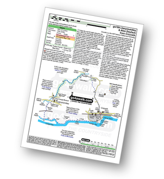
Walk gw184 Llanystumdwy and Afon Dwyfach from Criccieth

Pleasant coast and riverside stroll

Download GPS Waypoint Data for walk gw184
Download GPX Waypoint Data for walk gw184
Download Map and Route Details for walk gw184

Vital Statistics:

Length:6.25 miles (10 km)
Ascent:456ft (139m)
Time:2.75hrs
Grade:Grade 3 Walking Easy
Walk 4 Walking Bootprint Icon

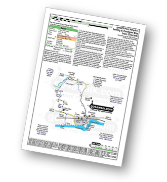
Walk gw229 Pont Rhyd-y-benllig and Cardigan Bay from Criccieth

Pleasant coast and riverside stroll

Download GPS Waypoint Data for walk gw229
Download GPX Waypoint Data for walk gw229
Download Map and Route Details for walk gw229

Vital Statistics:

Length:4.75 miles (7.5 km)
Ascent:417ft (127m)
Time:2.25hrs
Grade:Grade 2 Walking Easy
Walk 5 Walking Bootprint Icon

Walk gw273 Afon Dwyfach and Cardigan Bay from Llanystumdwy

Pleasant country walk

Download GPS Waypoint Data for walk gw273
Download GPX Waypoint Data for walk gw273
Download Map and Route Details for walk gw273

Vital Statistics:

Length:6 miles (9.5 km)
Ascent:335ft (102m)
Time:2½ hrs
Grade:Grade 2 Walking Easy
Walk 6 Walking Bootprint Icon

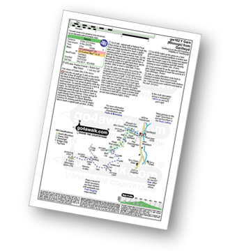
Walk gw162 Y Garn (Rhinogs) from Ganllwyd

Fine views of Cadair Idris and the Arans

Download GPS Waypoint Data for walk gw162
Download GPX Waypoint Data for walk gw162
Download Map and Route Details for walk gw162

Vital Statistics:

Length:5.5 miles (8.5 km)
Ascent:2,032ft (619m)
Time:4 hrs
Grade:Grade 5 Walking Moderate
Walk 7 Walking Bootprint Icon

Walk gw261 Rhosydd Quarry from Croseor

A walk into yesteryear.

Download GPS Waypoint Data for walk gw261
Download GPX Waypoint Data for walk gw261
Download Map and Route Details for walk gw261

Vital Statistics:

Length:5.5 miles (8.5 km)
Ascent:1,453ft (443m)
Time:3½ hrs
Grade:Grade 4 Walking Moderate
Walk 8 Walking Bootprint Icon

Walk gw131 Cnicht from Croesor

Cnicht offers almost a 360 degree panorama.

Download GPS Waypoint Data for walk gw131
Download GPX Waypoint Data for walk gw131
Download Map and Route Details for walk gw131

Vital Statistics:

Length:7.25 miles (11.5 km)
Ascent:2,273ft (693m)
Time:5 hrs
Grade:Grade 6 Walking Moderate
Walk 9 Walking Bootprint Icon

Walk gw173 Cnicht, Moel-yr-hydd, Moelwyn Mawr and Moelwyn Bach from Croesor

Superb views of sea and valley

Download GPS Waypoint Data for walk gw173
Download GPX Waypoint Data for walk gw173
Download Map and Route Details for walk gw173

Vital Statistics:

Length:10 miles (16 km)
Ascent:3,923ft (1,196m)
Time:7½ hrs
Grade:Grade 7 Walking Hard
Walk 10 Walking Bootprint Icon

Walk gw224 Cnicht, Hafod-yr-Hydd and Moelwyn Mawr from Croesor

Superb views of sea and valley.

Download GPS Waypoint Data for walk gw224
Download GPX Waypoint Data for walk gw224
Download Map and Route Details for walk gw224

Vital Statistics:

Length:9 miles (14.5 km)
Ascent:3,355ft (1,023m)
Time:6.75hrs
Grade:Grade 7 Walking Hard
Walk 11 Walking Bootprint Icon

Walk gw288 Moel-yr-hydd, Moelwyn Mawr and Moelwyn Bach from Croesor

Superb views and an interesting ruined quarry.

Download GPS Waypoint Data for walk gw288
Download GPX Waypoint Data for walk gw288
Download Map and Route Details for walk gw288

Vital Statistics:

Length:8.25 miles (13 km)
Ascent:3,037ft (926m)
Time:6 hrs
Grade:Grade 6 Walking Moderate
Walk 12 Walking Bootprint Icon

Walk gw144 Grib Ddu and Beddgelert from Nantmoor

Good views of Snowdon

Download GPS Waypoint Data for walk gw144
Download GPX Waypoint Data for walk gw144
Download Map and Route Details for walk gw144

Vital Statistics:

Length:6 miles (9.5 km)
Ascent:1,414ft (431m)
Time:3.75hrs
Grade:Grade 4 Walking Moderate
Walk 13 Walking Bootprint Icon

Walk gw190 The Arthog Waterfalls and Cregennen Lakes from Arthog

Fine waterfalls, serene lakes, great views

Download GPS Waypoint Data for walk gw190
Download GPX Waypoint Data for walk gw190
Download Map and Route Details for walk gw190

Vital Statistics:

Length:5 miles (8 km)
Ascent:1,375ft (419m)
Time:3.25hrs
Grade:Grade 4 Walking Moderate
Walk 14 Walking Bootprint Icon

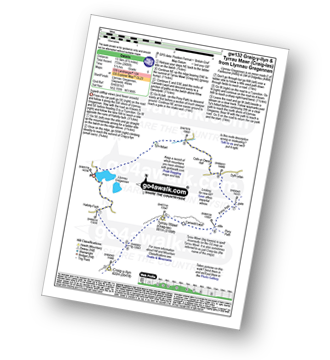
Walk gw132 Tyrrau Mawr (Craig-las) and Craig-y-llyn from Llynnau Cregennen

Fine cliff top views (and fewer crowds)

Download GPS Waypoint Data for walk gw132
Download GPX Waypoint Data for walk gw132
Download Map and Route Details for walk gw132

Vital Statistics:

Length:8.5 miles (13.5 km)
Ascent:2,406ft (733m)
Time:5½ hrs
Grade:Grade 6 Walking Moderate
Walk 15 Walking Bootprint Icon

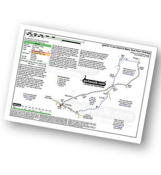
Walk gw210 Y Lon Goed and Maes Gwn from Chwilog

Easy country walking on an ancient pathway

Download GPS Waypoint Data for walk gw210
Download GPX Waypoint Data for walk gw210
Download Map and Route Details for walk gw210

Vital Statistics:

Length:7.25 miles (11.5 km)
Ascent:315ft (96m)
Time:3 hrs
Grade:Grade 2 Walking Easy
Walk 16 Walking Bootprint Icon

Walk gw181 Y Lon Goed from Chwilog

Easy country walking on an ancient pathway

Download GPS Waypoint Data for walk gw181
Download GPX Waypoint Data for walk gw181
Download Map and Route Details for walk gw181

Vital Statistics:

Length:4 miles (6.5 km)
Ascent:177ft (54m)
Time:1.75hrs
Grade:Grade 1 Walking Easy
Walk 17 Walking Bootprint Icon

Walk gw200 Moel-yr-hydd, Moelwyn Mawr and Moelwyn Bach from Tanygrisiau

A steep ascent to fine views of two valleys

Download GPS Waypoint Data for walk gw200
Download GPX Waypoint Data for walk gw200
Download Map and Route Details for walk gw200

Vital Statistics:

Length:6.20 miles (10.5 km)
Ascent:2,691ft (820m)
Time:5 hrs
Grade:Grade 6 Walking Moderate
Walk 18 Walking Bootprint Icon

Walk gw192 Moel Hebog from Beddgelert

Fine views of Snowdon and the Nantlle Ridge

Download GPS Waypoint Data for walk gw192
Download GPX Waypoint Data for walk gw192
Download Map and Route Details for walk gw192

Vital Statistics:

Length:7 miles (11.5 km)
Ascent:3,106ft (947m)
Time:5.75hrs
Grade:Grade 6 Walking Moderate
Walk 19 Walking Bootprint Icon

Walk gw205 The Precipice Walk and Llyn Cynwych from Coed y Groes

Short, level walk with superb views

Download GPS Waypoint Data for walk gw205
Download GPX Waypoint Data for walk gw205
Download Map and Route Details for walk gw205

Vital Statistics:

Length:3.5 miles (5.5 km)
Ascent:289ft (88m)
Time:1.75hrs
Grade:Grade 1 Walking Easy
Walk 20 Walking Bootprint Icon

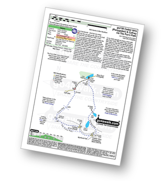
Walk gw156 Cadair Idris (Penygadair) via The Fox's Path

Truly spectacular - short but very steep way up Cadair Idris

Download GPS Waypoint Data for walk gw156
Download GPX Waypoint Data for walk gw156
Download Map and Route Details for walk gw156

Vital Statistics:

Length:6 miles (9.5 km)
Ascent:2,609ft (975m)
Time:5 hrs
Grade:Grade 6 Walking Moderate
Walk 21 Walking Bootprint Icon

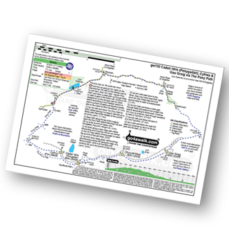
Walk gw152 Cadair Idris (Penygadair), Mynydd Moel, Cyfrwy and Gau Craig via The Pony Path

The busy way up Cadair Idris - the quiet way down

Download GPS Waypoint Data for walk gw152
Download GPX Waypoint Data for walk gw152
Download Map and Route Details for walk gw152

Vital Statistics:

Length:11.25 miles (18.5 km)
Ascent:3,558ft (1,084m)
Time:7.75hrs
Grade:Grade 7 Walking Hard
Walk 22 Walking Bootprint Icon

Walk gw128 Llyn y Cadair from Llyn Gwernan

Dramatic cliffs and a delightful tarn

Download GPS Waypoint Data for walk gw128
Download GPX Waypoint Data for walk gw128
Download Map and Route Details for walk gw128

Vital Statistics:

Length:4.5 miles (7 km)
Ascent:1,454ft (443m)
Time:4 hrs
Grade:Grade 3 Walking Easy
Walk 23 Walking Bootprint Icon

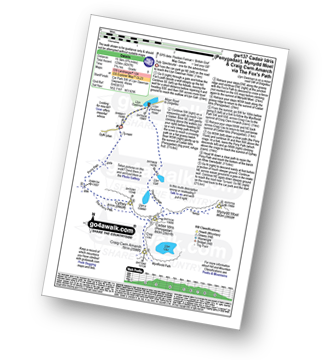
Walk gw137 Cadair Idris (Penygadair), Mynydd Moel, Craig Cwm Amarch and Cyfrwy via The Fox's Path

Truly spectacular - one for the adventurous

Download GPS Waypoint Data for walk gw137
Download GPX Waypoint Data for walk gw137
Download Map and Route Details for walk gw137

Vital Statistics:

Length:9.75 miles (15.5 km)
Ascent:4,247ft (1,294m)
Time:7.75hrs
Grade:Grade 8 Walking Hard
Walk 24 Walking Bootprint Icon

Walk gw170 Moel Penamnen and Manod Mawr from Blaenau Ffestiniog

Superb Views - but can be boggy in places

Download GPS Waypoint Data for walk gw170
Download GPX Waypoint Data for walk gw170
Download Map and Route Details for walk gw170

Vital Statistics:

Length:9.5 miles (15 km)
Ascent:2,914ft (888m)
Time:6½ hrs
Grade:Grade 7 Walking Hard
Walk 25 Walking Bootprint Icon

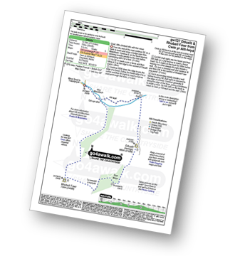
Walk gw127 Dduallt and Rhobell Fawr from Cwm yr Allt-lwyd

Quiet, little visited hills with fine views

Download GPS Waypoint Data for walk gw127
Download GPX Waypoint Data for walk gw127
Download Map and Route Details for walk gw127

Vital Statistics:

Length:8.5 miles (13.5 km)
Ascent:2,493ft (760m)
Time:5½ hrs
Grade:Grade 6 Walking Moderate
Walk 26 Walking Bootprint Icon

Walk gw163 Cnicht from Blaen Nanmor

A steep rocky scramble up the Welsh Matterhorn

Download GPS Waypoint Data for walk gw163
Download GPX Waypoint Data for walk gw163
Download Map and Route Details for walk gw163

Vital Statistics:

Length:6.75 miles (11 km)
Ascent:2,369ft (722m)
Time:5 hrs
Grade:Grade 6 Walking Hard
Walk 27 Walking Bootprint Icon

Walk gw105 Snowdon via The Watkin Path from Nantgwynant

Snowdon via The Watkin Path

Download GPS Waypoint Data for walk gw105
Download GPX Waypoint Data for walk gw105
Download Map and Route Details for walk gw105

Vital Statistics:

Length:7.75 miles (12.5 km)
Ascent:3,682ft (1,122m)
Time:6½ hrs
Grade:Grade 7 Walking Hard
Walk 28 Walking Bootprint Icon

Walk gw117 Snowdon and Yr Aran via The Watkin Path from Bathania, Nantgwynant

The longest but prettiest route up Snowdon

Download GPS Waypoint Data for walk gw117
Download GPX Waypoint Data for walk gw117
Download Map and Route Details for walk gw117

Vital Statistics:

Length:9.5 miles (14.5 km)
Ascent:4,517ft (1,377m)
Time:8 hrs
Grade:Grade 7 Walking Hard
Walk 29 Walking Bootprint Icon

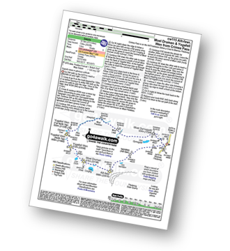
Walk cw115 Allt-fawr, Moel Druman and Ysgafell Wen from Crimea Pass (Bwlch y Gorddinan)

Superb views in glorious solitude

Download GPS Waypoint Data for walk cw115
Download GPX Waypoint Data for walk cw115
Download Map and Route Details for walk cw115

Vital Statistics:

Length:6.5 miles (10.5 km)
Ascent:2,422ft (738m)
Time:5 hrs
Grade:Grade 6 Walking Moderate
Walk 30 Walking Bootprint Icon

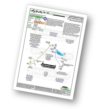
Walk gw270 Mynydd Graig Goch from Cors y Llyn

The direct route up the UK's 'newest' mountain

Download GPS Waypoint Data for walk gw270
Download GPX Waypoint Data for walk gw270
Download Map and Route Details for walk gw270

Vital Statistics:

Length:2.5 miles (4 km)
Ascent:1,221ft (372m)
Time:2.25hrs
Grade:Grade 3 Walking Easy


Follow go4awalk.com on Twitter Follow go4awalk.com on Facebook