|
Vital Statistics:
| Length: | 7mls (11.5km) |
| Ascent: | 3,106ft (947m) |
| Time: | 5¾hrs |
| Grade: |  |

Route outline for walk gw192:
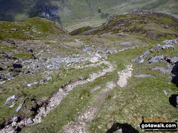
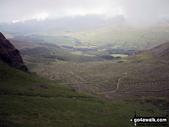
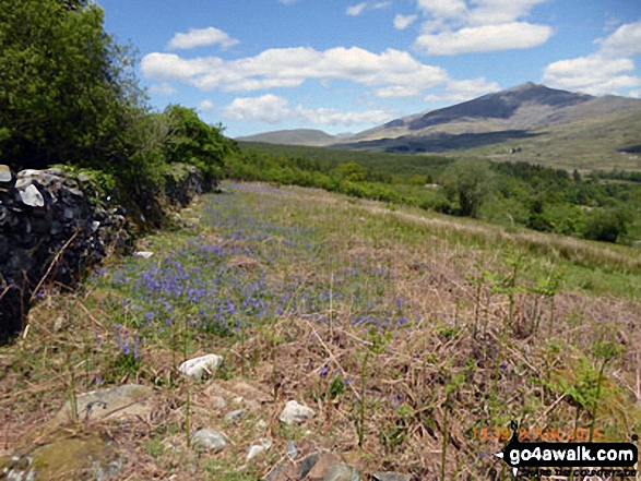
Beddgelert - Welsh Mountain Railway - Moel Hebog - Bwlch Meillionen - Moel yr Ogof - Moel Lefn - Bwlch Sais - Craig Cwm-trwsgl - Bwlch Cwm-trwsgl - Coed Mawr - Beddgelert Forest Campsite - Beddgelert
Points of Interest/Notes on this walk:
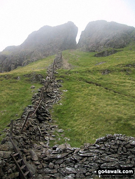
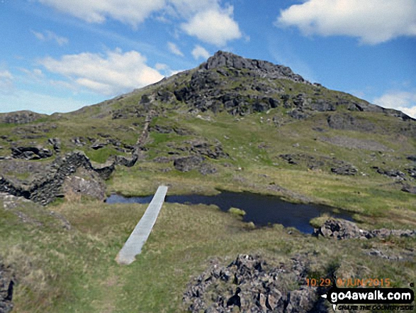
To visit the cave supposedly used by Owain Glyndwr when hiding from the English, go NE from above Bwlch Meillionen and contour round the mountainside for about 300m. The small cave is in the rockface on the other side of a gully. Go west to regain the ridge.
Peaks, Summits and Tops reached on this walk:
 3 Welsh Mountains |
 0 Wainwrights |
 3 Welsh Nuttalls |
 0 Welsh Deweys |
 0 Wainwright Outlying Fells |
 1 Welsh Marilyn |
 0 Bridgets |
Peak Bagging Statistics for this walk:
The highest point of this walk is Moel Hebog at 783m (2569ft). Moel Hebog is classified as a Welsh Mountain (Hewitt) (40th highest in Wales, 94th highest in England & Wales)
Moel Hebog is also known as a Welsh Nuttall (51st highest in Wales, 114th highest in England & Wales) and a Welsh Marilyn (17th highest in Wales, 425th highest in the UK).
Moel Hebog means 'Bare Hill of the Hawk' in Welsh and is pronounced 'moy-el-heb-og'.
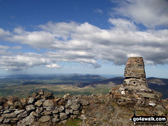
The summit of Moel Hebog is marked by an Ordnance Survey Trig Point.
Completing this walk will also take you to the top of Moel yr Ogof at 655m (2150ft). Moel yr Ogof is classified as a Welsh Mountain (Hewitt) (101st highest in Wales, 240th highest in England & Wales)
Moel yr Ogof is also known as a Welsh Nuttall (136th highest in Wales, 322nd highest in England & Wales). Moel yr Ogof means 'Bare Hill with a Cave' in Welsh and is pronounced 'moy-el-ur-og-ov'.
The summit of Moel yr Ogof is marked by a small cairn on rocky outcrop.
You will also reach the summit of Moel Lefn at 638m (2094ft). Moel Lefn is classified as a Welsh Mountain (Hewitt) (108th highest in Wales, 262nd highest in England & Wales)
Moel Lefn is also known as a Welsh Nuttall (149th highest in Wales, 351st highest in England & Wales). Moel Lefn means 'Smooth Bare Hill' in Welsh and is pronounced 'moy-el le-vn'.
The summit of Moel Lefn is marked by the most northern of two rocky outcrops.
You can find this walk and other nearby walks on these unique free-to-access Interactive Walk Planning Maps:
1:25,000 scale OS Explorer Map (orange/yellow covers):
1:50,000 scale OS Landranger Map (pink/magenta covers):
Some Photos and Pictures from Walk gw192 Moel Hebog from Beddgelert
In no particular order . . .
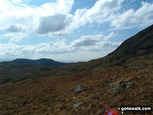


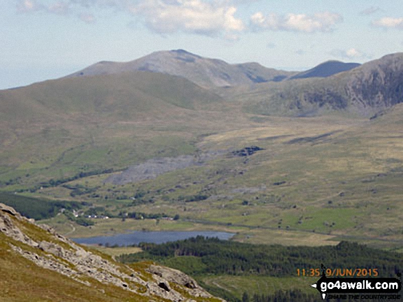
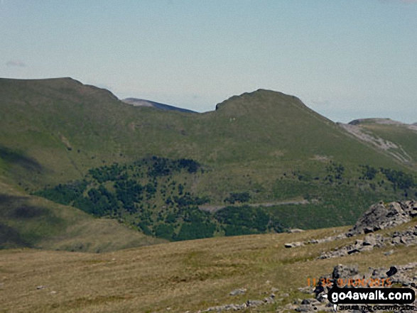
Snowdon (Yr Wyddfa) (left), Yr Aran and Carnedd Moel Siabod (right) from Bwlch Cwm-trwsgl
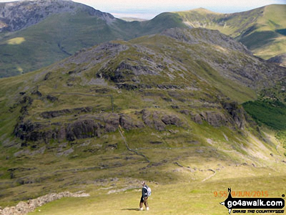
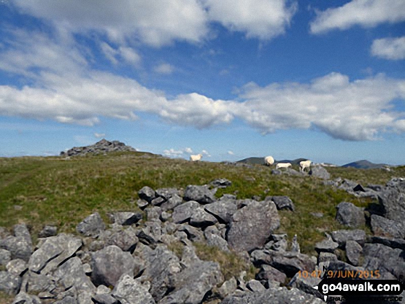
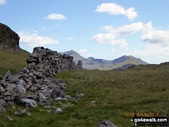
The Nantlle Ridge - Mynydd Tal-y-mignedd, Bwlch Dros-bern, Trum y Ddysgl and Mynydd Drws-y-coed from Moel Lefn
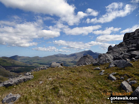

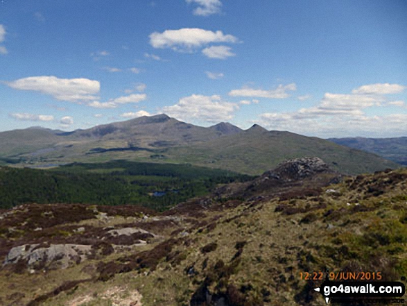
Snowdon (Yr Wyddfa) (left), Yr Aran and Carnedd Moel Siabod (right) from the summit of Moel Lefn

. . . load all 59 walk photos from Walk gw192 Moel Hebog from Beddgelert
Send us your photographs and pictures from your walks and hikes
We would love to see your photographs and pictures from walk gw192 Moel Hebog from Beddgelert. Send them in to us as email attachments (configured for any computer) along with your name and where the picture was taken to:
and we shall do our best to publish them.
(Guide Resolution = 300dpi. At least = 660 pixels (wide) x 440 pixels (high).)

You can also submit photos from walk gw192 Moel Hebog from Beddgelert via our Facebook Page.
NB. Please indicate where each photo was taken.