|
Vital Statistics:
| Length: | 6.20mls (10.5km) |
| Ascent: | 2,691ft (820m) |
| Time: | 5hrs |
| Grade: |  |

Route outline for walk gw200:
Tanygrisiau - Moel-yr-hydd - Rhosydd Quarry - Moelwyn Mawr (North Ridge Top) - Moelwyn Mawr - Craigysgafn - Bwlch Stwlan - Moelwyn Bach - Llyn Stwlan - Stwlan Dam - Tanygrisiau
Points of Interest/Notes on this walk:
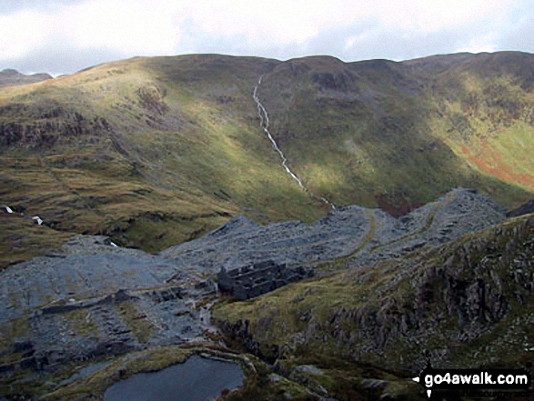
Rhosydd Quarry opened in 1840 and employed some 200 men. Since closing in 1930, the ruined buildings have become dangerous and unstable. Whilst a fascinating place to wander and imagine, best stay out of the buildings and tunnels.
Peaks, Summits and Tops reached on this walk:
 3 Welsh Mountains |
 0 Wainwrights |
 4 Welsh Nuttalls |
 0 Welsh Deweys |
 0 Wainwright Outlying Fells |
 1 Welsh Marilyn |
 0 Bridgets |
Peak Bagging Statistics for this walk:
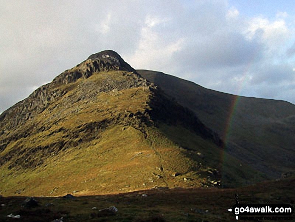
The highest point of this walk is Moelwyn Mawr at 770m (2527ft). Moelwyn Mawr is classified as a Welsh Mountain (Hewitt) (43rd highest in Wales, 103rd highest in England & Wales)
Moelwyn Mawr is also known as a Welsh Nuttall (54th highest in Wales, 127th highest in England & Wales) and a Welsh Marilyn (19th highest in Wales, 448th highest in the UK).
Moelwyn Mawr means 'Big White Bare Hill' in Welsh. The summit of Moelwyn Mawr is marked by an Ordnance Survey Trig Point.
Completing this walk will also take you to the top of Moelwyn Bach at 710m (2330ft). Moelwyn Bach is classified as a Welsh Mountain (Hewitt) (64th highest in Wales, 159th highest in England & Wales)
Moelwyn Bach is also known as a Welsh Nuttall (83rd highest in Wales, 201st highest in England & Wales). Moelwyn Bach means 'Small White Bare Hill' in Welsh. The summit of Moelwyn Bach is marked by a cairn.
You will also reach the summit of Craigysgafn at 689m (2263ft). Craigysgafn is also known as a Welsh Nuttall (94th highest in Wales, 238th highest in England & Wales). Craigysgafn means 'Pile of Rocks' in Welsh.
Along the way you will also bag:
- Moel-yr-hydd at 648m (2127ft). Moel-yr-hydd is classified as a Welsh Mountain (Hewitt) (105th Wales, 252nd Eng & Wal) and a Welsh Nuttall (142nd highest in Wales, 336th highest in England & Wales). Moel-yr-hydd means 'Bare Hill with Stag' in Welsh.
- Moelwyn Mawr (North Ridge Top) at 646m (2120ft). Moelwyn Mawr (North Ridge Top) means 'Big White Bare Hill' in Welsh.
You can find this walk and other nearby walks on these unique free-to-access Interactive Walk Planning Maps:
1:25,000 scale OS Explorer Map (orange/yellow covers):
1:50,000 scale OS Landranger Maps (pink/magenta covers):
Some Photos and Pictures from Walk gw200 Moel-yr-hydd, Moelwyn Mawr and Moelwyn Bach from Tanygrisiau
In no particular order . . .
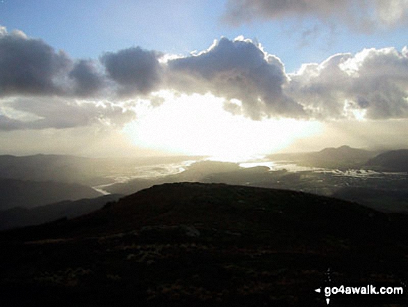


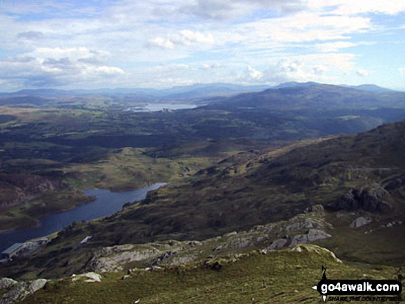
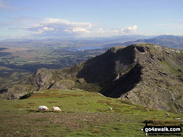
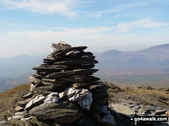
Tanygrisiau Reservoir (bottom left), Llyn Trawsfynydd and Moel Ysgyfarnogod (distance right) from the summit of Moel-yr-hydd
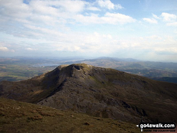
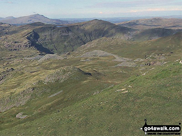
Cnicht (centre) and Cnicht (North Top) (right) from the lower slopes of Moelwyn Bach

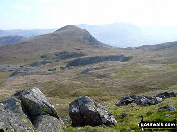


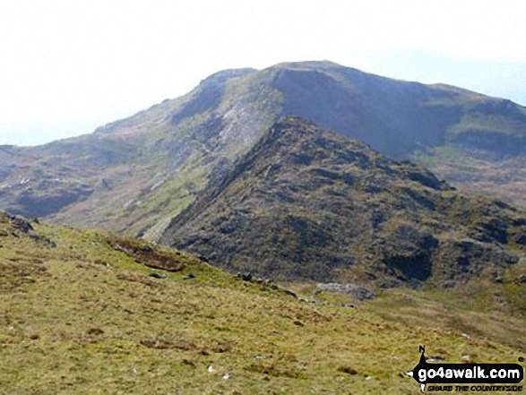
Croseor with The Moel Hebog mountains beyond from the summit of Craigysgafn

. . . load all 50 walk photos from Walk gw200 Moel-yr-hydd, Moelwyn Mawr and Moelwyn Bach from Tanygrisiau
Send us your photographs and pictures from your walks and hikes
We would love to see your photographs and pictures from walk gw200 Moel-yr-hydd, Moelwyn Mawr and Moelwyn Bach from Tanygrisiau. Send them in to us as email attachments (configured for any computer) along with your name and where the picture was taken to:
and we shall do our best to publish them.
(Guide Resolution = 300dpi. At least = 660 pixels (wide) x 440 pixels (high).)

You can also submit photos from walk gw200 Moel-yr-hydd, Moelwyn Mawr and Moelwyn Bach from Tanygrisiau via our Facebook Page.
NB. Please indicate where each photo was taken.