|
Vital Statistics:
| Length: | 7¼mls (11.5km) |
| Ascent: | 2,273ft (693m) |
| Time: | 5hrs |
| Grade: |  |

Route outline for walk gw131:
Croesor - Croesor Bach - Cnicht - The Welsh Matterhorn - Cnicht (North Top) - Llyn Yr Adar - Afon Cwm-y-foel - Llyn Cwm-corsiog - Clogwyn Birth - Rhosydd Quarry - Bwlch y Rhosydd - Croesor Quarry - Cwm Croesor - Croesor


Points of Interest/Notes on this walk:
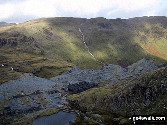
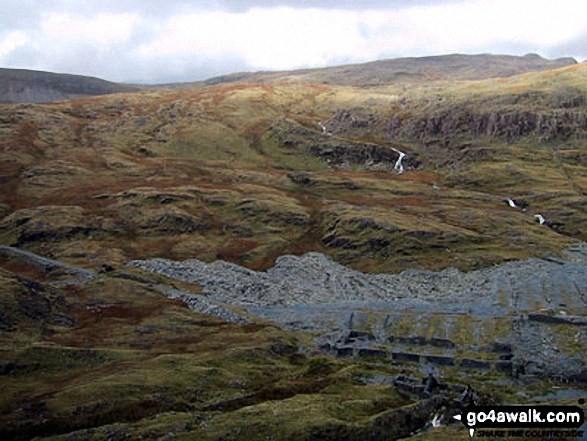
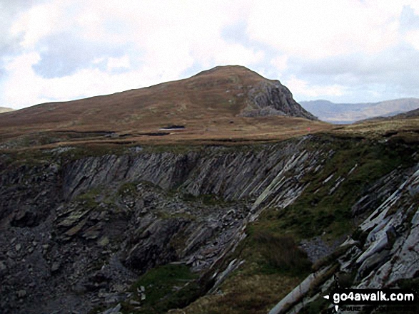
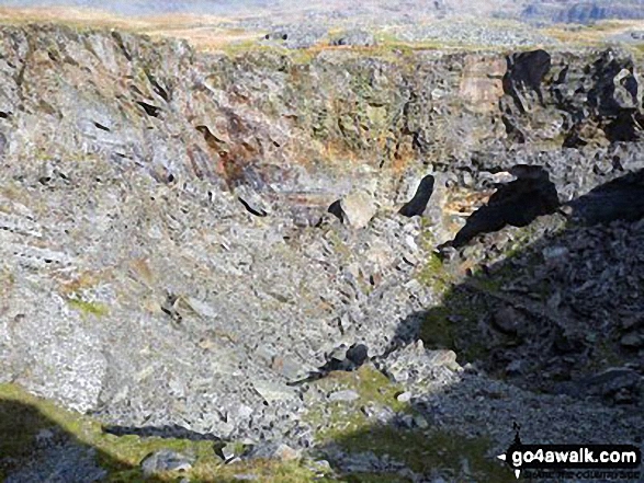
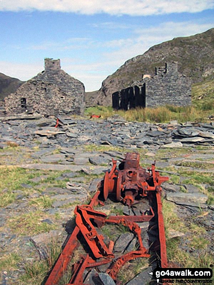
Rhosydd Quarry opened in 1840 and employed some 200 men. Since closing in 1930, the ruined buildings have become dangerous and unstable. Whilst a fascinating place to wander and imagine, best stay out of the buildings and tunnels.
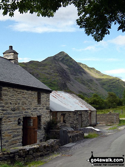
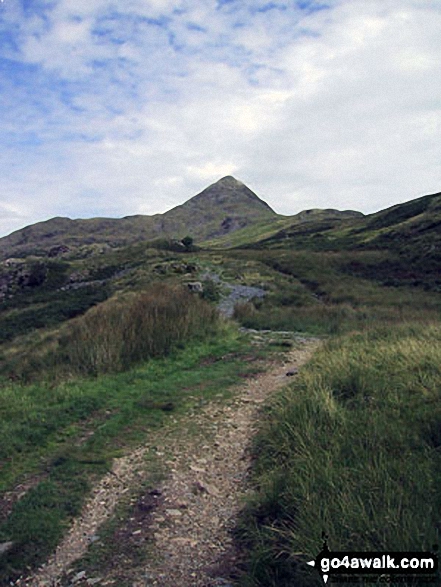
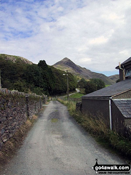
Cnicht is often referred to as the 'Welsh Matterhorn' due to its shape, particularly when viewed from Croesor. Cnicht means 'Knight' and is pronounced 'k-neecht'.
Peaks, Summits and Tops reached on this walk:
 1 Welsh Mountain |
 0 Wainwrights |
 2 Welsh Nuttalls |
 0 Welsh Deweys |
 0 Wainwright Outlying Fells |
 0 Welsh Marilyns |
 0 Bridgets |
Peak Bagging Statistics for this walk:
The highest point of this walk is Cnicht at 689m (2260ft). Cnicht is classified as a Welsh Mountain (Hewitt) (74th highest in Wales, 185th highest in England & Wales)
Cnicht is also known as a Welsh Nuttall (96th highest in Wales, 241st highest in England & Wales). The summit of Cnicht is marked by a rocky outcrop. Cnicht is often referred to as the Welsh Matterhorn. When viewed from the village of Croesor and the south-west, Cnicht appears to be a perfect pyramid shaped mountain that resembles the Matterhorn on the border between Italy and Switzerland.
Completing this walk will also take you to the top of Cnicht (North Top) at 688m (2257ft). Cnicht (North Top) is also known as a Welsh Nuttall (98th highest in Wales, 243rd highest in England & Wales).
You can find this walk and other nearby walks on these unique free-to-access Interactive Walk Planning Maps:
1:25,000 scale OS Explorer Maps (orange/yellow covers):
1:50,000 scale OS Landranger Maps (pink/magenta covers):
Some Photos and Pictures from Walk gw131 Cnicht from Croesor
In no particular order . . .

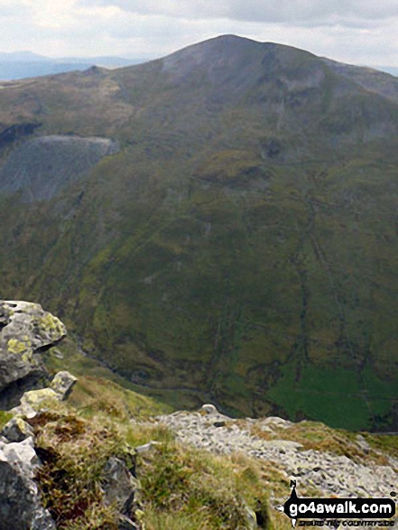


The Snowdon Range - Snowdon (Yr Wyddfa), Garnedd Ugain (Crib y Ddysgl) and Y Lliwedd - from Cnicht

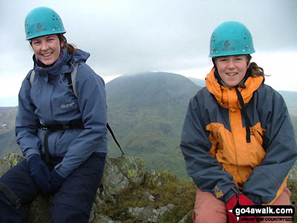

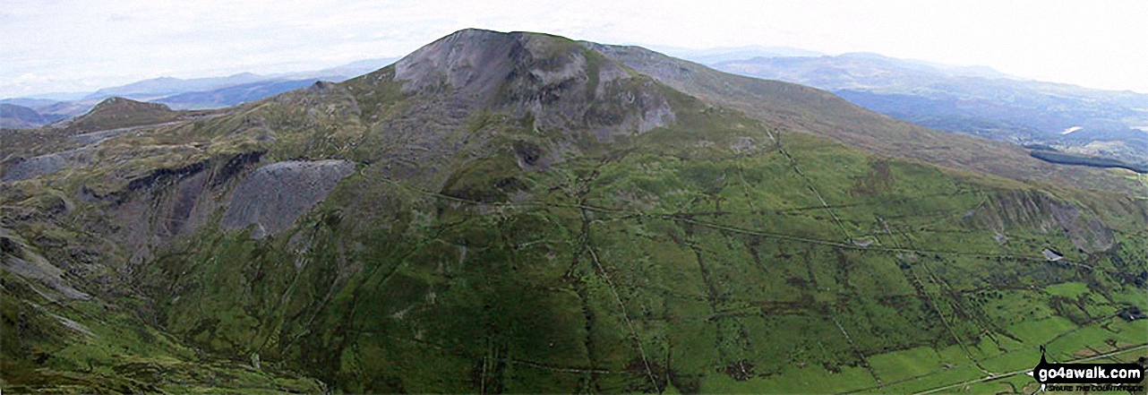
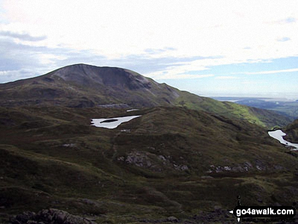
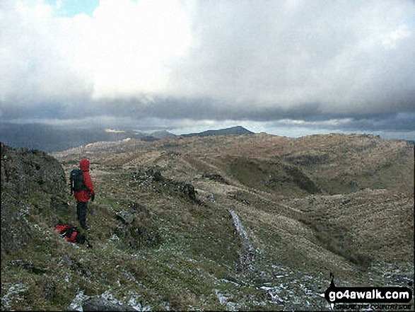
Moel-yr-hydd (left) and Moelwyn Mawr (centre) from the summit of Cnicht - the Welsh Matterhorn
. . . load all 47 walk photos from Walk gw131 Cnicht from Croesor
Send us your photographs and pictures from your walks and hikes
We would love to see your photographs and pictures from walk gw131 Cnicht from Croesor. Send them in to us as email attachments (configured for any computer) along with your name and where the picture was taken to:
and we shall do our best to publish them.
(Guide Resolution = 300dpi. At least = 660 pixels (wide) x 440 pixels (high).)

You can also submit photos from walk gw131 Cnicht from Croesor via our Facebook Page.
NB. Please indicate where each photo was taken.