UK Postcode LA22 - The 30 nearest easy-to-follow, circular walk route maps to you
The thirty nearest easy-to-follow, circular walk route maps to you in UK Postcode LA22 in Walk Grade Order
The UK cities, towns and villages in Cumbria, England that have LA22 in their UK Postcode include:
• Ambleside • Chapel Stile • Clappersgate • Elterwater • Grasmere • Grizedale • Hawkshead • High Wray • Near Sawrey • Outgate • Rydal • Skelwith Bridge • Waterhead •
Not familiar with the area around LA22?
See these 30 nearest walks to UK Postcode LA22 on a google map

   |
Vital Statistics:
| Length: | 12.25 miles (19.5 km) |
| Ascent: | 3,984ft (1,214m) |
| Time: | 8½ hrs |
| Grade: |  |

Route Summary:
Ambleside - Rydal - Nab Scar - Heron Pike - Rydal Fell (Heron Pike North Top) - Greenhead Gill Head - Stone Arthur - Great Rigg - Fairfield - Rydal Head - Hart Crag - Dove Crag - High Pike (Scandale) - Low Pike (Scandale) - High Sweden Bridge - High Sweden Coppice - Ambleside


|
Vital Statistics:
| Length: | 3.25 miles (5 km) |
| Ascent: | 1,428ft (435m) |
| Time: | 2½ hrs |
| Grade: |  |


|
Vital Statistics:
| Length: | 12.5 miles (20 km) |
| Ascent: | 3,411ft (1,040m) |
| Time: | 8 hrs |
| Grade: | |

Route Summary:
Ambleside - Rydal - Nab Scar - Heron Pike - Rydal Fell (Heron Pike North Top) - Great Rigg - Fairfield - Rydal Head - Hart Crag - Dove Crag - Little Hart Crag - Scandale Pass - Red Screes - Snarker Pike - Ambleside

|
Vital Statistics:
| Length: | 8.75 miles (14 km) |
| Ascent: | 558ft (170m) |
| Time: | 3½ hrs |
| Grade: | |
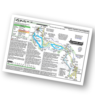
Route Summary:
Ambleside - Scandale Beck - Rydal Park - Rydal Hall - Rydal - Rydal Mount - Rydal Water - Coffin Route - Dove Cottage - Grasmere Village - Silverhowe - The Lea - Grasmere - Red Bank - Rydal Cave - Jobson Close - Rough Intake - Pelter Bridge - Foxghyll - River Rothay - Rothay Park - Ambleside

|
Vital Statistics:
| Length: | 11 miles (17.5 km) |
| Ascent: | 3,633ft (1,107m) |
| Time: | 7.75hrs |
| Grade: |  |

Route Summary:
Ambleside - Rydal - Nab Scar - Heron Pike - Rydal Fell (Heron Pike North Top) - Great Rigg - Fairfield - Rydal Head - Hart Crag - Dove Crag - High Pike (Scandale) - Low Pike (Scandale) - High Sweden Bridge - High Sweden Coppice - Ambleside

|
Vital Statistics:
| Length: | 9.75 miles (15.5 km) |
| Ascent: | 3,551ft (1,082m) |
| Time: | 7.25hrs |
| Grade: | |

Route Summary:
Ambleside - Snarker Pike - Red Screes - Scandale Pass - Little Hart Crag - Dove Crag - High Pike (Scandale) - Low Pike (Scandale) - High Sweden Bridge - Ambleside

|
Vital Statistics:
| Length: | 5 miles (8 km) |
| Ascent: | 1,769ft (539m) |
| Time: | 3.75hrs |
| Grade: |  |

Route Summary:
Ambleside - Stockghyll Force - Wansfell Pike - Baystones (Wansfell) - Wansfell Pike - Stockghyll Force - Ambleside

|
Vital Statistics:
| Length: | 6 miles (9.5 km) |
| Ascent: | 1,401ft (427m) |
| Time: | 3½ hrs |
| Grade: | |

Route Summary:
Ambleside - Rothay Park - Ivy Fell - Loughrigg Fell - Loughrigg Terrace - Rydal Water - Loughrigg Caves - River Rothay - Pelter Bridge - Ambleside

|
Vital Statistics:
| Length: | 6 miles (9.5 km) |
| Ascent: | 2,192ft (668m) |
| Time: | 5 hrs |
| Grade: |  |
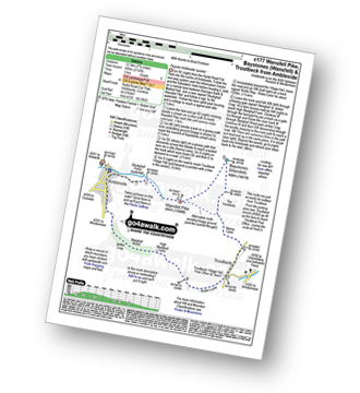
Route Summary:
Ambleside - Stockghyll Force - Wansfell Pike - Baystones (Wansfell) - The Hundreds - Nanny Lane - Troutbeck - Robin Lane - High Skelghyll Farm - Skelghyll Wood - Jenkin Crag - Ambleside

|
Vital Statistics:
| Length: | 7.5 miles (12 km) |
| Ascent: | 2,519ft (768m) |
| Time: | 5.25hrs |
| Grade: |  |
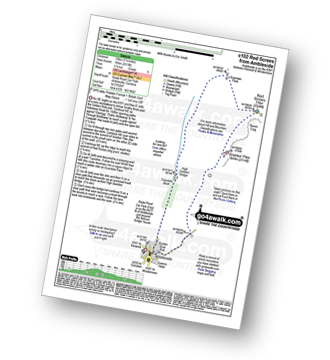
Route Summary:
Ambleside - Snarker Pike - Red Screes - Scandale Pass - High Sweden Bridge - Ambleside

|
Vital Statistics:
| Length: | 5.5 miles (9 km) |
| Ascent: | 893ft (272m) |
| Time: | 3 hrs |
| Grade: | |
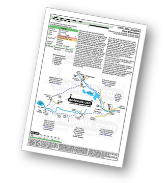
Route Summary:
Elterwater - The Cumbria Way - Elter Water - Skelwith Force - River Brathay - Skelwith Bridge - Low Park - High Park - High Colwith - Colwith Force - Stang End - Little Langdale - Slater Bridge - Little Langdale Tarn - Dale End - Elterwater

|
Vital Statistics:
| Length: | 8.5 miles (13.5 km) |
| Ascent: | 1,447ft (441m) |
| Time: | 4½ hrs |
| Grade: | |

Route Summary:
Elterwater - Elterwater Bridge - Little Langdale - Little Langdale Tarn - Bridge End - Fell Foot Bridge - Castle Howe - Blea Tarn (Langdale) - Great Langdale - Oak Howe - Chapel Stile - Elterwater

|
Vital Statistics:
| Length: | 5.25 miles (8.5 km) |
| Ascent: | 1,099ft (335m) |
| Time: | 3 hrs |
| Grade: | |

Route Summary:
Elterwater - Walthwaite Common - Huntingstile Crag - Red Bank Wood - Loughrigg Terrace - Loughrigg Fell - Ivy Crag - Loughrigg Tarn - Tarn Foot - Skelwith Bridge - River Brathay - Skelwith Force - The Cumbria Way - Elter Water - Elterwater

|
Vital Statistics:
| Length: | 7 miles (11 km) |
| Ascent: | 1,976ft (602m) |
| Time: | 4½ hrs |
| Grade: | |

Route Summary:
Elterwater - Elterwater Bridge - Dale End - Lingmoor Fell - Fat Man's Agony (or Fat Man's Struggle) - Side Pike - Great Langdale - Side House Farm - The Cumbria Way - Oak Howe - Chapel Stile - Elterwater Bridge - Elterwater

|
Vital Statistics:
| Length: | 5.5 miles (8.5 km) |
| Ascent: | 1,582ft (482m) |
| Time: | 3.75hrs |
| Grade: | |
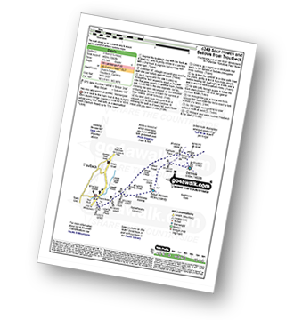
Route Summary:
Troutbeck Bridge - Garburn Road - Backstone Barrow - Sour Howes - Sallows - Garburn Pass - Troutbeck - Troutbeck Bridge
Not familiar with the area around LA22?
See these 30 nearest walks to UK Postcode LA22 on a google map

|
Vital Statistics:
| Length: | 11 miles (17.5 km) |
| Ascent: | 3,410ft (1,039m) |
| Time: | 7½ hrs |
| Grade: | |

Route Summary:
Troutbeck Bridge - Garburn Road - Backstone Barrow - Sour Howes - Sallows - Garburn Pass - Yoke - Ill Bell - Froswick - Wanfer Crag - Hagg Gill - Trout Beck - Troutbeck Tongue - Lowther Brow - Long Green Head - Limefitt Campsite - Troutbeck - Troutbeck Bridge

|
Vital Statistics:
| Length: | 8.25 miles (13 km) |
| Ascent: | 1,421ft (433m) |
| Time: | 4½ hrs |
| Grade: | |

Route Summary:
Troutbeck Bridge - Troutbeck - Limefitt Holiday Park - Long Green Head - Ing Bridge - Troutbeck Park - Park Fell Head - Trout Beck - Troutbeck Tongue - Hagg Gill - Lowther Brow - Long Green Head - Limefitt Holiday Park - Troutbeck - Troutbeck Bridge

|
Vital Statistics:
| Length: | 12.25 miles (19.5 km) |
| Ascent: | 4,194ft (1,278m) |
| Time: | 8.75hrs |
| Grade: | |
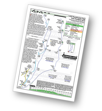
Route Summary:
Troutbeck Bridge - Garburn Pass - Yoke - Ill Bell - Froswick - Thornthwaite Crag - Stony Cove Pike (Caudale Moor) - Doup Crag - Trout Beck - Troutbeck Tongue - Hagg Gill - Lowther Brow - Long Green Head - Limefitt Campsite - Troutbeck - Troutbeck Bridge

|
Vital Statistics:
| Length: | 8.5 miles (13.5 km) |
| Ascent: | 2,435ft (742m) |
| Time: | 5½ hrs |
| Grade: | |

Route Summary:
Grasmere - Goody Bridge - Ghyll Foot Farm - Green Burn - Greenburn Bottom - Contra Breast - Dead Pike - Steel Fell (Dead Pike) - Brownrigg Moss - Calf Crag - Gibson Knott - Helm Crag - The Lion and The Lamb - The Howitzer - High Raven Crag - Grasmere

|
Vital Statistics:
| Length: | 13.75 miles (22 km) |
| Ascent: | 3,991ft (1,216m) |
| Time: | 9 hrs |
| Grade: | |

Route Summary:
Grasmere - Allan Bank - Wray Gill - Silver How - Lang How - Sinescar Pike - Little Castle How - Great Castle How - Blea Rigg - Sergeant Man - Thunacar Knott - Pavey Ark - Harrison Stickle - Loft Crag - Pike of Stickle (Pike O' Stickle) - High Raise (Langdale) - Codale Head - Tarn Crag (Easedale) - Far Easedale Gill - Sourmilk Falls - Far Easedale Beck - Goody Bridge - Grasmere

|
Vital Statistics:
| Length: | 4.5 miles (7.5 km) |
| Ascent: | 1,296ft (395m) |
| Time: | 3 hrs |
| Grade: | |
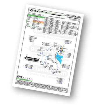

|
Vital Statistics:
| Length: | 3.75 miles (6 km) |
| Ascent: | 1,201ft (366m) |
| Time: | 3 hrs |
| Grade: | |

Route Summary:
Grasmere - Goody Bridge - Wainwright's Coast to Coast Walk - Easedale House - High Raven Crag - Helm Crag - The Lion and The Lamb - The Howitzer - Goody Bridge - Grasmere

|
Vital Statistics:
| Length: | 6.25 miles (10 km) |
| Ascent: | 1,172ft (357m) |
| Time: | 3½ hrs |
| Grade: | |
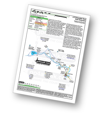
Route Summary:
Grasmere - Goody Bridge - Easedale Beck - Sourmilk Gill - Brinhowe Crag - Easedale - Sourmilk Falls - Easedale Tarn - Far Easedale Gill - Stythwaite Steps - Grasmere

|
Vital Statistics:
| Length: | 10 miles (16 km) |
| Ascent: | 2,936ft (895m) |
| Time: | 6½ hrs |
| Grade: | |
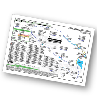
Route Summary:
Grasmere - Sour Milk Gill - Sourmilk Gill Falls - Tarn Crag (Easedale) - Sergeant Man - Blea Rigg - Great Castle How - Little Castle How - Raw Pike - Swinescar Pike - Lang How - Silver How - Spedding Crag - Dow Bank - Huntingstile Crag - Grasmere

|
Vital Statistics:
| Length: | 9.5 miles (15 km) |
| Ascent: | 3,682ft (1,122m) |
| Time: | 7.25hrs |
| Grade: | |

Route Summary:
Grasmere - Mill Bridge - Little Tongue - Seat Sandal - Grisedale Tarn - Fairfield - Rydal Head - Great Rigg - Rydal Fell (Heron Pike North Top) - Heron Pike - Alcock Tarn - Grasmere

|
Vital Statistics:
| Length: | 7.5 miles (12 km) |
| Ascent: | 3,116ft (950m) |
| Time: | 6 hrs |
| Grade: | |

Route Summary:
Grasmere - Wainwright's Coast to Coast Walk - Mill Bridge - Little Tongue - Seat Sandal - Grisedale Tarn - Fairfield - Rydal Head - Great Rigg - Stone Arthur - Grasmere

|
Vital Statistics:
| Length: | 8.75 miles (14 km) |
| Ascent: | 2,212ft (674m) |
| Time: | 5½ hrs |
| Grade: | |

Route Summary:
Grasmere - Goody Bridge - High Raven Crag - Helm Crag - The Lion and The Lamb - The Howitzer - Gibson Knott - Calf Crag - Wainwright's Coast to Coast Walk - Brownrigg Moss - Moor Moss - Far Easdale Gill - Goody Bridge - Grasmere

|
Vital Statistics:
| Length: | 10.25 miles (16.5 km) |
| Ascent: | 3,128ft (953m) |
| Time: | 6.75hrs |
| Grade: | |

Route Summary:
Grasmere - Goody Bridge - High Raven Crag - Helm Crag - The Lion and The Lamb - The Howitzer - Gibson Knott - Calf Crag - Brownrigg Moss - Greenup Edge - High Raise (Langdale) - Sergeant Man - Belles Knott - Coledale Tarn - Easedale Tarn - Sour Milk Gill - Easedale - Grasmere

|
Vital Statistics:
| Length: | 8.5 miles (13.5 km) |
| Ascent: | 2,402ft (732m) |
| Time: | 5½ hrs |
| Grade: | |
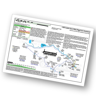
Route Summary:
Grasmere - Castle How - Blea Rigg - Easedale Tarn - Sour Milk Gill - Easedale - Goody Bridge - Grasmere

|
Vital Statistics:
| Length: | 7 miles (11 km) |
| Ascent: | 2,661ft (811m) |
| Time: | 5.25hrs |
| Grade: | |

Route Summary:
Grasmere - River Rothay - Grasmere (A591) - Stone Arthur - Great Rigg - Rydal Fell (Heron Pike North Top) - Heron Pike - Butter Crag - Alcock Tarn - Brackenfell - Dove Cottage - Grasmere (A591) - Grasmere
Not familiar with the area around LA22?
See these 30 nearest walks to UK Postcode LA22 on a google map