   |
Vital Statistics:
| Length: | 6mls (9.5km) |
| Ascent: | 1,401ft (427m) |
| Time: | 3½hrs |
| Grade: |  |
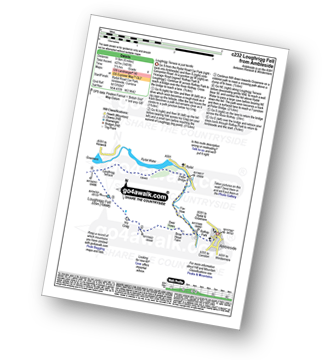
Route outline for walk c232:
Ambleside - Rothay Park - Ivy Fell - Loughrigg Fell - Loughrigg Terrace - Rydal Water - Loughrigg Caves - River Rothay - Pelter Bridge - Ambleside


Peaks, Summits and Tops reached on this walk:
 0 English Mountains |
 1 Wainwright |
 0 English Nuttalls |
 0 English Deweys |
 0 Wainwright Outlying Fells |
 1 Marilyn |
 0 Bridgets |
Peak Bagging Statistics for this walk:
The highest point of this walk is Loughrigg Fell at 335m (1099ft). Loughrigg Fell is classified as an Wainwright (No. 211).
Loughrigg Fell is also known as English Marilyn (113th highest in England, 1320th highest in the UK). The summit of Loughrigg Fell is marked by an Ordnance Survey Trig Point.
You can find this walk and other nearby walks on these unique free-to-access Interactive Walk Planning Maps:
1:25,000 scale OS Explorer Map (orange/yellow covers):
1:50,000 scale OS Landranger Map (pink/magenta covers):
Some Photos and Pictures from Walk c232 Loughrigg Fell from Ambleside
In no particular order . . .
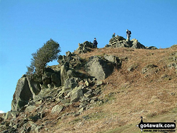
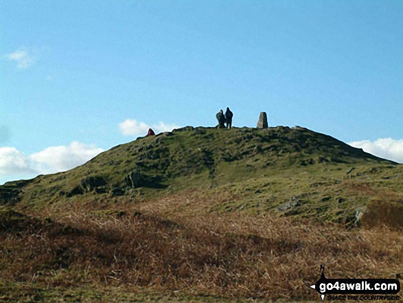
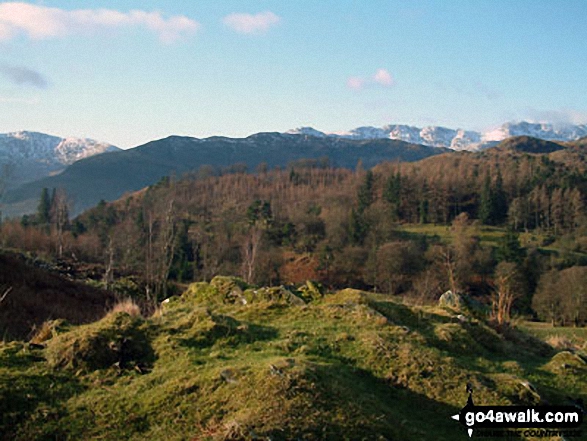
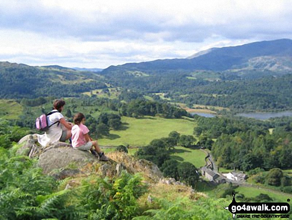
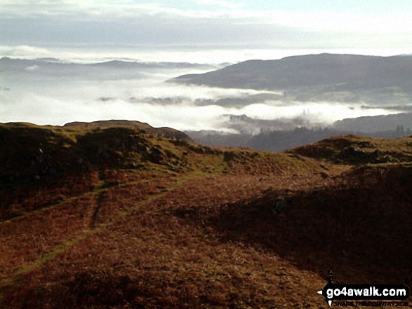
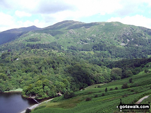
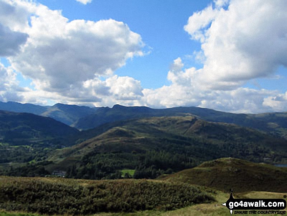
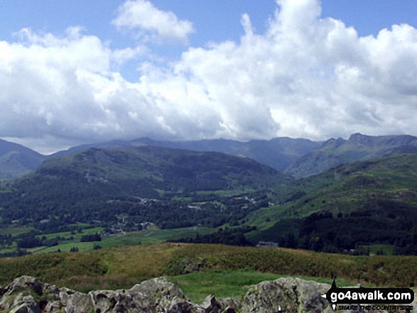
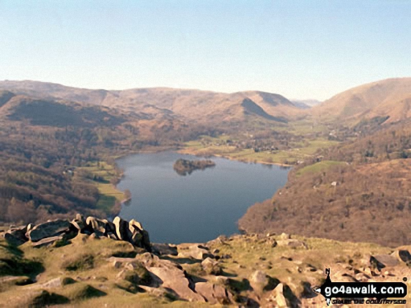
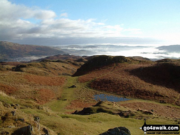
On the summit of Loughrigg Fell, looking towards Elterwater with the Langdale Pikes to the right
. . . load all 43 walk photos from Walk c232 Loughrigg Fell from Ambleside
Send us your photographs and pictures from your walks and hikes
We would love to see your photographs and pictures from walk c232 Loughrigg Fell from Ambleside. Send them in to us as email attachments (configured for any computer) along with your name and where the picture was taken to:
and we shall do our best to publish them.
(Guide Resolution = 300dpi. At least = 660 pixels (wide) x 440 pixels (high).)

You can also submit photos from walk c232 Loughrigg Fell from Ambleside via our Facebook Page.
NB. Please indicate where each photo was taken.