UK Postcode LA16 - The 30 nearest easy-to-follow, circular walk route maps to you
The thirty nearest easy-to-follow, circular walk route maps to you in UK Postcode LA16 in Walk Grade Order
The UK cities, towns and villages in Cumbria, England that have LA16 in their UK Postcode include:
• Askam in Furness • Ireleth •
Not familiar with the area around LA16?
See these 30 nearest walks to UK Postcode LA16 on a google map

   |
Vital Statistics:
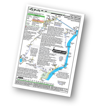
| Length: | 11 miles (17.5 km) |
| Ascent: | 804ft (245m) |
| Time: | 4.75hrs |
| Grade: |  |
Route Summary:
Ulverston - Ulverston Canal - Canal Foot - The Cumbria Coastal Way - Hammerside Point - Salt Cotes - Sandhall - Beach Wood - Morecambe Bay - Conishead Bank - Wadhead Scar - Bardsea - Ulverston Sands - Sea Wood - Birkrigg Stone Circle - Birkrigg Common - Great Unswick - Urswick Tarn - The Cistercian Way - Croftlands - Swarthmoor Hall - Kilner Park - Levy Beck - Ulverston


|
Vital Statistics:
| Length: | 8.5 miles (13.5 km) |
| Ascent: | 2,645ft (806m) |
| Time: | 5.75hrs |
| Grade: |  |

Route Summary:
Silecroft - Whicham Church - Kirkbank Farm - Townend Knotts - Black Combe - Blackcombe Screes - Whitcombe Screes - Stoupdale Head - White Combe - White Hall Knott - Whitecombe Beck - Parsonage Breast - Kirkbank Farm - Whicham Church.

|
Vital Statistics:
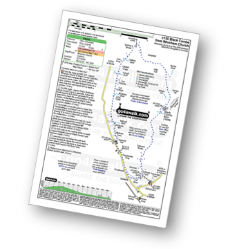
| Length: | 8.75 miles (14 km) |
| Ascent: | 2,307ft (703m) |
| Time: | 5½ hrs |
| Grade: | |
Route Summary:
Silecroft - Whicham Church - Kirkbank Farm - Townend Knotts - Black Combe - Blackcombe Screes - William Gill - Hentoe Hill - Butcher's Breast - Littlefell Crags - Tarn Dimples - Whitbeck Mill - Townend Hall - Whitebeck - Throstlerake Crag Fell Brow - Whicham Church - Silecroft

|
Vital Statistics:
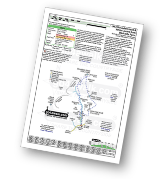
| Length: | 4.5 miles (7 km) |
| Ascent: | 1,559ft (475m) |
| Time: | 3.25hrs |
| Grade: | |
Route Summary:
Beckside Farm - Whitecombe Beck - Whitcombe Screes - Stoupdale Head - White Combe - White Hall Knott - Whitecombe Beck - Beckside Farm

|
Vital Statistics:
| Length: | 5.5 miles (9 km) |
| Ascent: | 1,962ft (598m) |
| Time: | 4 hrs |
| Grade: |  |

Route Summary:
Broughton Mills - River Lickle - Green Bank Farm - The Nursery - Hovel Knott - Dunnerdale Fell (Broughton Mills) - Great Stickle (Dunnerdale Fells) - Stickle Pike (Dunnerdale Fells) - Kiln Bank Cross - Park Head Road - Stainton Ground Quarry - Stephenson Haw - Raven's Crag (Stickle Pike) - The Knott (Dunnerdale Fells) - Broughton Mills

|
Vital Statistics:
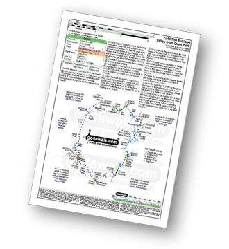
| Length: | 6 miles (9.5 km) |
| Ascent: | 699ft (213m) |
| Time: | 2.75hrs |
| Grade: |  |
Route Summary:
Oxen Park - Furness - Abbot Park - Lord Ling - The Riggs - High Ickenthwaite - Low Ickenthwaite - Big Plantation - Glass Knott - The Syke - Rusland Cross - Rusland Hall - Rusland Moss Nature Reserve - Hulleter Moss - Low Hay Bridge Nature Reserve - Crooks Pastures - Black Knotts Plantation - Moss Wood - Oxen Park

|
Vital Statistics:
| Length: | 4.75 miles (7.5 km) |
| Ascent: | 945ft (288m) |
| Time: | 2.75hrs |
| Grade: | |
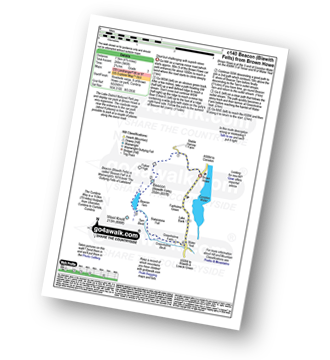
Route Summary:
Brown Howe Car Park - Coniston Water - Beacon (Blawith Fells) - Beacon Tarn - Tarn Beck - Slaterstone Fell - Greenholme Farm - Water Yeat - Lake Bank - Fairholme Green - Brown Howe - Coniston Water.

|
Vital Statistics:
| Length: | 6.25 miles (10 km) |
| Ascent: | 1,382ft (421m) |
| Time: | 4 hrs |
| Grade: | |
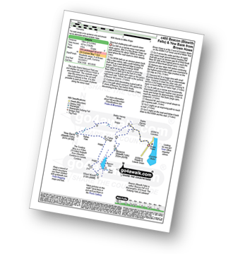
Route Summary:
Brown Howe Car Park - Coniston Water - Beacon (Blawith Fells) - Beacon Tarn - Tarn Beck - The Cumbria Way - Wool Knott - Fisher High - Rattan Haw - Yew Bank (Blawith Fells) - Stable Harvey Moss - Brown Howe - Coniston Water.

|
Vital Statistics:
| Length: | 3.75 miles (6 km) |
| Ascent: | 309ft (94m) |
| Time: | 1.75hrs |
| Grade: |  |
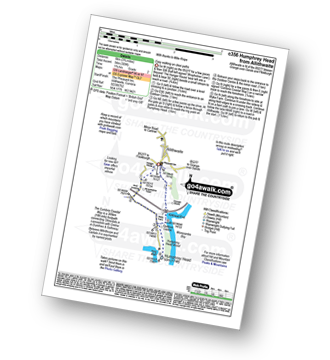
Route Summary:
Allithwaite - Wraysholme Tower - The Cumbria Coastal Way - Humphrey Head - Humphrey Head Wood - Wyke Farm - Kirkhead End - Allithwaite

|
Vital Statistics:
| Length: | 10.25 miles (16.5 km) |
| Ascent: | 1,375ft (419m) |
| Time: | 5.25hrs |
| Grade: | |
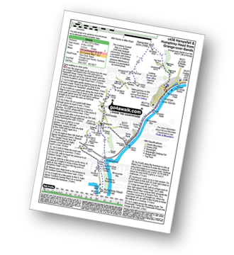
Route Summary:
Grange-over-Sands - Eggerslack Wood - Hampsfell - Fell End - High Fell Gate Farm - Allithwaite - Wraysholme Tower - The Cumbria Coastal Way - Humphrey Head - Humphrey Head Wood - Wyke Farm - Kirkhead End - Allithwaite - Kents Bank - Morecambe Bay - Grange-over-Sands

|
Vital Statistics:
| Length: | 6.5 miles (10.5 km) |
| Ascent: | 1,076ft (328m) |
| Time: | 3.75hrs |
| Grade: | |
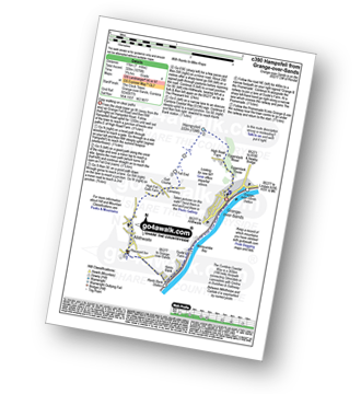
Route Summary:
Grange-over-Sands - Eggerslack Wood - Hampsfell - Fell End - High Fell Gate Farm - Allithwaite - The Cumbria Coastal Way - Kents Bank - Morecambe Bay - Grange-over-Sands

|
Vital Statistics:
| Length: | 5.5 miles (9 km) |
| Ascent: | 1,706ft (520m) |
| Time: | 3.75hrs |
| Grade: | |
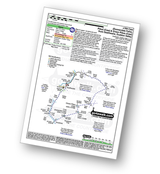
Route Summary:
Seathwaite (Duddon Valley) - Newfield Wood - Dobby Shaw - New Close - How Scale Haw - Old Park Beck - Broadslack - Caw (Dunnerdale Fells) - Pikes (Caw) - Green Pikes (Caw) - Dawson Pike - Walna Scar Road - Broad Haws - Hollin House Haw - Tarn Beck - Seathwaite (Duddon Valley)

|
Vital Statistics:
| Length: | 7 miles (11 km) |
| Ascent: | 2,422ft (738m) |
| Time: | 5 hrs |
| Grade: | |
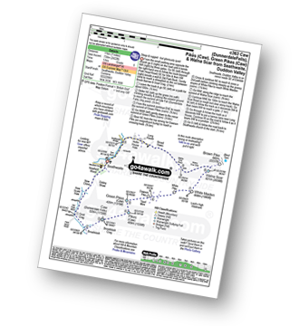
Route Summary:
Seathwaite (Duddon Valley) - Newfield Wood - Dobby Shaw - New Close - How Scale Haw - Old Park Beck - Broadslack - Caw (Dunnerdale Fells) - Pikes (Caw) - Green Pikes (Caw) - Dawson Pike - White Pike - White Maiden - Walna Scar - Walna Scar Road - Broad Haws - Hollin House Haw - Tarn Beck - Seathwaite (Duddon Valley)

|
Vital Statistics:
| Length: | 6.5 miles (10.5 km) |
| Ascent: | 1,453ft (443m) |
| Time: | 4 hrs |
| Grade: | |

Route Summary:
Seathwaite (Duddon Valley) - Hollin House Haw - Tarn Beck - Worm How - Trountal Tongue - Throng Close - Foss How - Brow Side - Pike How - Birks Bridge - Birks Farm Field Centre - Dunnerdale Forest - Grassguards Farm - Basin Barrow - Rowantree How - Wallowbarrow Crag - Wallowbarrow Farm - Seathwaite (Duddon Valley)

|
Vital Statistics:
| Length: | 9.5 miles (15 km) |
| Ascent: | 3,523ft (1,074m) |
| Time: | 7 hrs |
| Grade: |  |

Route Summary:
Walna Scar Road (nr Seathwaite (Duddon Valley) - Long Houses - Brown Pike - Dow Crag - Goat's Hawse - The Old Man of Coniston - Brim Fell - Levers Hawse - Swirl Band - Swirl How - Great Carrs - Grey Friar - Seathwaite Tarn - Walna Scar Road.
Not familiar with the area around LA16?
See these 30 nearest walks to UK Postcode LA16 on a google map

|
Vital Statistics:
| Length: | 10.25 miles (16.5 km) |
| Ascent: | 2,198ft (670m) |
| Time: | 6 hrs |
| Grade: | |
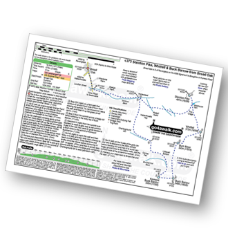
Route Summary:
Broad Oak - Whitrow Beck - Waberthwaite Fell - Rowantree Falls - Stainton Pike - Whitfell (Whit Fell) - Burn Moor - Buck Barrow - Kinmont Buck Barrow - Whitrow Beck - Broad Oak

|
Vital Statistics:
| Length: | 11 miles (17.5 km) |
| Ascent: | 2,310ft (704m) |
| Time: | 6.25hrs |
| Grade: | |
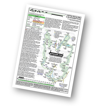
Route Summary:
Grizedale Forest Visitor Centre - Silurian Way - Priest Wood - Ridding Wood - Braithwaite Plantation - Potato Peg Plantation - Grisedale Tarn - The Connob - Low Scar Wood - Beck Side Intake - Great Wood - New South Wales Plantation - Breasty Haw - Lawrence Scar Wood - Dale Park Scar - Blind Lane Wood - Force Knott - Swainsley Hill - Force Beck - Farce Falls - Low Bowkerstead Hob Gill Plantation - Satterthwaite - Scale Green Wood - Scale Green Intake - Carron Crag - Park Plantation - Broad Piece - Grizedale Forest Visitor Centre

|
Vital Statistics:
| Length: | 6.25 miles (10 km) |
| Ascent: | 1,611ft (491m) |
| Time: | 4 hrs |
| Grade: | |

Route Summary:
Birker Fell - Tewit Moss - Rough Crag (Birker Fell) - Water Crag (Birker Fell) - Linbeck Gill - Birkby Fell - The Knott (Stainton Fell) - White Pike (Birkby Fell) - Yoadcastle - Woodend Height (Yoadcastle) - Cockly Moss - Rowantree How - Devoke Water - Washfold Point - Seat How (Birker Fell) - Tewit Moss - Birker Fell

|
Vital Statistics:
| Length: | 5 miles (8 km) |
| Ascent: | 1,935ft (590m) |
| Time: | 4 hrs |
| Grade: | |

Route Summary:
Coniston - Walna Scar Road - Goat's Water - The Old Man of Coniston - Low Water - Walna Scar Road - Coniston

|
Vital Statistics:
| Length: | 12.75 miles (20.5 km) |
| Ascent: | 4,191ft (1,277m) |
| Time: | 8.75hrs |
| Grade: |  |

Route Summary:
Coniston - Walna Scar Road - Boo Tarn - Torver Beck - Cove Bridge - Goat's Water - Goat's Hawse - Dow Crag - Goat's Hawse - The Old Man of Coniston - Brim Fell - Levers Hawse - Grey Friar - Great Carrs - Swirl How - Prison Band - Keld Gill Head - Black Sails - Wetherlam - Swirl Hawse - Levers Water - Crowberry Haws - Walna Scar Road - Coniston

|
Vital Statistics:
| Length: | 8.25 miles (13 km) |
| Ascent: | 2,778ft (847m) |
| Time: | 5.75hrs |
| Grade: | |

Route Summary:
Coniston - Walna Scar Road - Goat's Water - The Old Man of Coniston - Brim Fell - Levers Hawse - Swirl Band - Swirl How - Prison Band - Levers Water - Walna Scar Road - Coniston

|
Vital Statistics:
| Length: | 10 miles (16 km) |
| Ascent: | 1,364ft (416m) |
| Time: | 5 hrs |
| Grade: | |
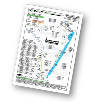
Route Summary:
Coniston - Walna Scar Road - Banishead - Torver Beck - Torver - Beckstones - The Cumbria Way - Coniston Water - Coniston Sailing Club - Coniston Hall - Coniston

|
Vital Statistics:
| Length: | 7.75 miles (12.5 km) |
| Ascent: | 1,758ft (536m) |
| Time: | 4.75hrs |
| Grade: | |
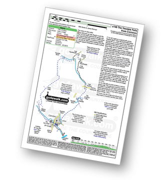
Route Summary:
Coniston - The Cumbria Way - Low Yewdale - Yewdale Beck - High Yewdale - Yew Band - Low Tilberthwaite - High Tilberthwaite - Low Coppice - Tilberthwaite Gill - Crook Beck - Hole Rake - Miners Bridge - Church Beck - Coniston

|
Vital Statistics:
| Length: | 9.75 miles (15.5 km) |
| Ascent: | 3,664ft (1,117m) |
| Time: | 7.25hrs |
| Grade: | |

Route Summary:
Coniston - Church Beck - Levers Water Beck - Crowberry Haws - Low Water - The Old Man of Coniston - Brim Fell - Levers Hawse - Swirl Band - Swirl How - Prison Band - Swirl Hawse - Keld Gill Head - Black Sails - Red Dell Head Moss - Wetherlam - Furness Fells - Coniston

|
Vital Statistics:
| Length: | 7.5 miles (12 km) |
| Ascent: | 2,762ft (842m) |
| Time: | 5.25hrs |
| Grade: | |

Route Summary:
Coniston - Walna Scar Road - Boo Tarn - The Old Man of Coniston - Brim Fell - Levers Water - Boulder Valley - Crowberry Haws - Miners Bridge - Coniston

|
Vital Statistics:
| Length: | 10 miles (16 km) |
| Ascent: | 3,584ft (1,092m) |
| Time: | 7 hrs |
| Grade: | |

Route Summary:
Coniston - Church Beck - Levers Water Beck - Crowberry Haws - Low Water - Brim Fell - Levers Hawse - Swirl Band - Swirl How - Prison Band - Swirl Hawse - Keld Gill Head - Black Sails - Red Dell Head Moss - Wetherlam - Furness Fells - Coniston

|
Vital Statistics:
| Length: | 4 miles (6.5 km) |
| Ascent: | 1,651ft (503m) |
| Time: | 3.25hrs |
| Grade: | |
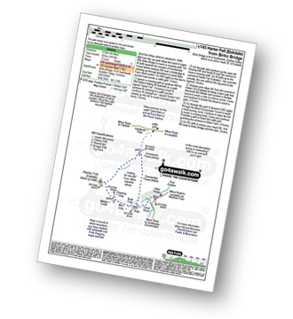
Route Summary:
Birks Bridge - Birks Farm - Harter Fell (Eskdale) - Dunnerdale Forest - River Duddon - Birks Bridge

|
Vital Statistics:
| Length: | 4.75 miles (7.5 km) |
| Ascent: | 945ft (288m) |
| Time: | 2.75hrs |
| Grade: | |

Route Summary:
Witherslack Hall School - Black Yews Scar - Flodder Allotment - Lord's Seat (Whitbarrow Scar) - Farrar's Allotment - Whitbarrow Scar - Buckhouse Wood - Beck Head (Witherslack) - Witherslack Hall School

|
Vital Statistics:
| Length: | 3.75 miles (6 km) |
| Ascent: | 627ft (191m) |
| Time: | 2 hrs |
| Grade: | |
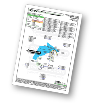
Route Summary:
Arnside (Morecambe Bay) - Red Hills Wood - Arnside Knott - Copridding Wood - Grubbins Wood - Morecambe Bay - The Cumbria Coastal Way - Arnside (Morecambe Bay)

|
Vital Statistics:
| Length: | 8.5 miles (13.5 km) |
| Ascent: | 1,953ft (595m) |
| Time: | 5 hrs |
| Grade: | |

Route Summary:
Stanley Force NT Car Park - Eskdale - Boot - River Esk - Low Birker - Crook Crag - Green Crag (Ulpha Fell) - Great Worm Crag - Brown Rigg - Sike Moss - Birkerthwaite - Low Ground Cottages - Stanley Force - River Esk - Stanley Force NT Car Park - Eskdale
Not familiar with the area around LA16?
See these 30 nearest walks to UK Postcode LA16 on a google map





